

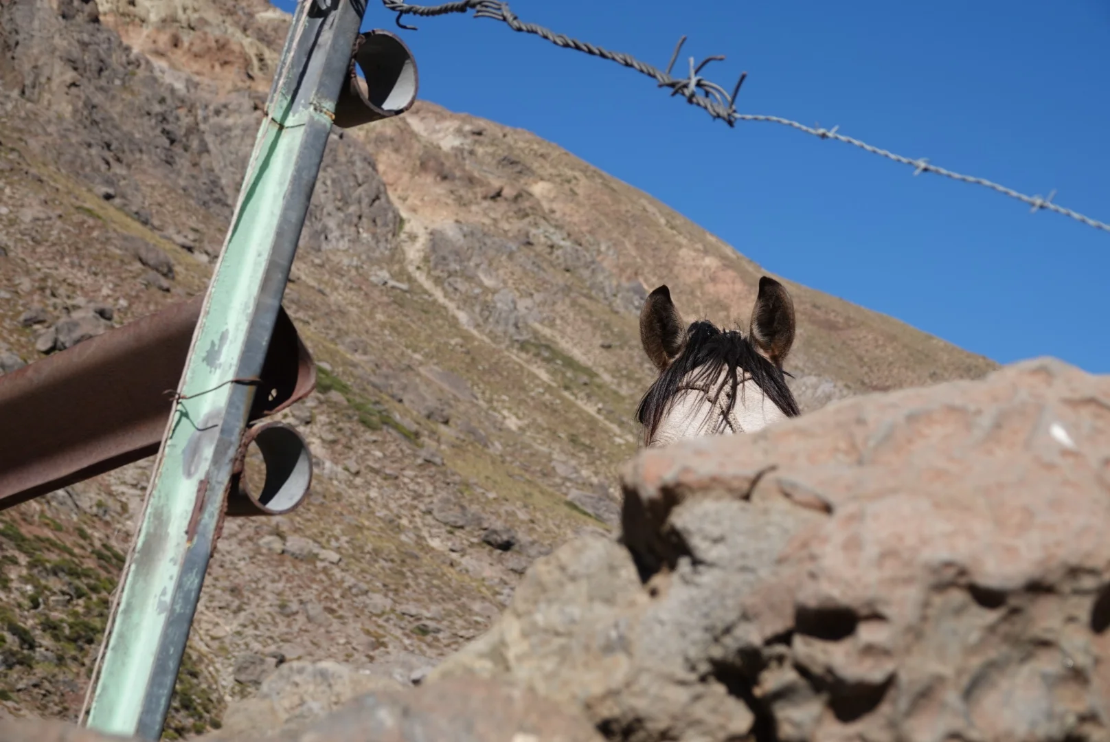
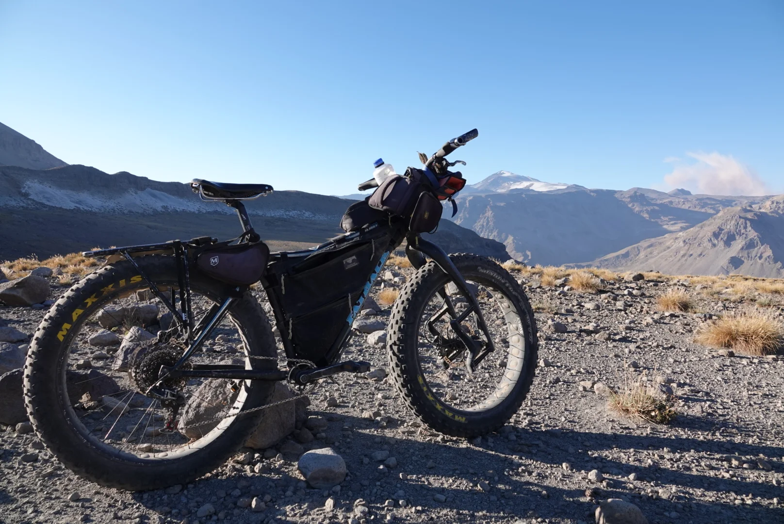
I was ready to go, bike packed and the backpack ready (heavier items are in it to make pushing the bike easier). Had I known what lay ahead I would have definitely sent my bike back with Matt yesterday and just hiked it. Curious looks by the horses on my way around the lake

and the way up seemed absolutely crazy, I sat at the ridge separating chile and argentina wondering - if I dont turn back now, I will likely not turn back at all

you see the trail?
one trip for the backpack and one trip for the bike and that made things more doable.

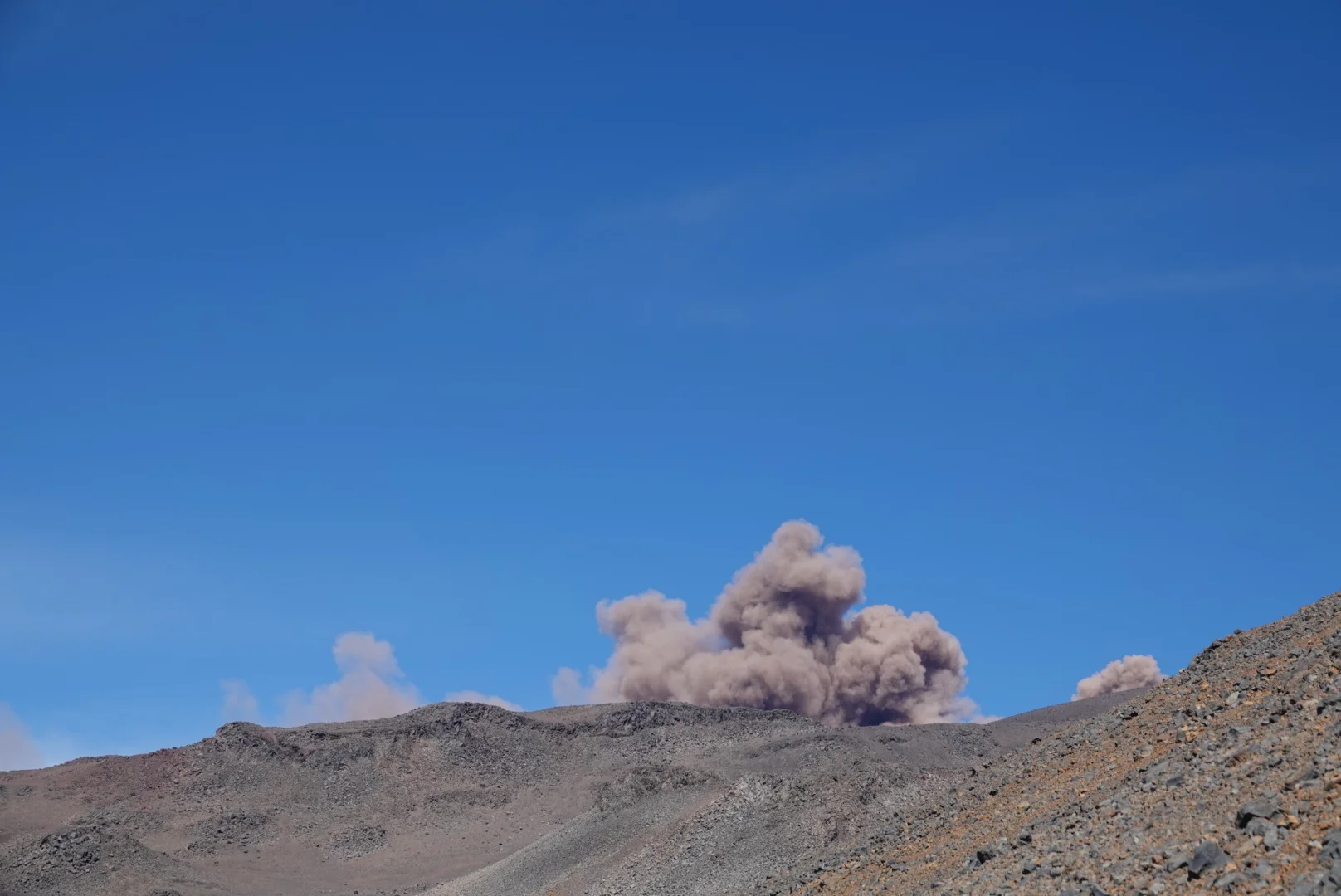
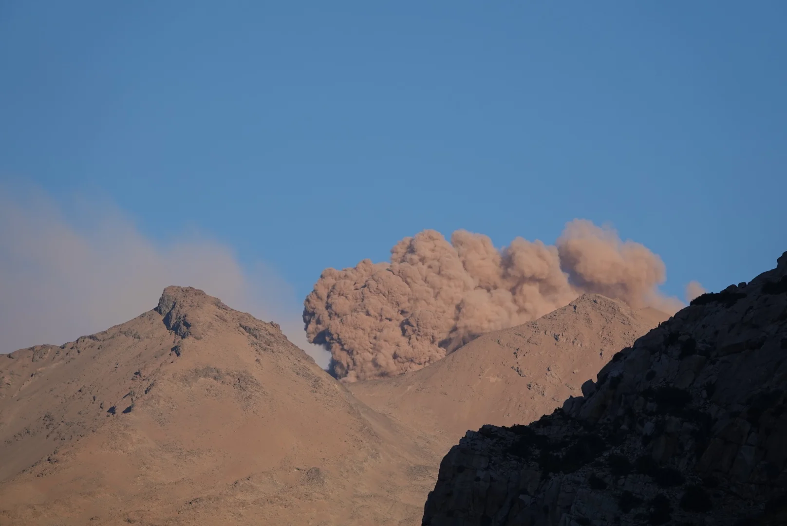
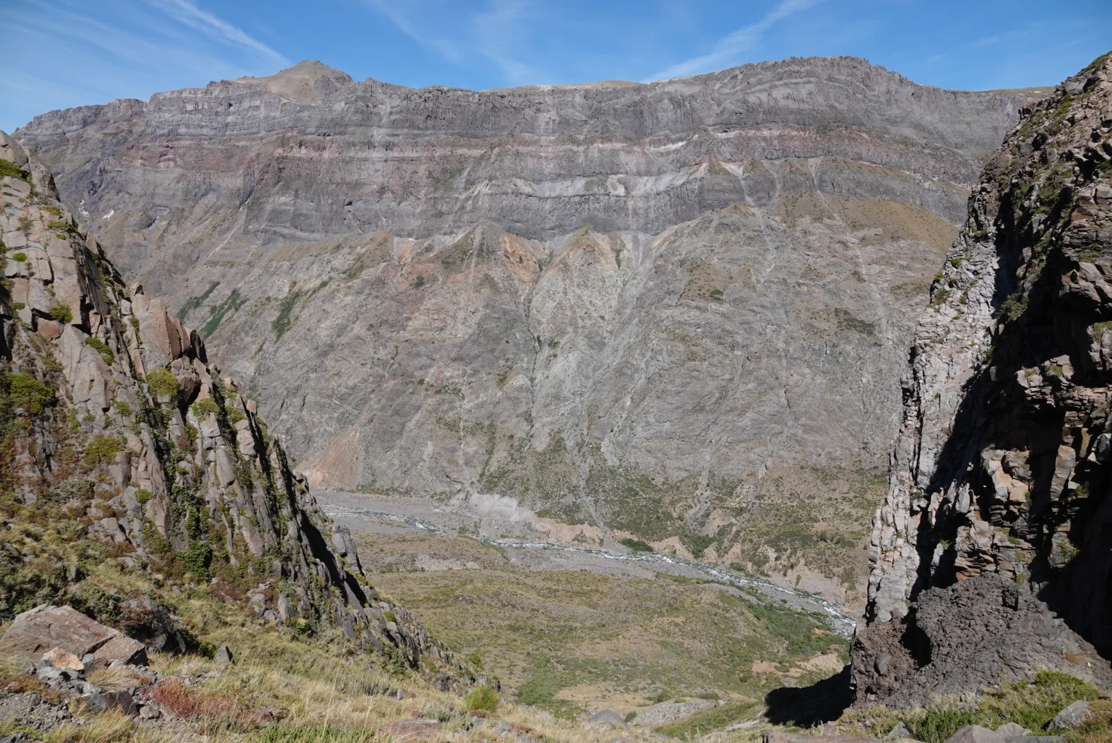
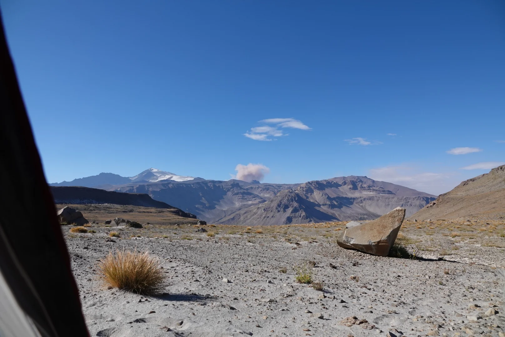
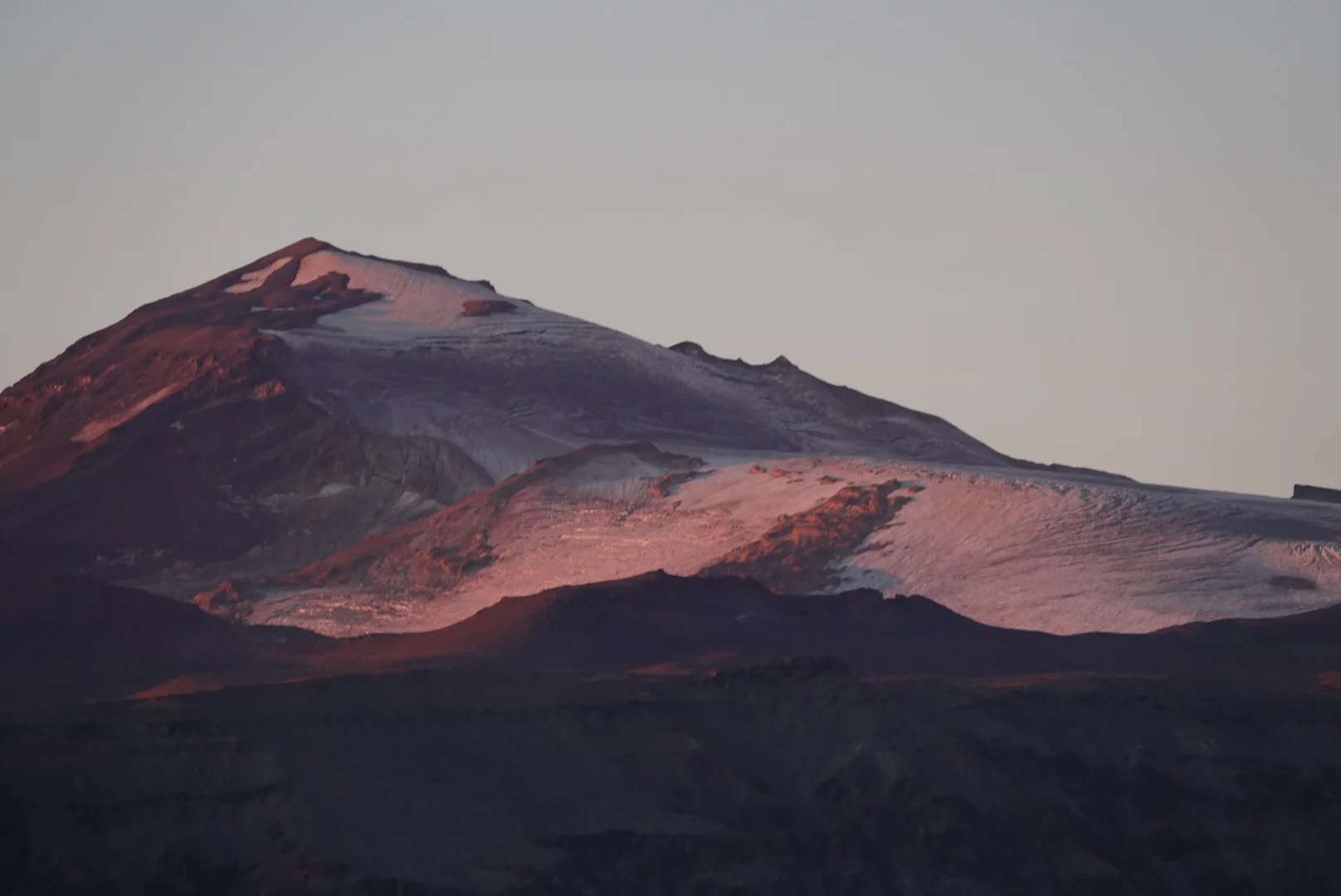
sadly on the top all I could see was the nice mountains in the distance and nothing of the trail that can connect to where I was going, only the one climbing to the active volcano and I dont want to go there.

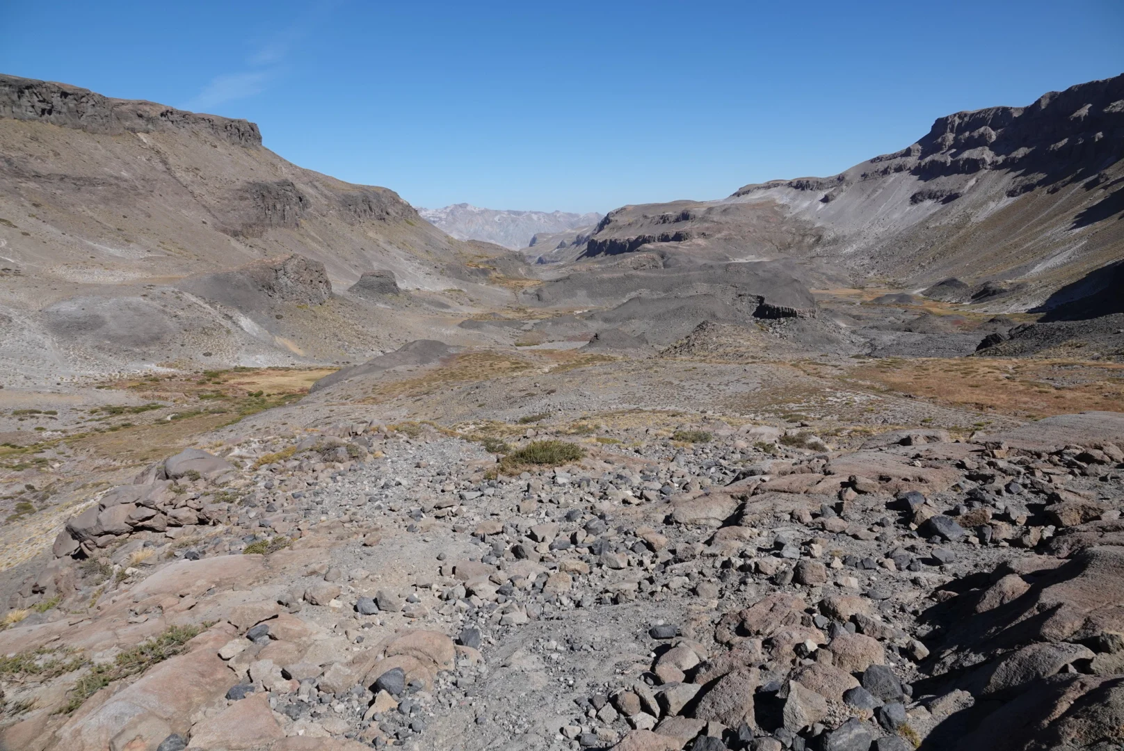
I went along the flat ridge until it ended and tried to follow the path of least resistance in the direction I thought was right, eventually stumbling upon an old trail and deciding to take advantage of a rate DUST FREE camp on the rocks.


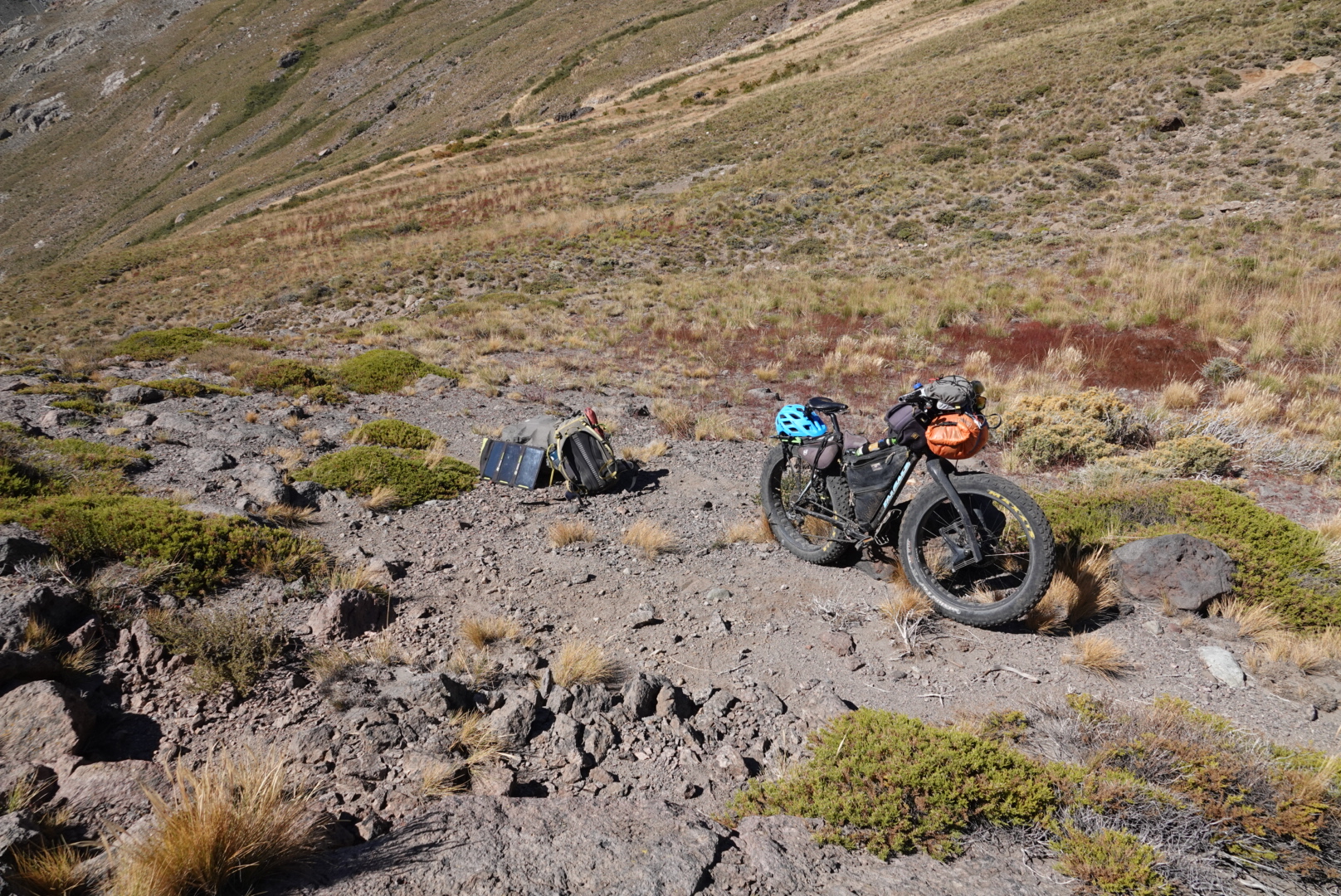
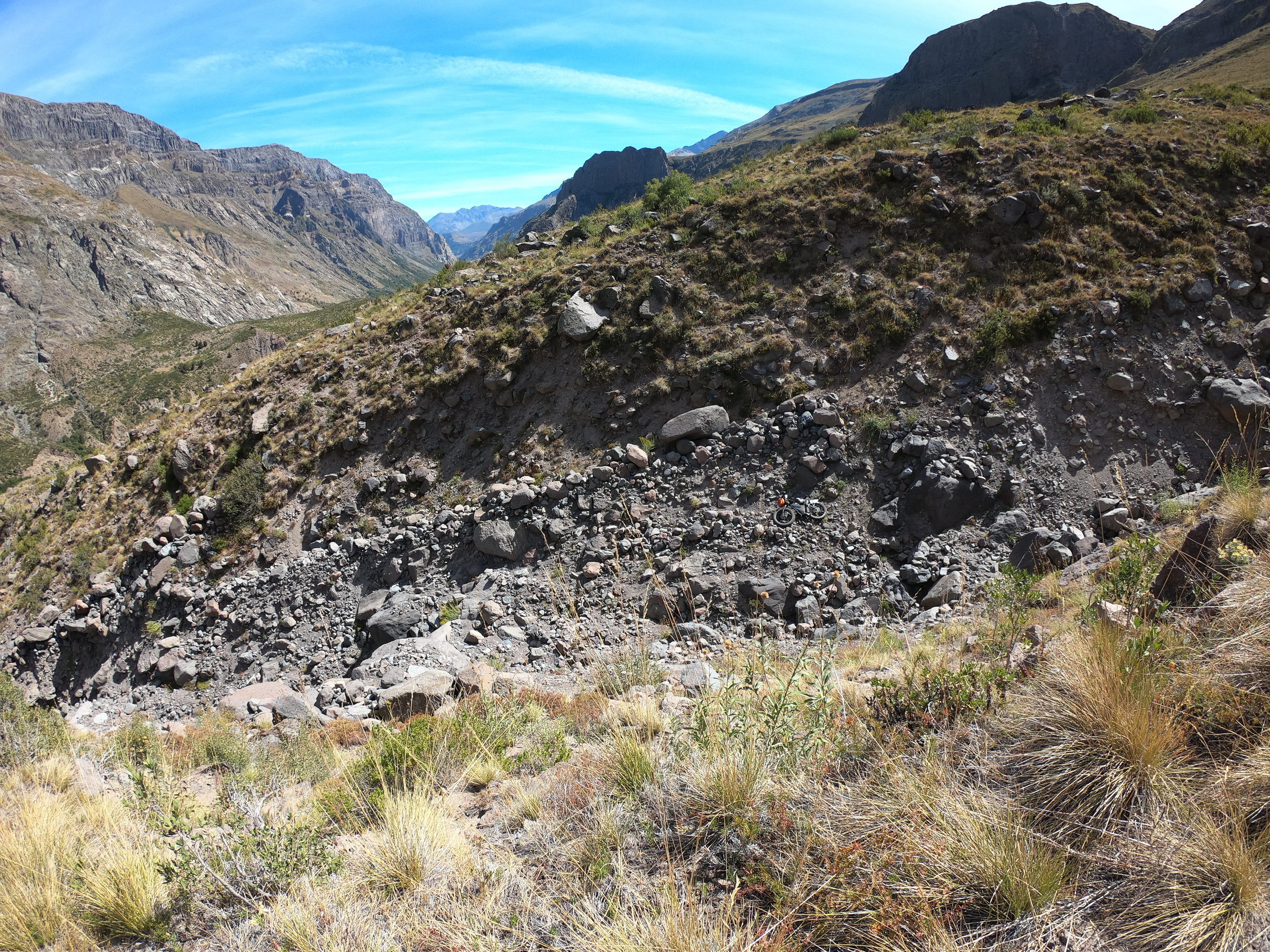
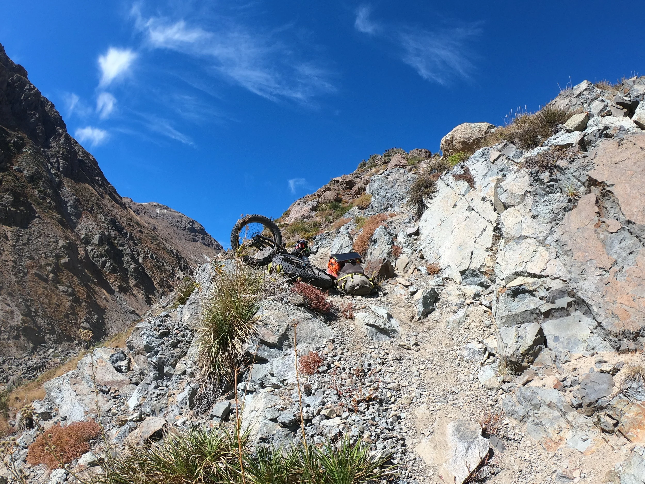
The trail was not really rideable but with a fatbike and helmet I really pushed my luck, having to jump off few times as these big rocks are wedged in the soft sand and can really swing and move as you go over them

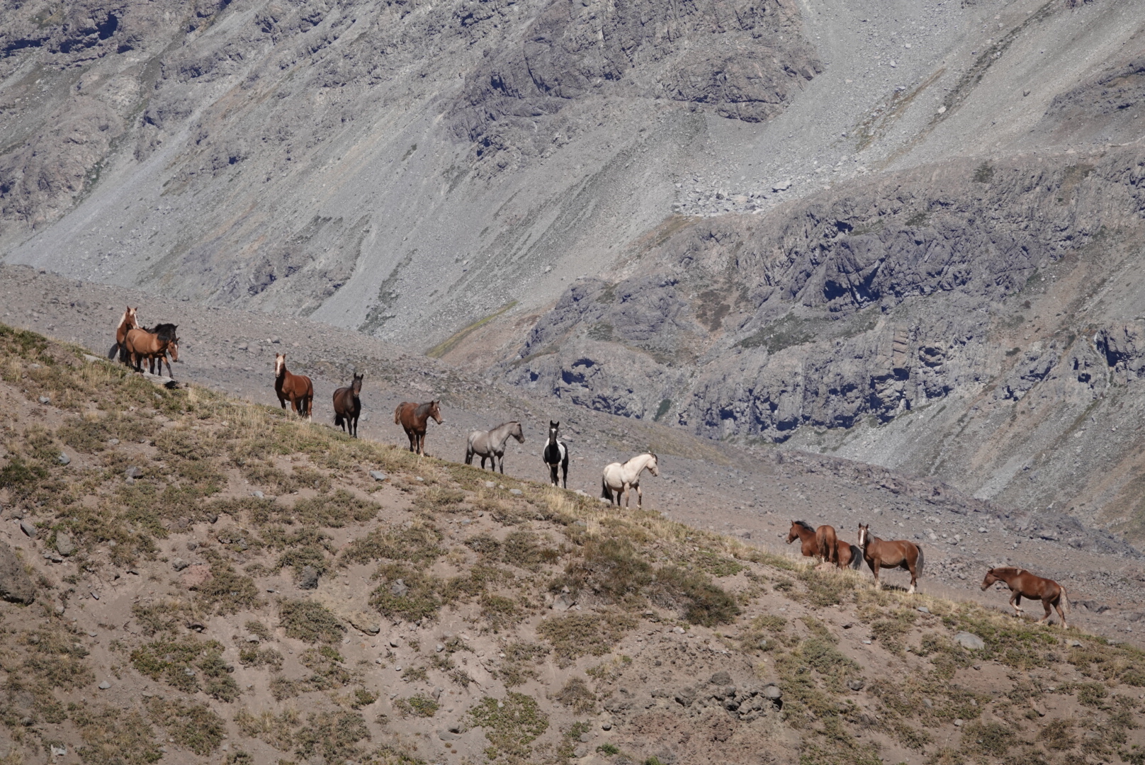
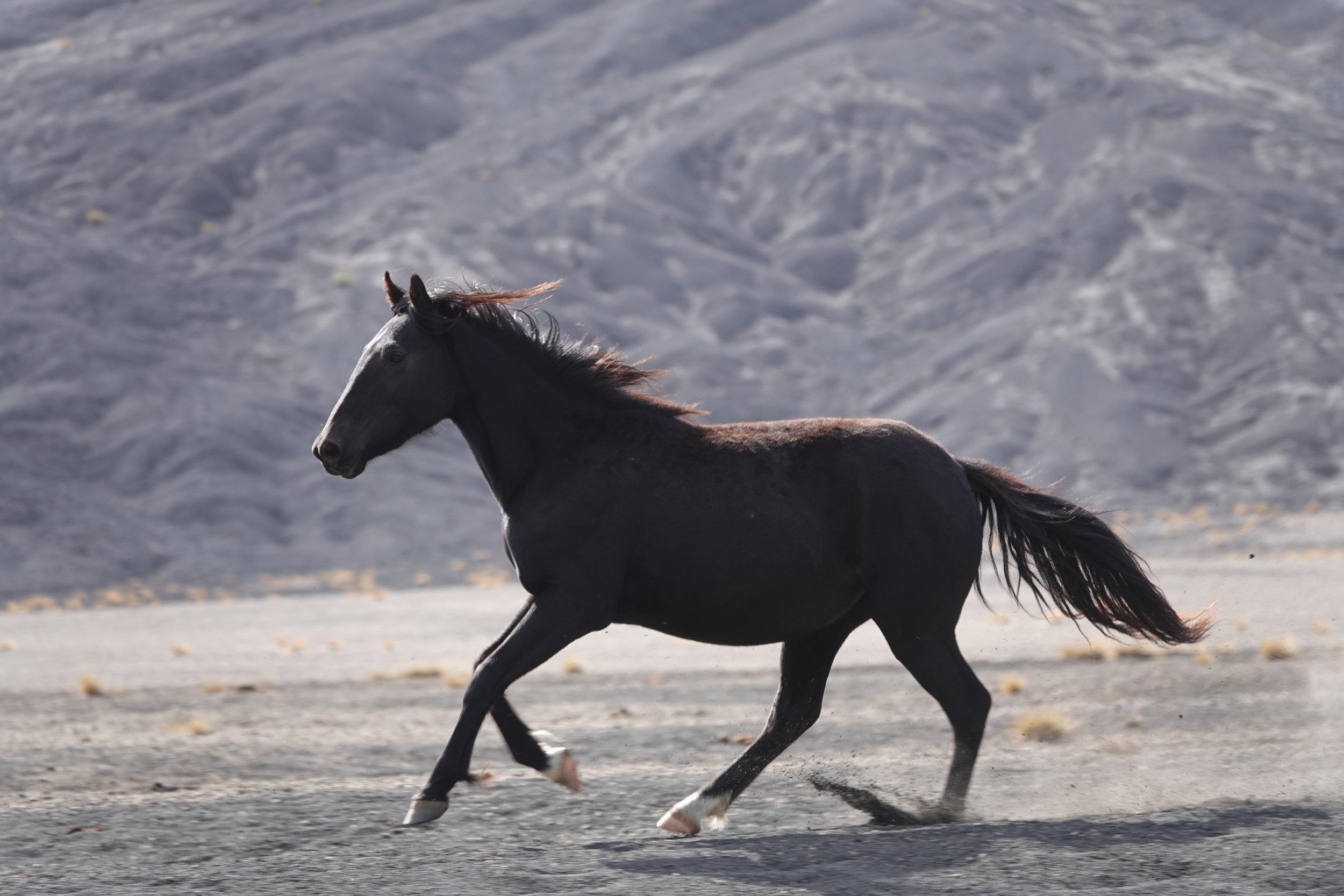
i stirred quite the commotion among a band of horses as they watched me roll down the hill

that was about 2000m vertical descend and surprisingly tough on the legs with that big backpack always on. I loaded up on water at a river and began a sandy, rocky ascend in search of a decent camp and as things go in chile - that is not hard to find at all.

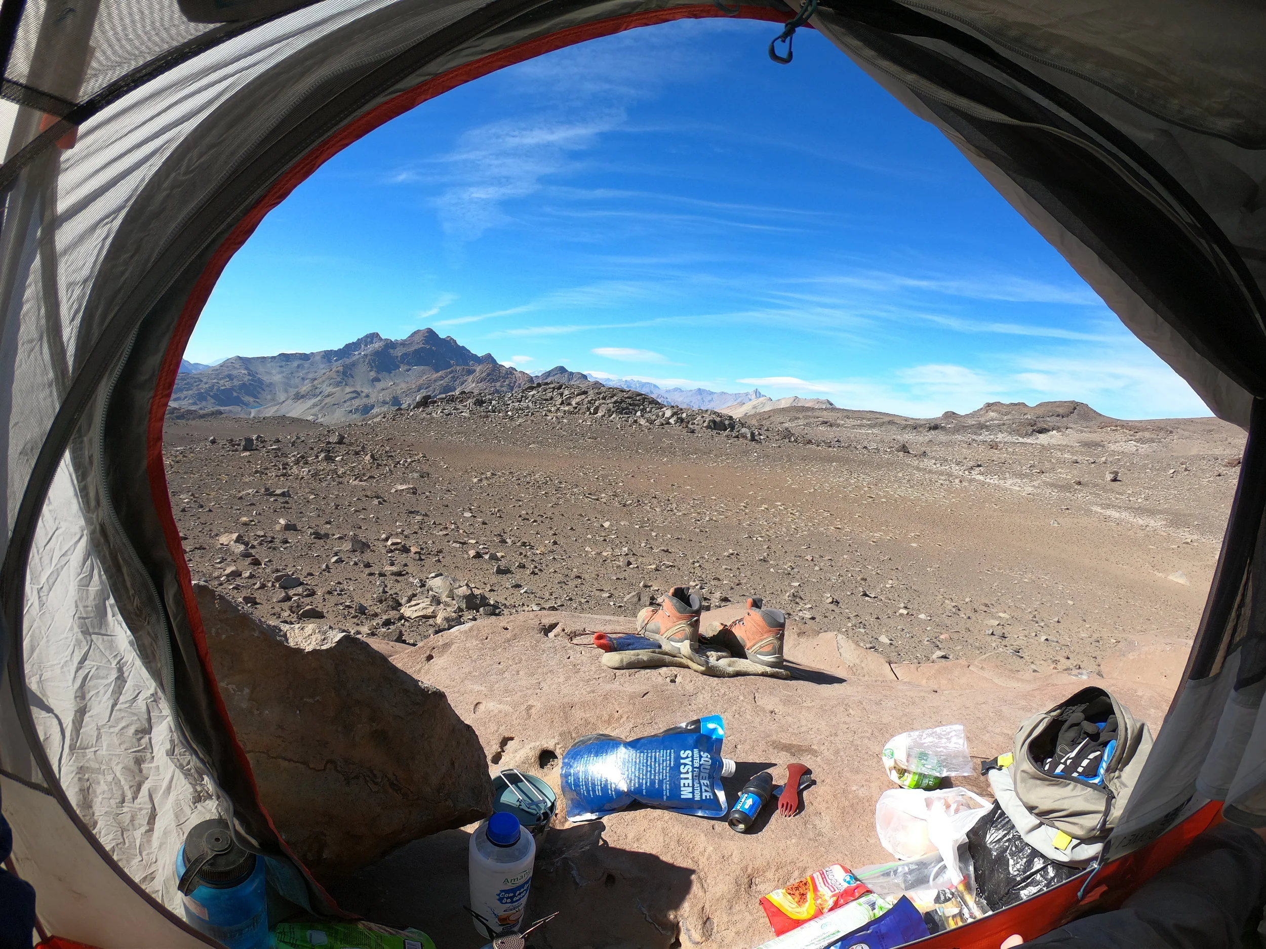
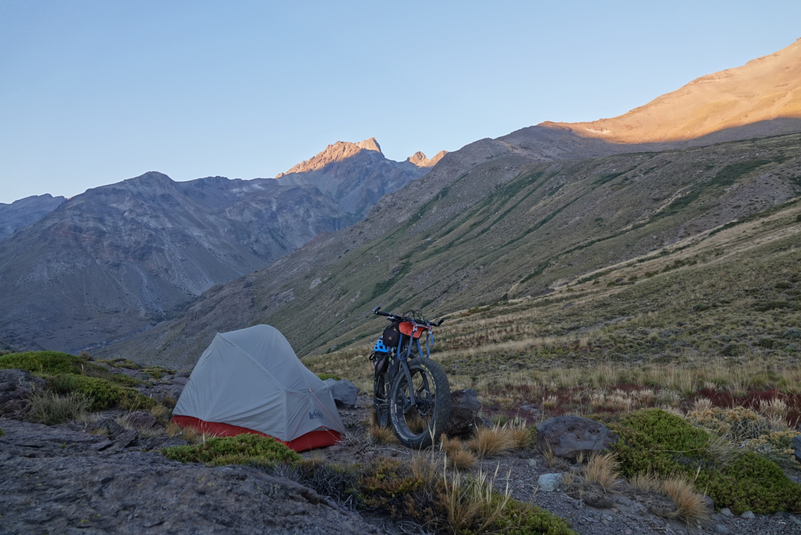
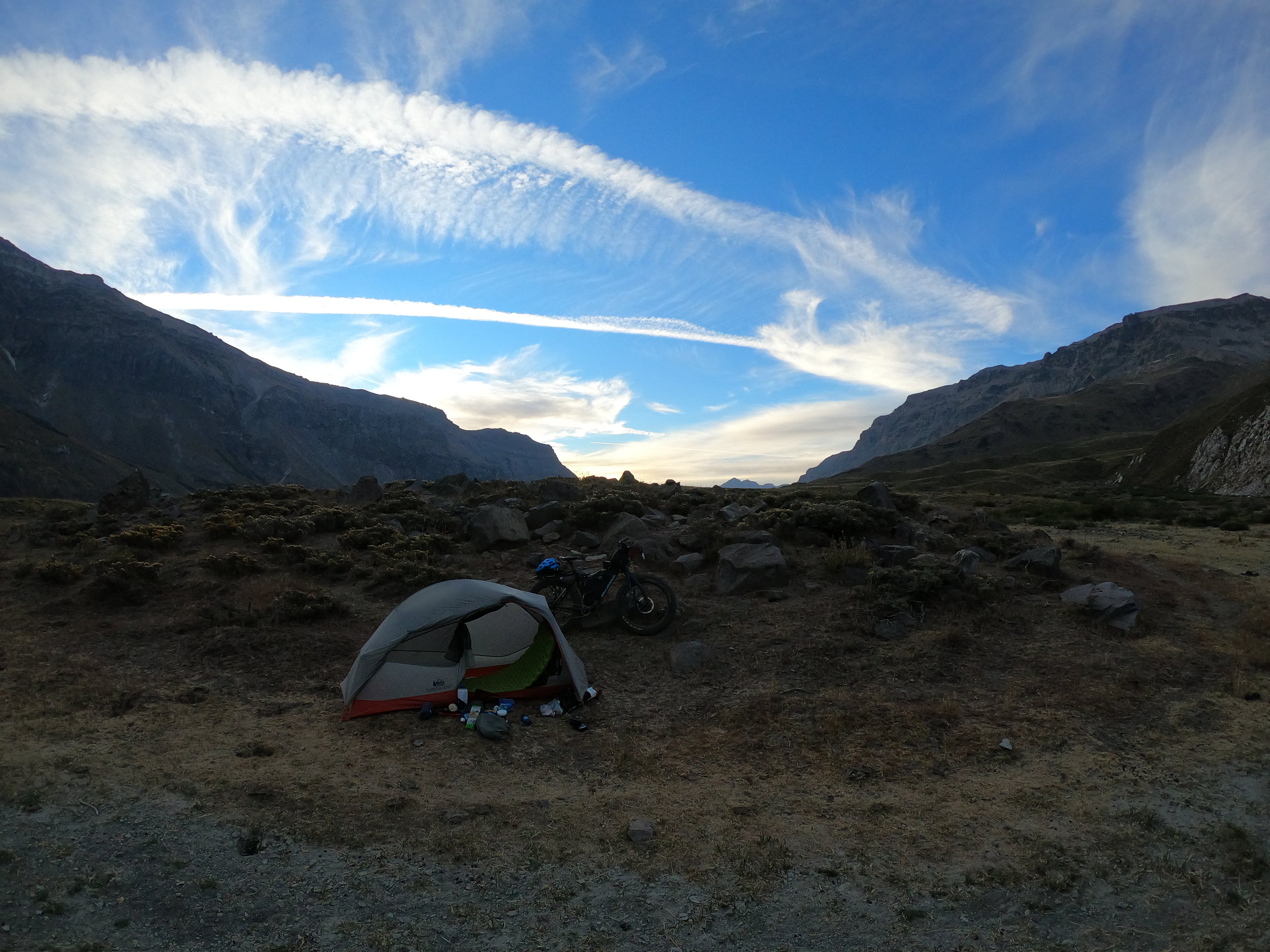
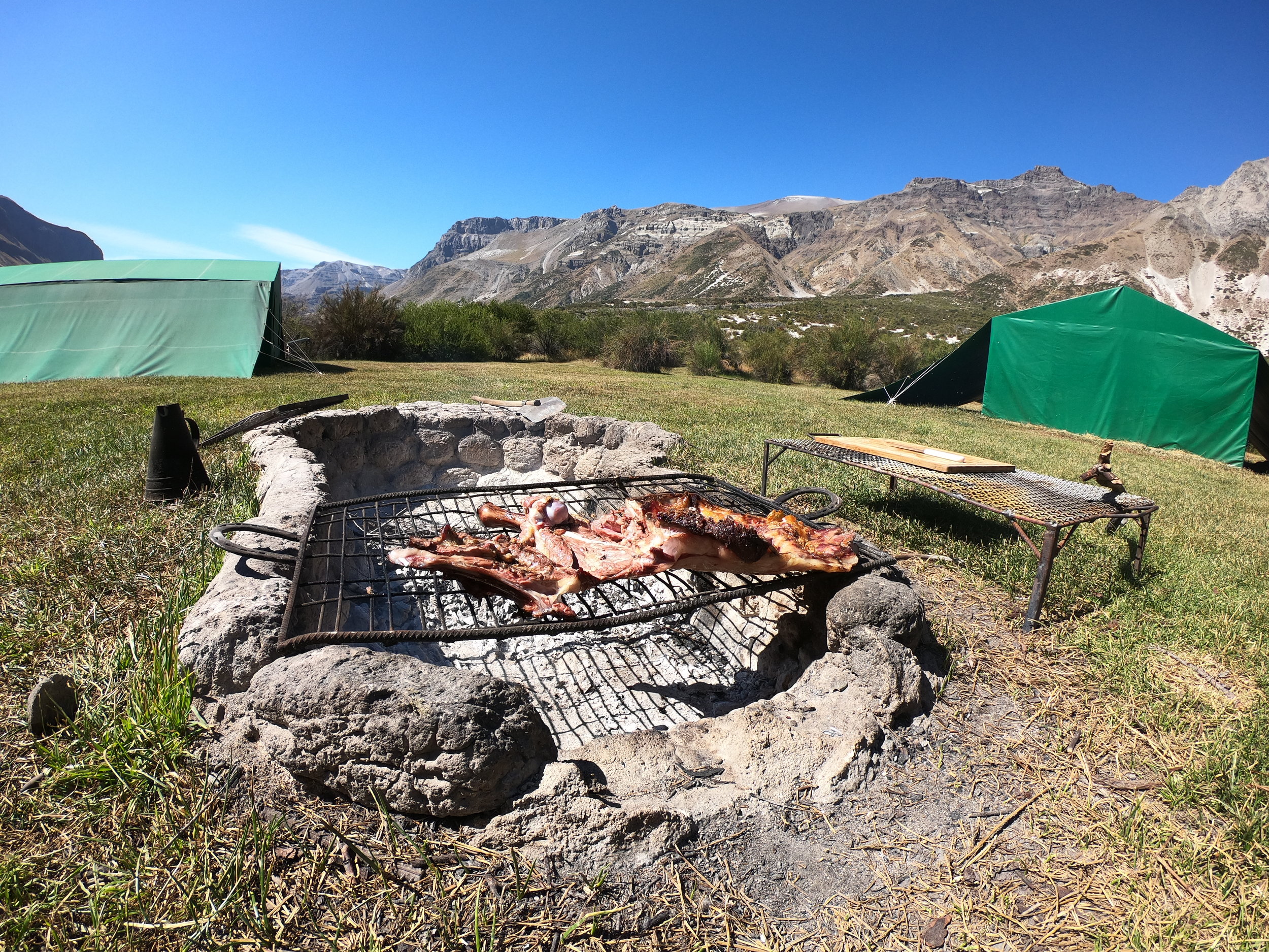
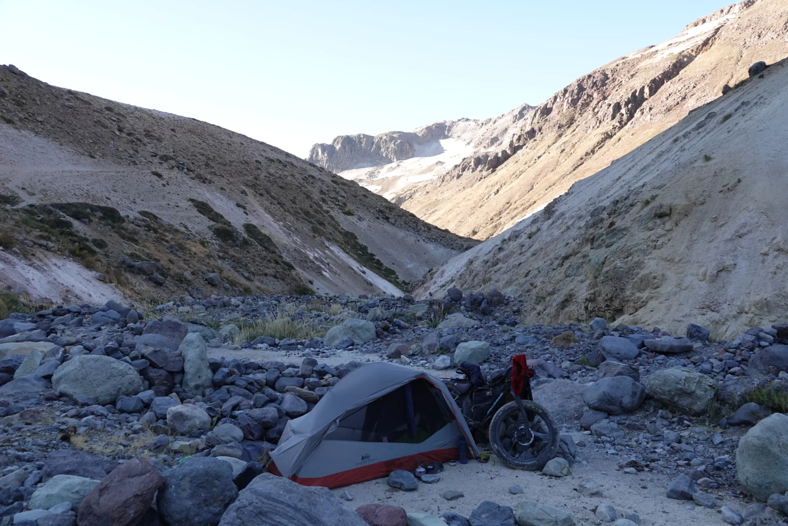
there is a certain kind of peace in the evenings, having a nice place, packed enough water and superb views from your tent

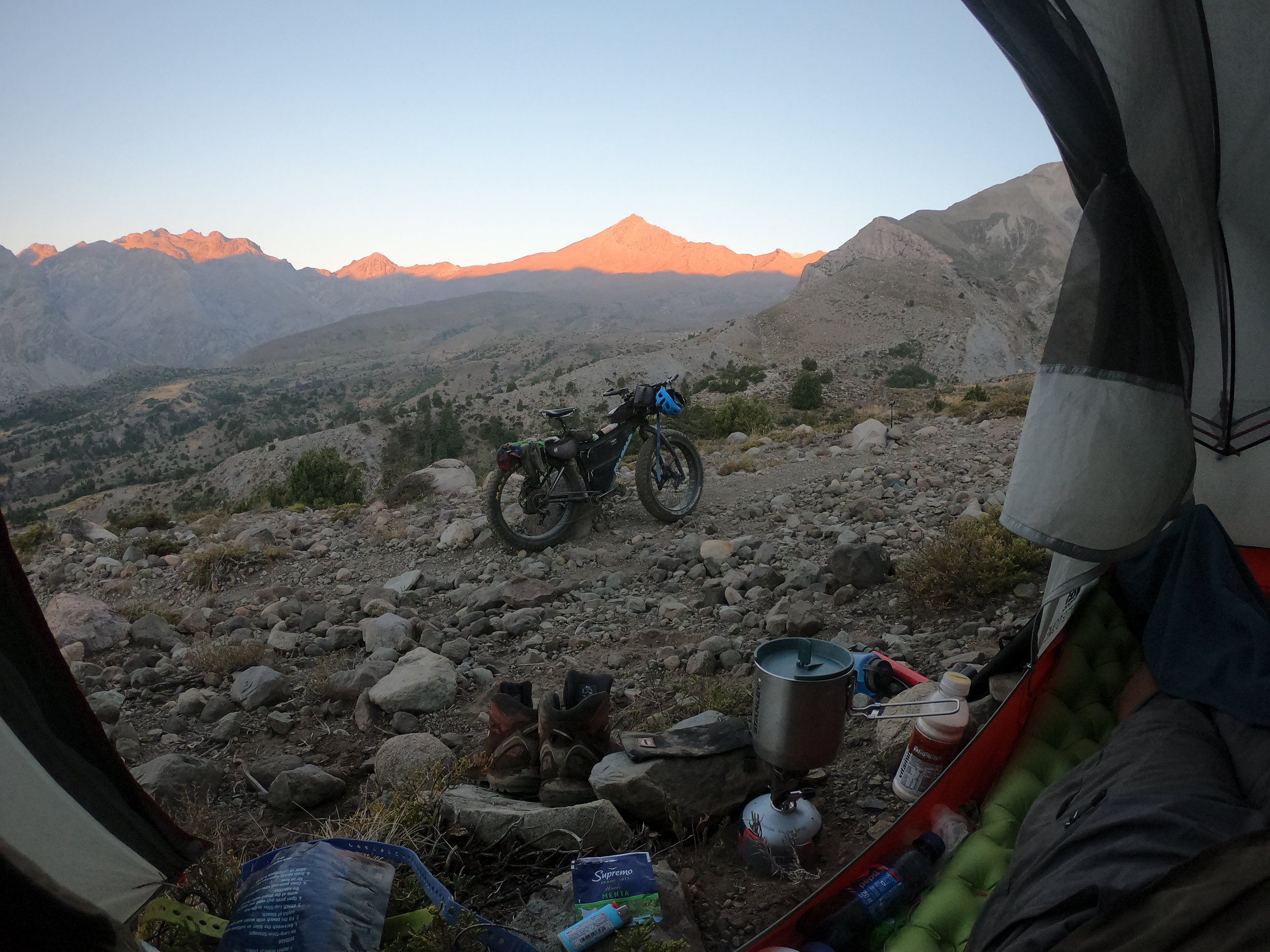
you could almost forget what lay ahead the following day…

but you could put the bike and the backpack down and watch one of these cute fluffballs watching you. it really warms up your heart
there are some rideable parts but most of the time you are looking down and thinking “yup, that 300m drop will be mostly walking down”

by 4pm I was up on another pass and scouting the hillside above and the topo map to conclude that this, although not much would be the best place to camp.
then my eye caught some shadows moving around me, I looked up and the condors were totally checking me out, probably wondering if they will get to eat me at some point. As magestic as they may seem they are in reality awkward looking turkeys with a 3 meter wingspan.


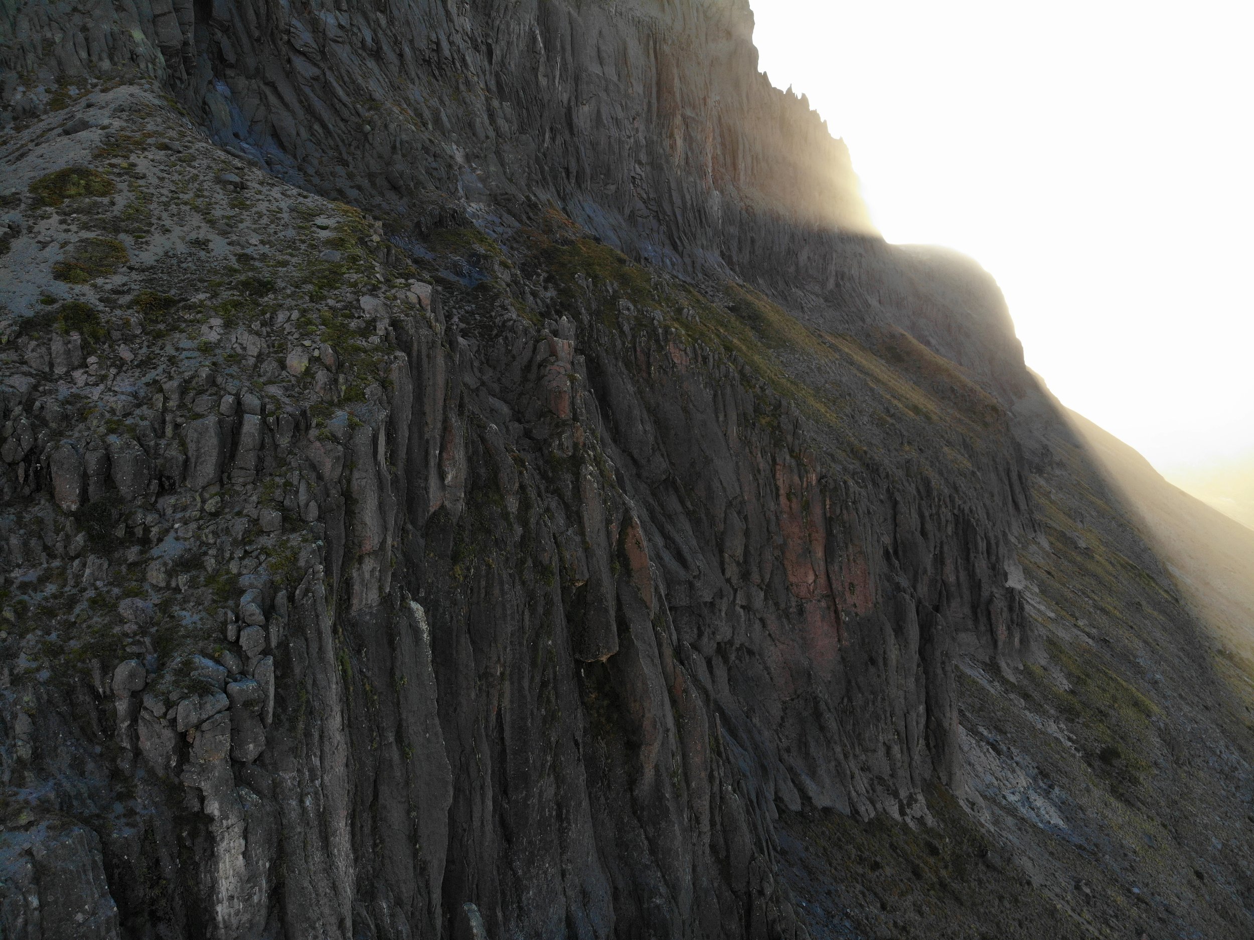
and this spot was quite good considering i was up on a steep, trailless canyon hill

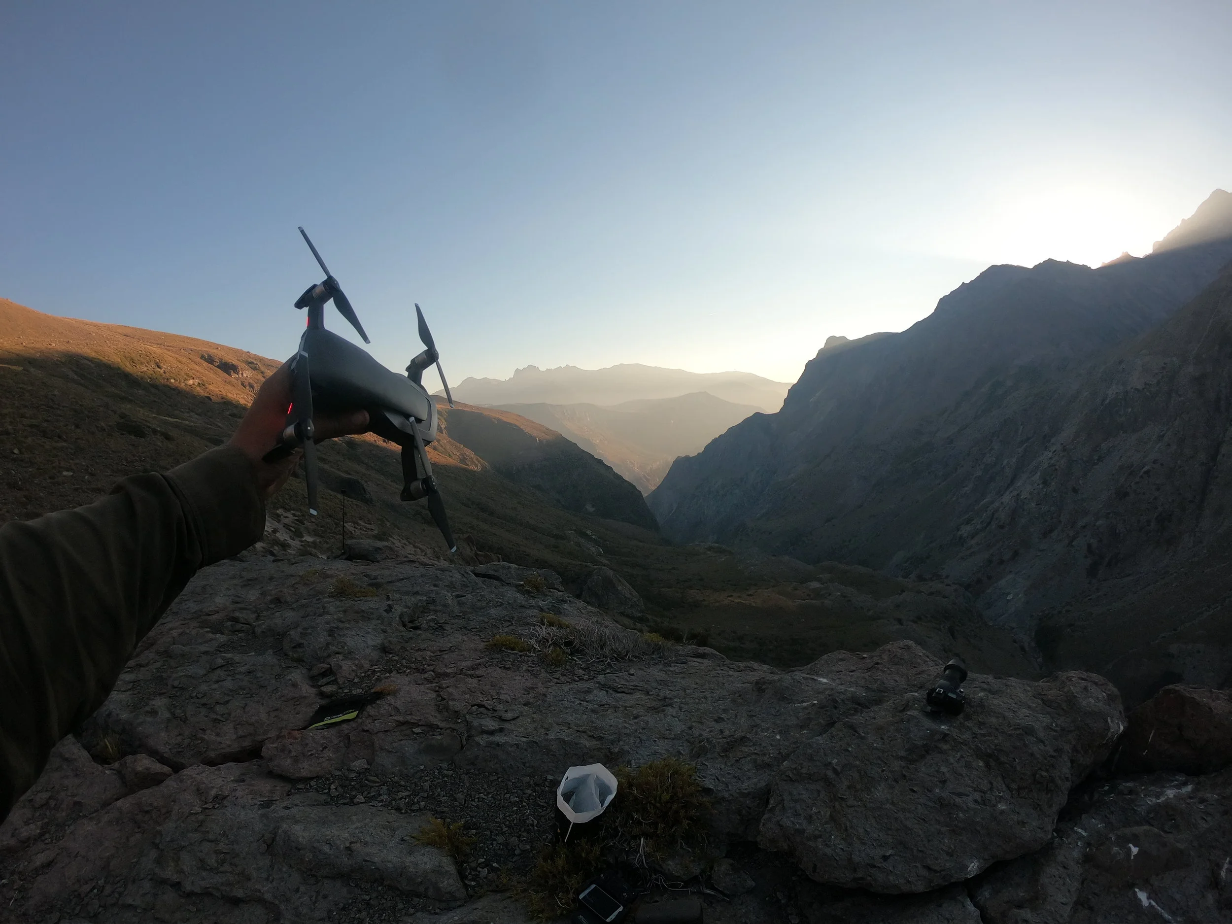
but after all, nothing beats a tough day like being out and looking at the colors change and the vast landscapes unfold before you. And being such a big yahoo about it but I love running all sorts of cameras and flying the drone.

one thing was for sure though. I am a little bit crazy. No person in their right mind would proceed to walk their bike with barely an hour of rideable time per day and… and love it! Feel like this is the best way to go and keep on dreaming that there will be more of that further on.


the Colorado Valley opens up, meaning that I will somehow have to drop from 2400m to 1300m along one of the walls

and had it not been for the thick vegetation or big (mostly securely wedged) rocks, I would have had to turn back. This downhill was a truly admirable grade and the only thing I kept thinking while sliding and scraping my way down was that doing it the other way would have been very phisically intensive.

but this was far from over, following that I proceeded to walk my bike along the valley with nothing but faint animal trails and rather impressive washouts running down the walls, some of which required significant scouting before I commit to a route through
sadly on this wash, I had to walk down few hundred meters and then walk up again until a reasonably possible way out.

soon I joined a trail and was able to move at a more reasonable pace but did not have the energy to make it to some hotsprings that the arieros told me about


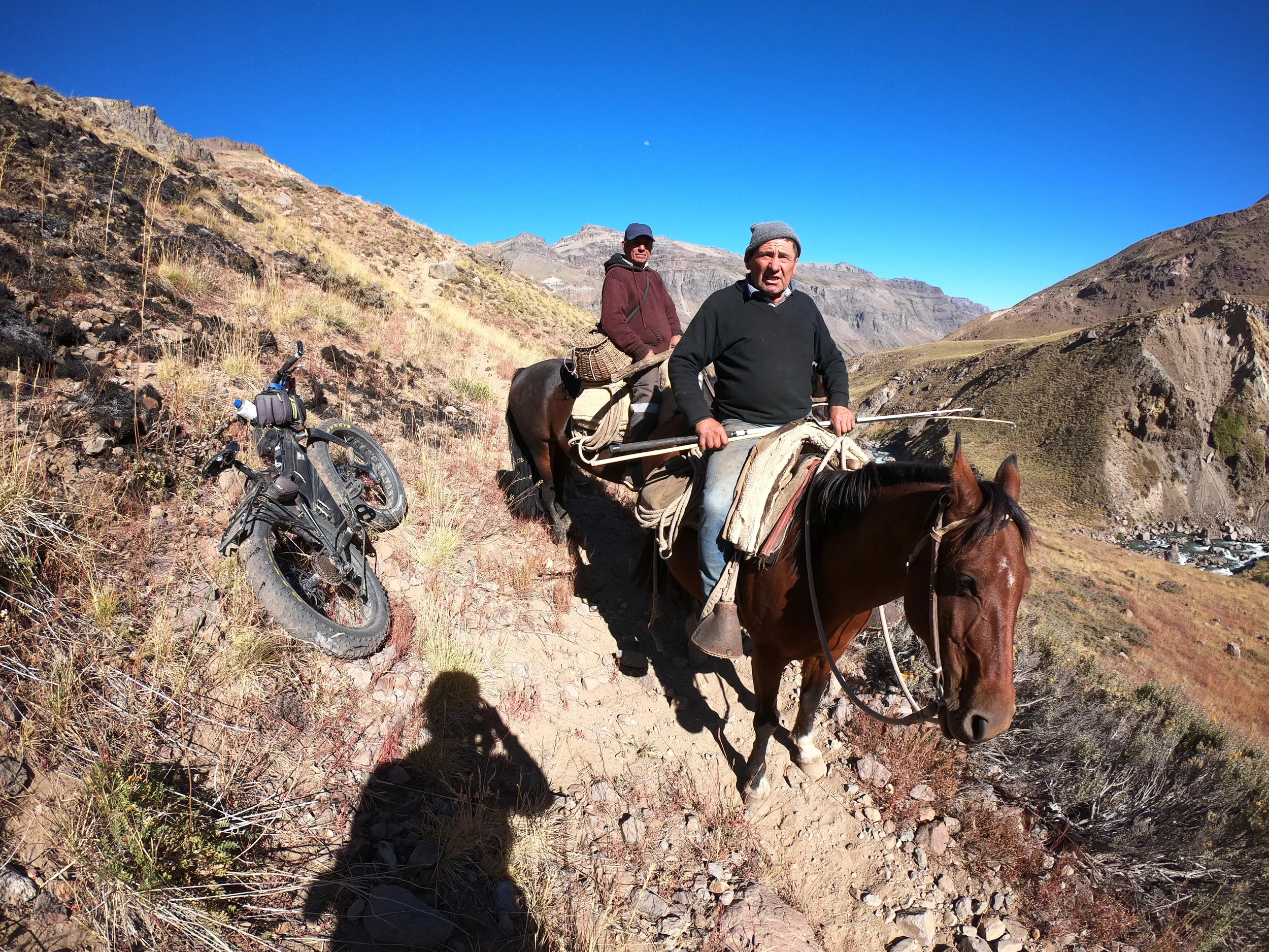
the arieros showed me my trail, it goes up along that burn and you can acually barely see it at the bottom right corner
here comes the river, my biggest worry but i knew where the people were so that i can ask for help if needed. It doesnt look like much and its nothing compared to what it could have been in spring during the melt, people have lost animals in it! That middle section is close to waist deep and not really that fast moving but the bottom was very slippery rocks but the good news is that aside from this - there was no progress halting obstacles in the way!


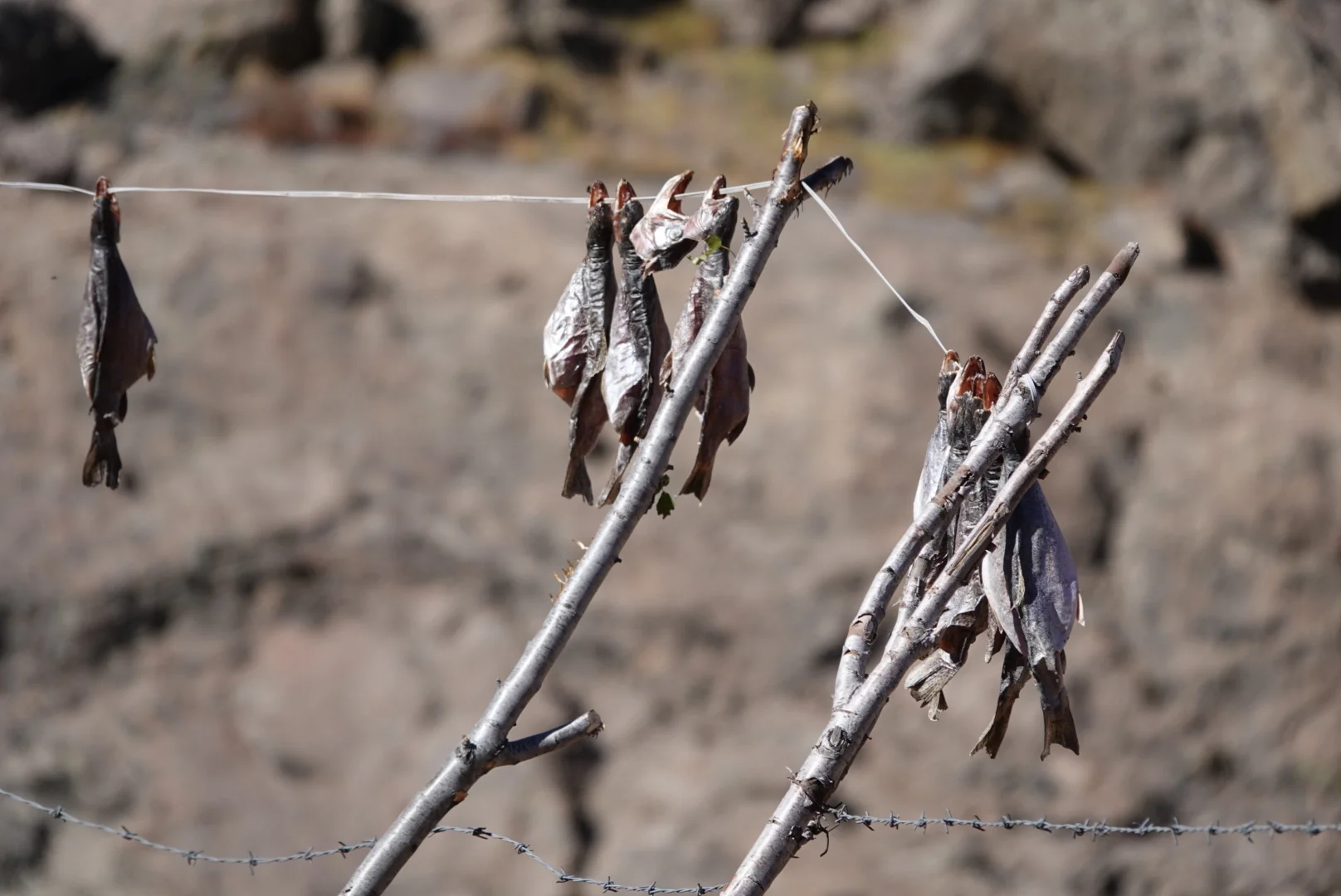
then these guys rolled down, going to fish. They had a good laugh when they heard the way I came down and assured me that i can make it to the next valley as it is passable by a horse. They invited me to grab as many dry trout as i want from their camp further up the valley
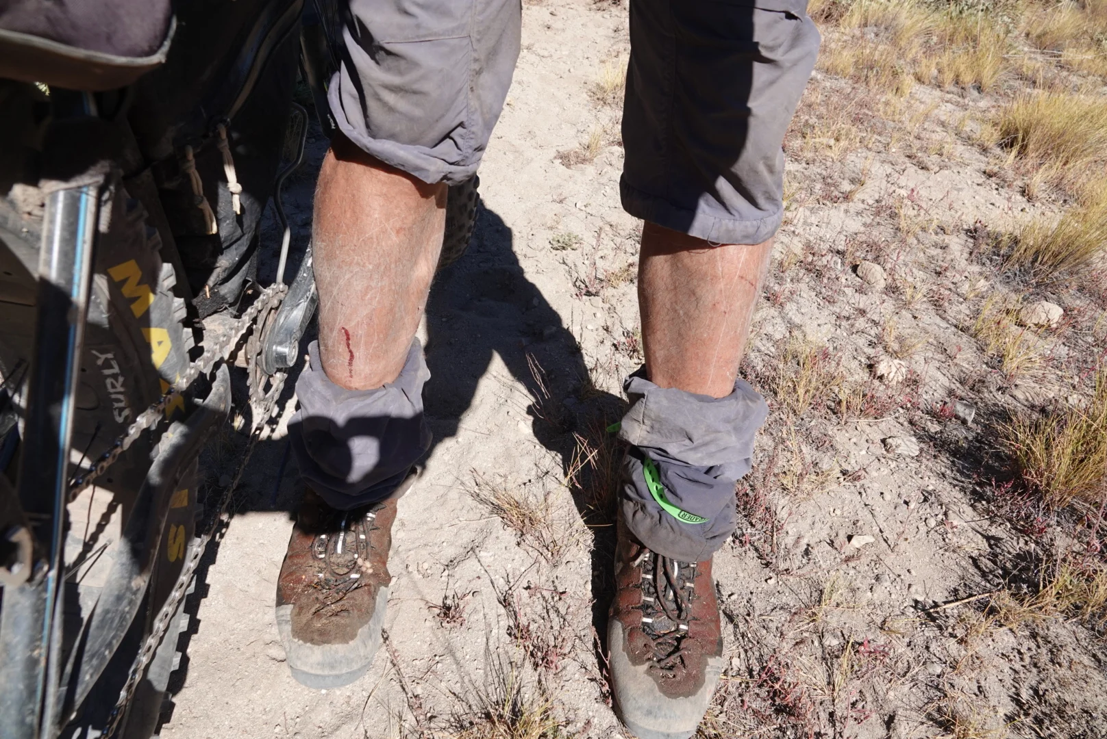
perhaps the one piece of gear I could have really made use of was Gaitors. My legs were scratched up and rocks and thorns get between the shoe and sock (thorns can wedge in between and be quite unpleasant, while rocks are tolerable for a while but still need to be taken out when they get under your soles. I used the bottom half of my pants with rubber ties to help that.
going up that hill was actually surprisingly not too bad.


i did not feel like pushing the last 200m to the 2600m pass and just set up early in the sand, walking barefeet was amazing and I got to see some ted talks and a nap.

then I was like “hey, i want to ride my bike” … so I went on a bike ride.
DAY 7
up to the ridge was super easy and the downhill - actually rideable. Not the hold to the handlebars and roll over rocks and hope you are still on the bike kind of rideable but I could sit down and pedal!!!


as rideable as it may have been - it still took most of the day to go from 2600m to 1400m

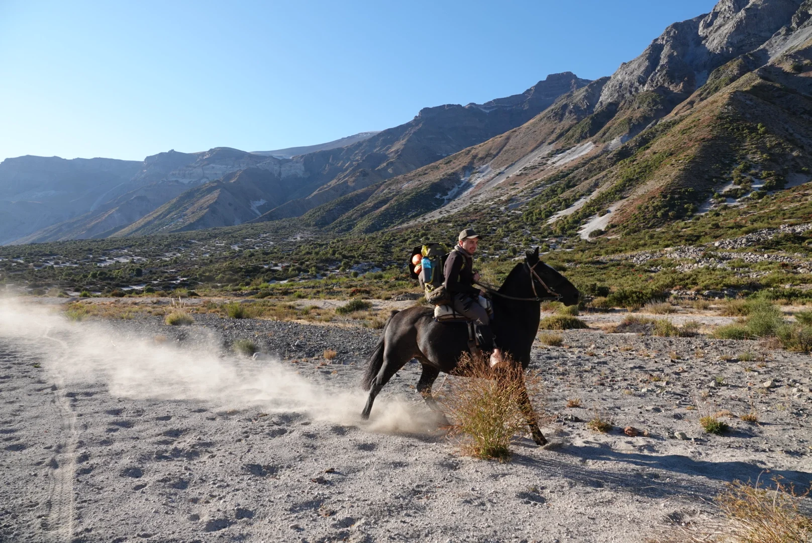
then I ran into a camp, a fishing camp of some banker that him and his friends helicopter to every now and then. I was immediately invited by the guys who run it Pato and Wildom. Then we are gone on a boat!

then on a horse, man horses are nice!

me and a hiker, Diego (industrial engineer who just quit his job and first thing he did was come here to hike!) enjoying cake. CAKE!!!! 8 days into the middle of nowhere and CAKE!

we watched Chile play USA live on TV with satellite. Beer and Pisco!

and sleeping on the hammock was amazing

“are you in a rush?”
”no”
”well, stay here for a day”
no problem, I can do that.

Angelito on the other hand was a cool but shy horse and very well groomed. I am sure he must impress the horse-ladies.


and just like that I was off again. Pato rushed ahead with Diego’s backpack and Diego took mine for the first part. He is going on the main route out of here and man that horse he rode had some serious flatulence.
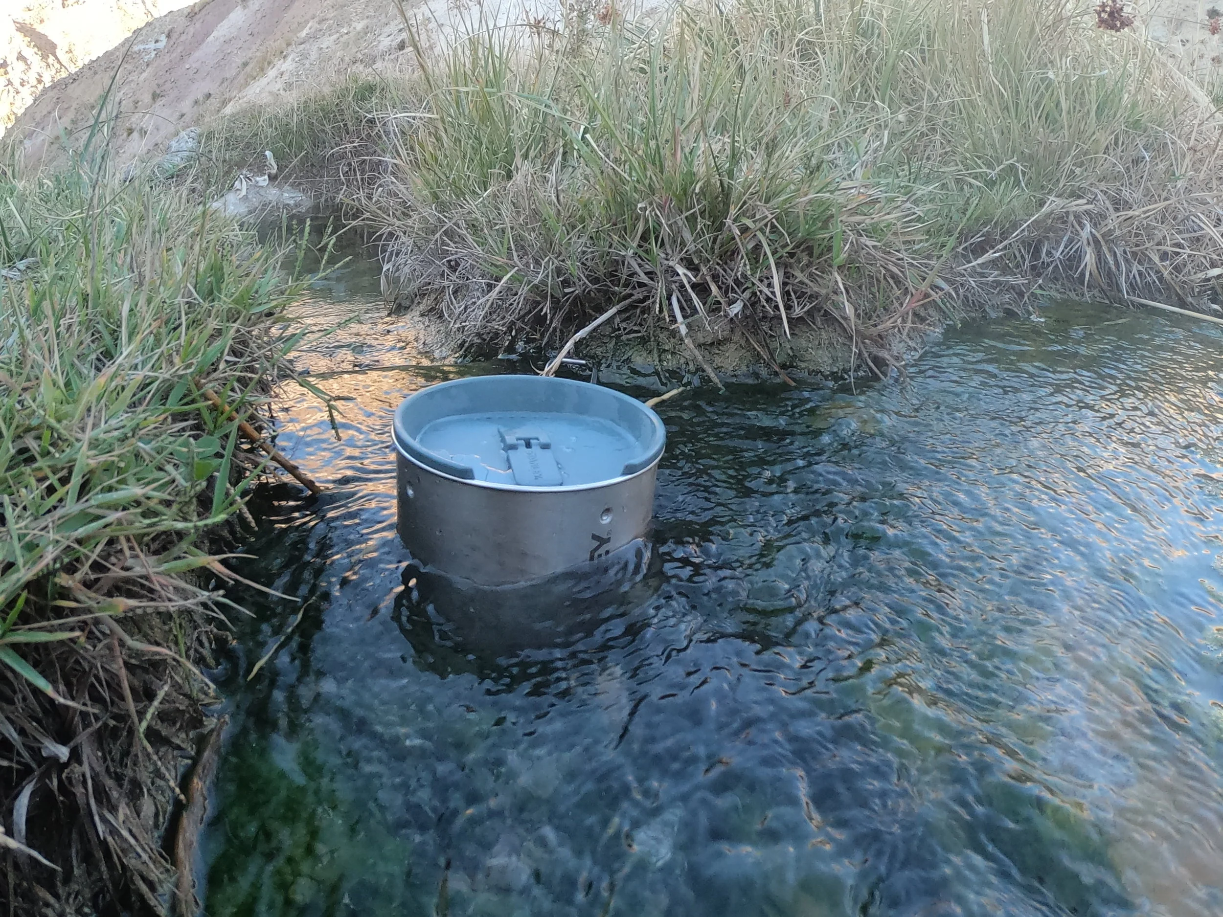
i set up camp at some hotsprings, washed my clothes (well just rinsed them) and for a moment put on a clean set of clothes ad felt like a human for once in a while.
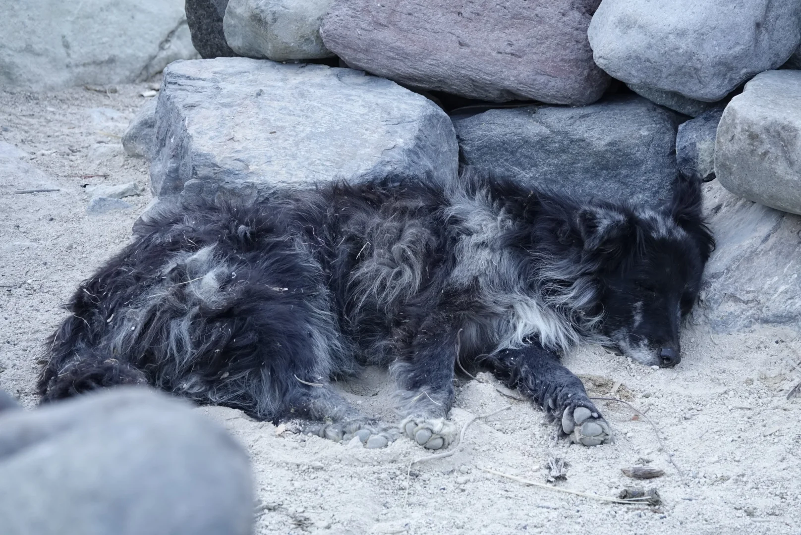
there was a sick dog here, too sick to lift his head up but he was so happy to be petted and really enjoyed a generous portion of food. Hopefully that will last him a while until he feels better.

there was on demand, near-boiling water as well
pooch was feeling better next day, well enough to lift his head and watch me go.


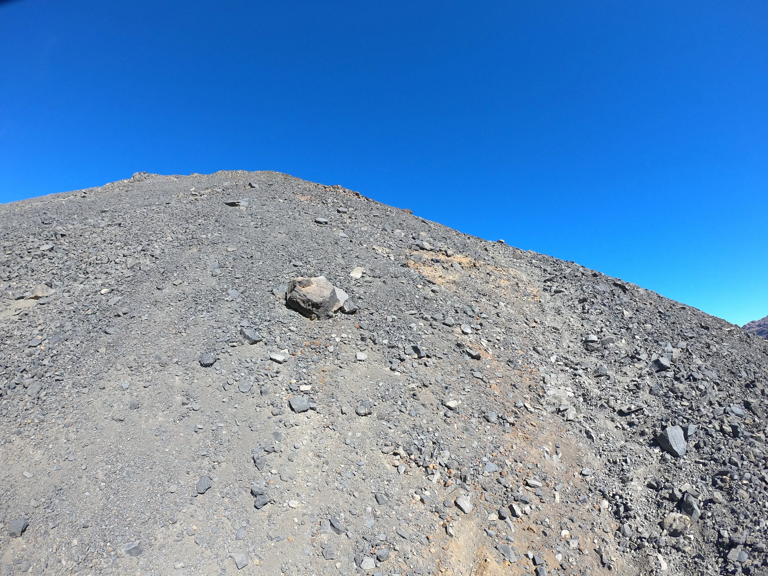
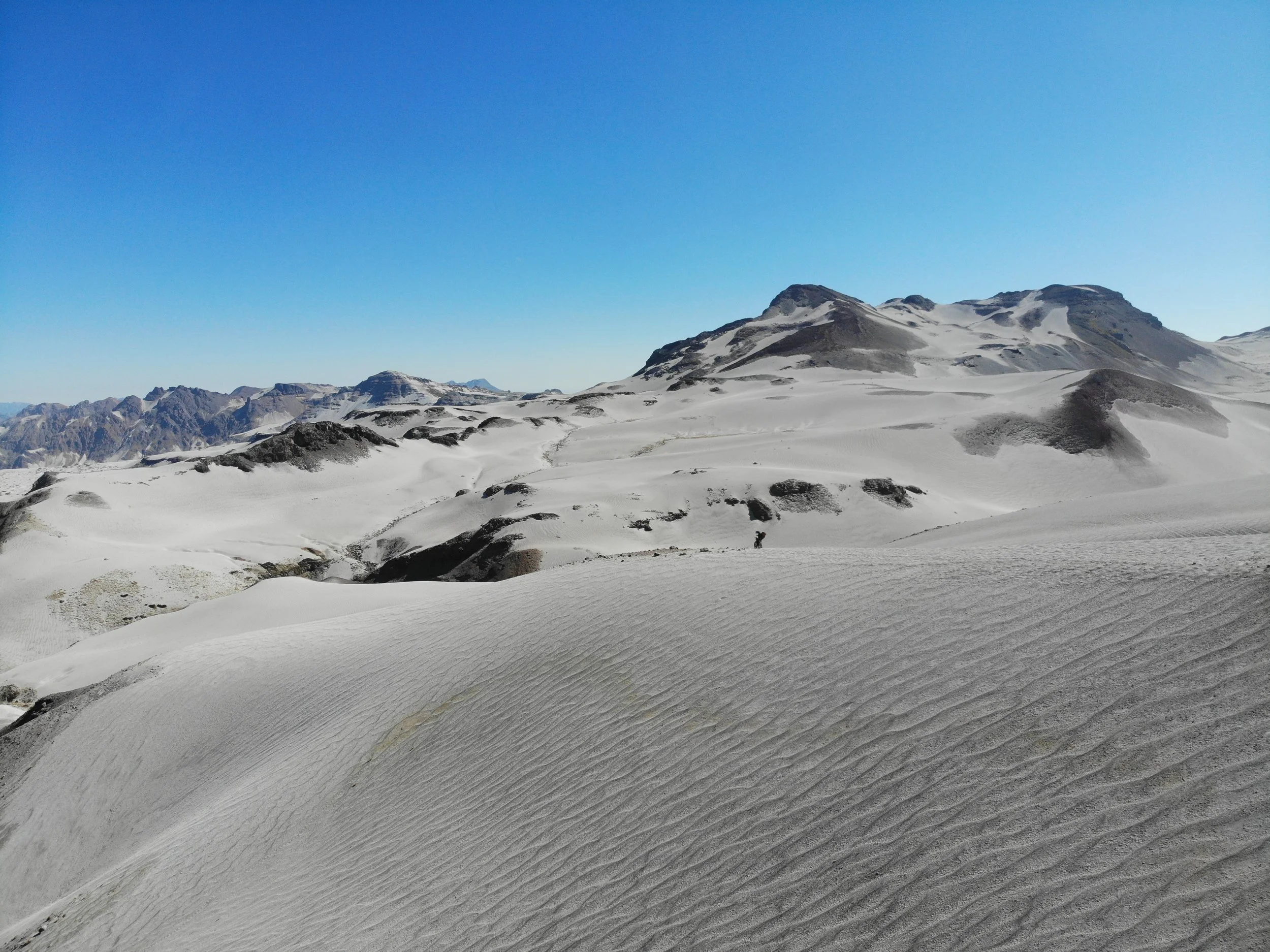
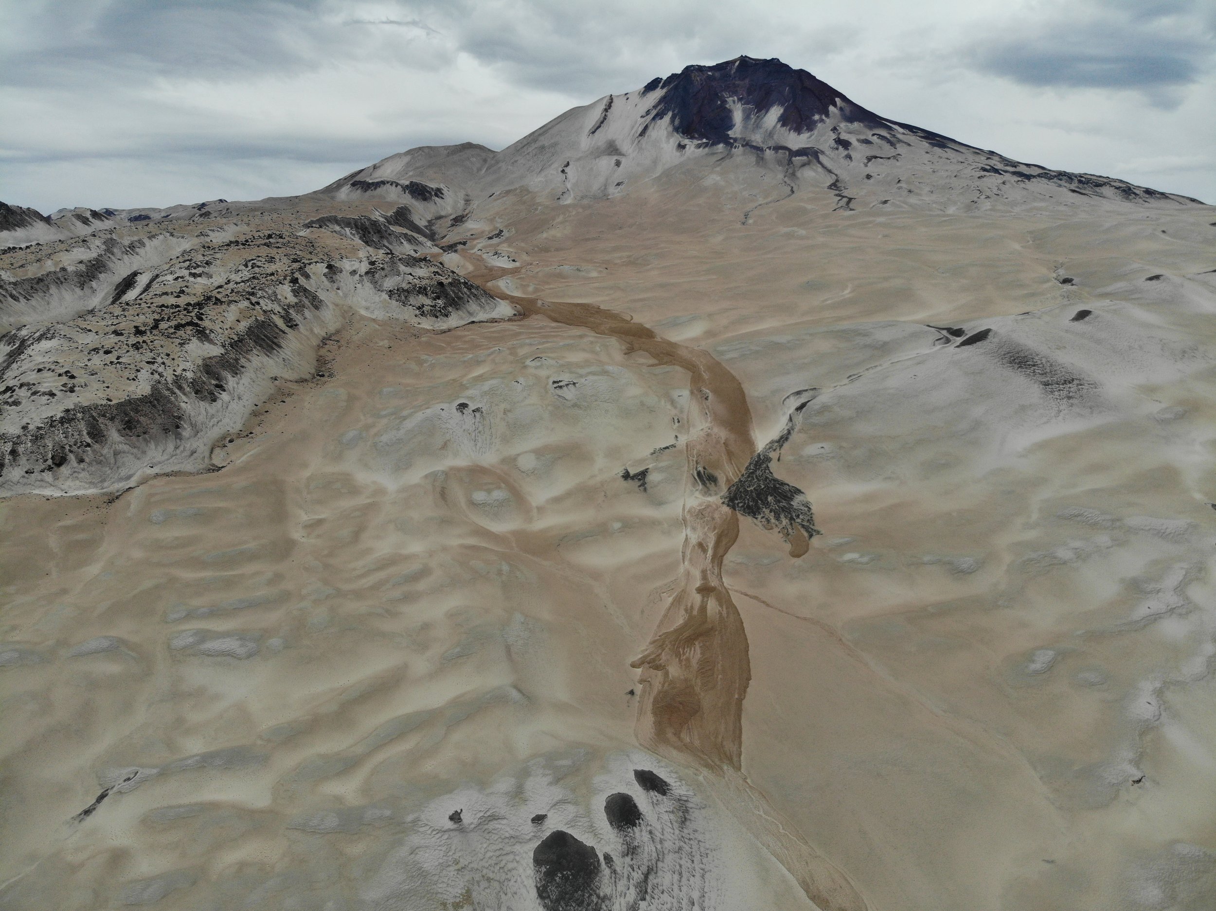
and if you think pushing your bike through sand is hard, add an incline to that and make it deep volcanic sand and tiny pebbles. You sink in and slide back when you step in it and again when you push the bike forward. Now, add an incline and the next 800m vertical are like that.
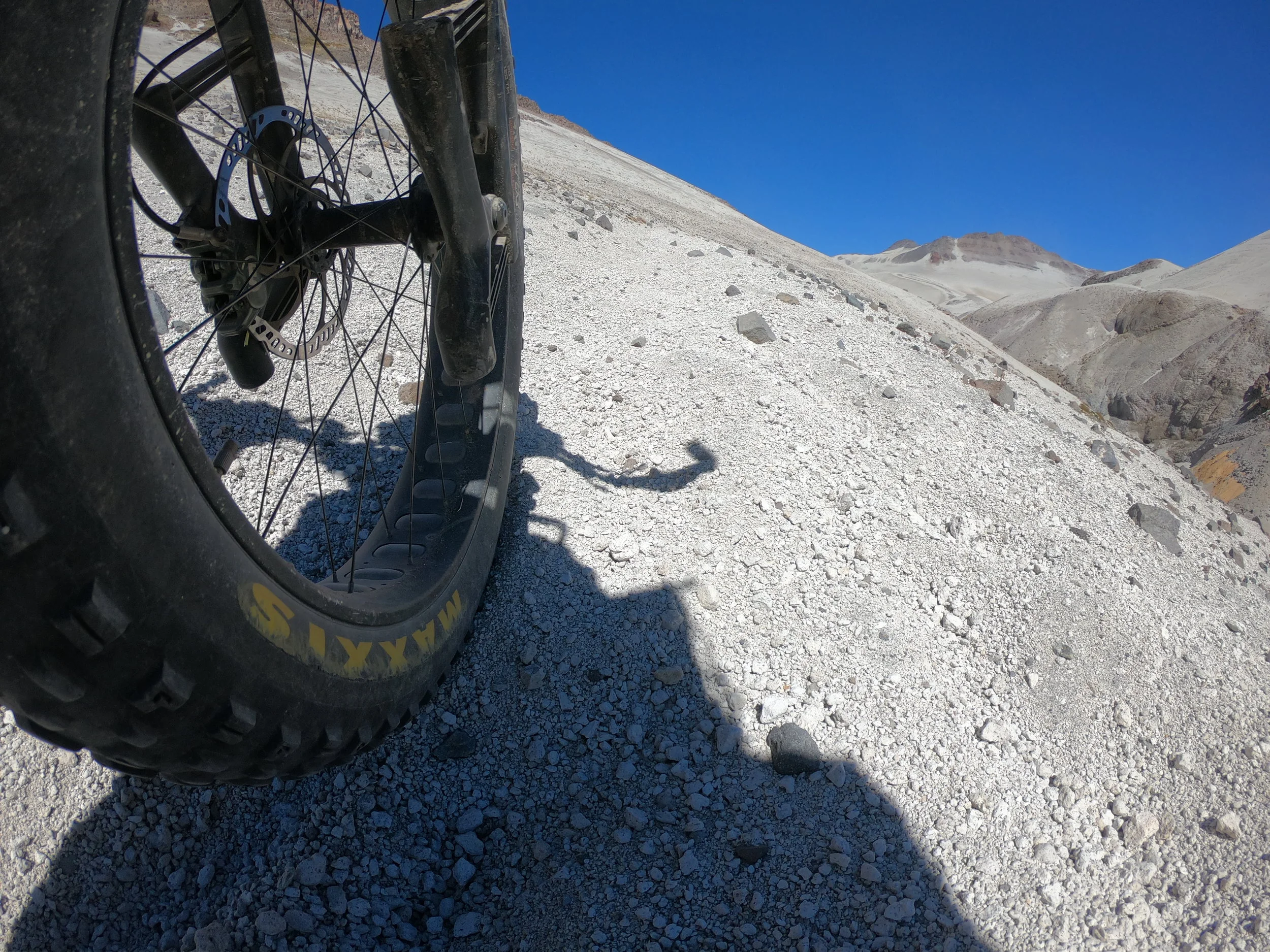

all in all, it was the easy way to get to the moon

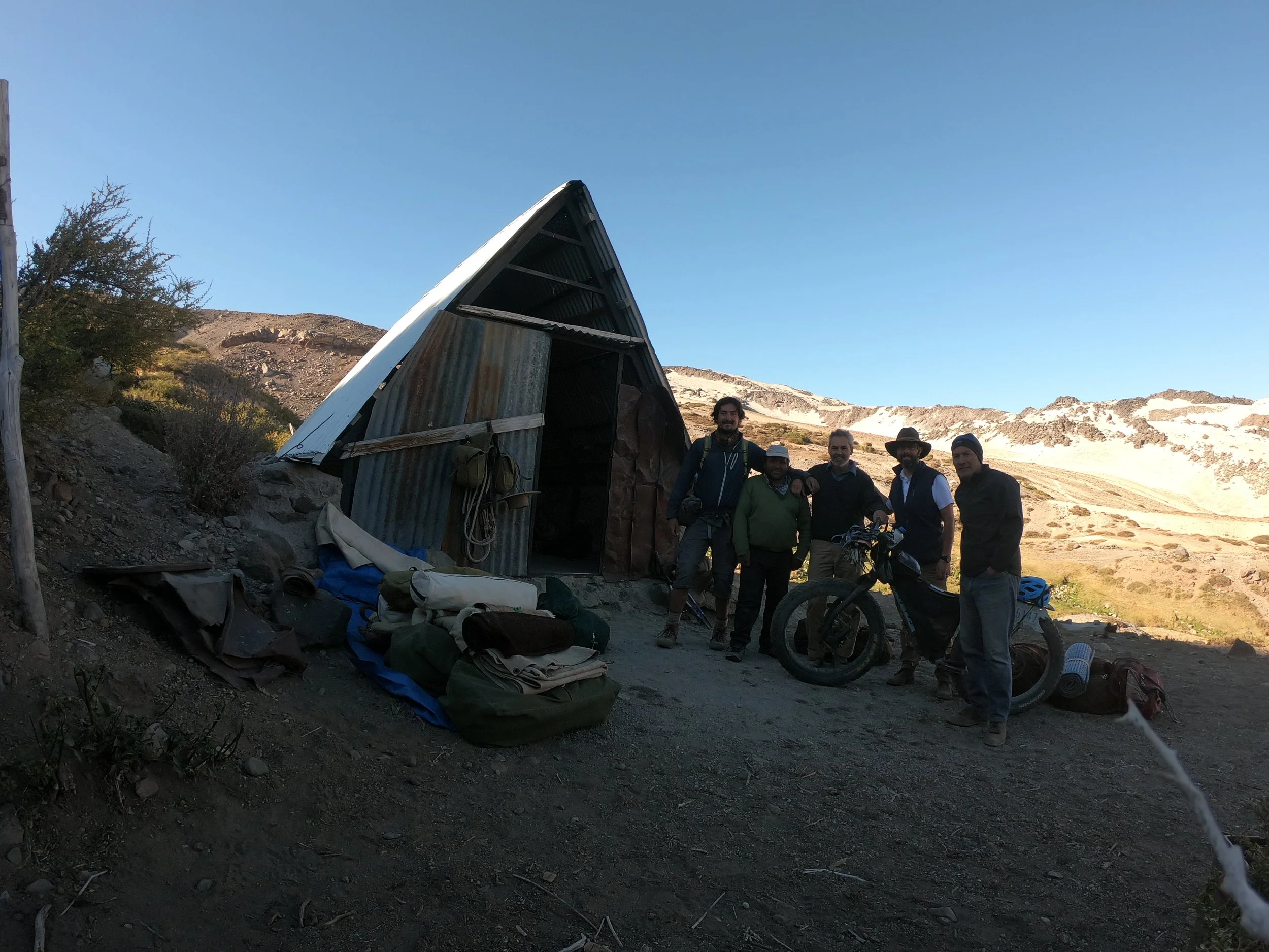
I descended down to a puesto, a basic hut and to my surprise I saw a group of people, they were surprised to see me too. They were from Santiago and traveling here for some days, climbing the volcano and returning tomorrow. One of them had a lot of experience in the mountains and I learned about a special bread - Tortilla de Rescoldo - keeps good longer and its very thick so it cant be crushed and it doesnt seem to crumble. They invited me for dunner and I had so many questions but all i could do was watch the fire, i was so tired. The great sand climb and the descend were just too much.
I left them in the morning as they were packing the mules (mules are more stable for trails like these) for their 2day return out of here.
and where I go, it was beautiful, there is no question about it.
but this hike, so far rates #1 in physical difficulty. just… need to get a horse….

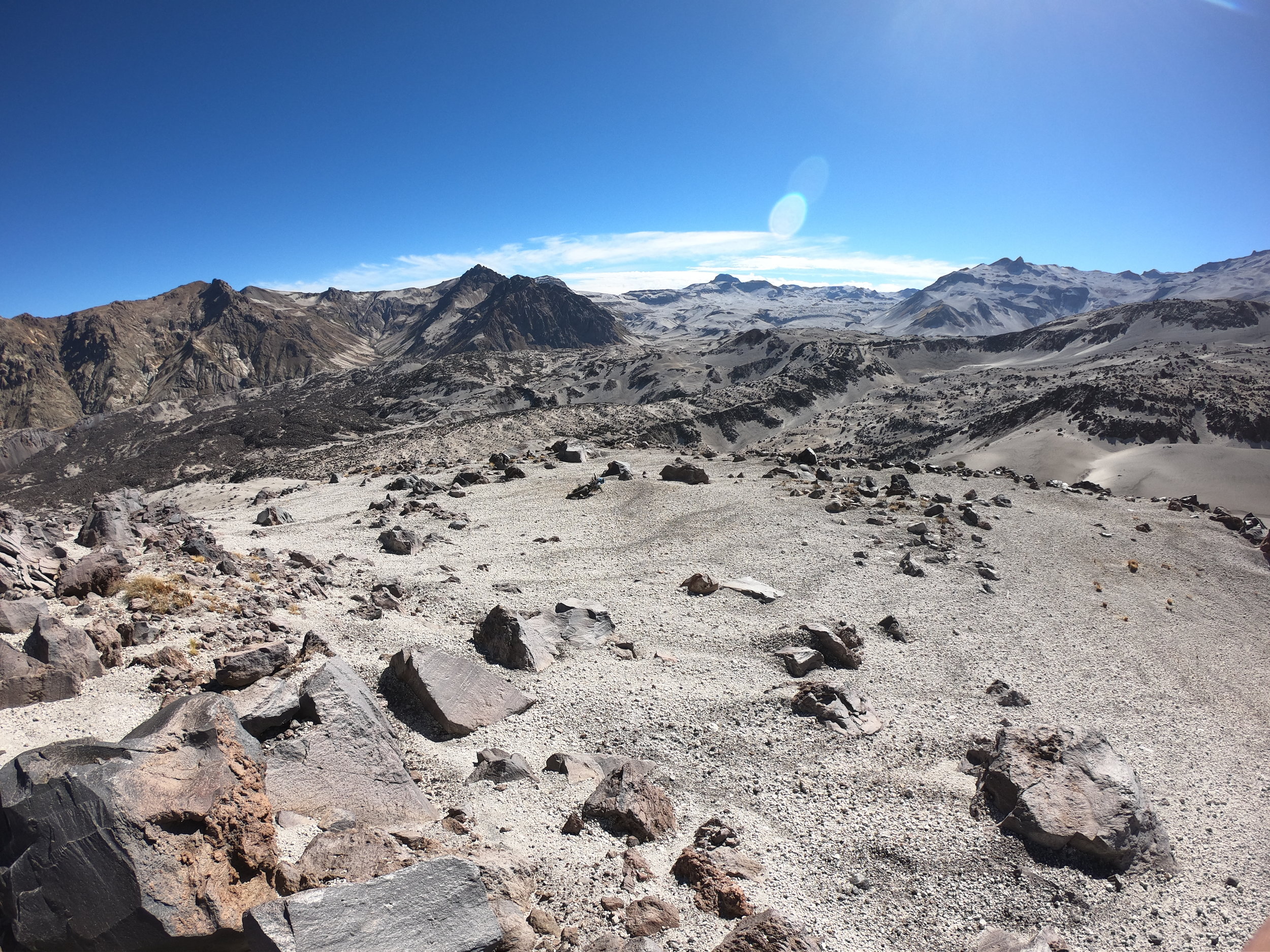
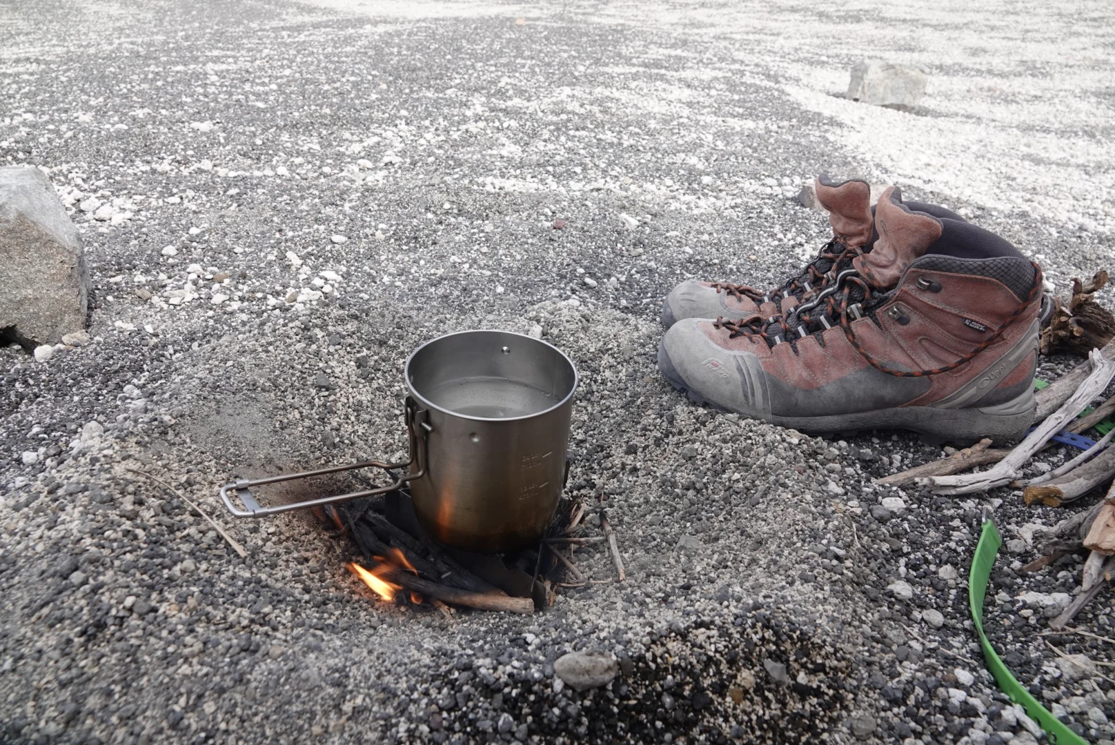
the Laguna Caracol was a great sight, i’ll set up camp, go for a swim, make my meal with firewood that I packed (no gas) and rest up for the last 2500m pass
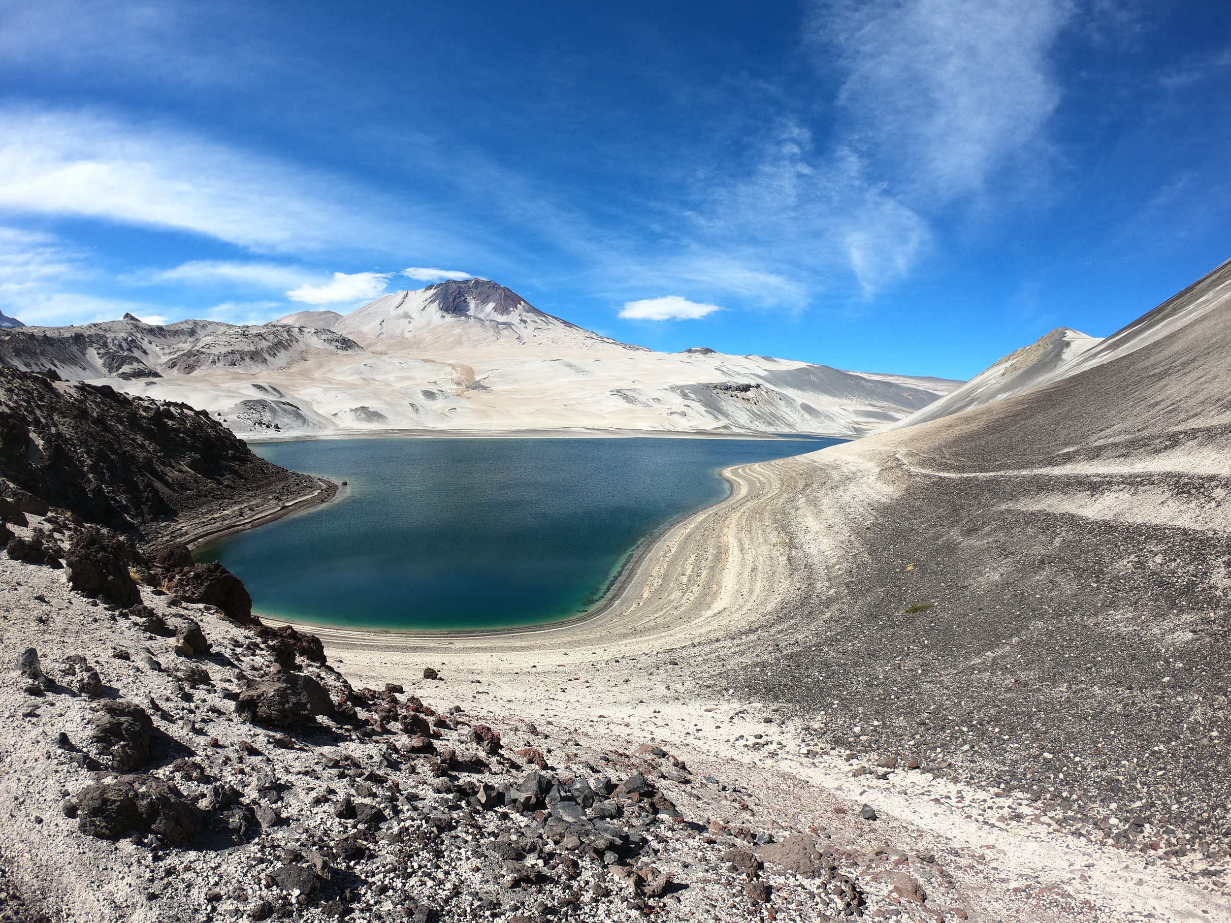
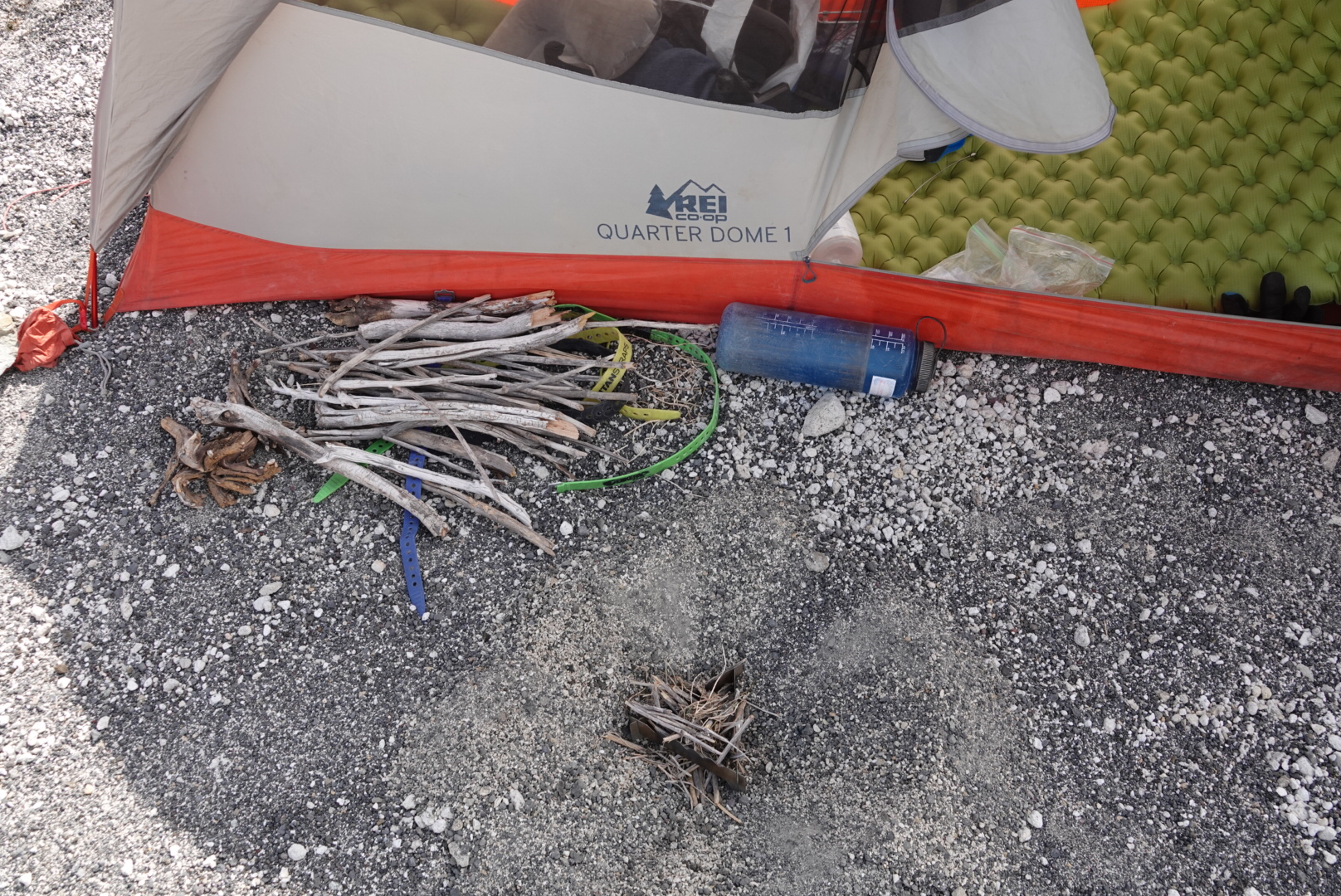
and some might say, you shouldnt have a fire so close to your tent, like if i would put the fly out this would be inside the tent. but i am too far away from everything to care.
i just get to watch the world spinning round, like some machine and the ducks swimming in the lake and the sunset burn the distant volcanoes.


DAY 12
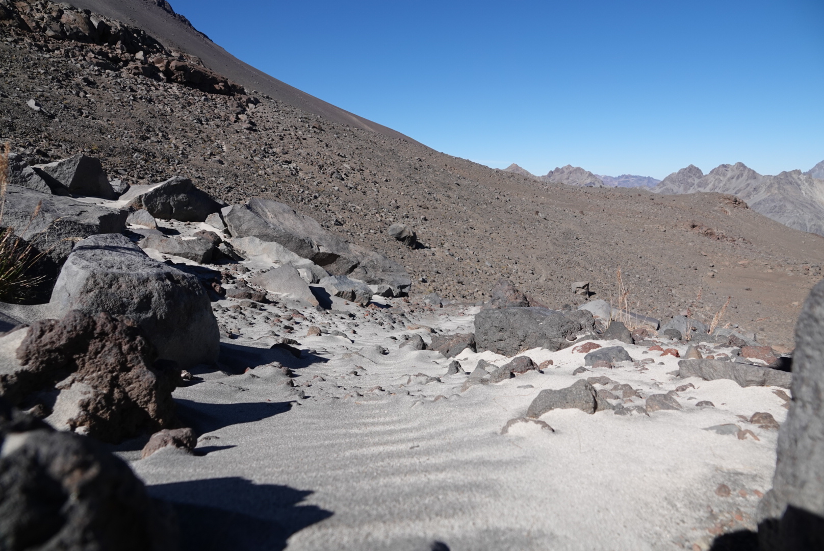
one more climb in the sand is left but the first few kilometers were rideable

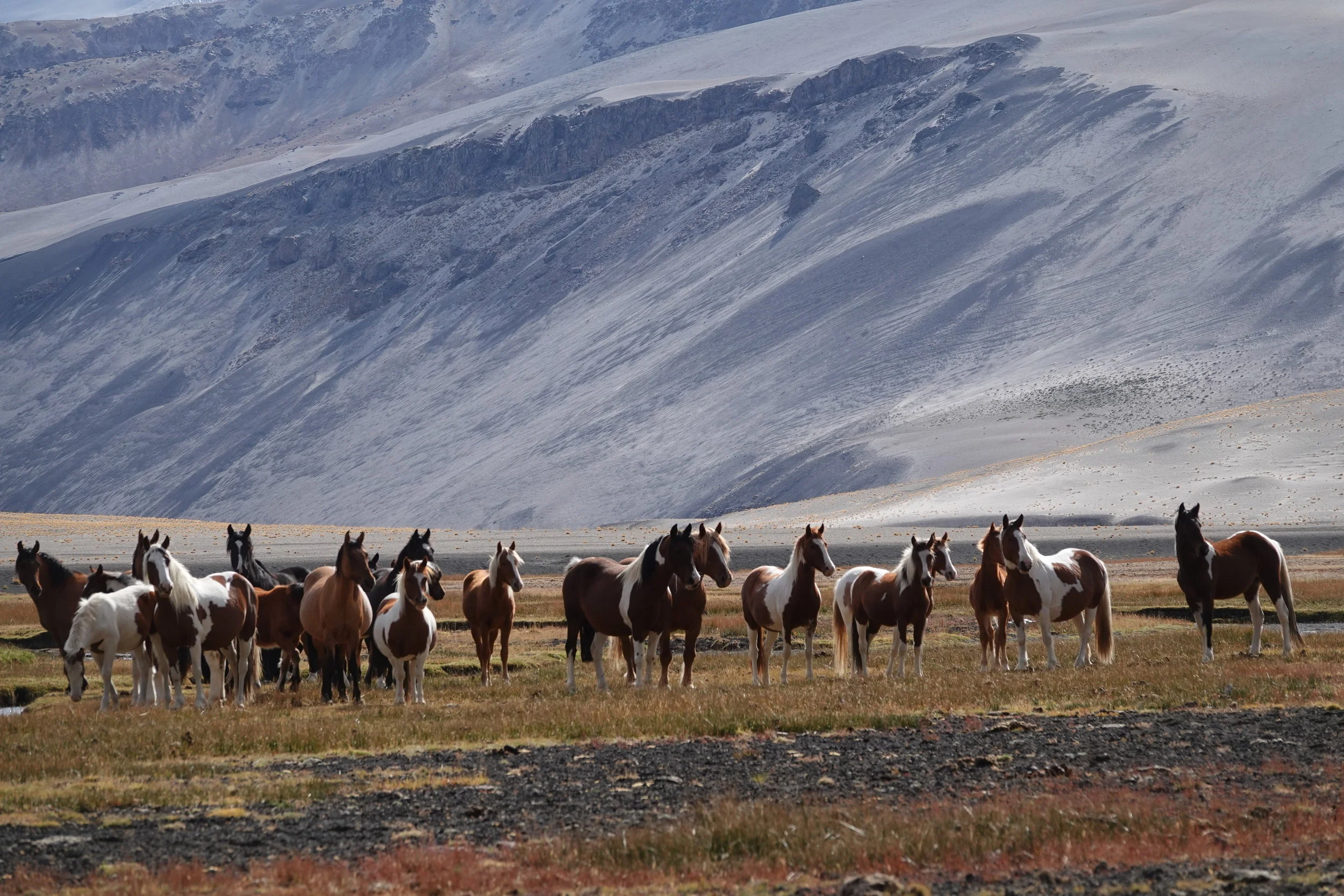
i saw these well fed horses, i doubt they could be wild but they had strong herd behaviour - gathering together and even waiting for the last 3 horses to run back to the group before running away from me

sand intermission.
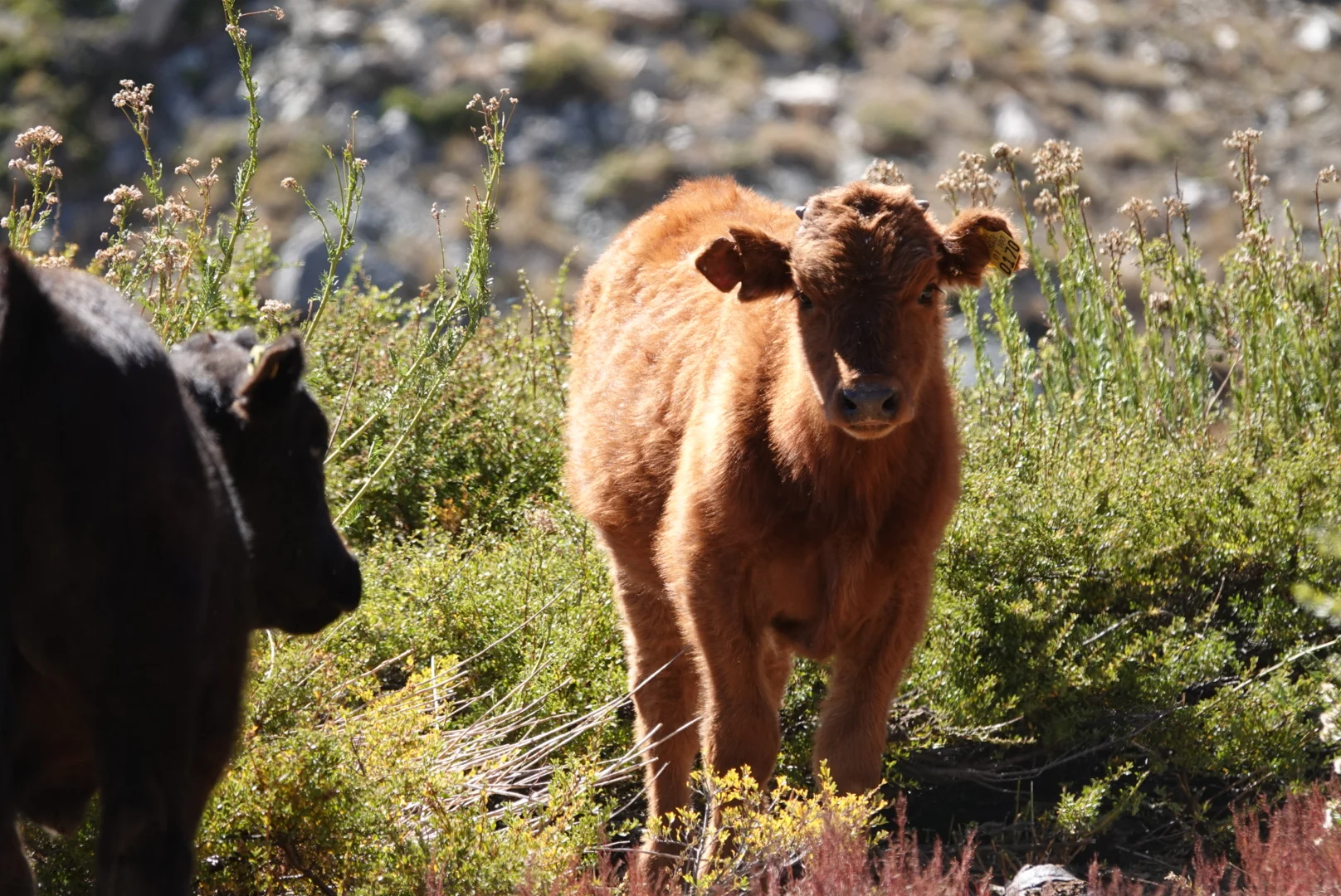
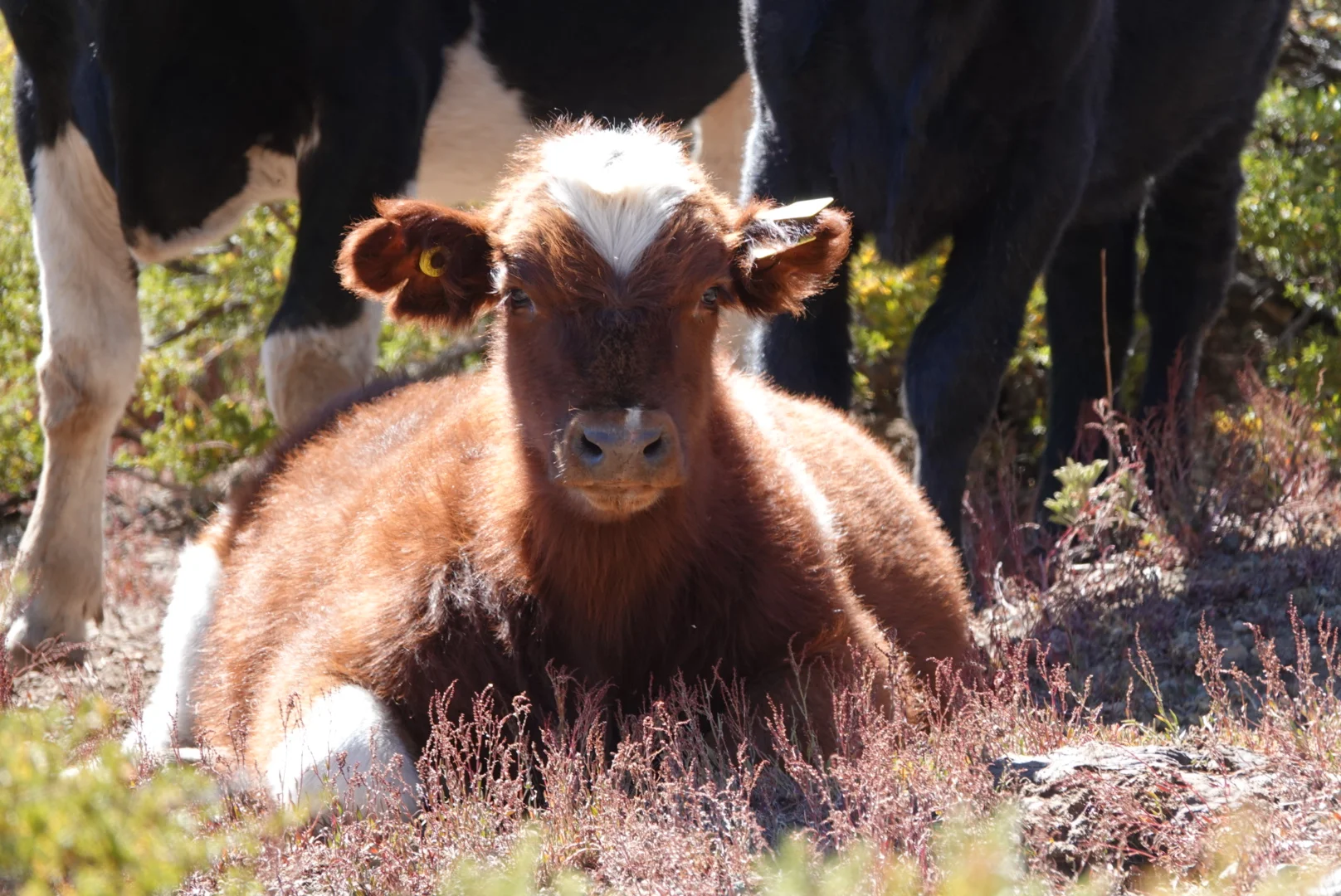
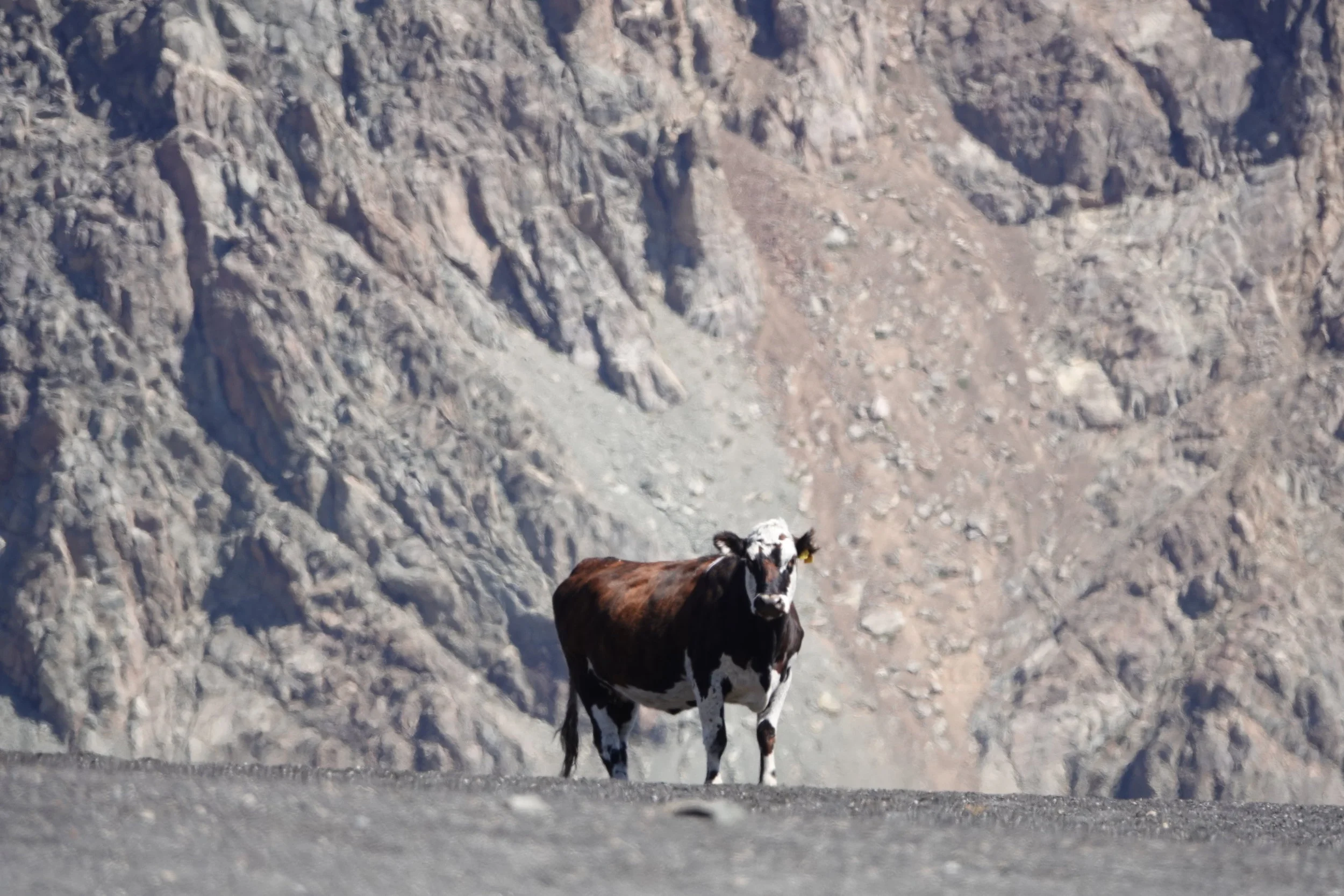
cows chilling at a pass
the good thing about the sand is that it is rideable, bumpy but rideable. The 2500-1200m descend was mostly on the bike and fairly quick, that meant I may make it to good food this same day!

I rode down the road, property of some dam company to the end where a security guard took my passport info for the books and I was off on the paved road down to civilization
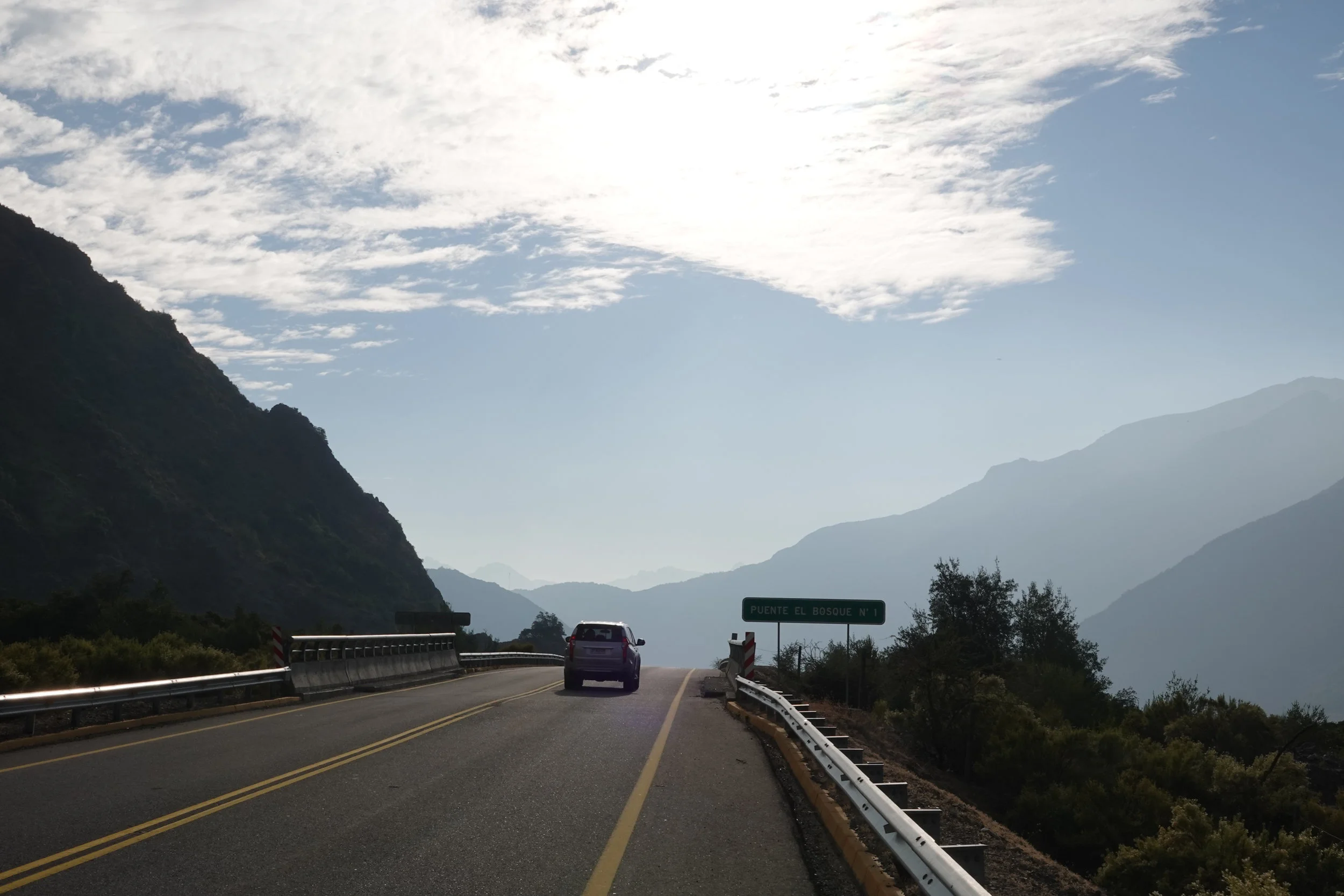
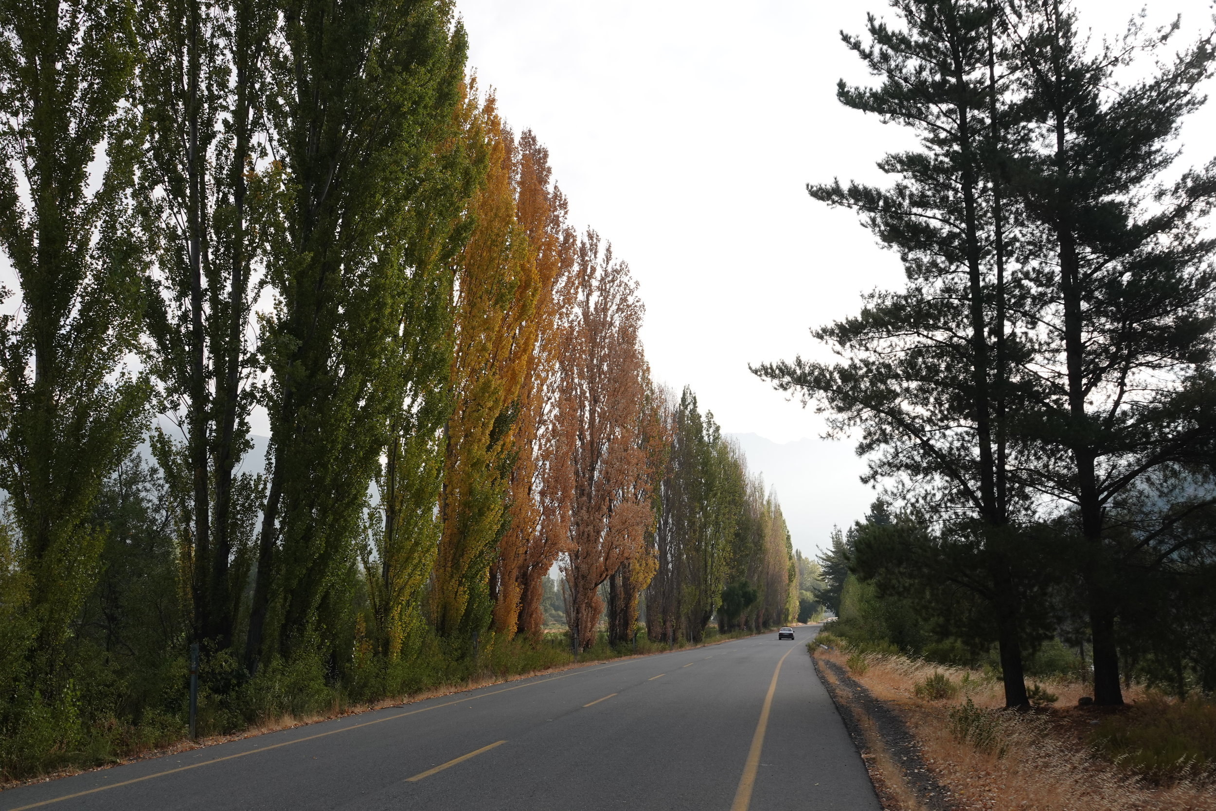
I made a note to ride more roads when I can. They are not that bad.
but the window of being able to be deep in the mountains is closing within the next month and a half so it will be a fine balance… but maybe I can go to the coast to see the ocean or something before diving deep into the mountains again…
more or less following this route: http://www.wikiexplora.com/Traves%C3%ADa_de_los_Volcanes