
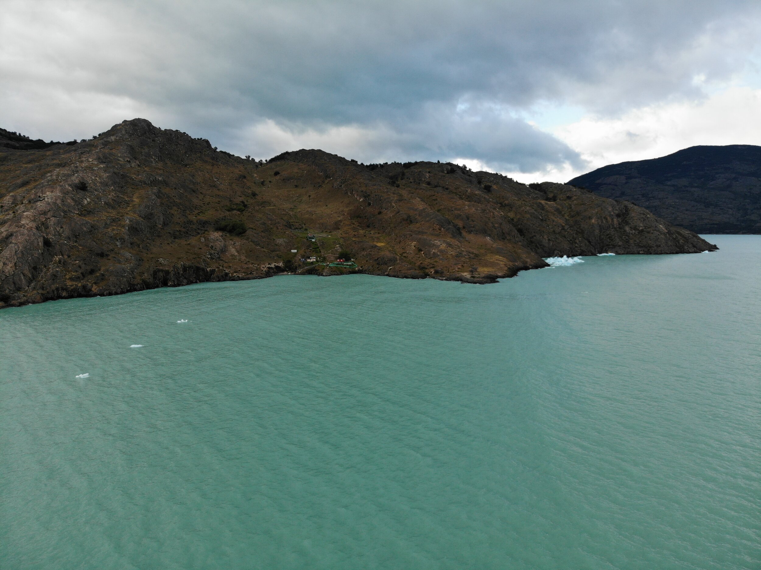
9pm Lake O’Higgins. The winds finally stop even if just for a little and I can’t not take the chance to paddle over to the island. My plan was to go 5am in the morning but who knows how the winds will be then.
Watching the sunset to the south is amazing and I think that I will be able to make it down there, after all this time in Lake O’Higgins it would be a shame if i don’t see the big glacier.


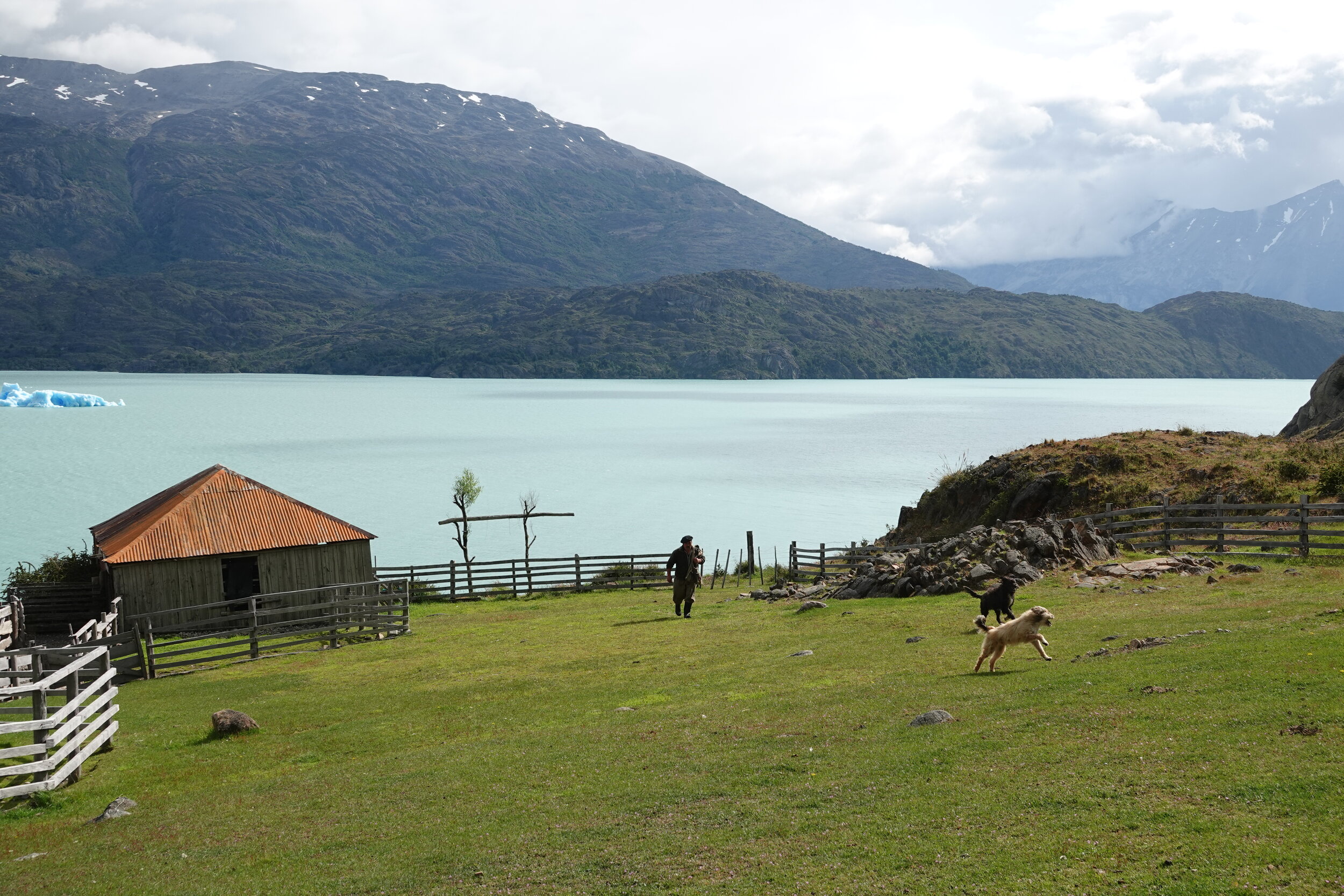
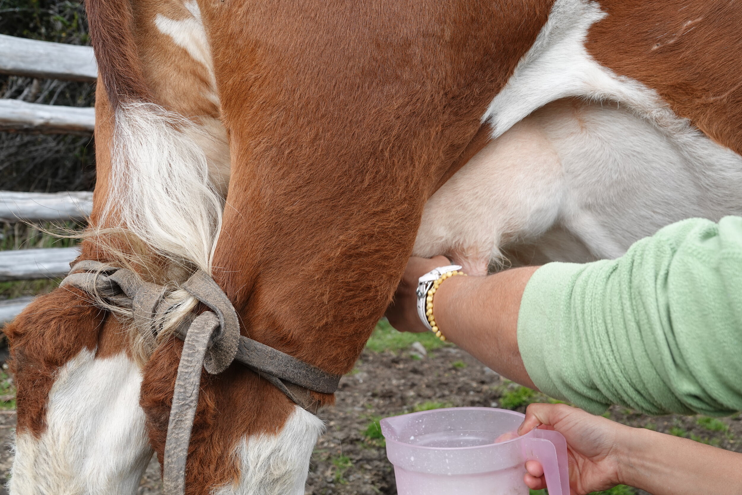
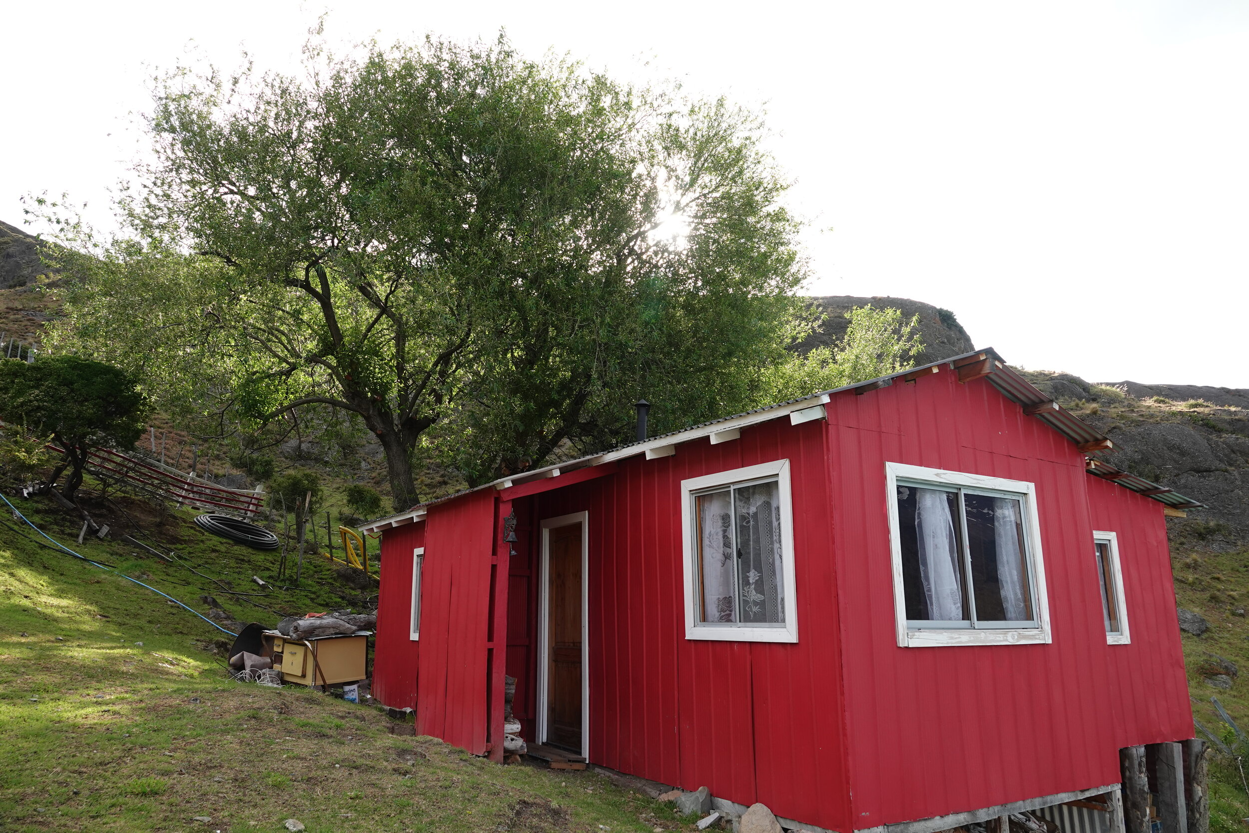
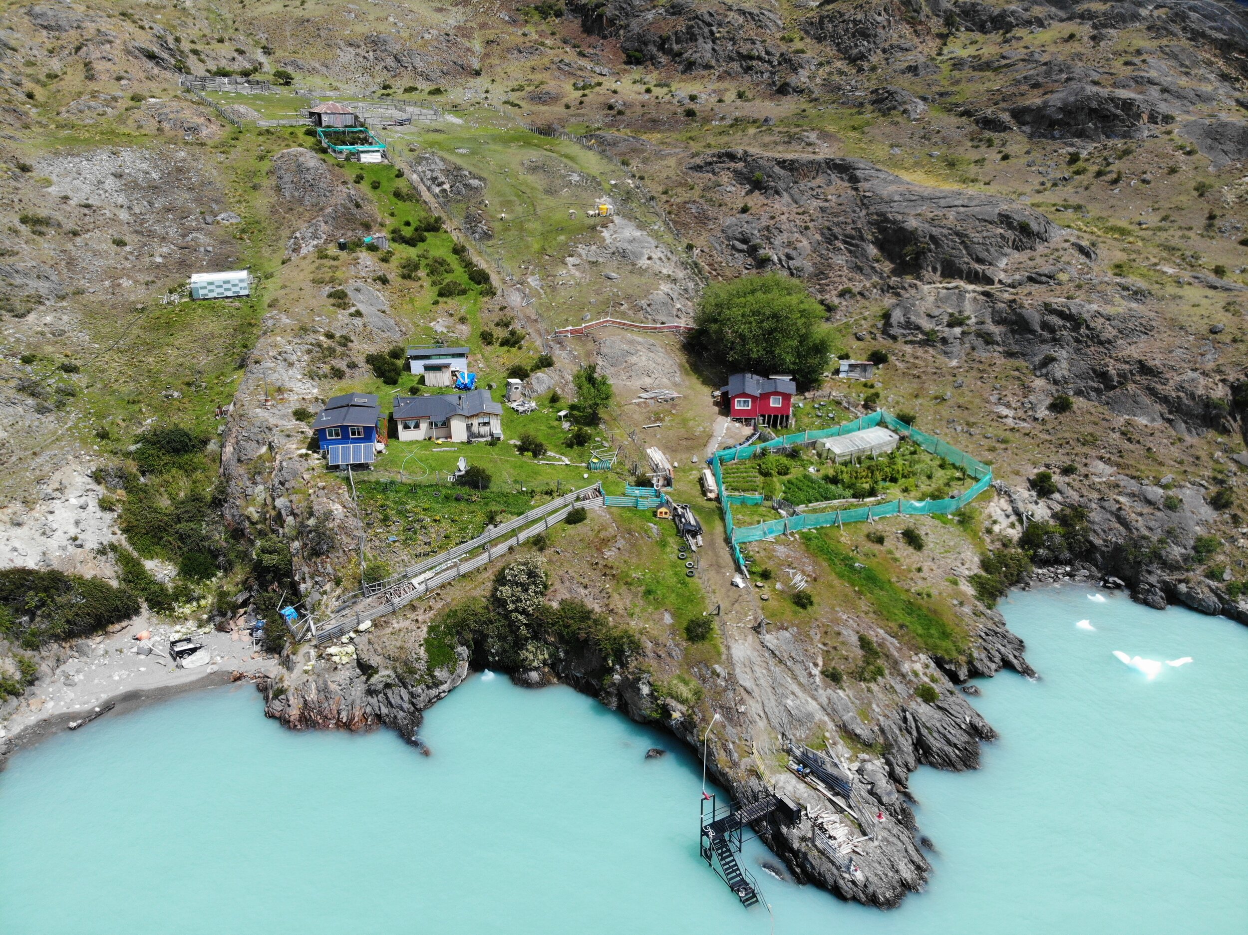
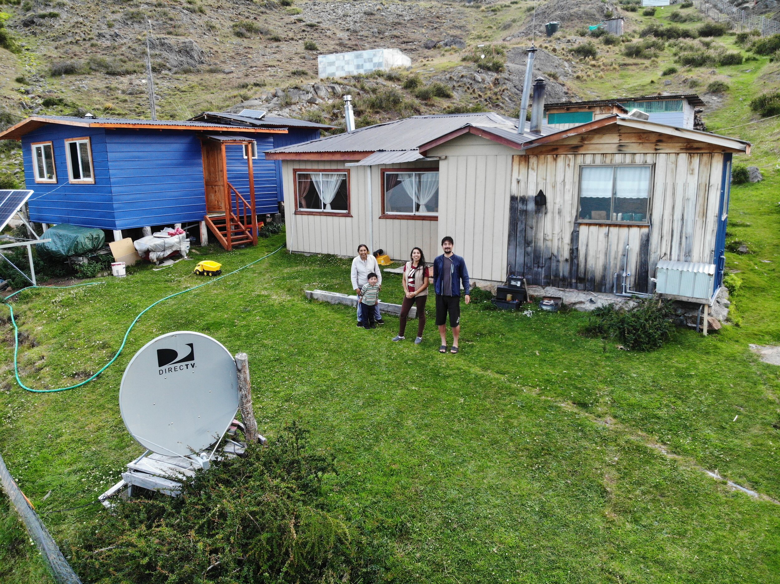
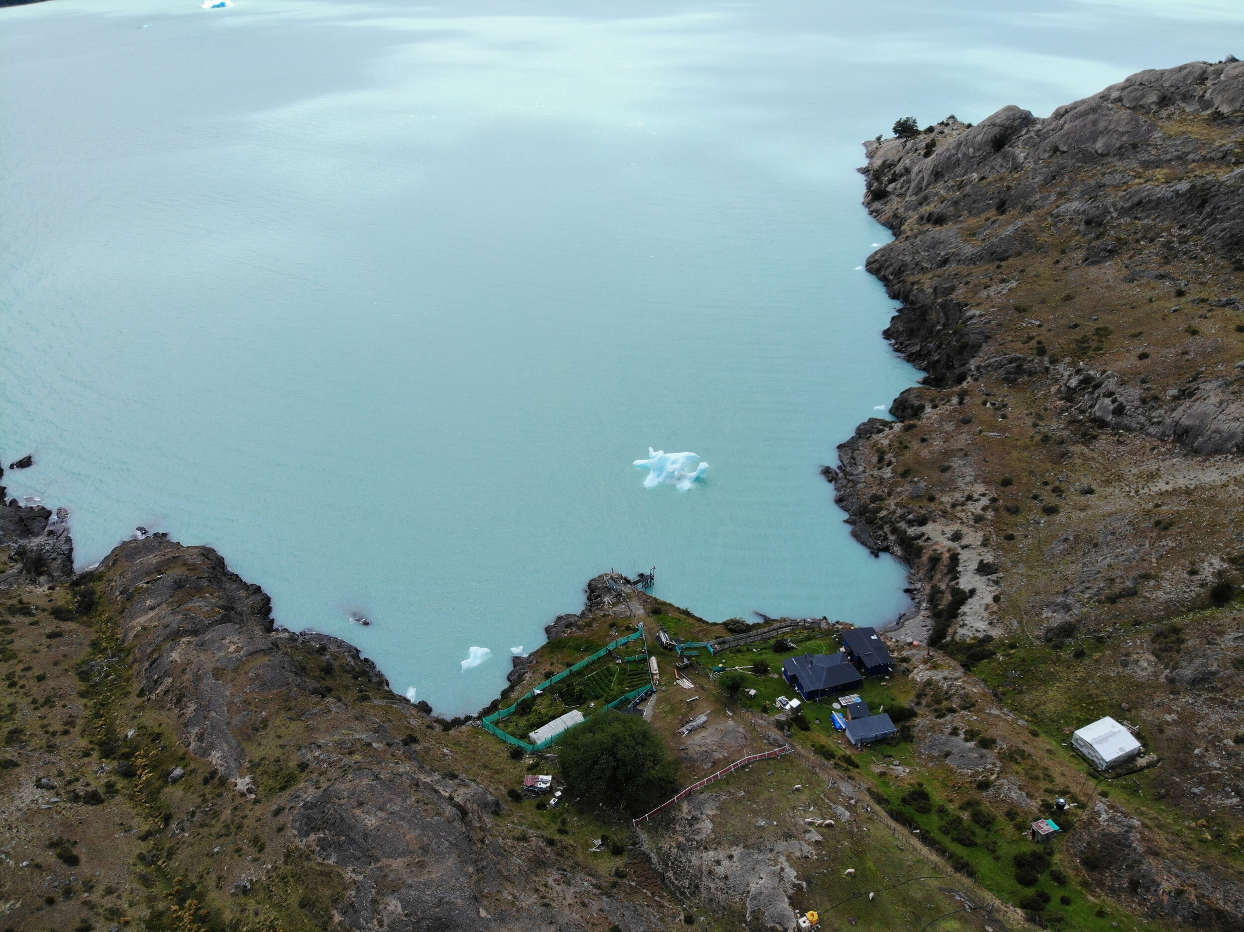
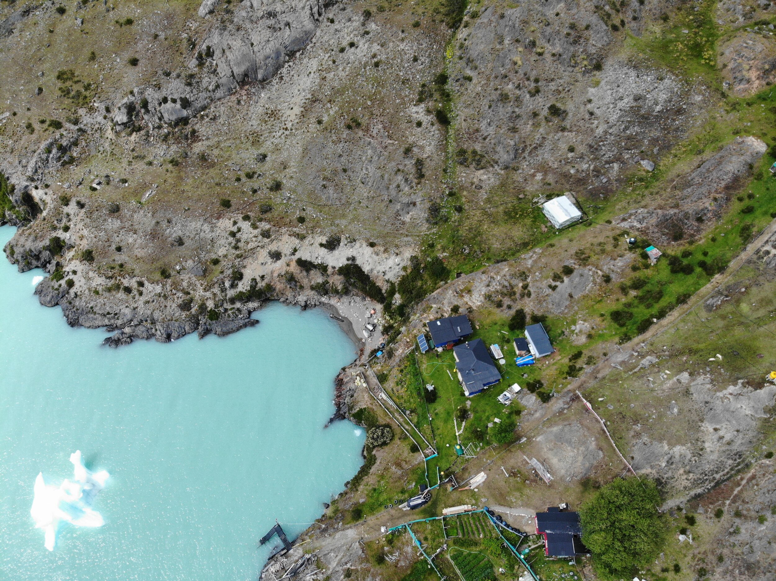
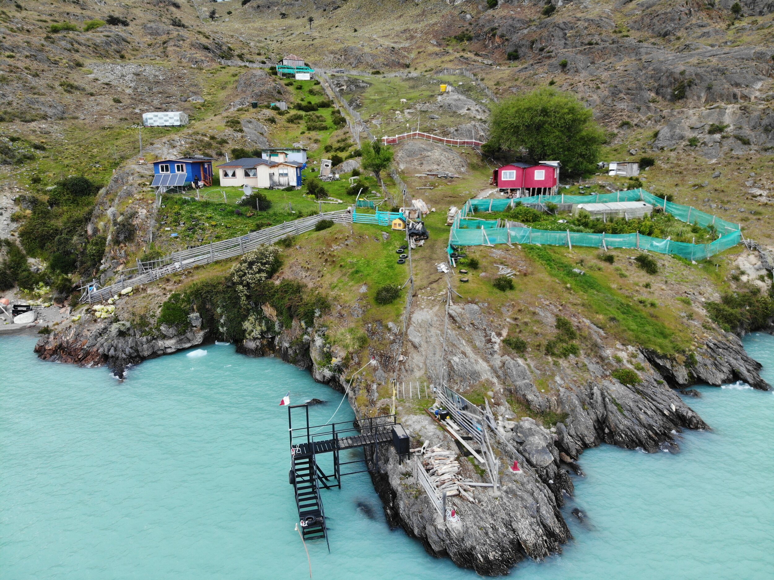
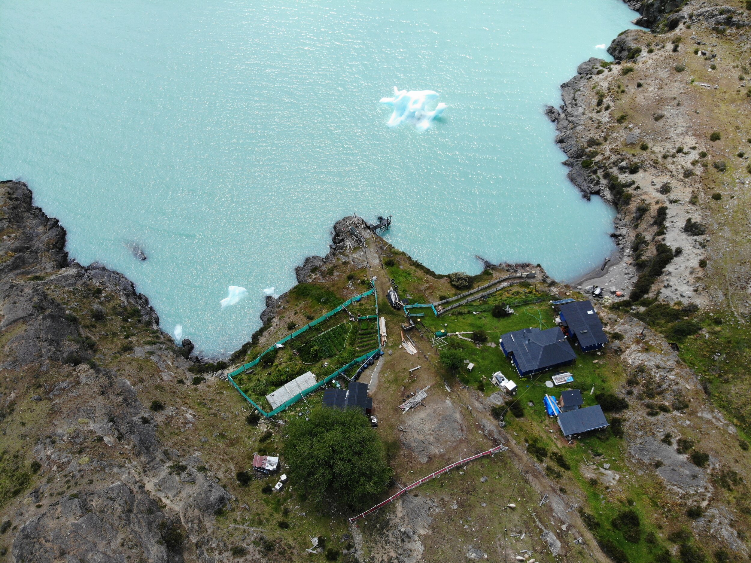
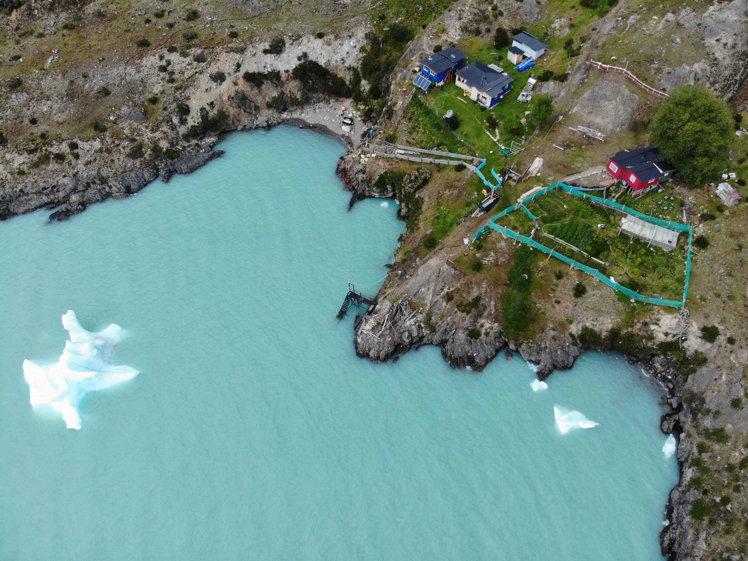
it was just past 10pm when I reached the island and the estancia there. Luckily I saw the inhabitants and they came down to the coast to greet me. They had heard about me on the radio from Don Chicho who was wondering where I was. They invite me for a second dinner and matte and set me up at a cabin and ask me if I’d like the wood stove going. I say no - I am just happy to be out of the wind and there is hot water!!!
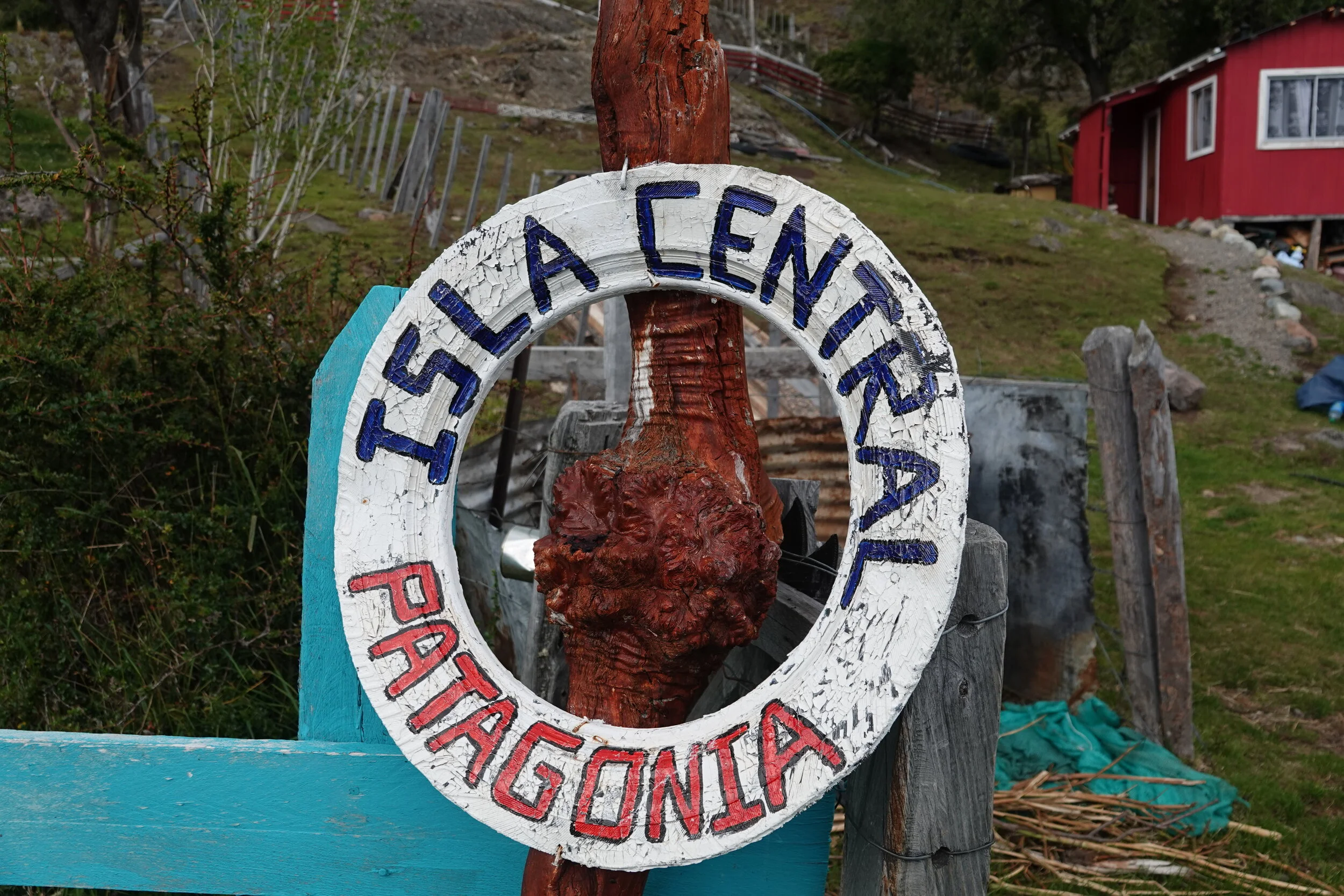
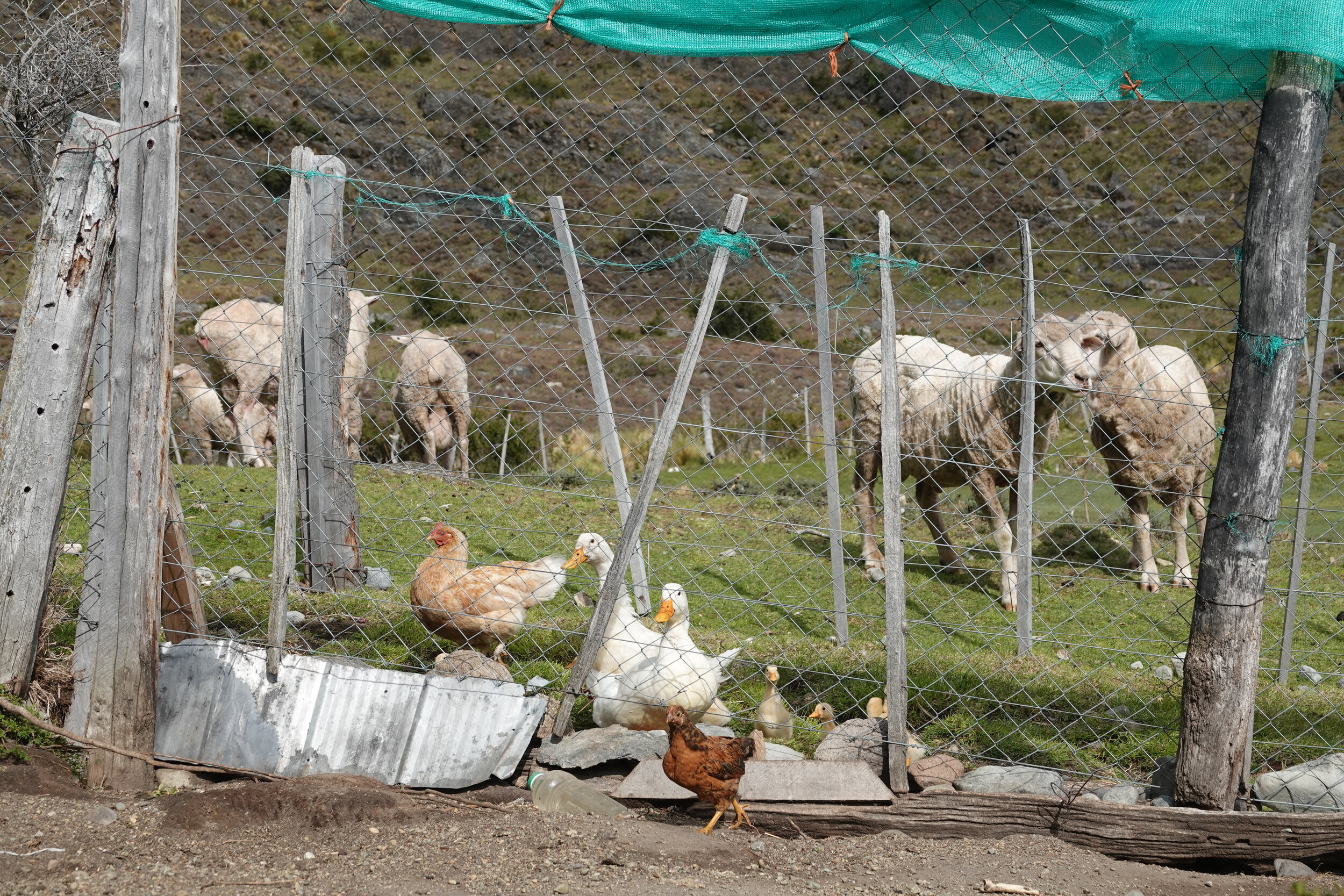
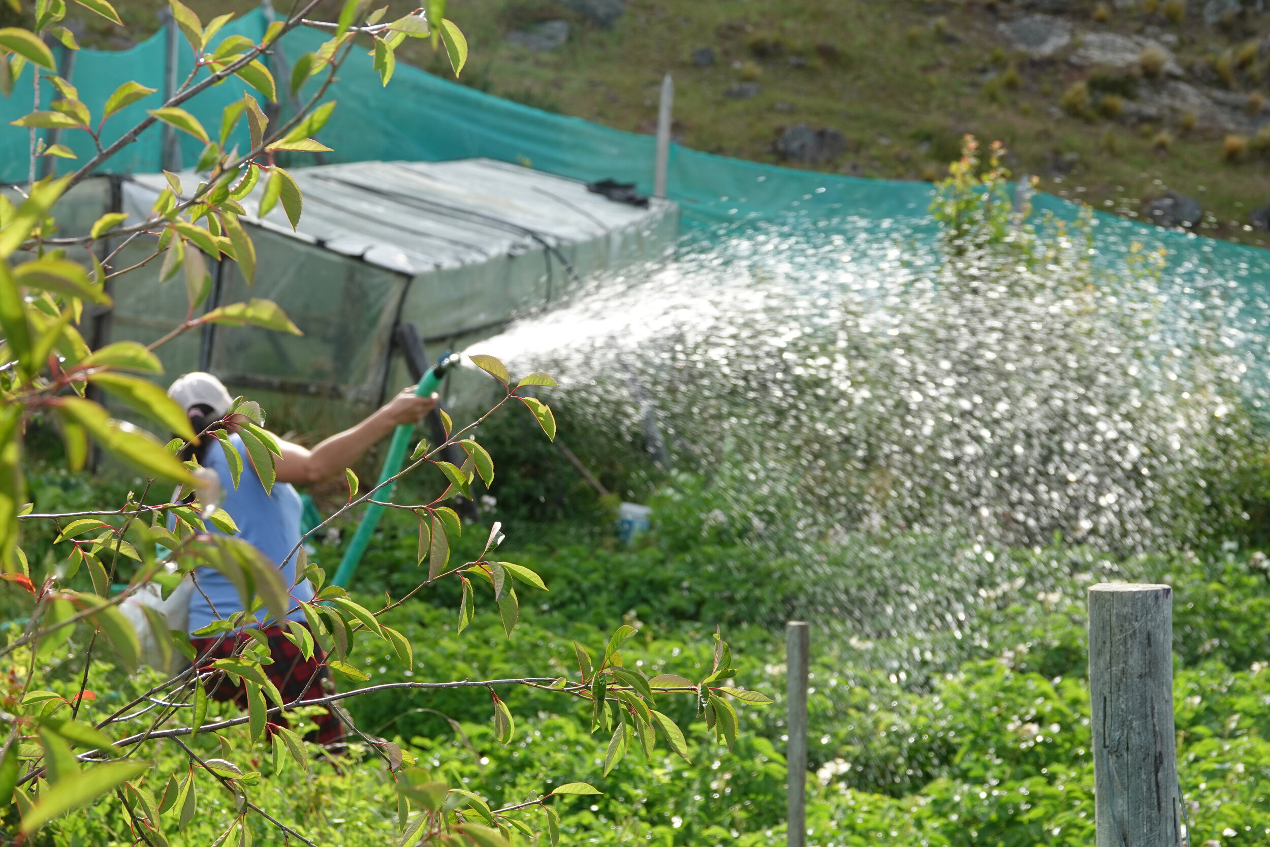
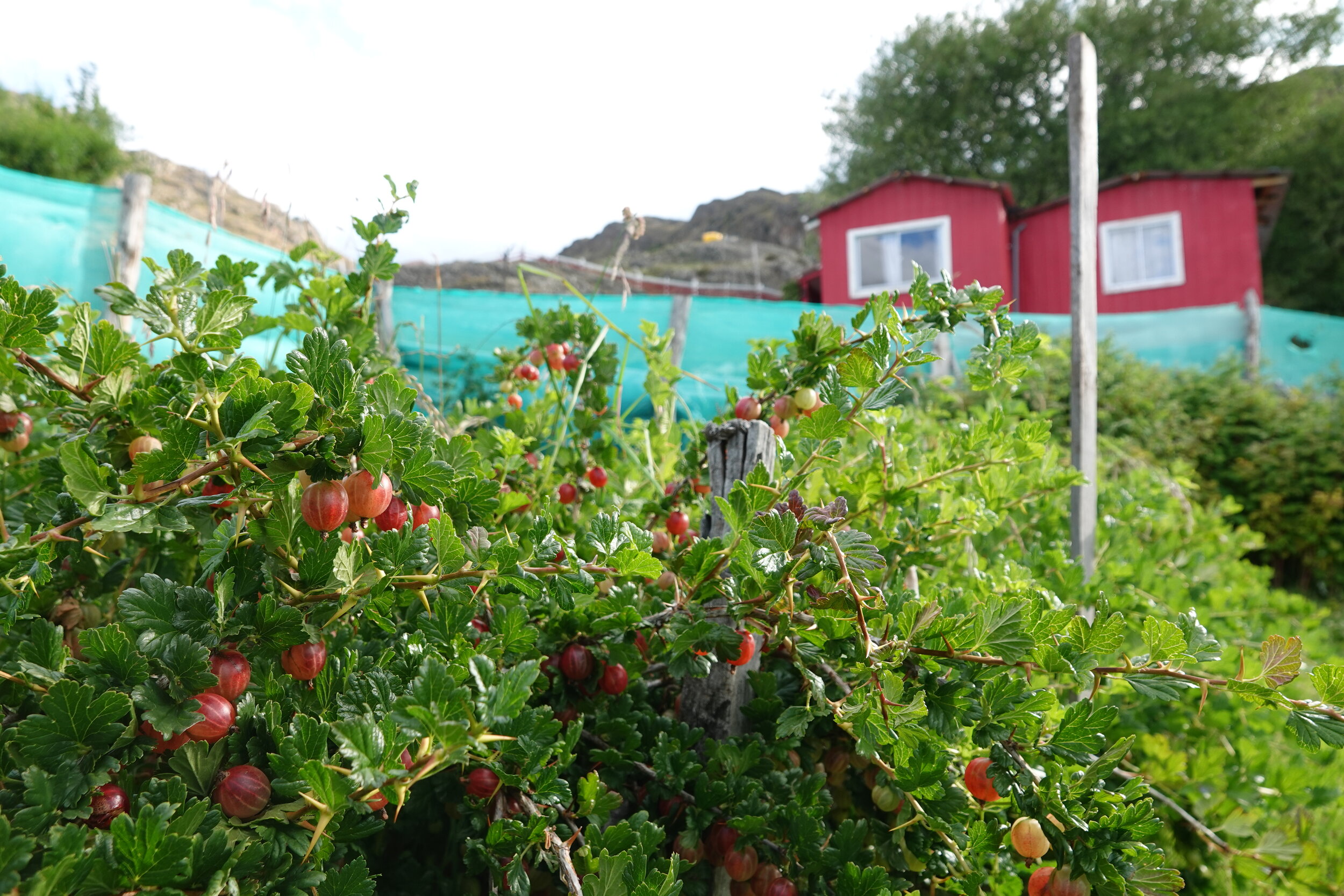
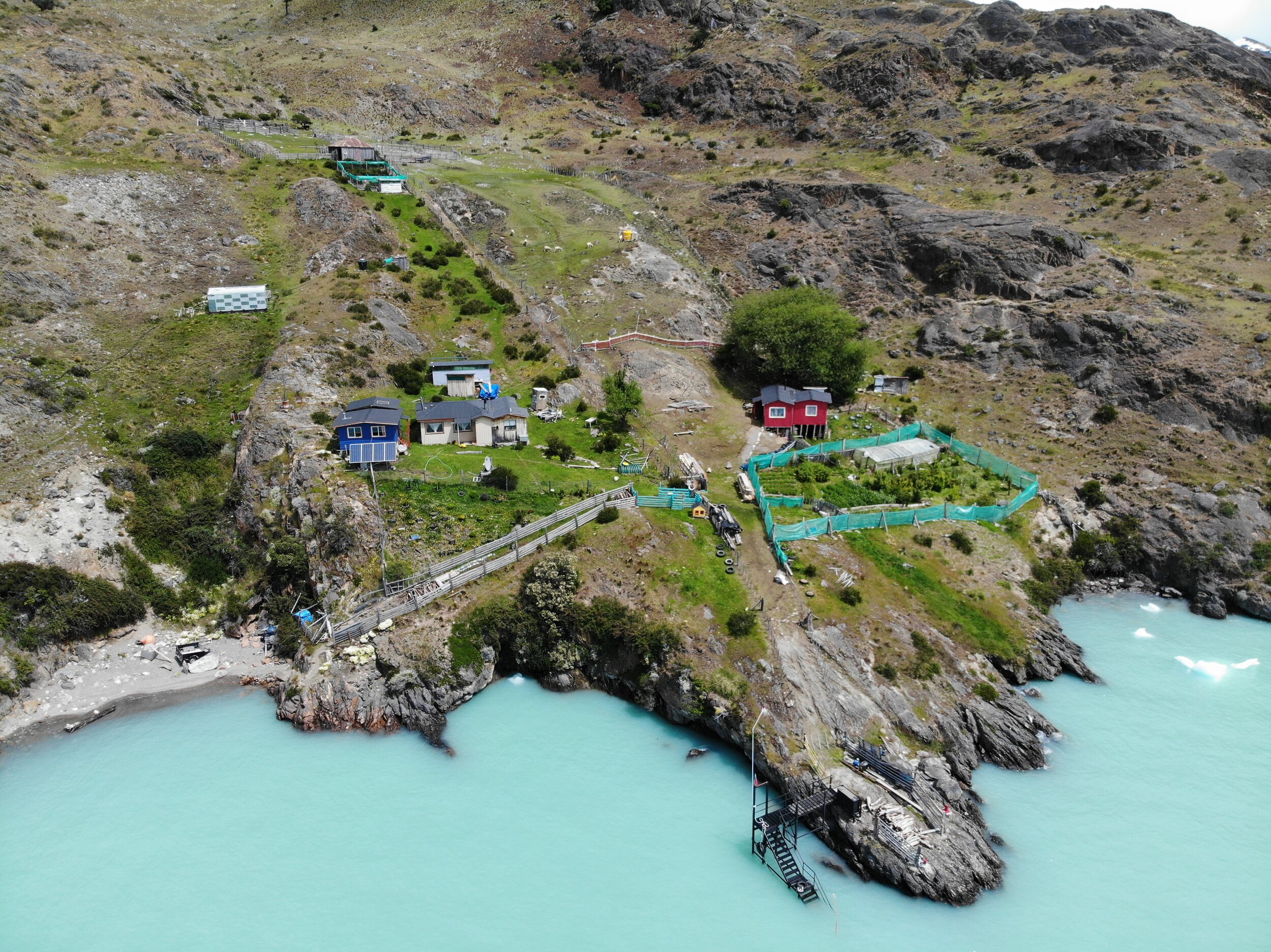
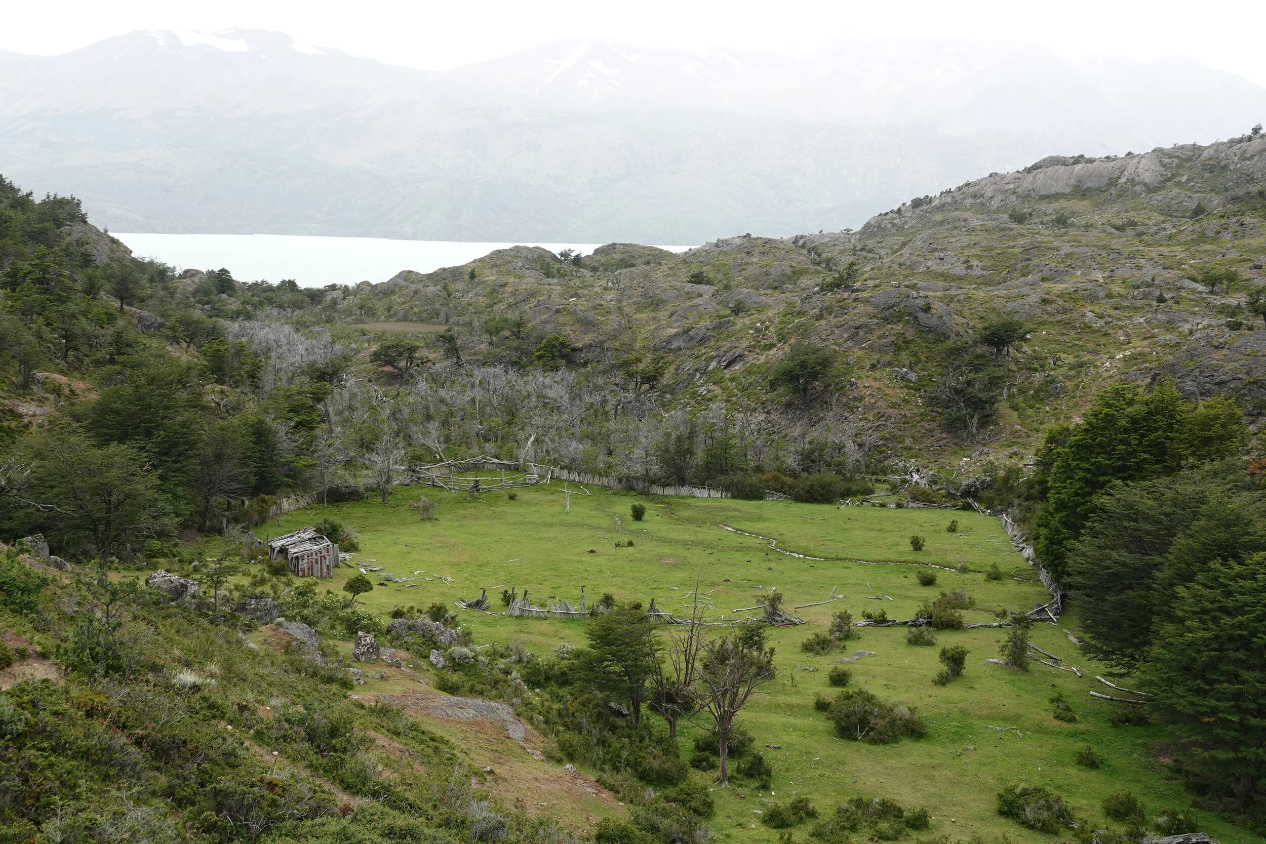
In the morning I learn from Andrea, Susana and Maxxi that they have been working to create an eco tourism destination here in the remote central island of the lake but are facing many difficulties along the way. So far they have had some government workers & researchers stay but hope to be ready to receive more visitors in few years.
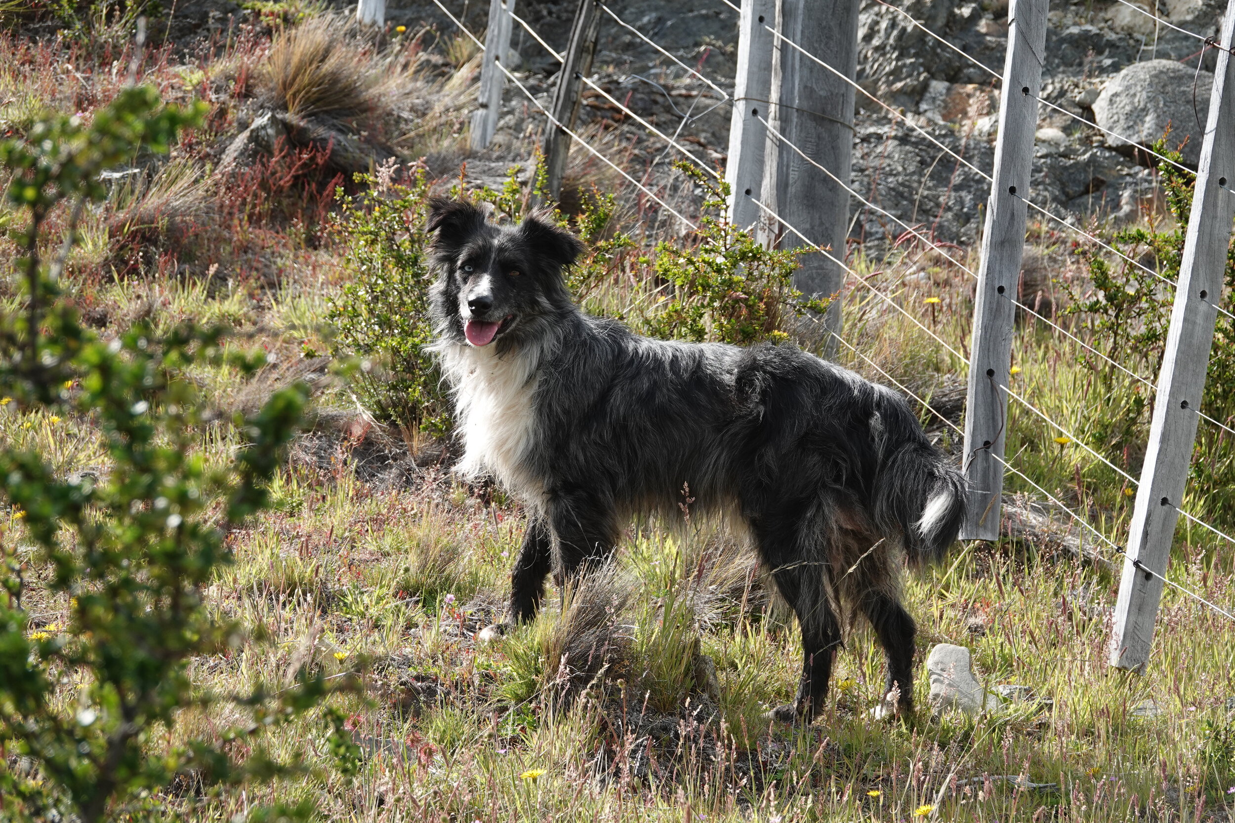
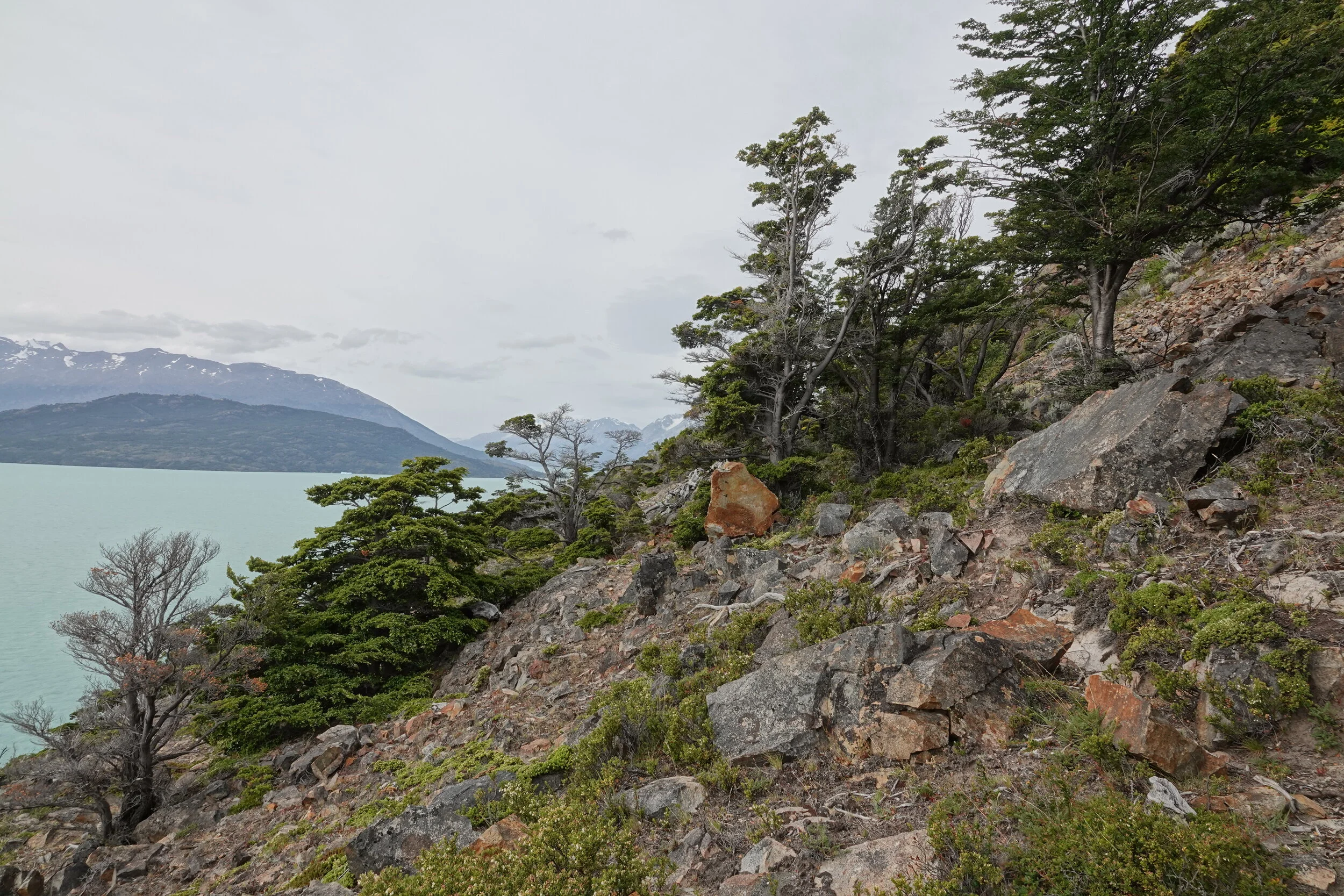
I take the day to climb the island and on the way I bring a radio with fresh batteries to Marcelo and his brother from nearby estancia who are building a fence here. They say that the next crossing is the worst and even the big boats offering tours of the glacier cross north of the island instead of heading directly to the south arms.

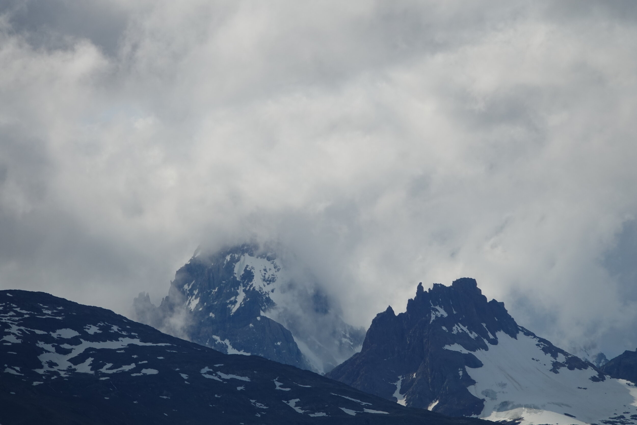
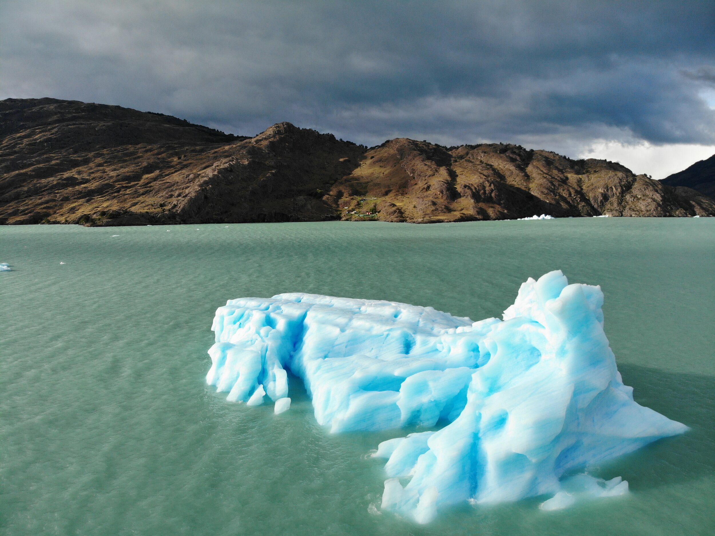
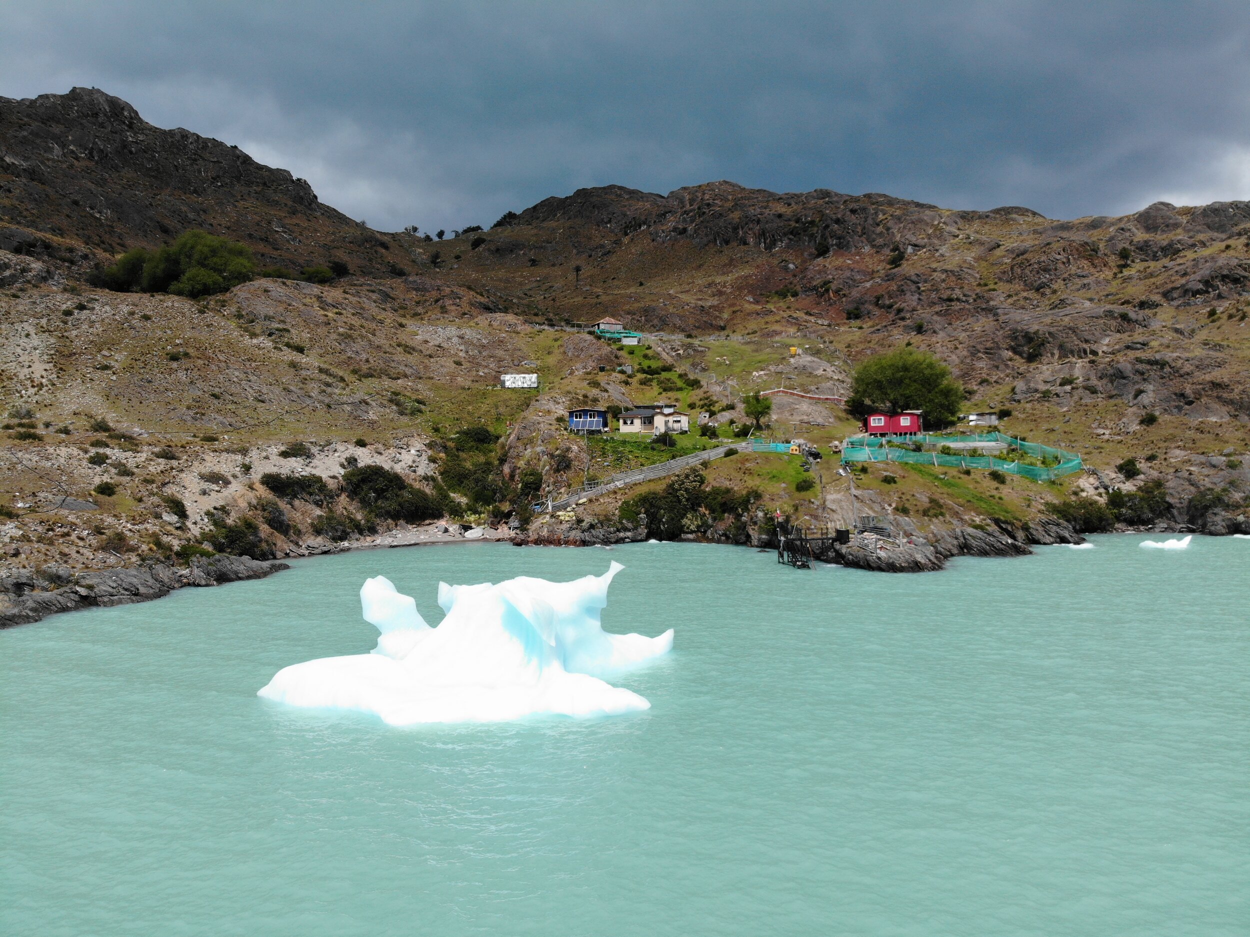
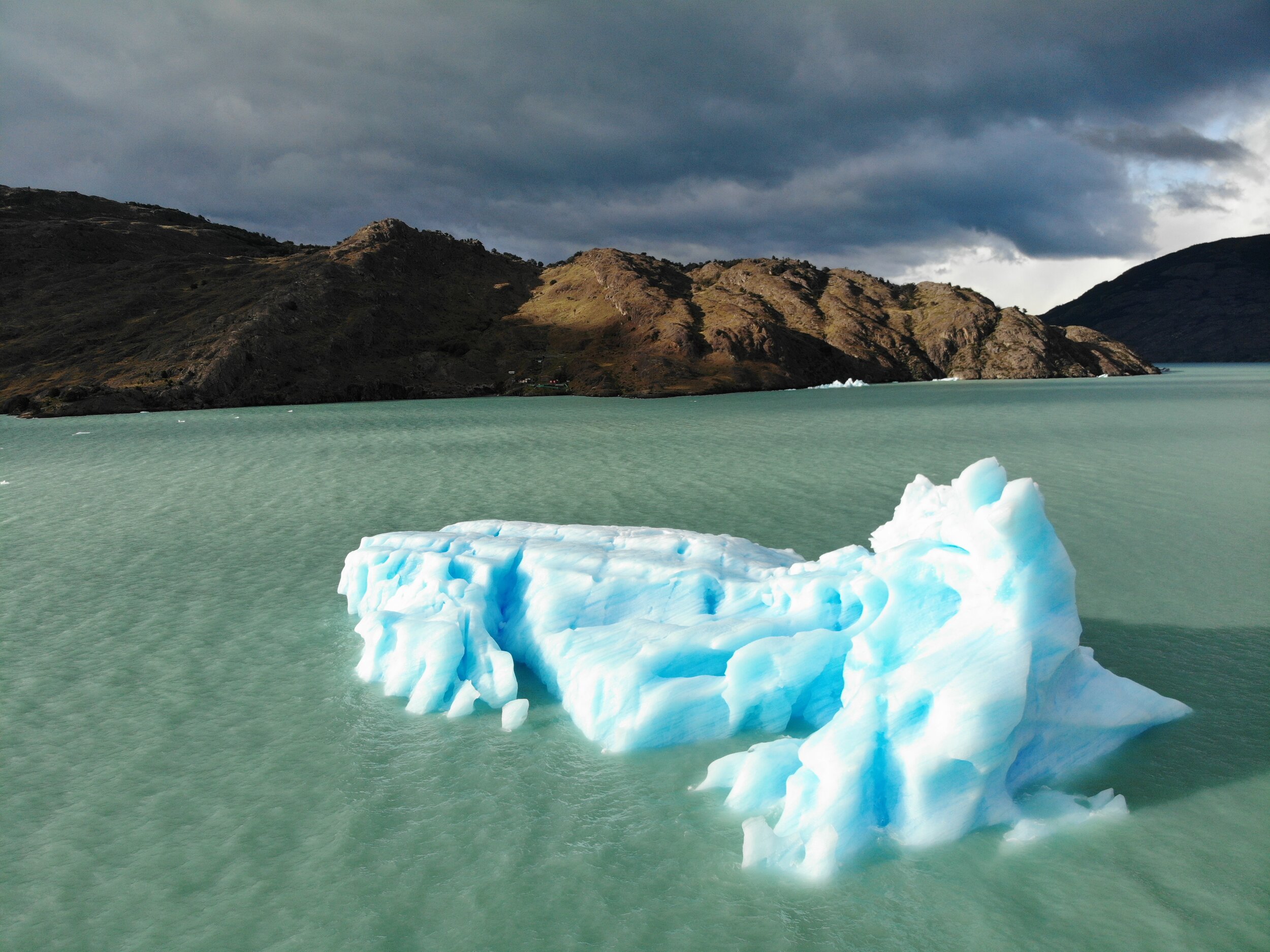
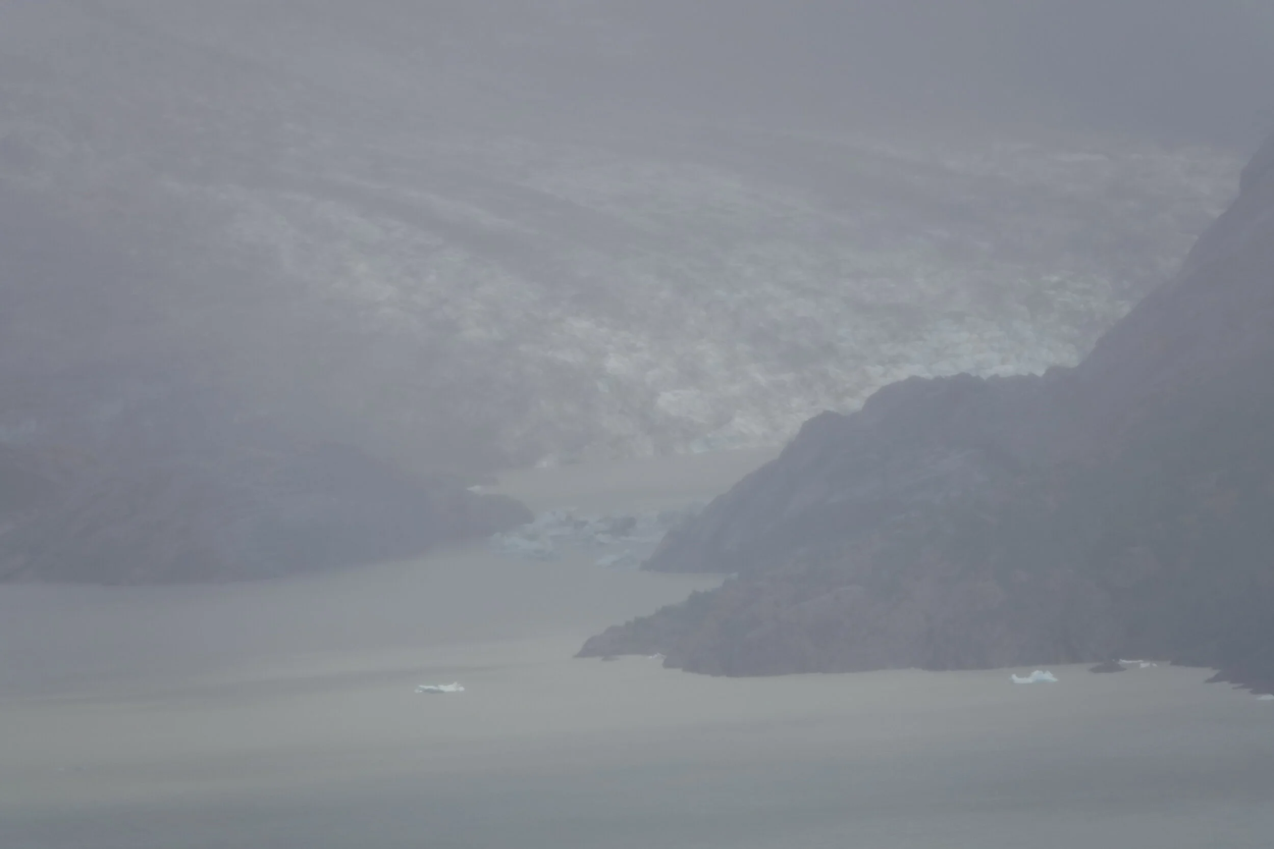
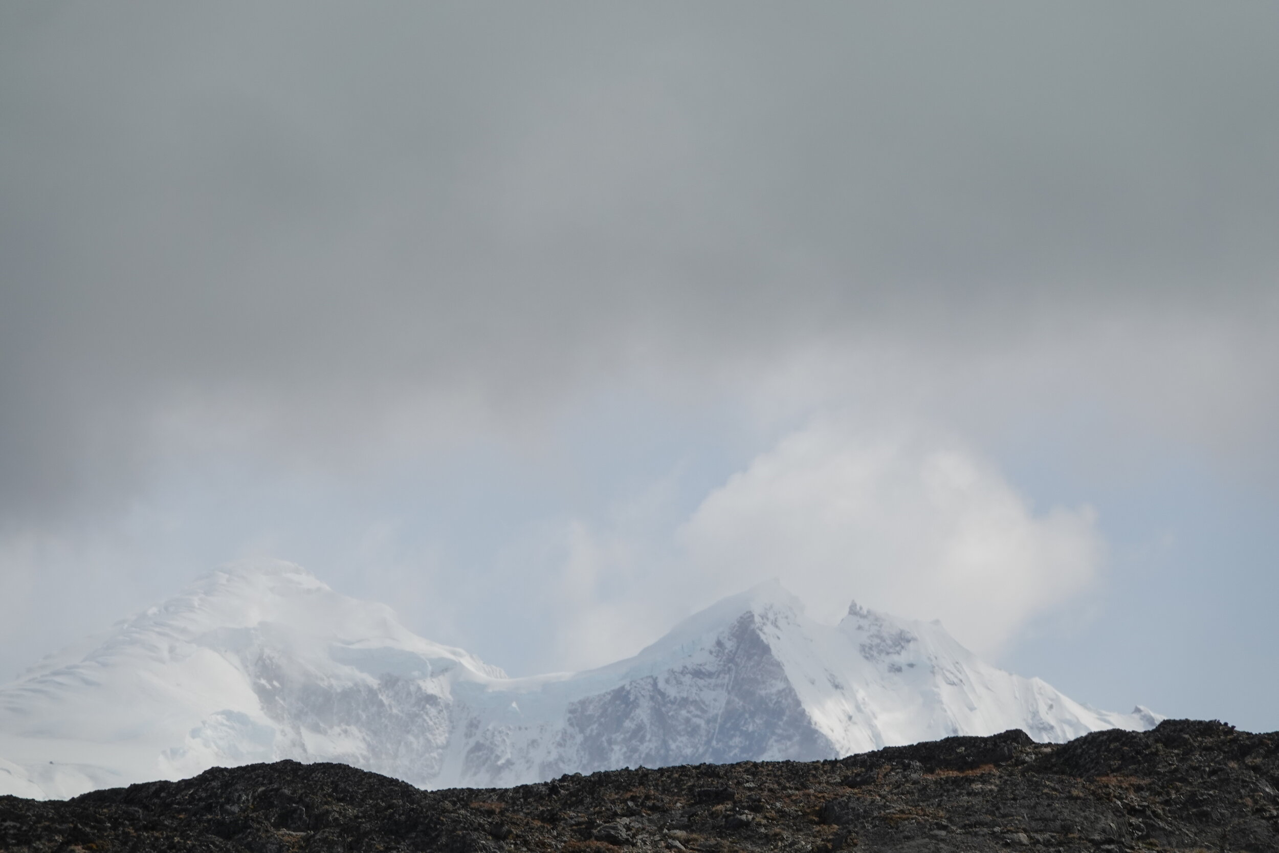
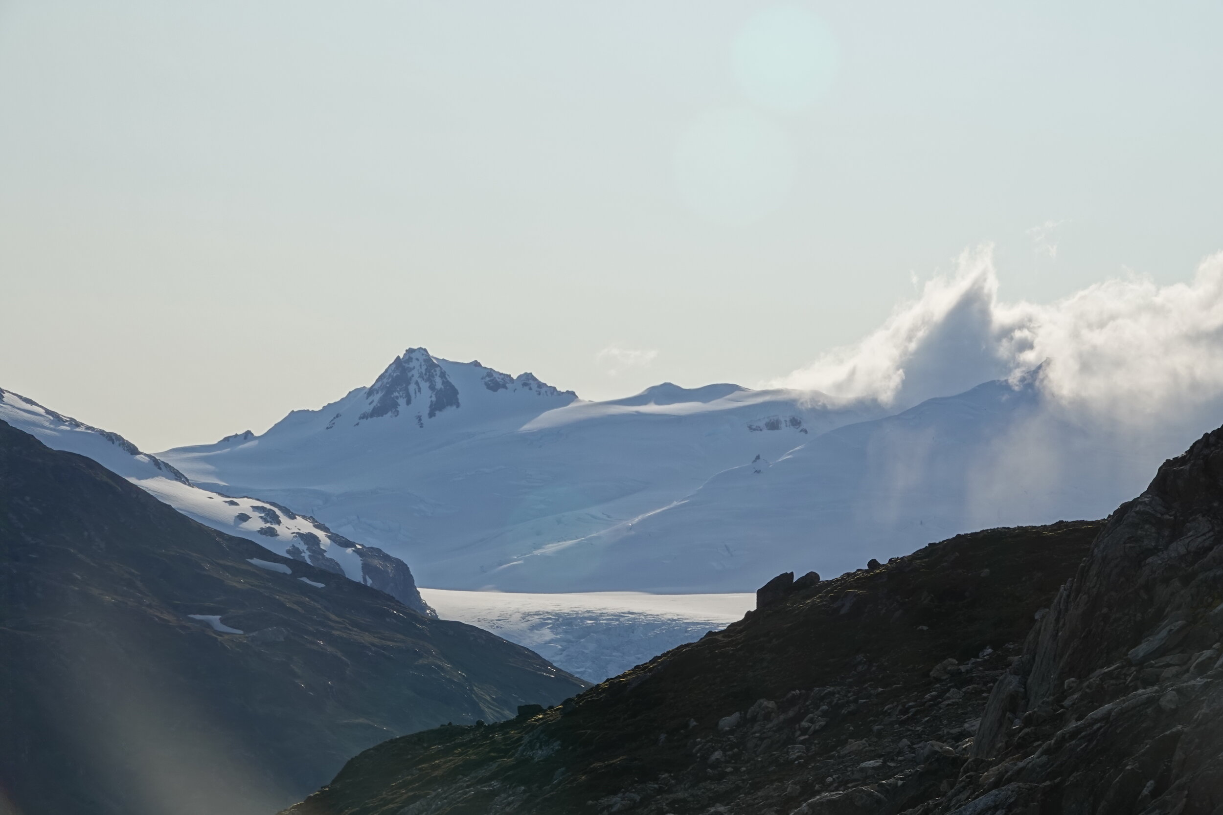
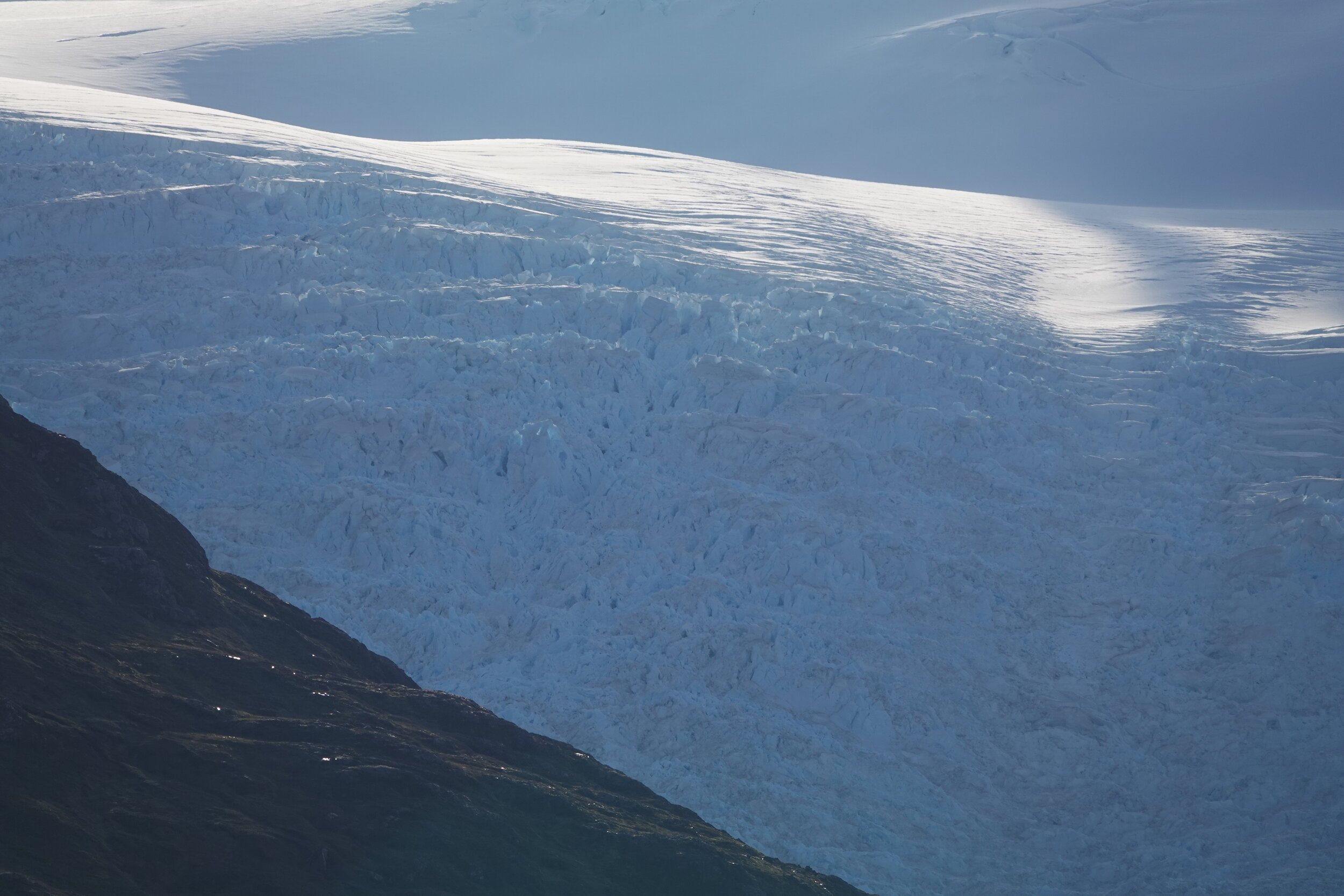
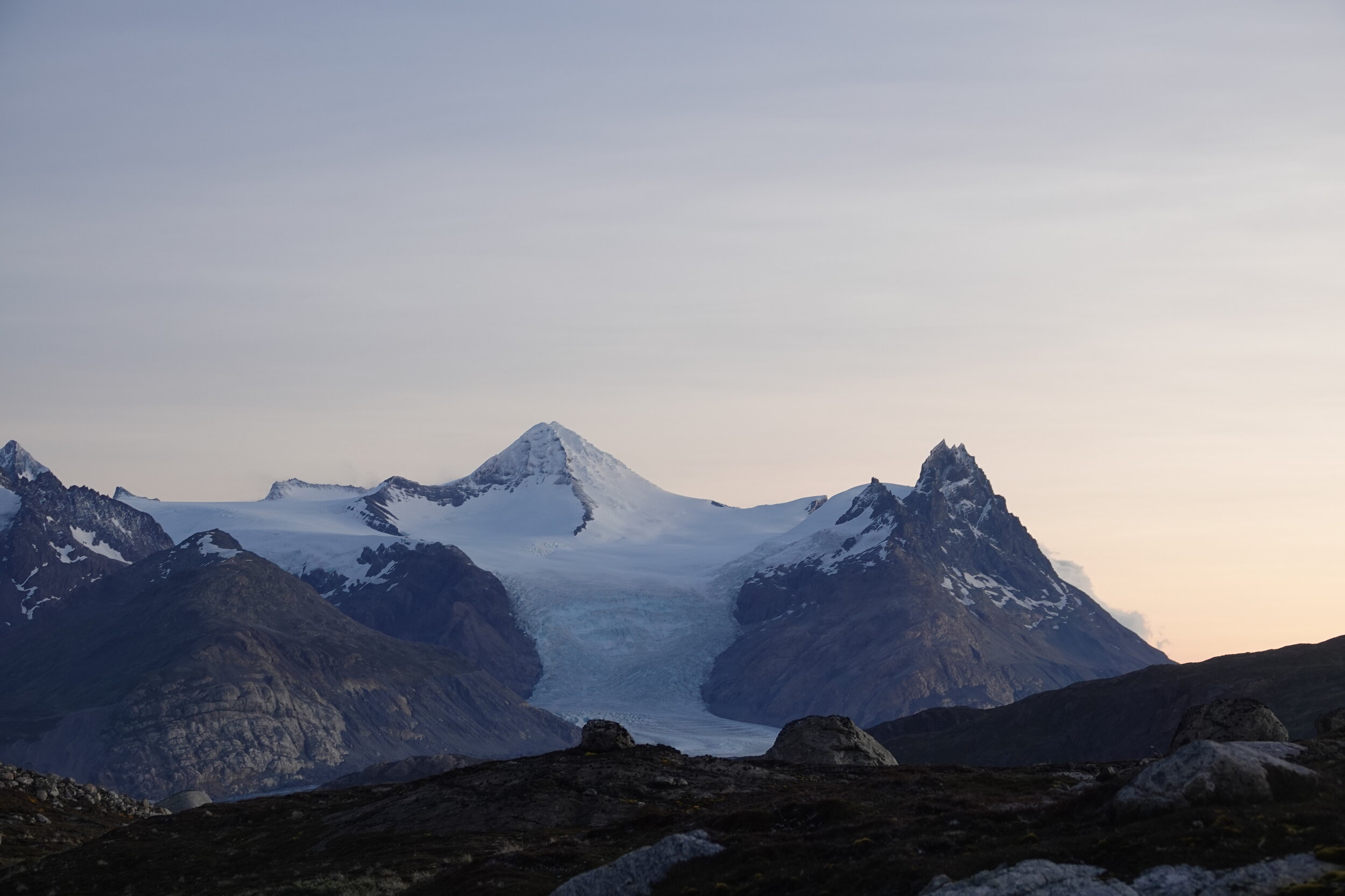
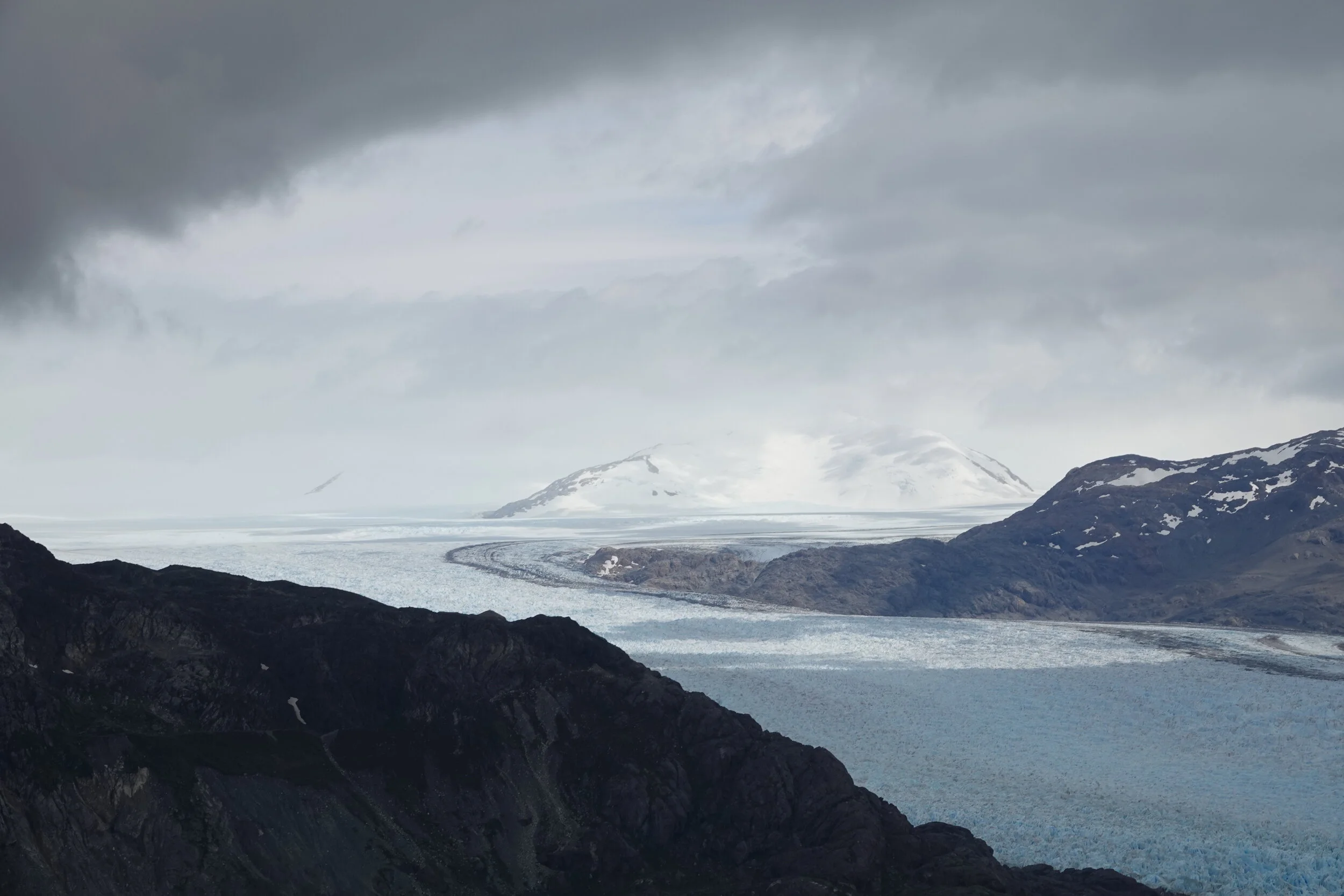
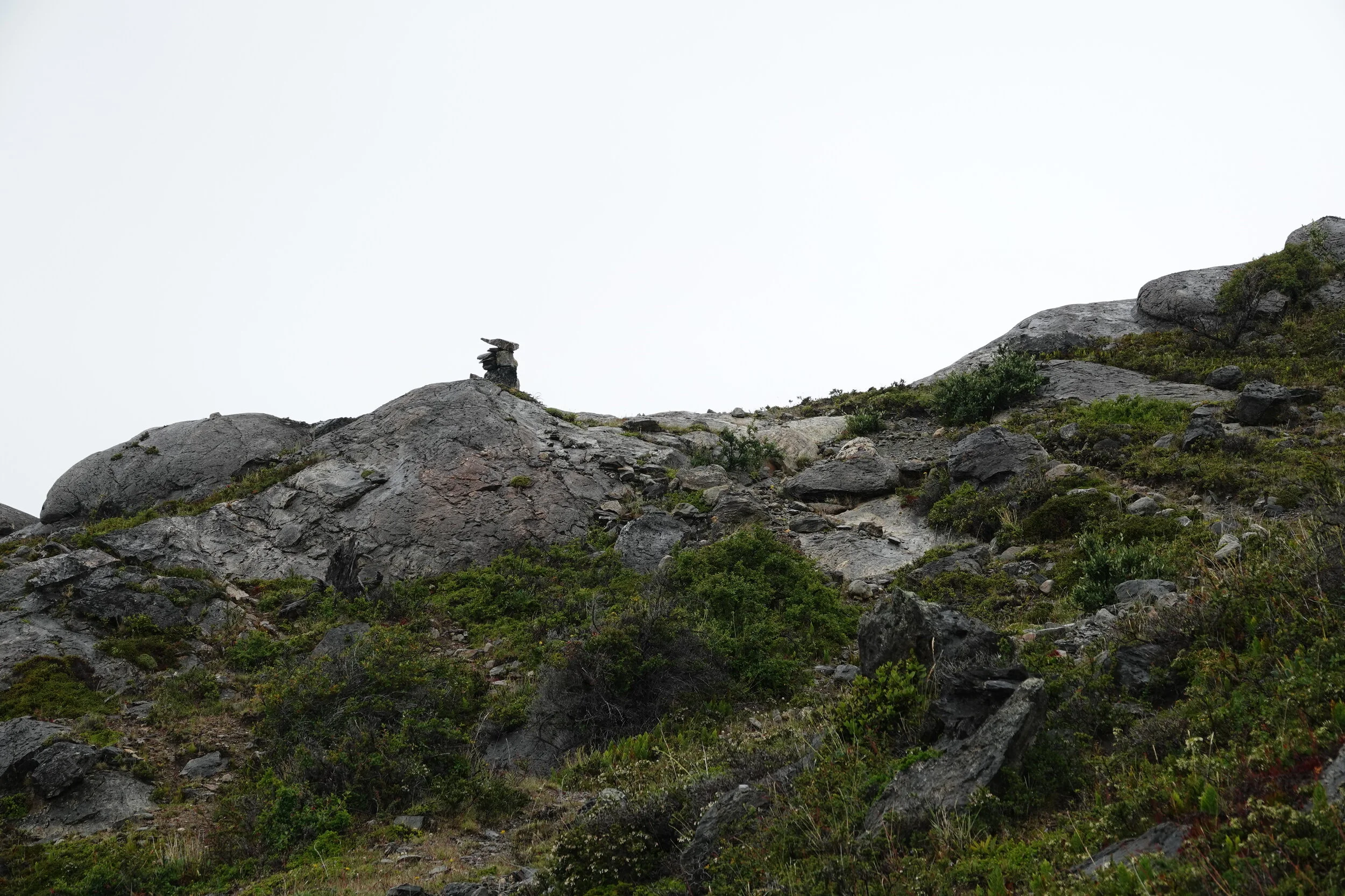
and I get to the top of the island and catch a glimpse of the edge of Glacier O’Higgins.
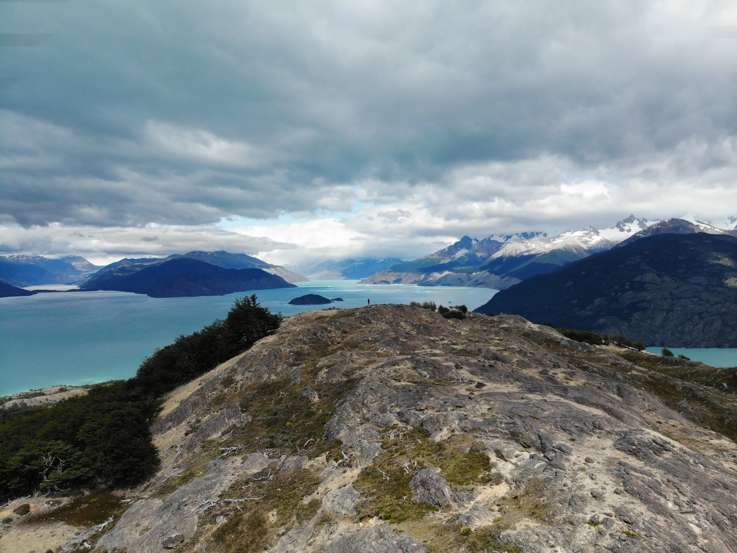

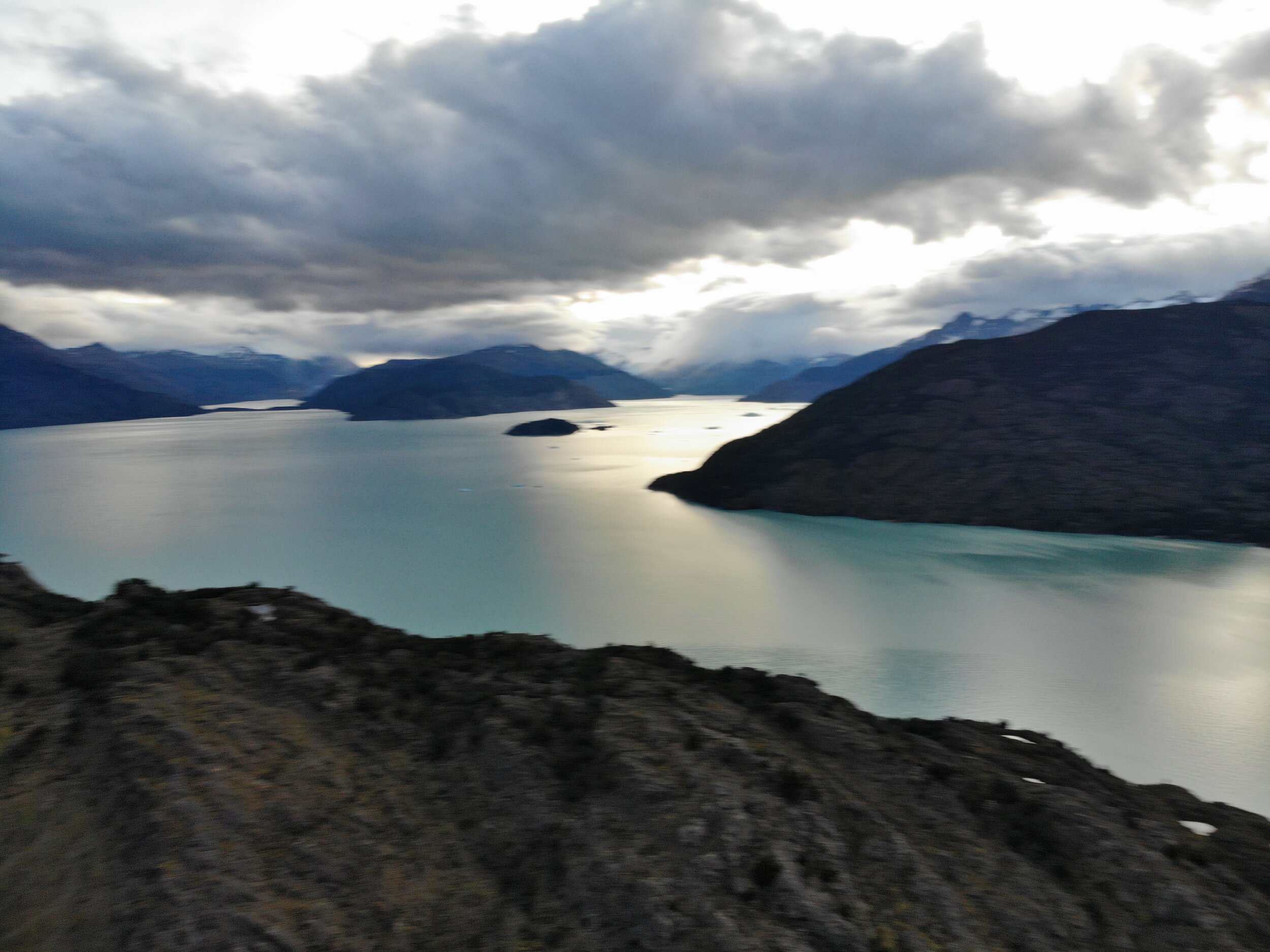
but despite all the beauty there is a worry in my mind. How am I going to get there?
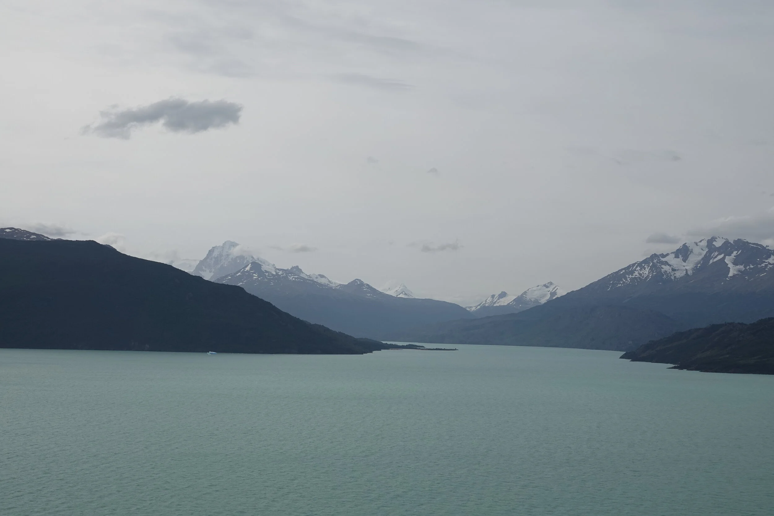
the south arm to the glacier is blocked with icebergs, the winds are howling and if my rubber boat makes it through that the coast looks jagged and steep. If I get stuck there there how would I get out? I spoke to a captain of the tourist ferry who said he could pick me up on the way but they are not even going to the glacier during these winds.

the eastern crossing looks scary and there is a possibility i may get blown into a different location if the winds pick up when I am crossing it. Assuming that it can get calm enough to cross it.

Marcelo said you could reach the glacier from his house but that would be a lengthy overland expedition.
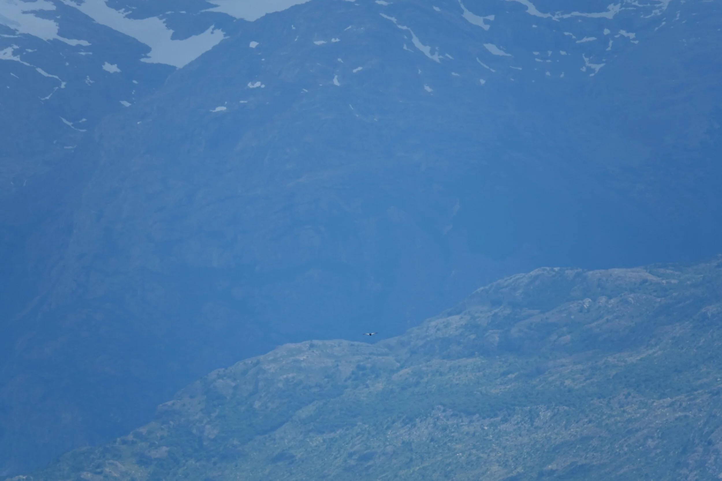
a condor flies over effortlessly cruising with the wind.

the only reasonable way to get to the glacier would be lake Chico.

When I return to the estancia Susana tells me that Don Chicho had called and the Carabineros would like to talk to me on their next patrol in two days. I consider telling them that I’ll be waiting at the eastern end of the island waiting for the wind to clear. But I know it and its hard to admit. This crossing is too dangerous and is not worth the risk or waiting for days, maybe weeks for a calm weather window to make it. Plus it’s my birthday tomorrow (Jan 20) and spending it here with great company and all the farm animals will be better than waiting on a tiny rocky point waiting for the wind to stop.
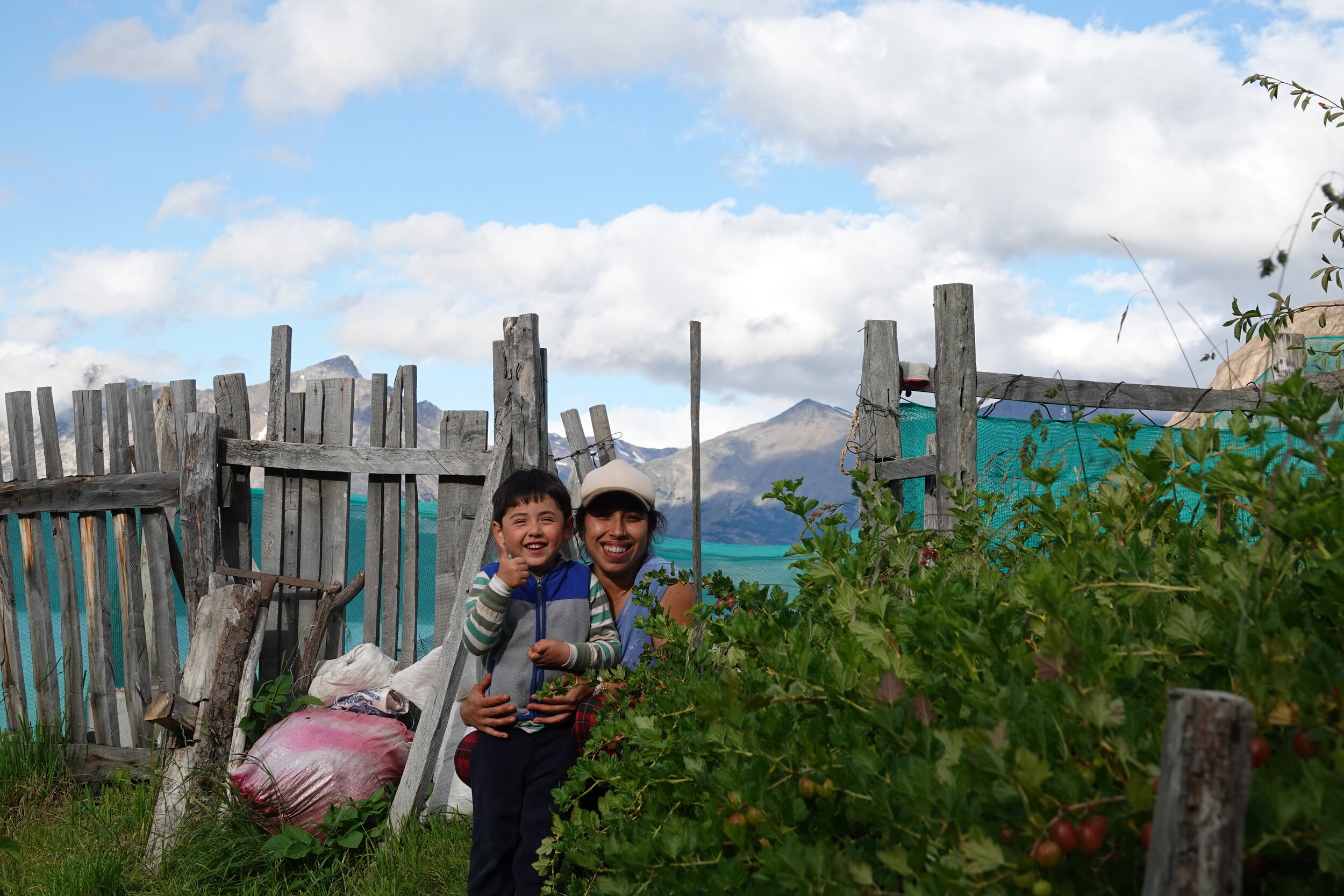
I got to spend two wonderful days at Isla Central Patagonia and am proud to say that I have been one of the first tourists here.


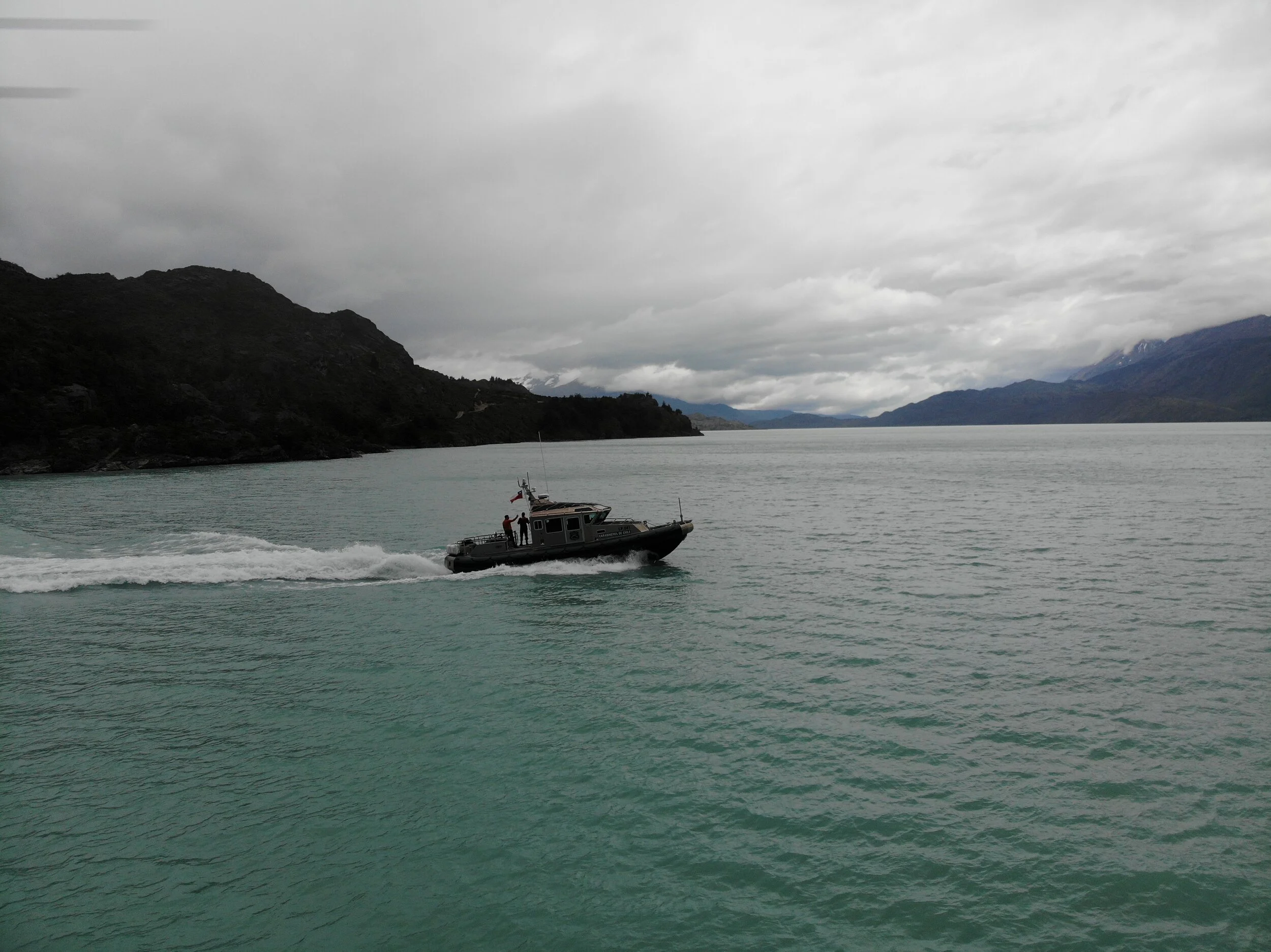
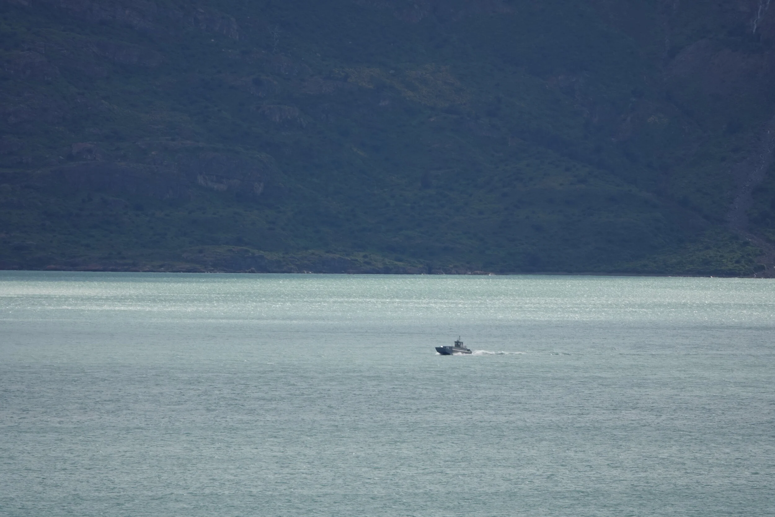
The dog morning alarm sounded when the Carabineros made their way into view. In addition to the one in 10 days ferry, the police also patrols the lake few times a month. But more so it felt that they were friends with everyone and always going out of their way to help when help is needed and I am glad I got to talk to the Carabineros and not the Armada (naval forces of chile) as I have heard they may be more by the book and a special permit may be needed to be in this lake as it is on the border with Argentina.

We passed to greet Don Chicho, Mirta and now they have another grand daughter helping around the ranch. I wondered if I was in any trouble but the Carabineros said they can take me to where I needed to go and even got to chat to an american anthropologist who was doing her master thesis in the area about the pioneers and first settlers of the area.
I was off at Candelario Mancilla and they continued back to Villa O’Higgins.

I went to the border post to ask about going to the south arm of the lake and they had some special permission forms. A grumpy policeman fills up the form, scraps a copy due to a spelling error and we go over the fields again.
”Do you have experience…” looks at me, “yes”
the only catch is I will still need to return here before going to Argentina for my passport stamp.

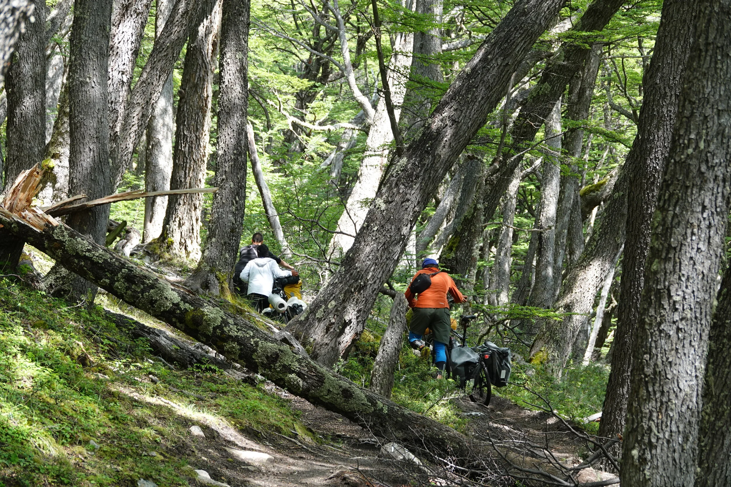
I start walking up on the popular Villa O’Higgins - El Chaiten biking & hiking route, I have heard people up in Alaska talking about this and now that I am on it, i kind of miss my bike.
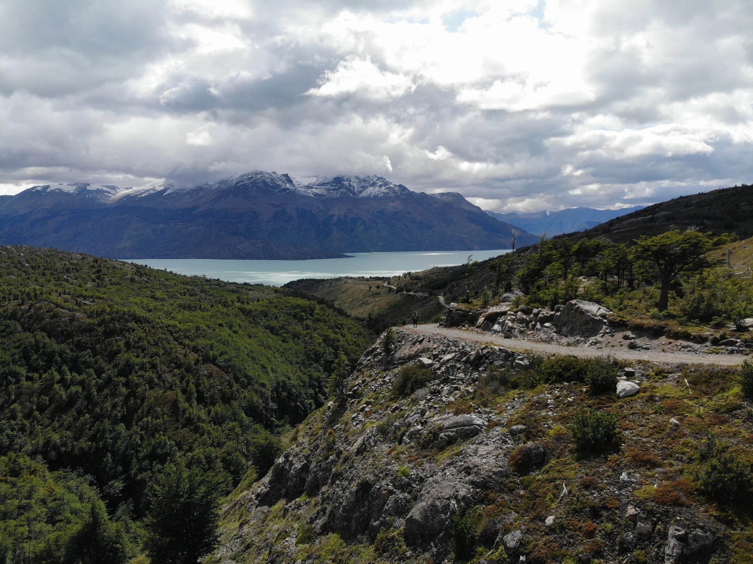
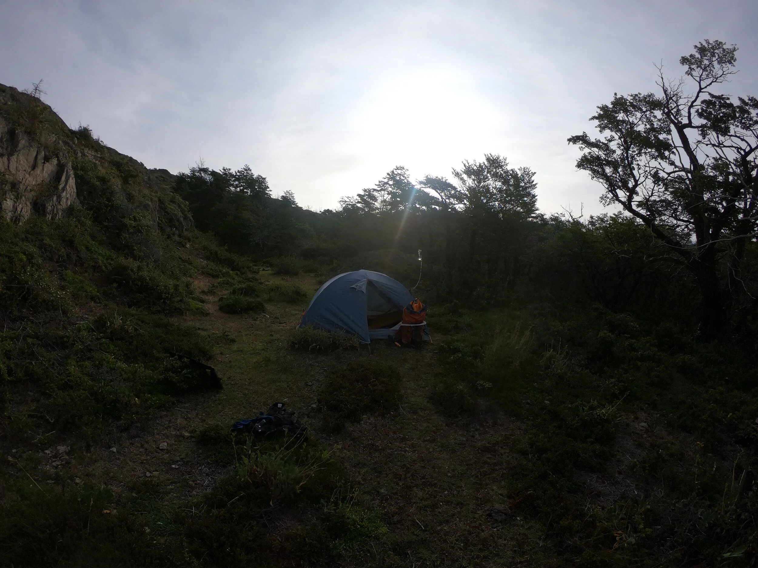
The trail is good and although it seems I have escaped the water for now, the water seems to find my anyway. I push on until 4pm when I am getting too cold and debate wether I should put on the semi-dry top to keep going or just set up camp. I set up somewhere wind-protected and will continue the next day.

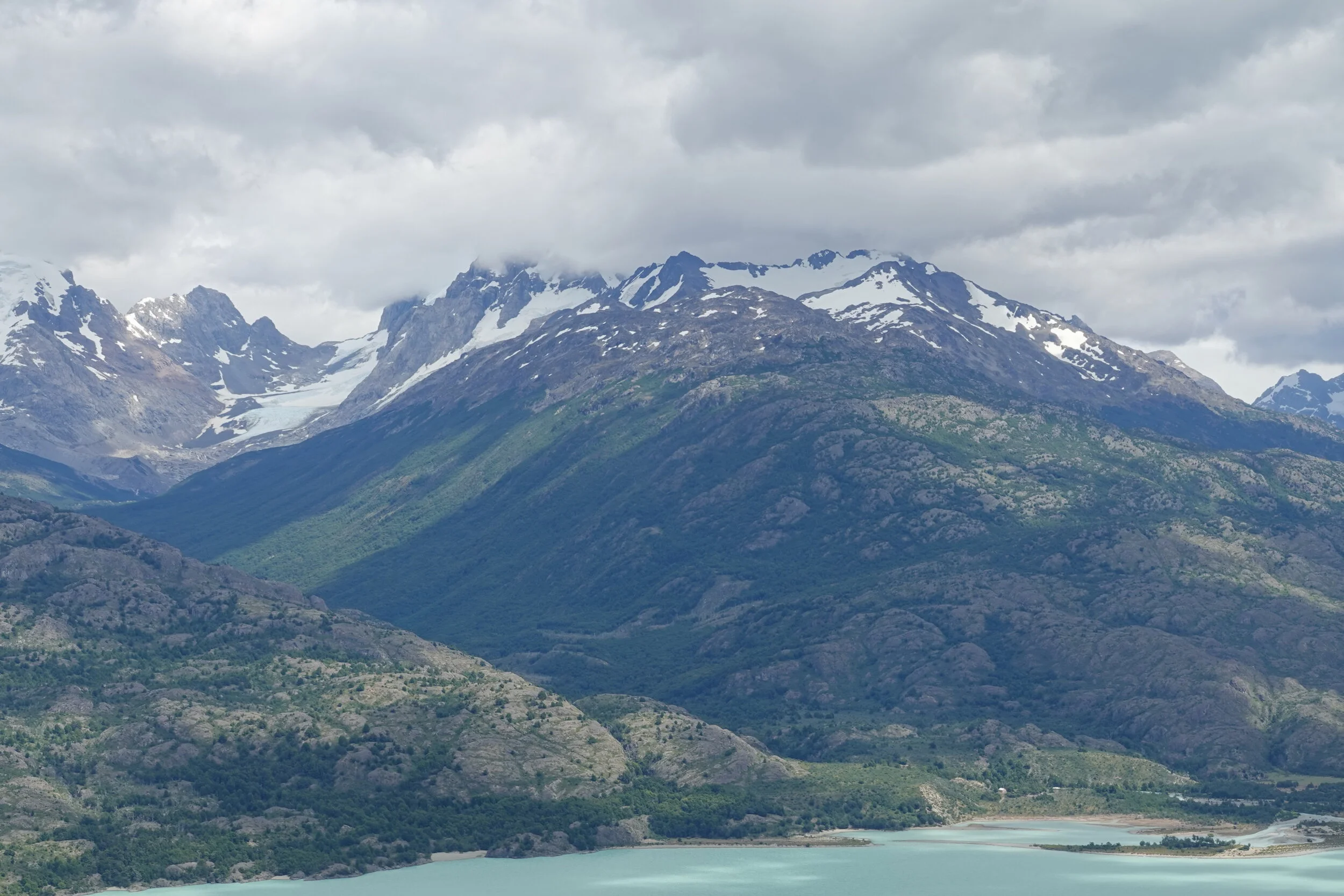
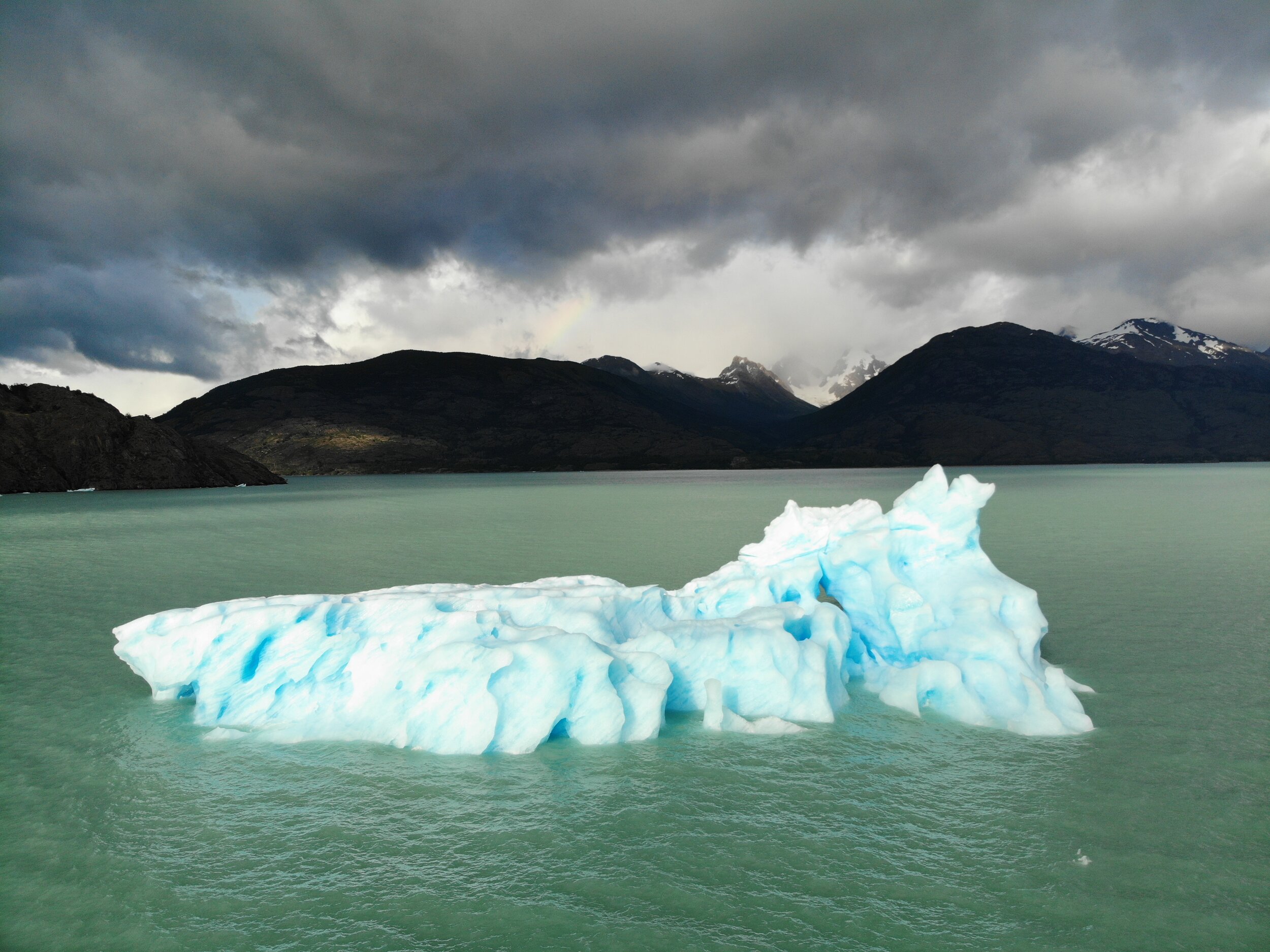
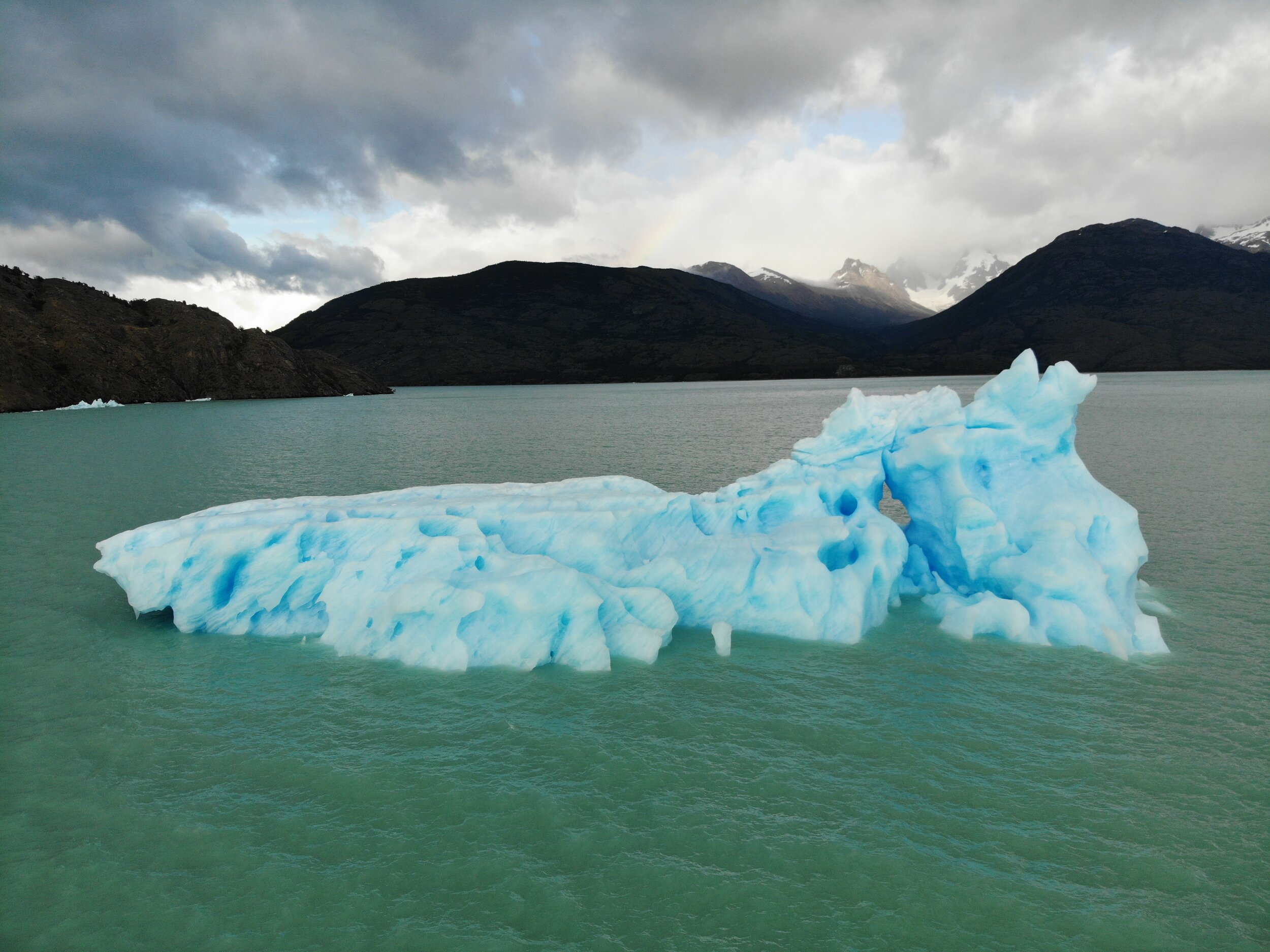
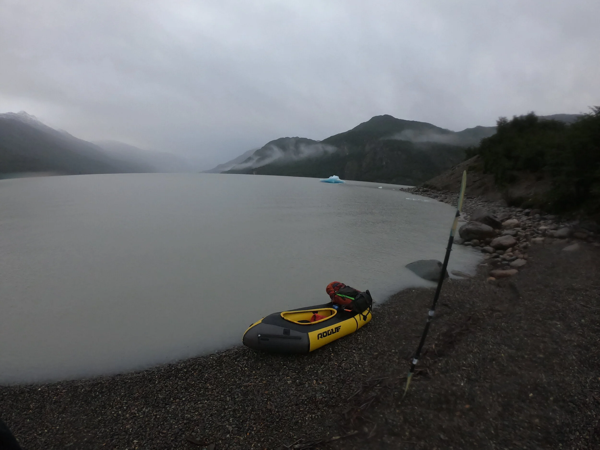
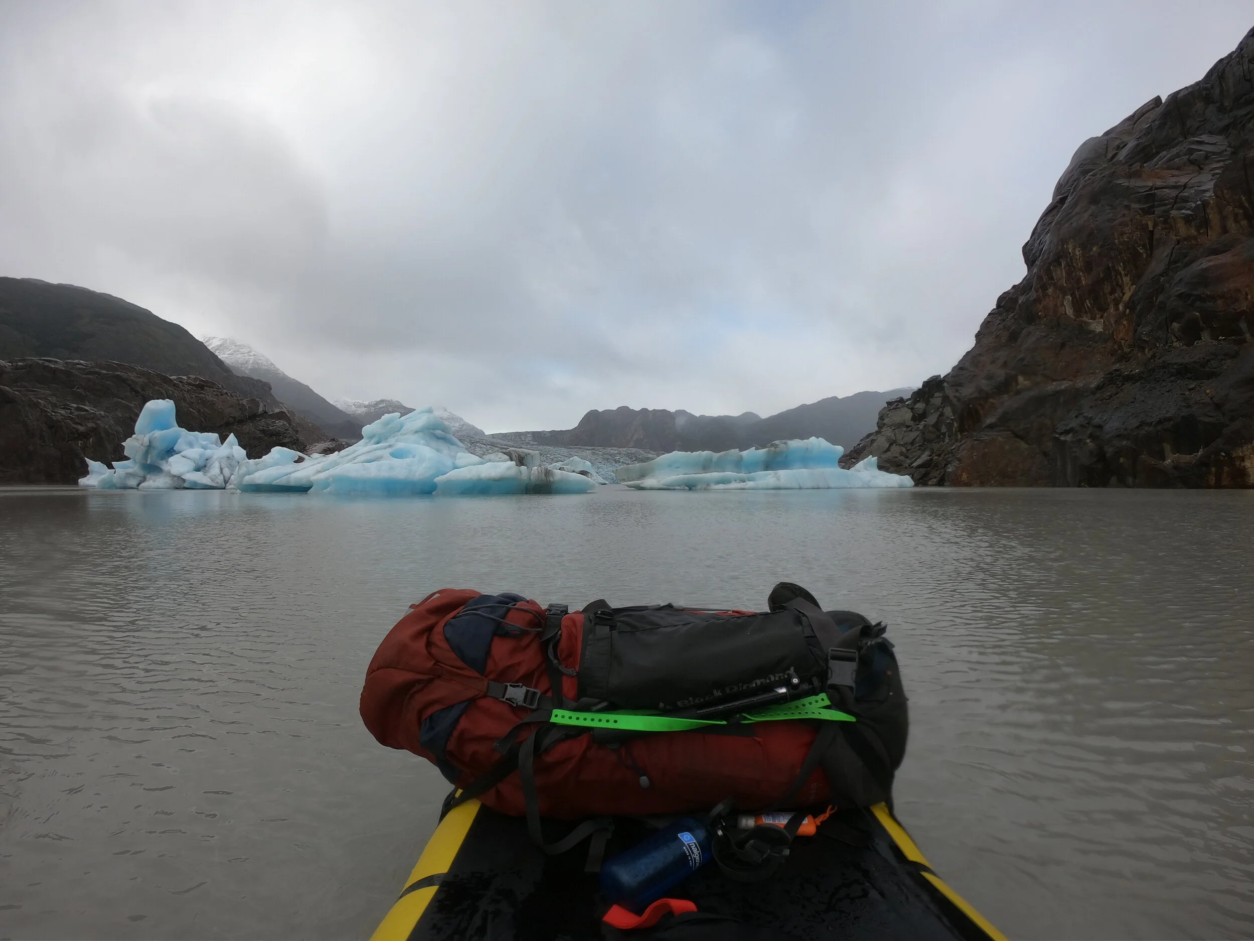
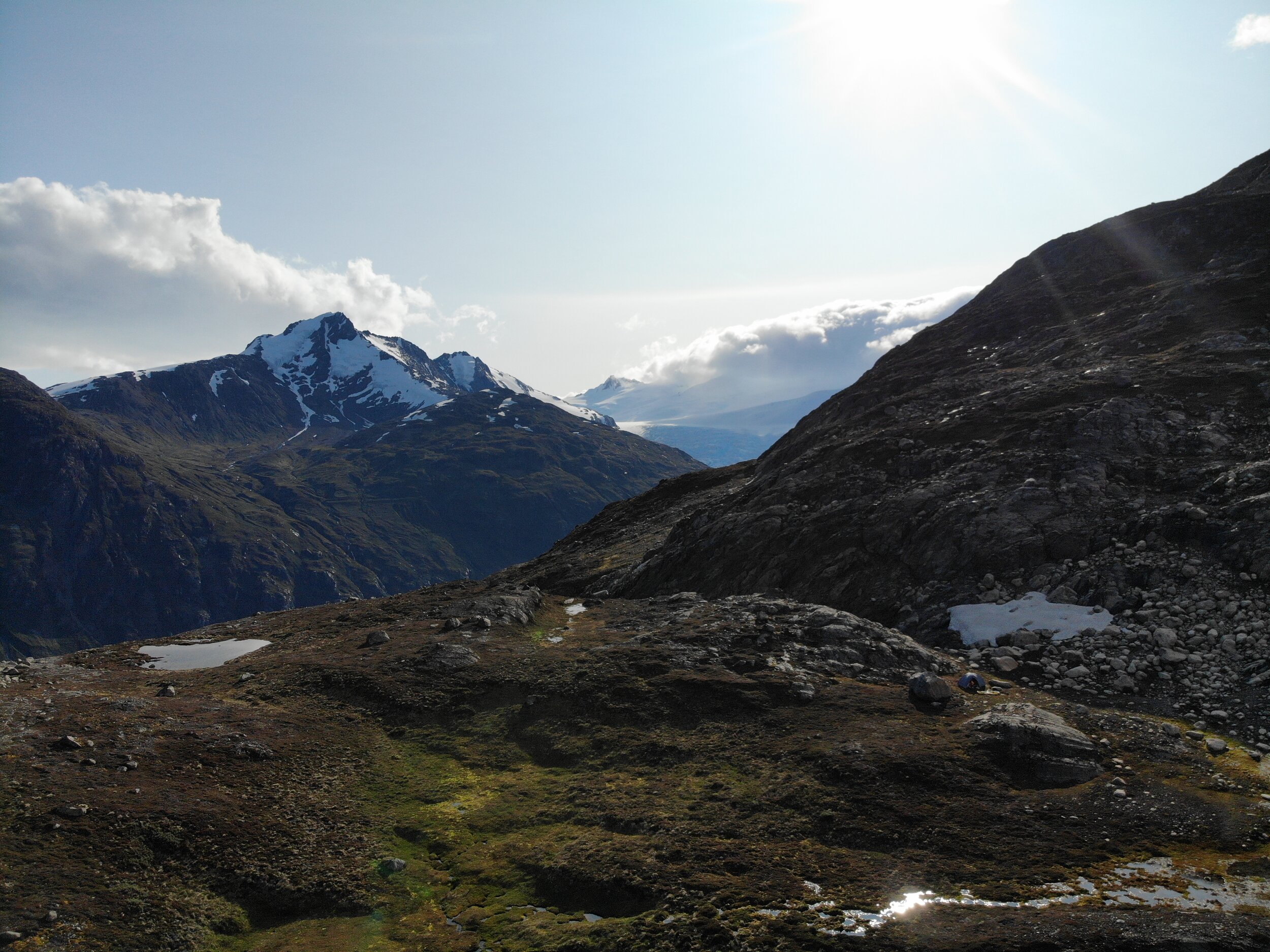
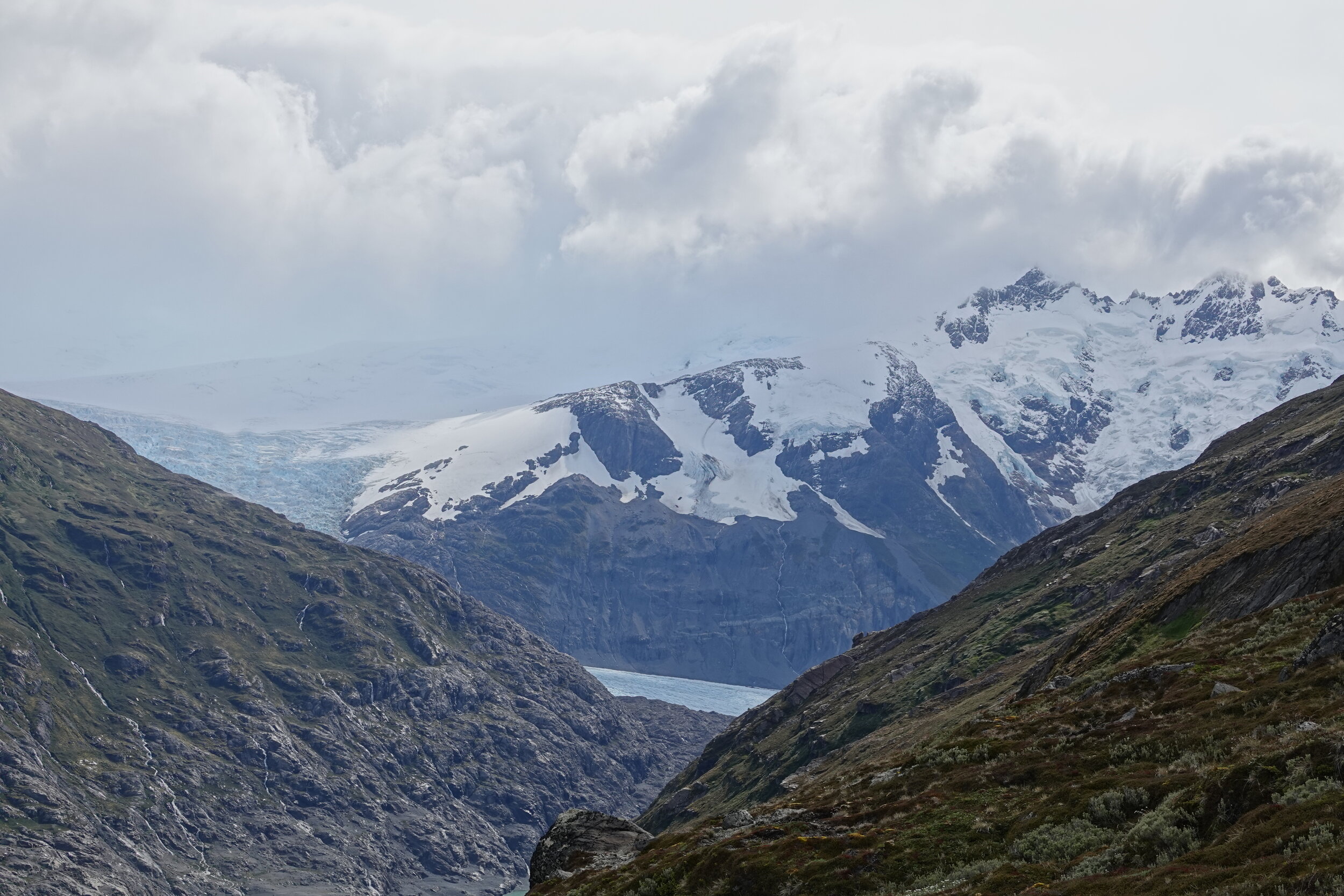
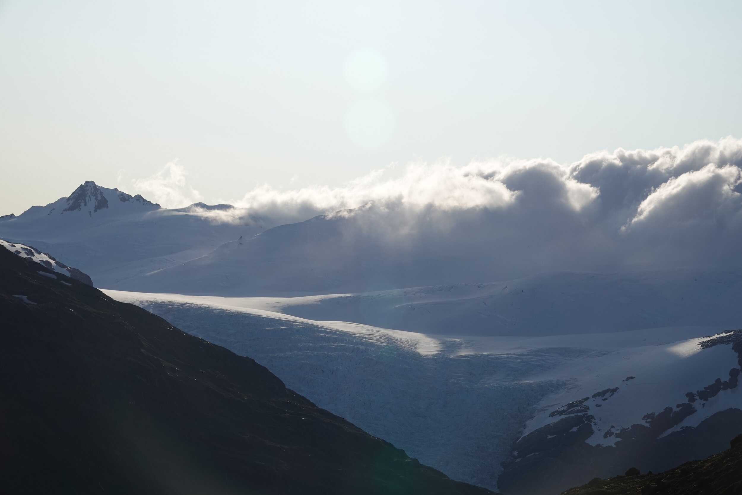
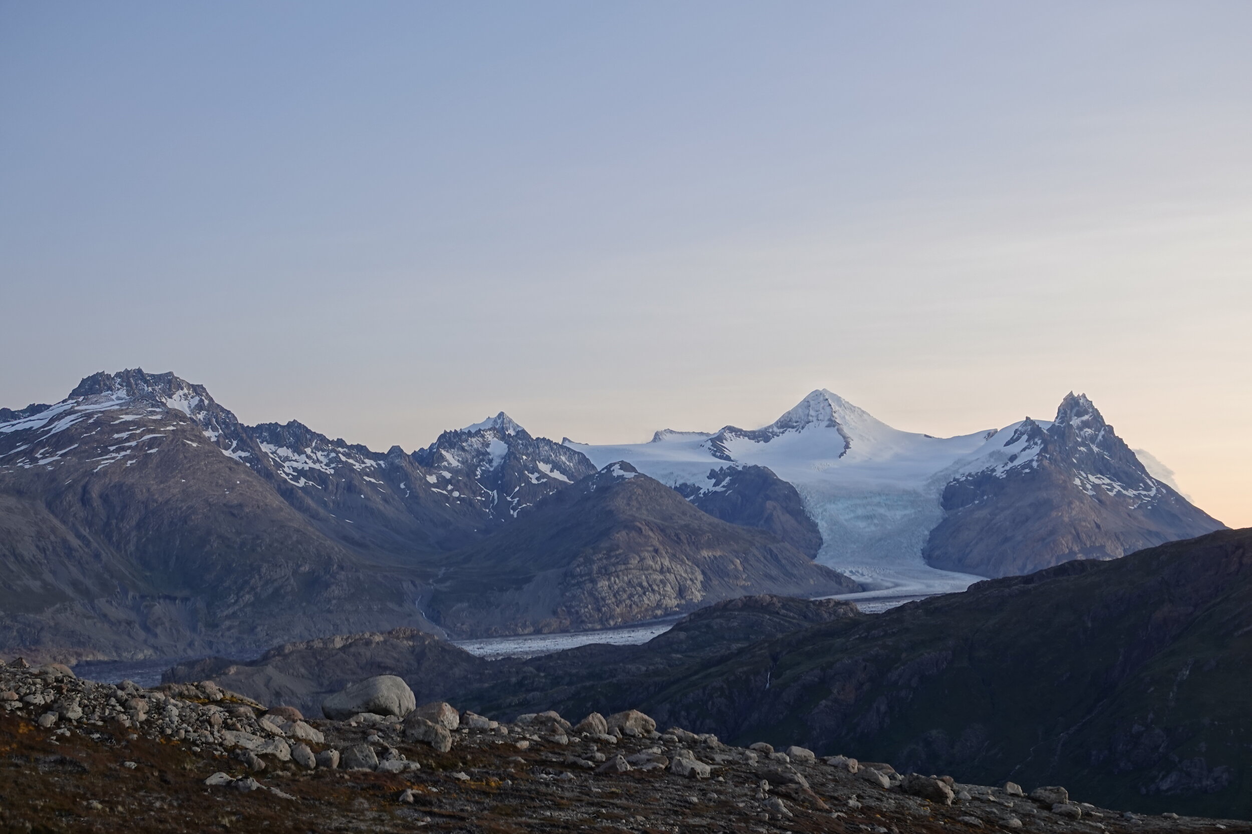
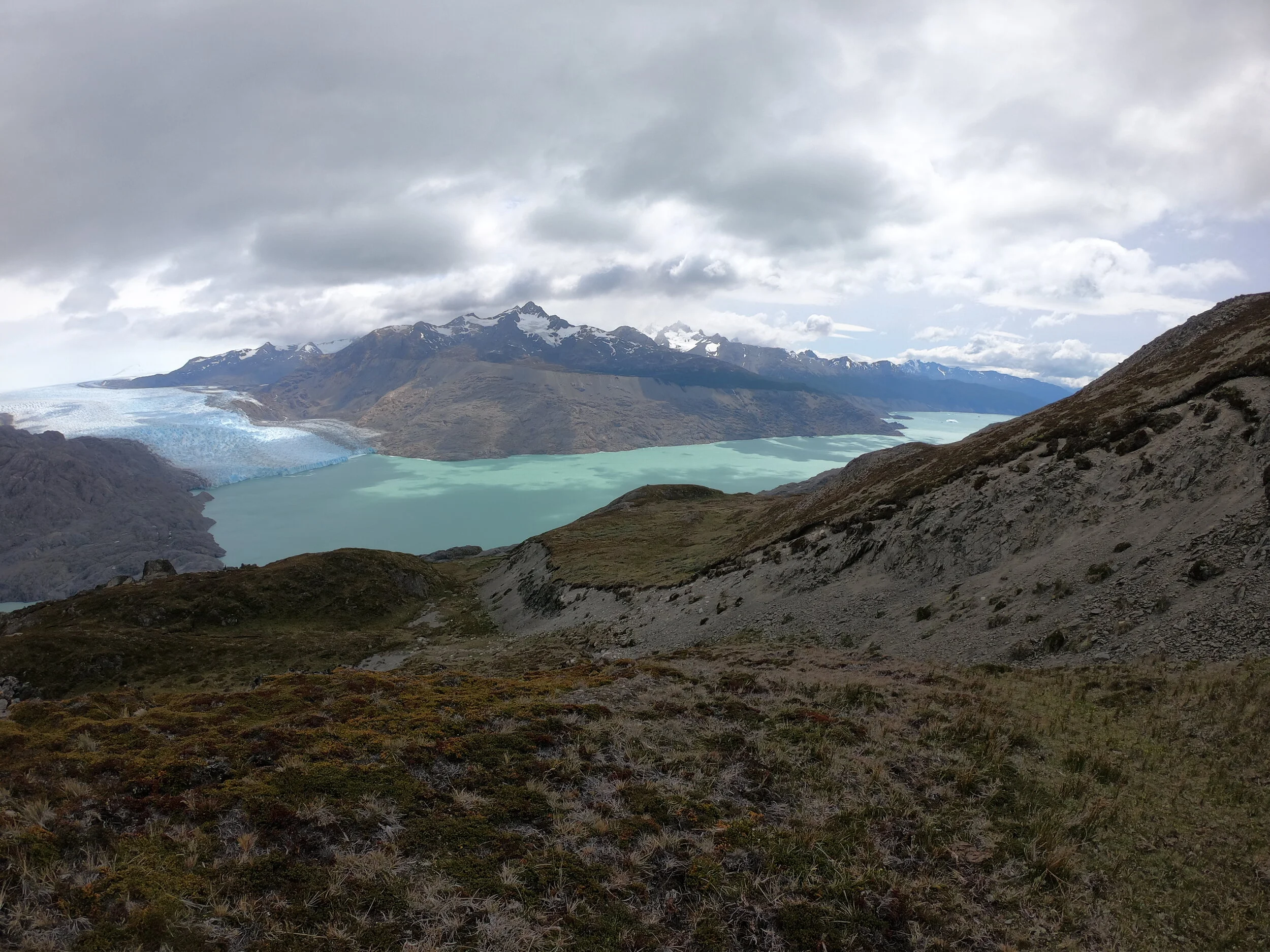
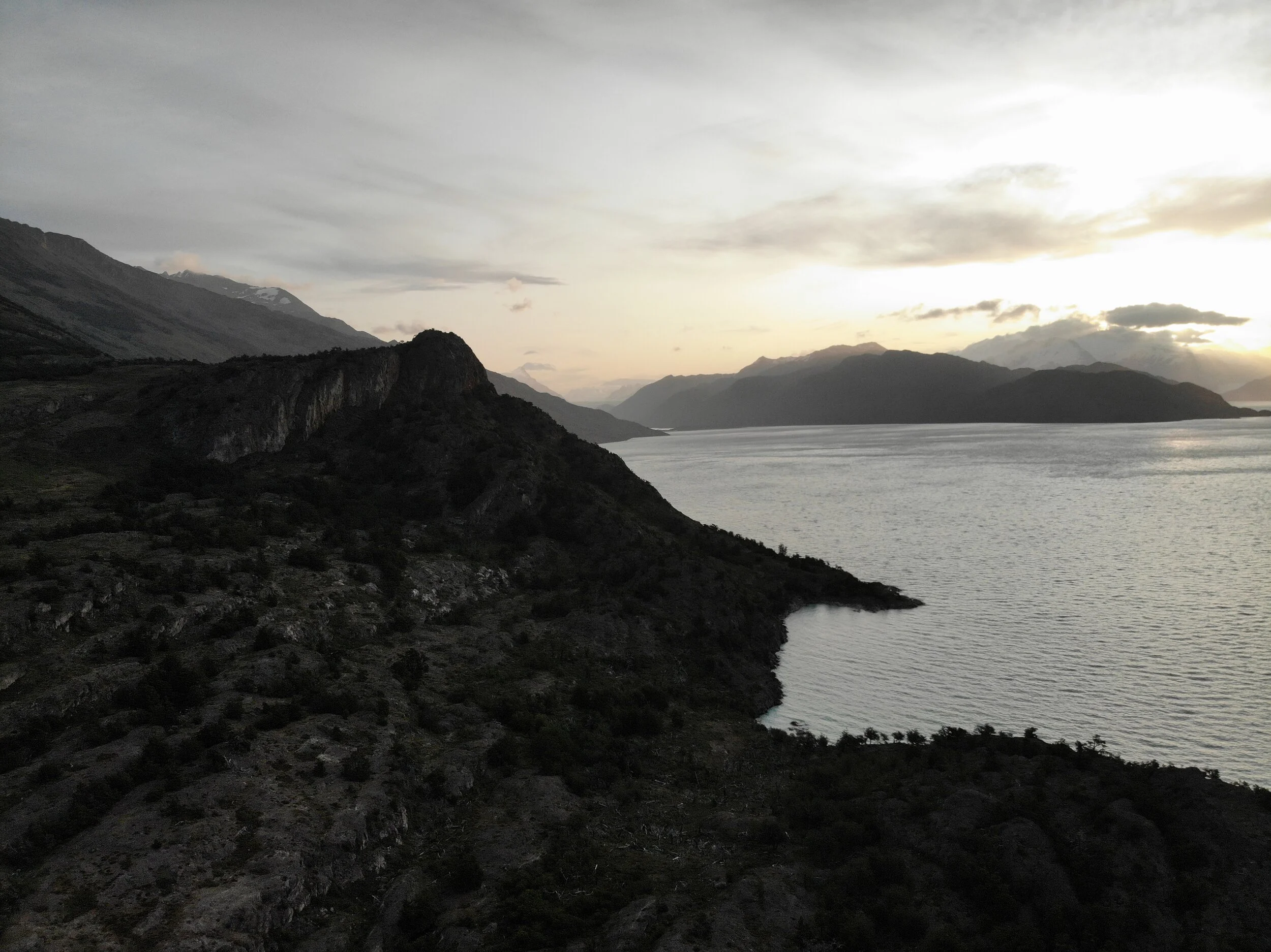
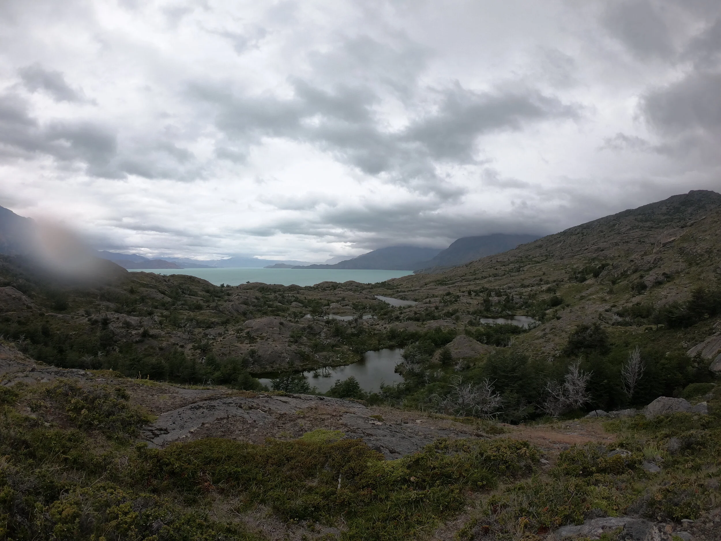
Over the pass I get a view of Lake Chico and my possible route. There seems to be a clogged up passage before the glacier and it is unlikely I could portage around this.

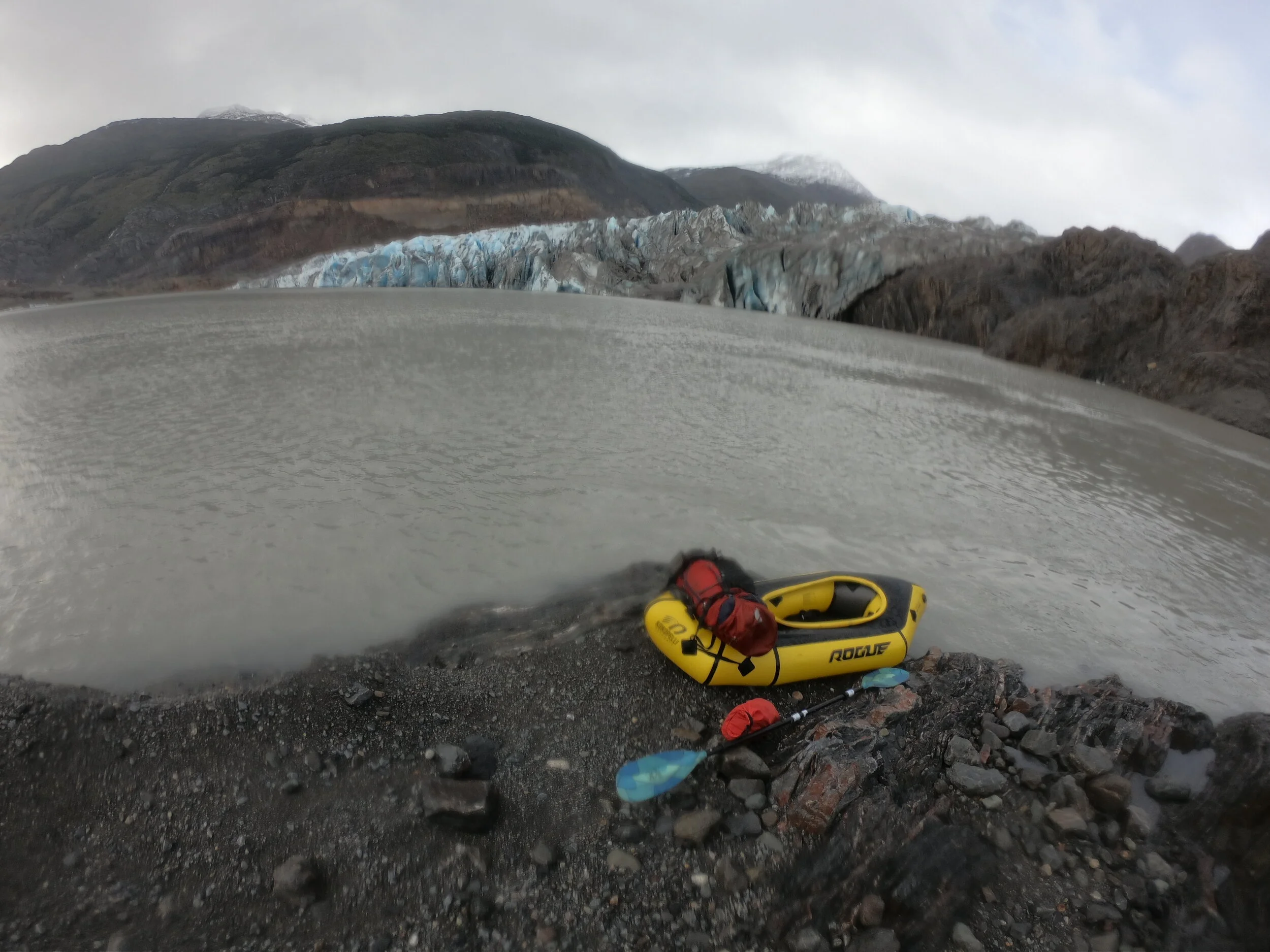
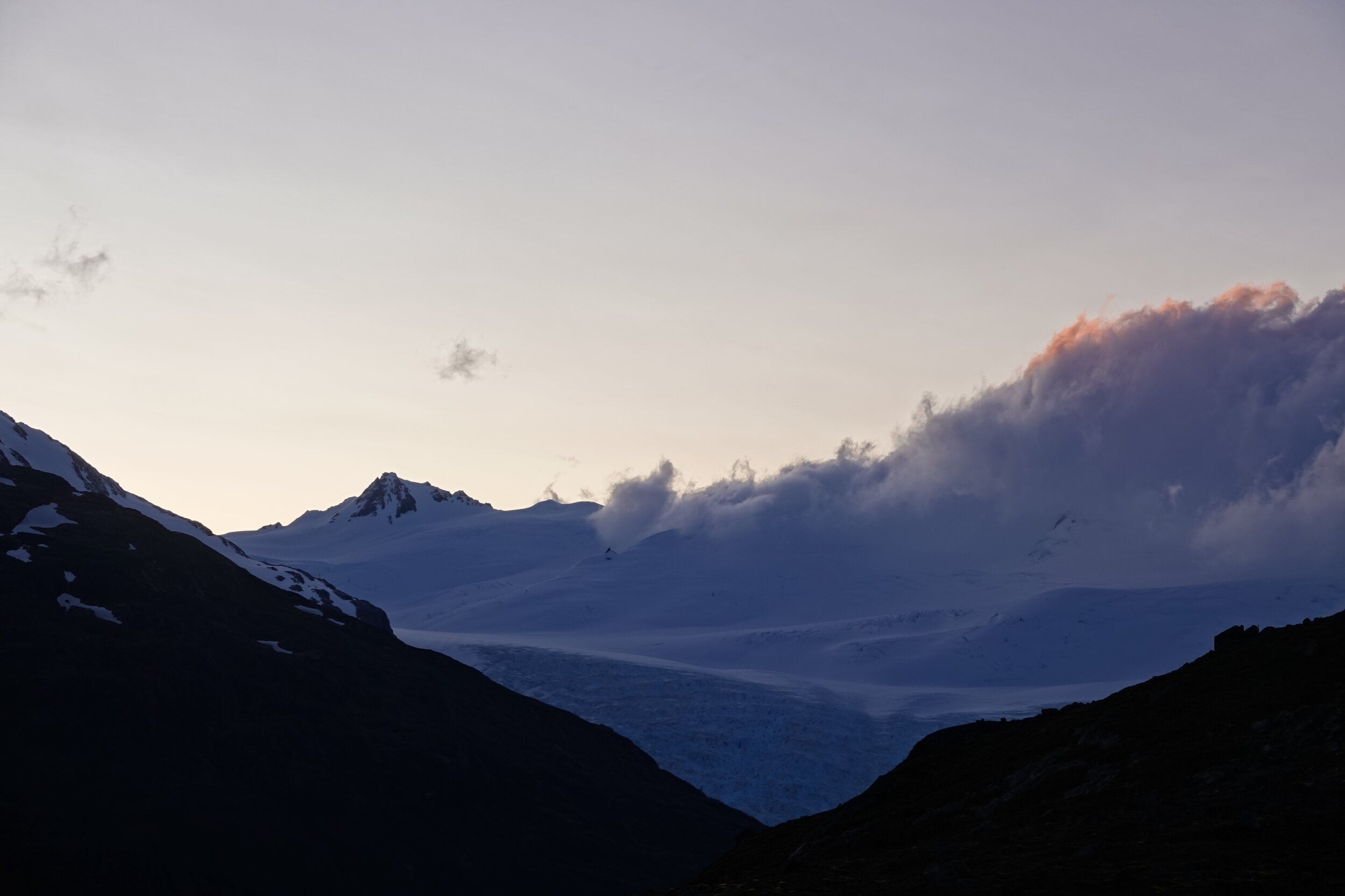
it rained cats and dogs all night but it also seemed quite calm. At 6am I was ready and walking with my boat to the lake and made my way to those icebergs & the Chico glacier with ease
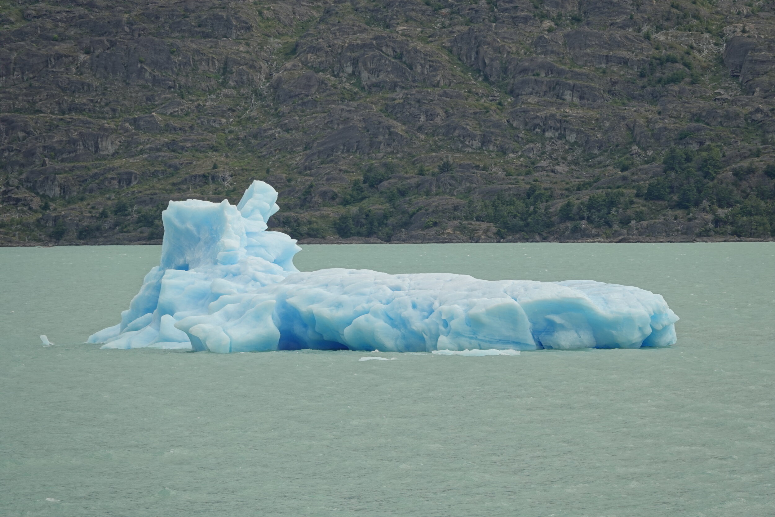
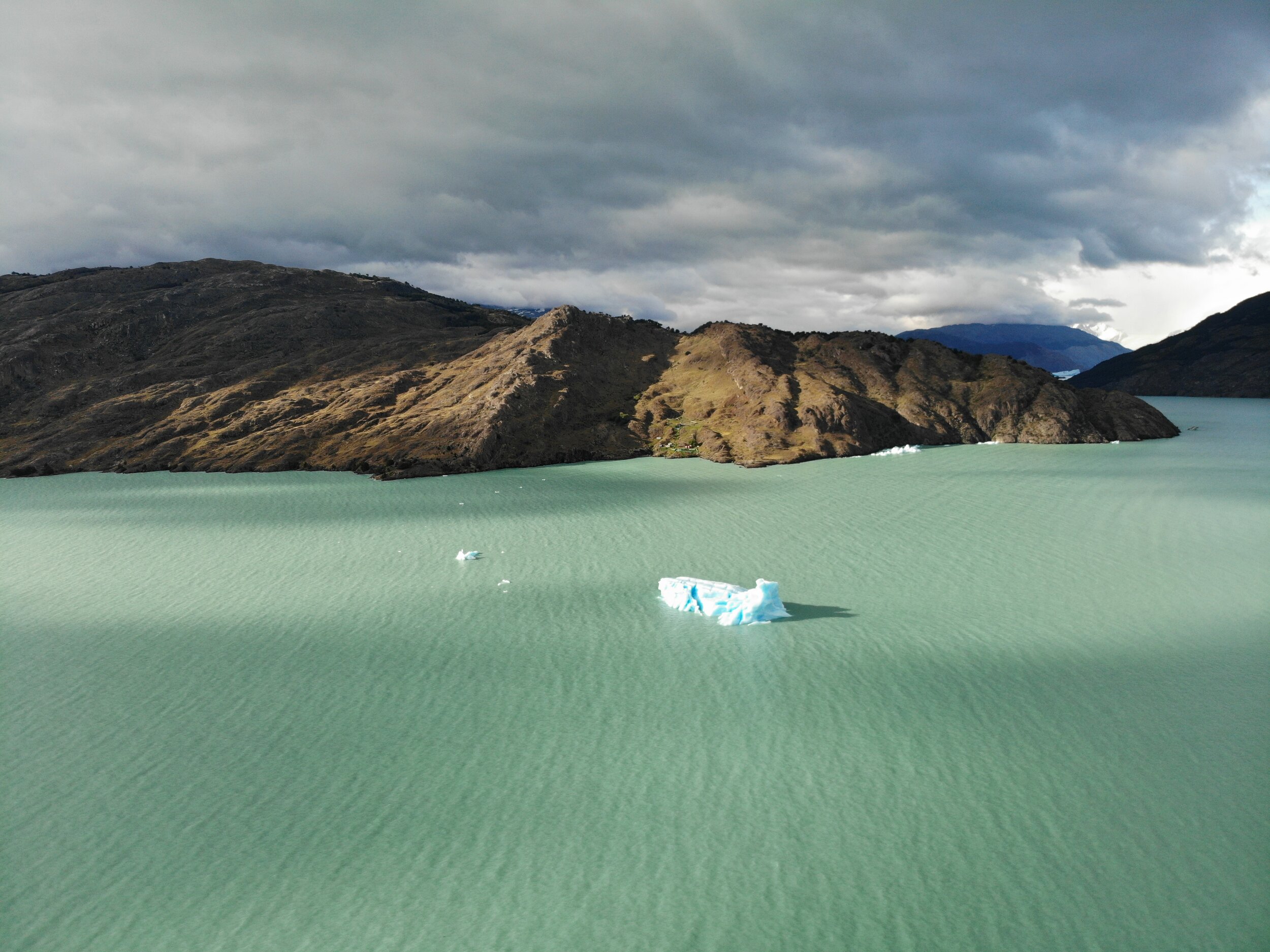
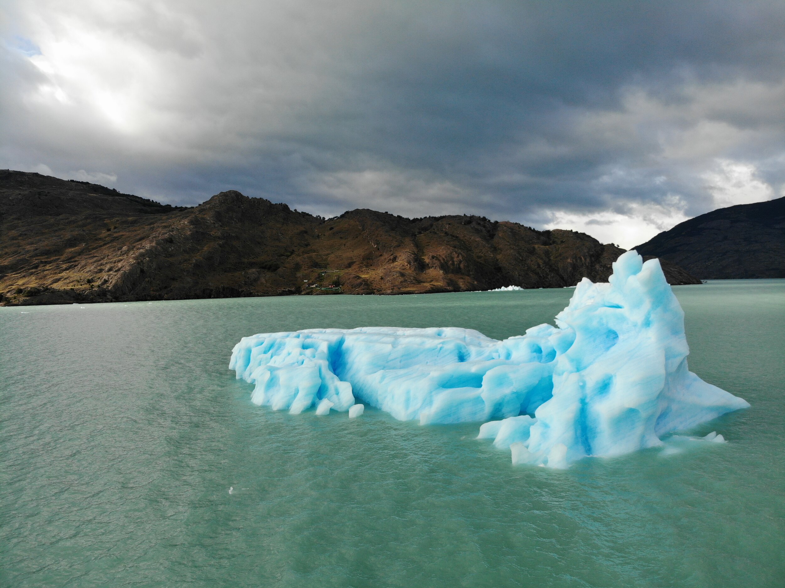
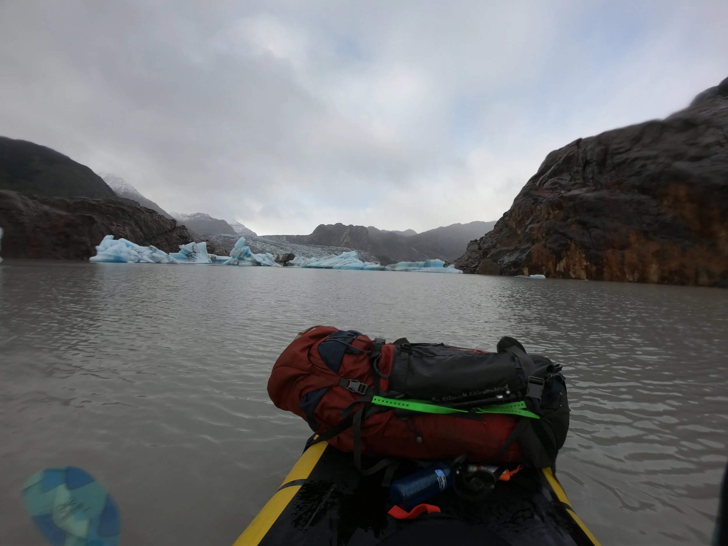
I had seen an iceberg break at the central island and that would almost certainly be bad for me and my boat but the weather was so calm and these icebergs were not as close to eachother as I thought they were. I spotted a line across and went for it.
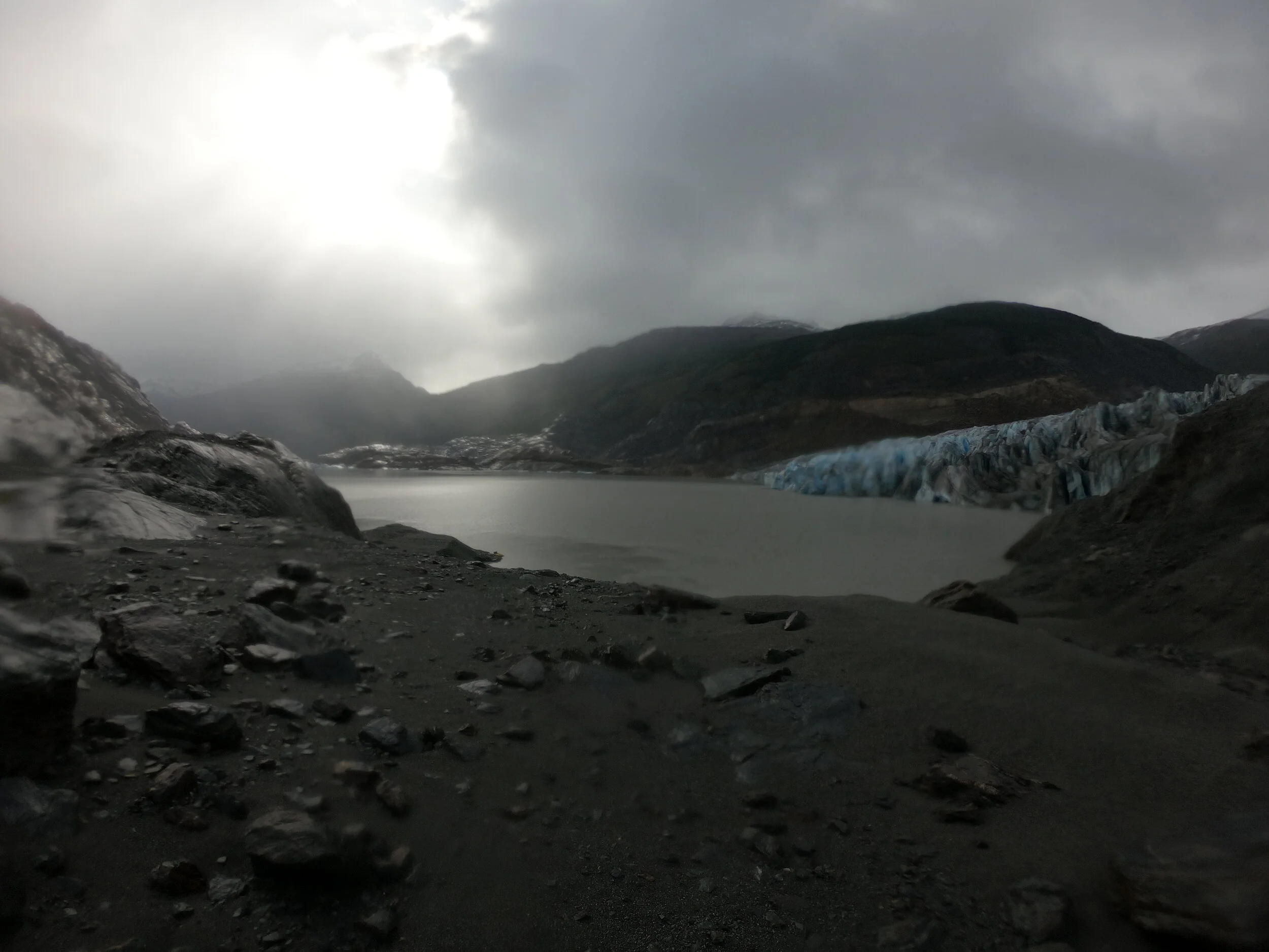
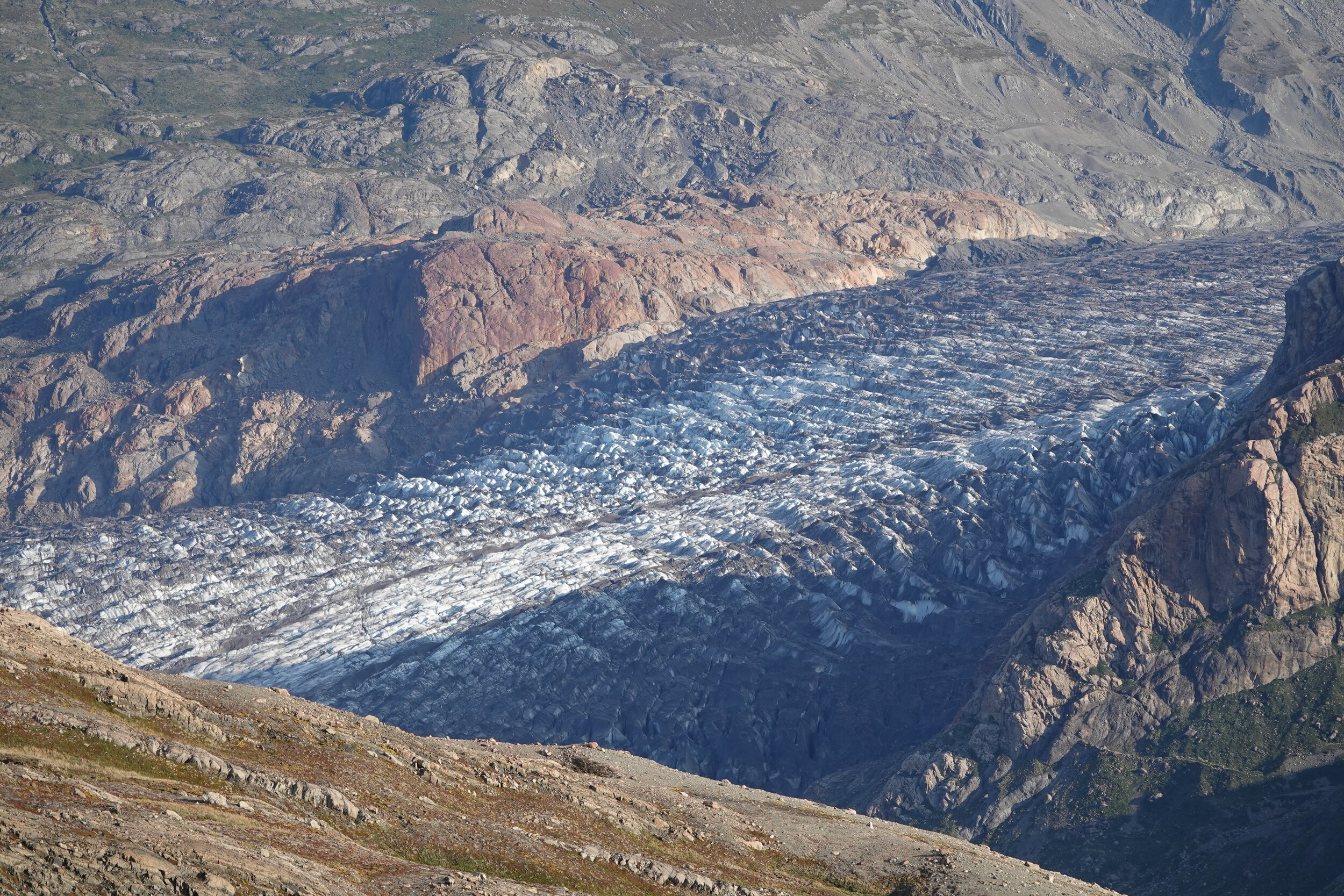
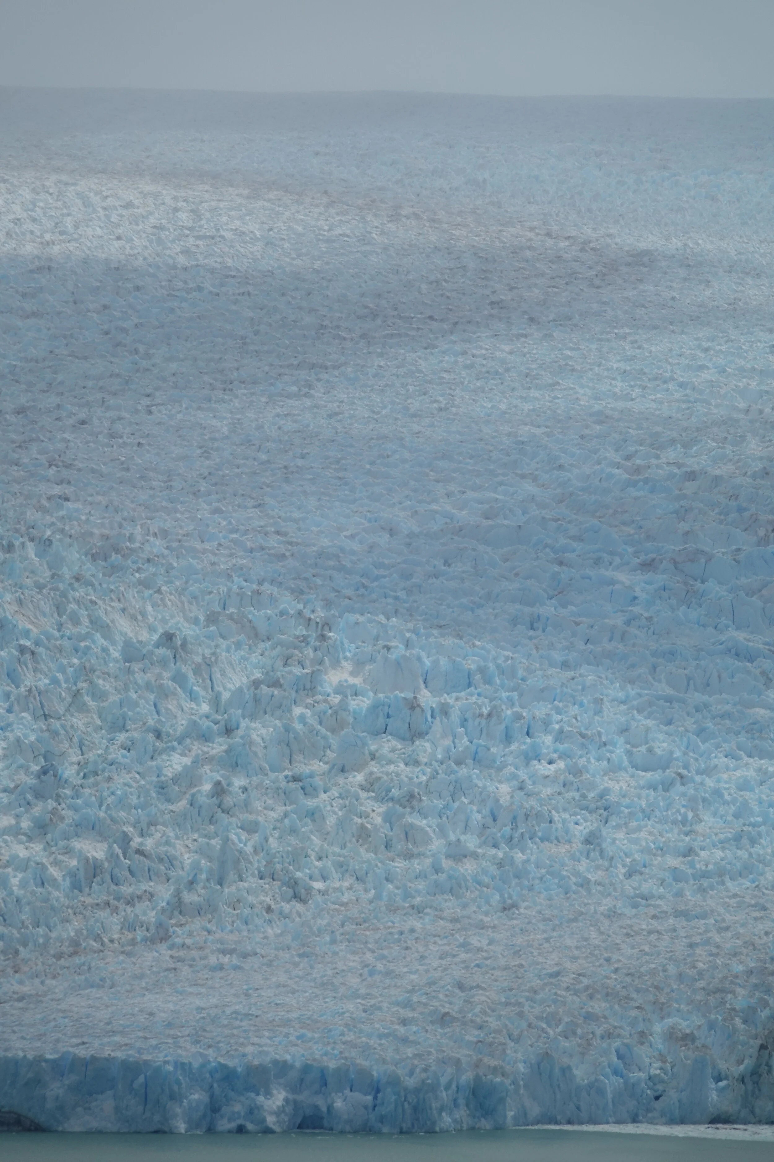
I stopped at the shore and kept looking at the map and where I was. Nothing made sense. The satellite imagery that I had loaded must have been from a long time ago and instead of glacier or water, all that was left is the gravel sediment.
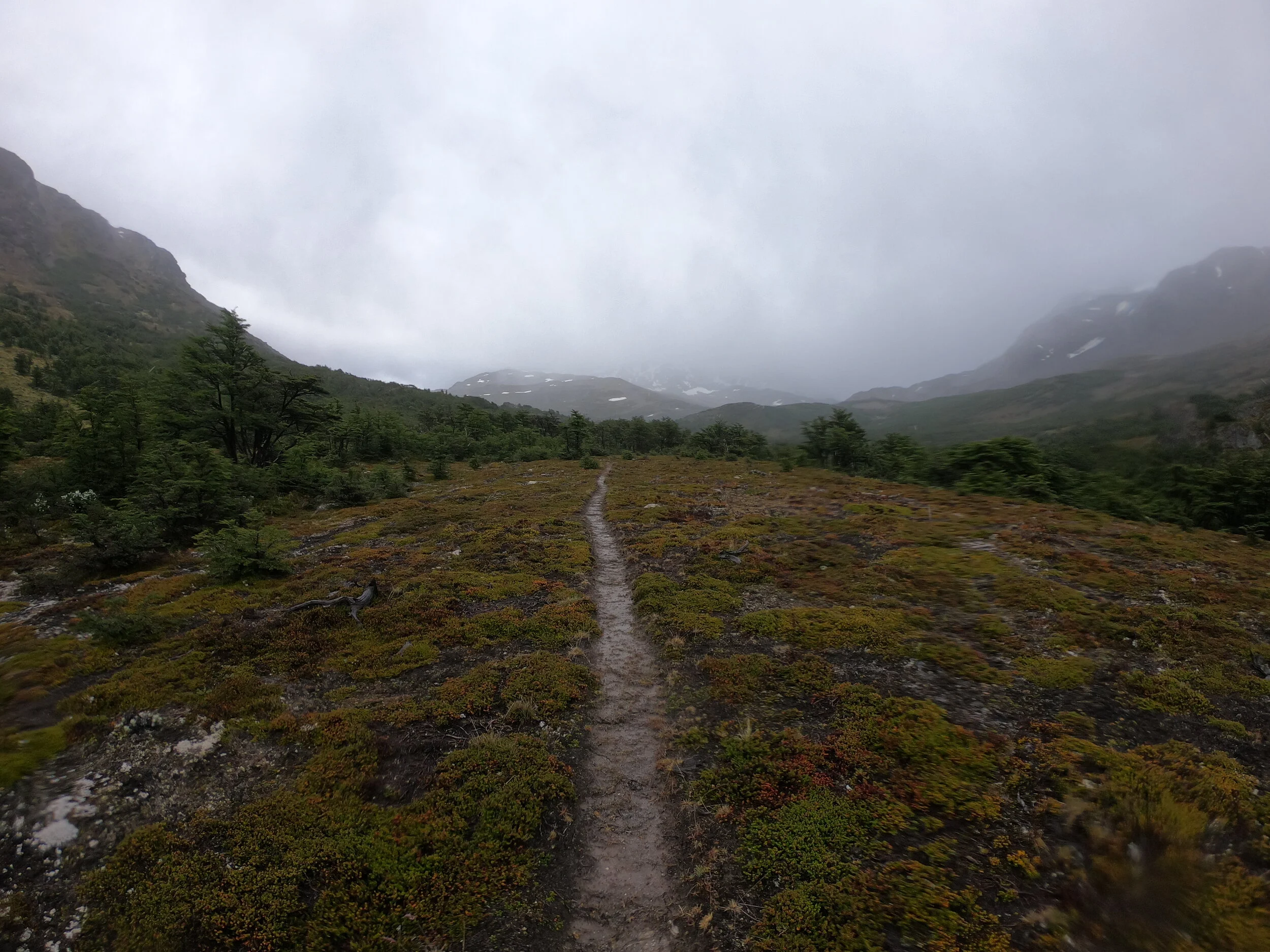
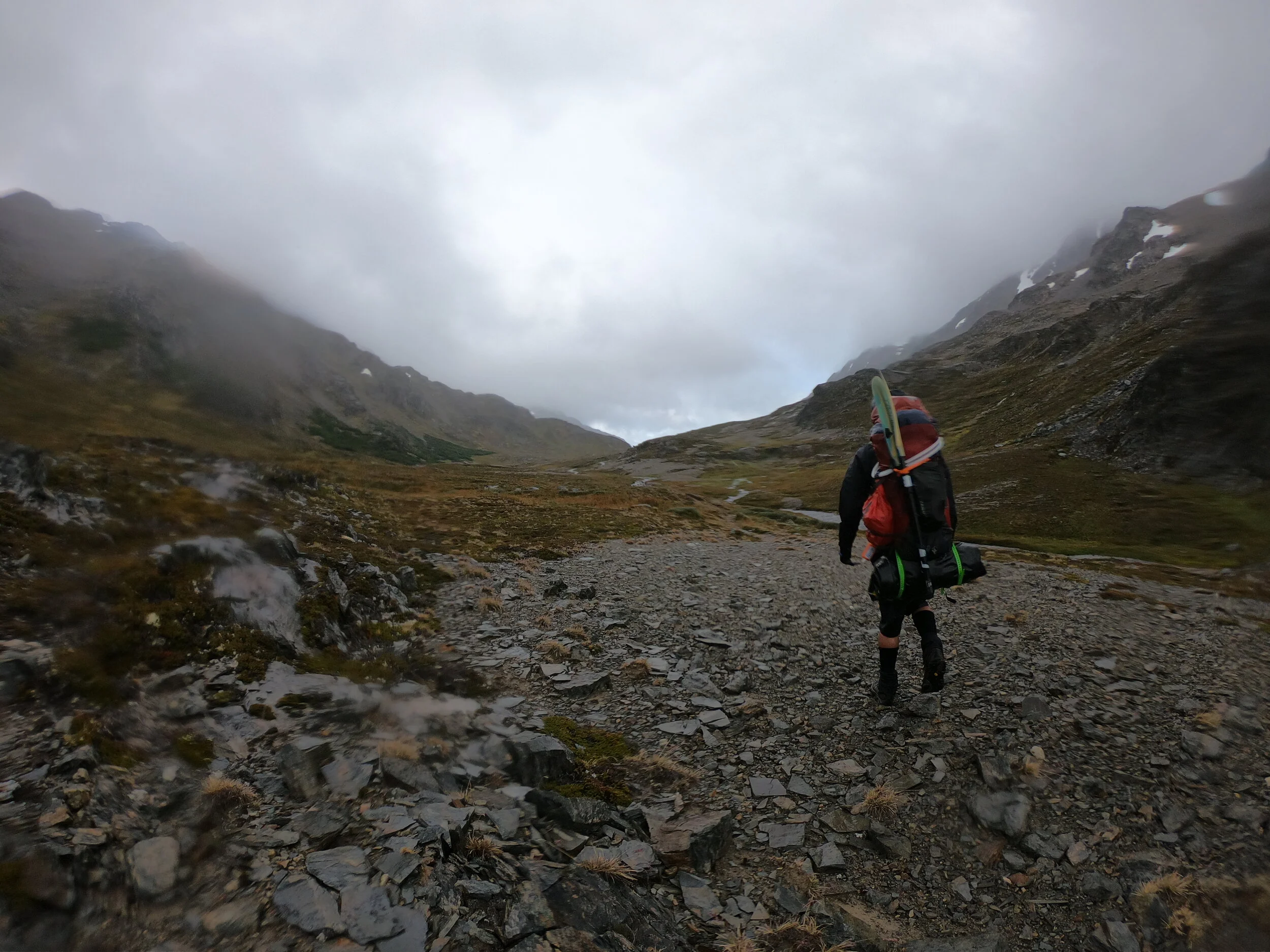
The morning rain had soaked me though the rain jacket and the “semi-dry top” and I had to keep moving with the boat to avoid getting hypothermic. I thought of setting up the tent to warm up but the winds just picked up so it was best to keep moving. A 6 year old military refugio was a great short break from the wind but it was in no condition for overnight stay. It said that this valley is called “Pyramid Valley” and I can see why.


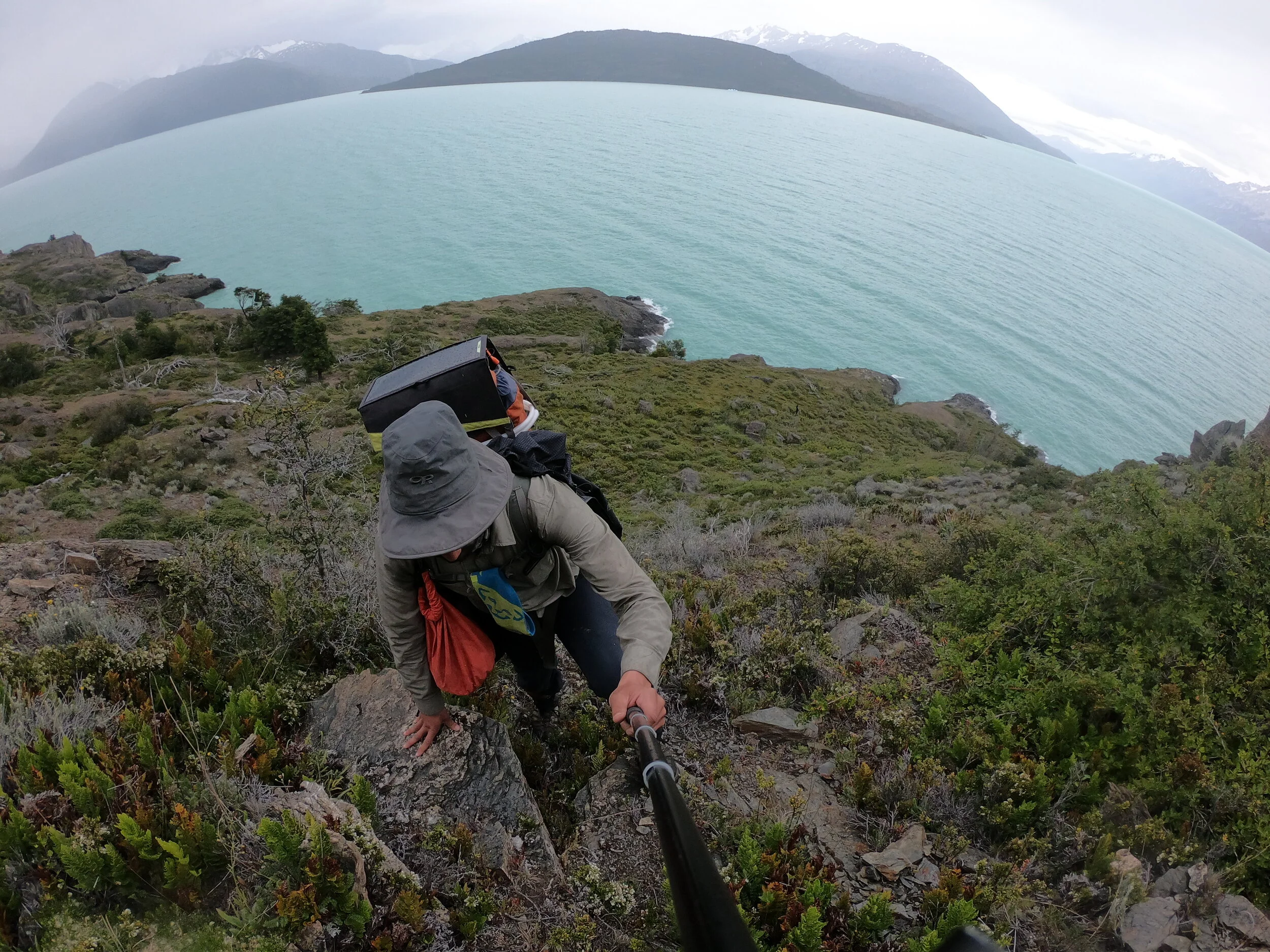
the climb was very steep and I was finally warm enough to remove the rain jacket & semi-dry top.

I was exhausted but happy. I knew one thing for sure, there will be no more 5am days, no more scary sections of lake and from here back to the border post and toward Argentina, it’s all on land.

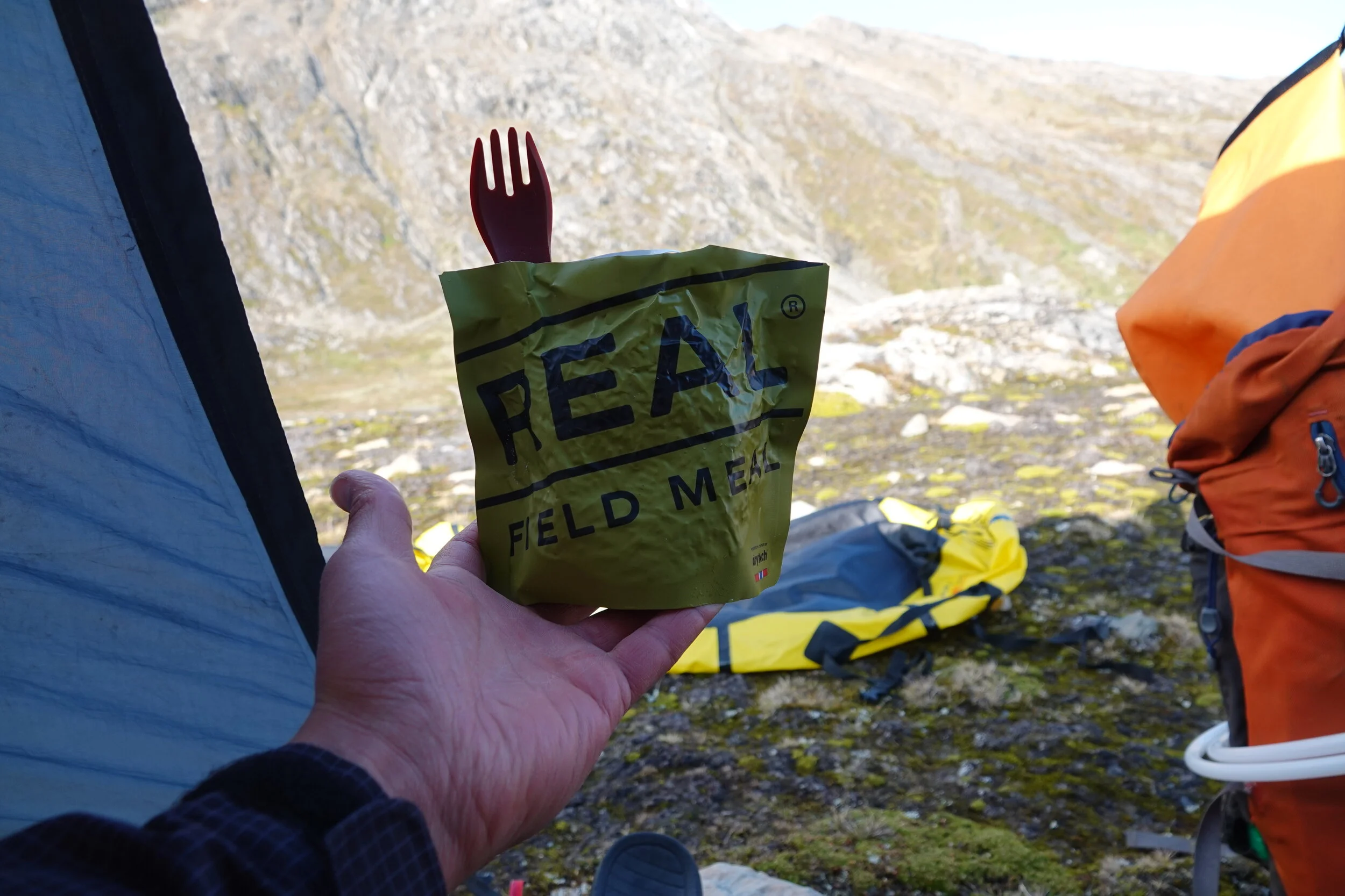
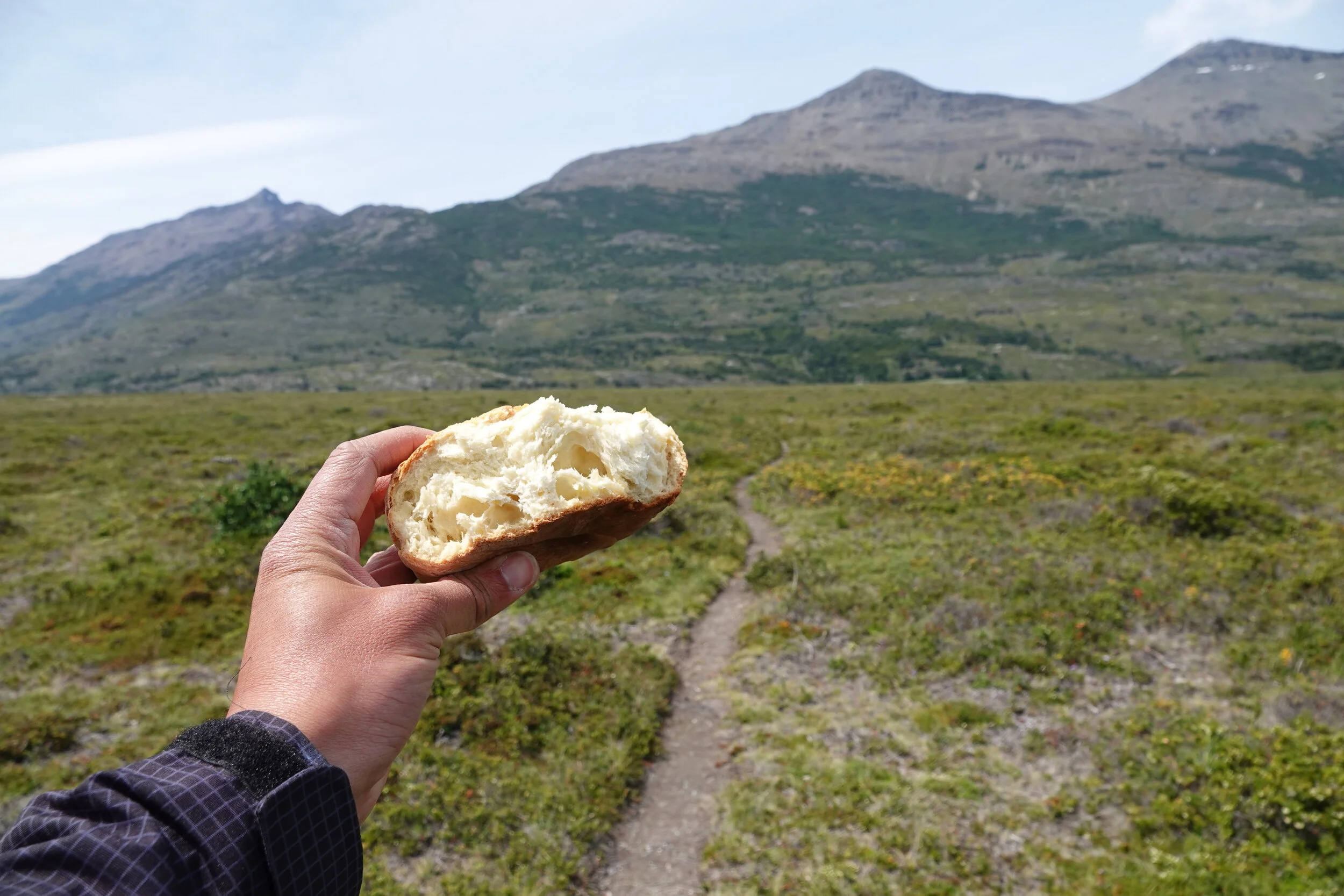
Food was low and I was finally opening one of the two dehydrated meals that a dutch hiker gave to me. Let me tell you the europeans have their stuff down! Meal is already vaccuum packed and has a second tear line so that you dont need to buy an extra long spoon to eat it.
it was a great scenic site at the cost of being too windy but it was the best wind cover I could find.
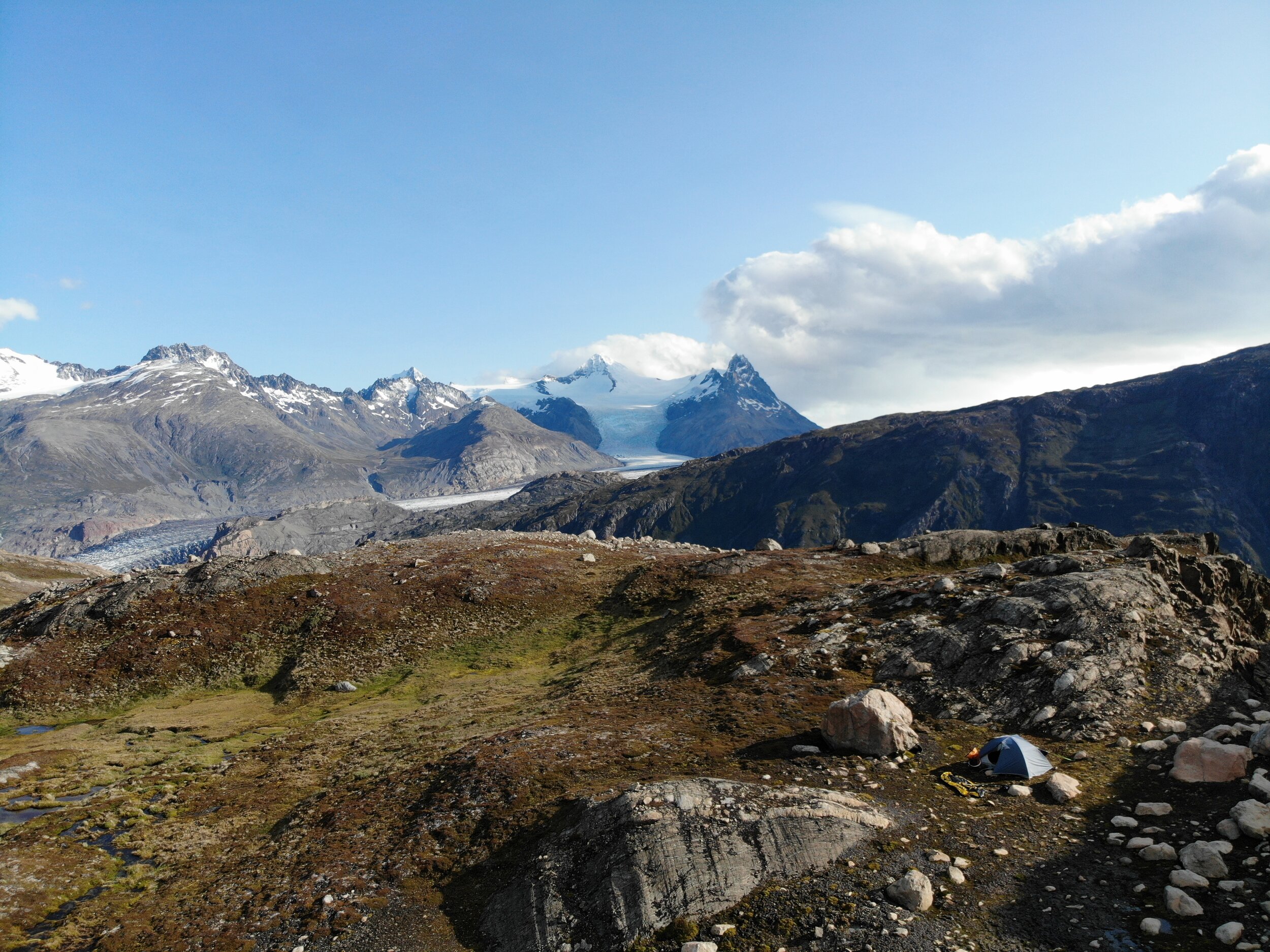
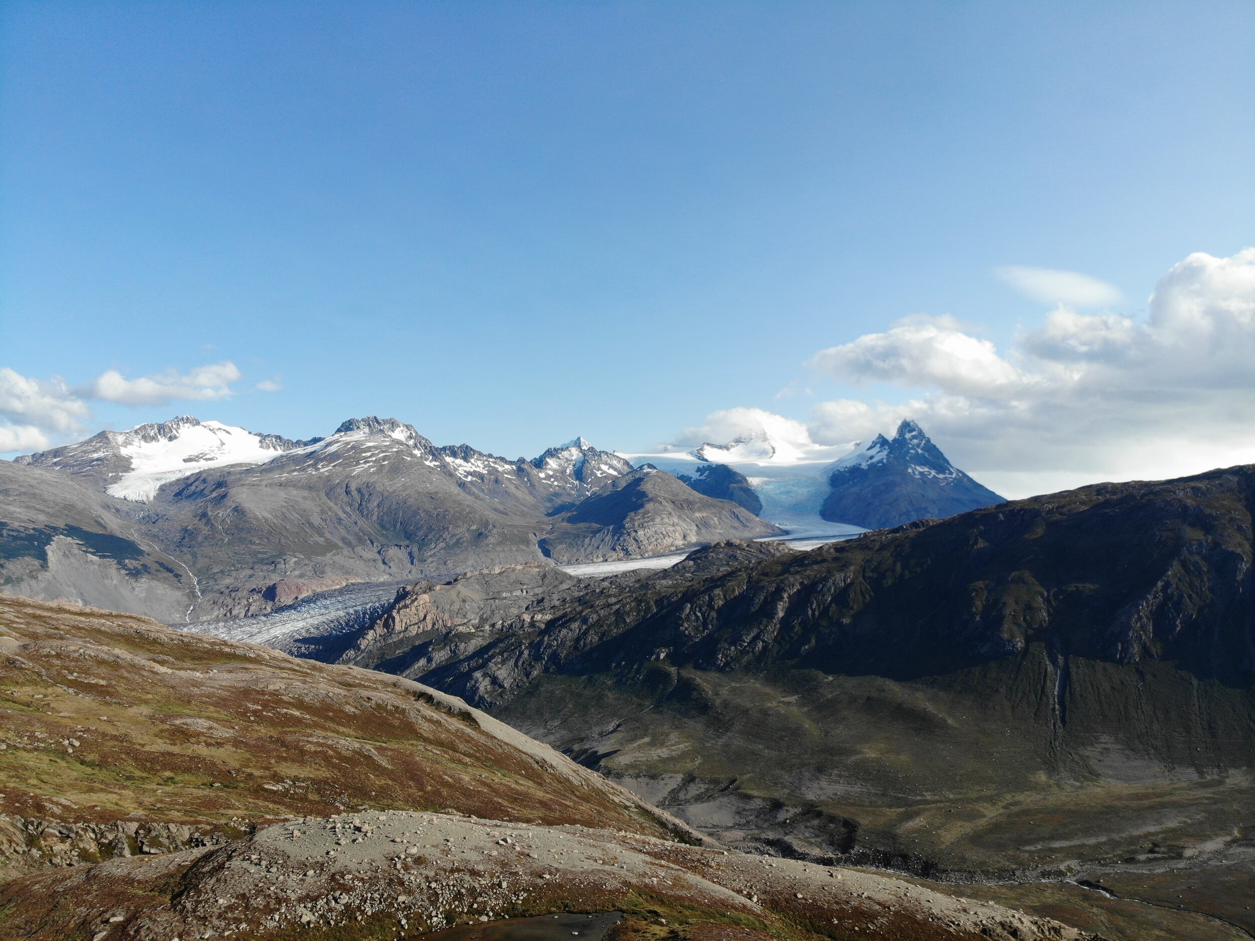
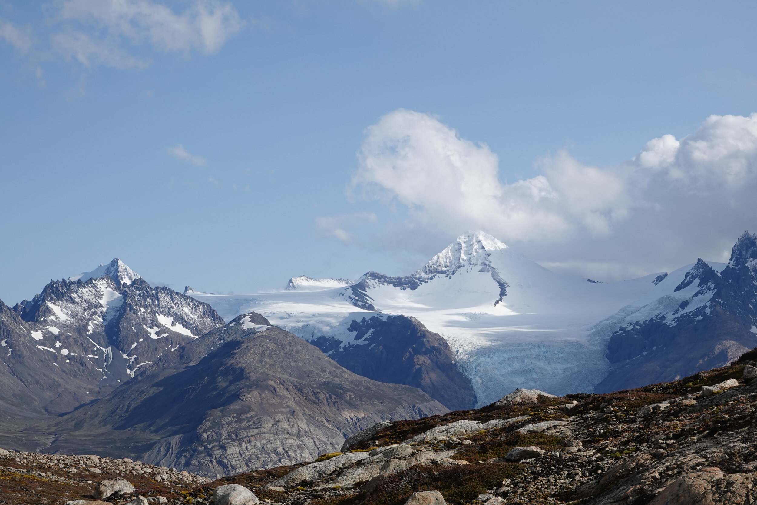
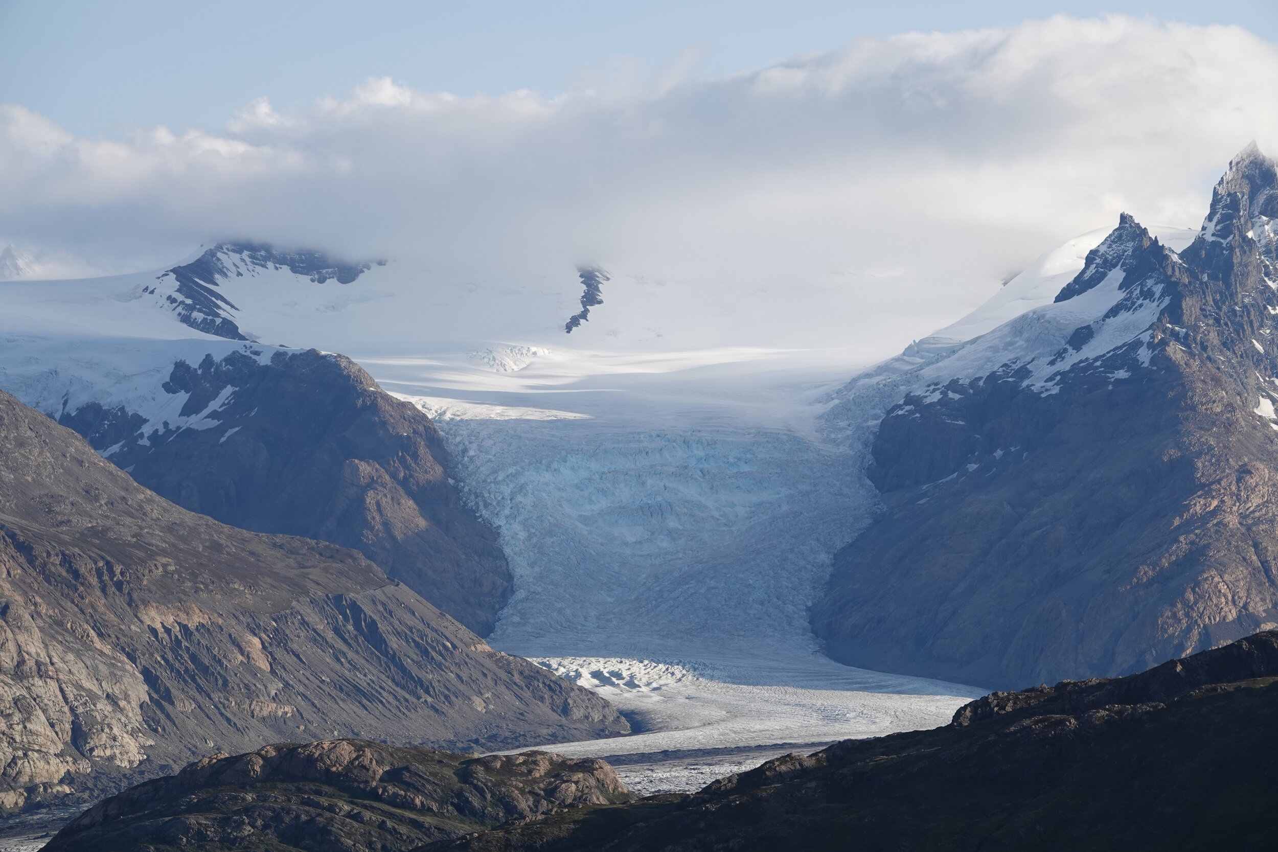
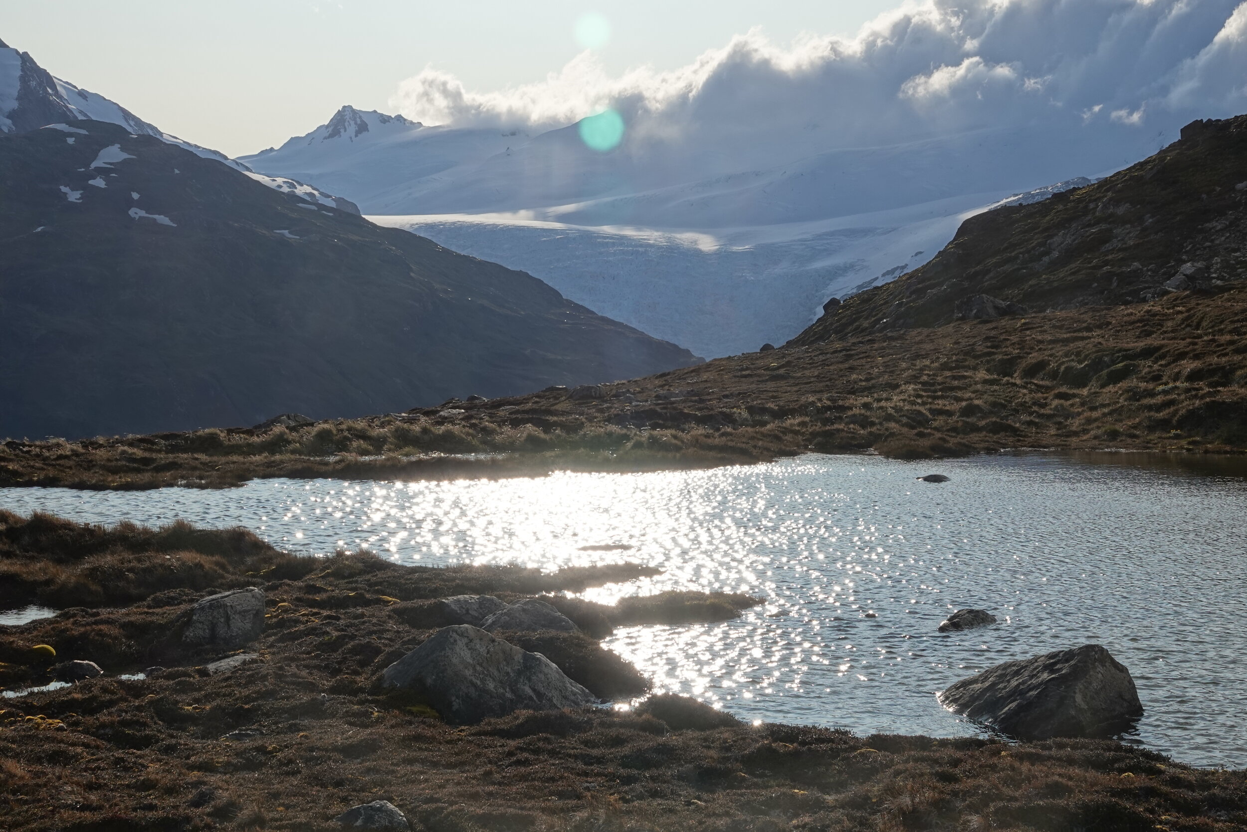
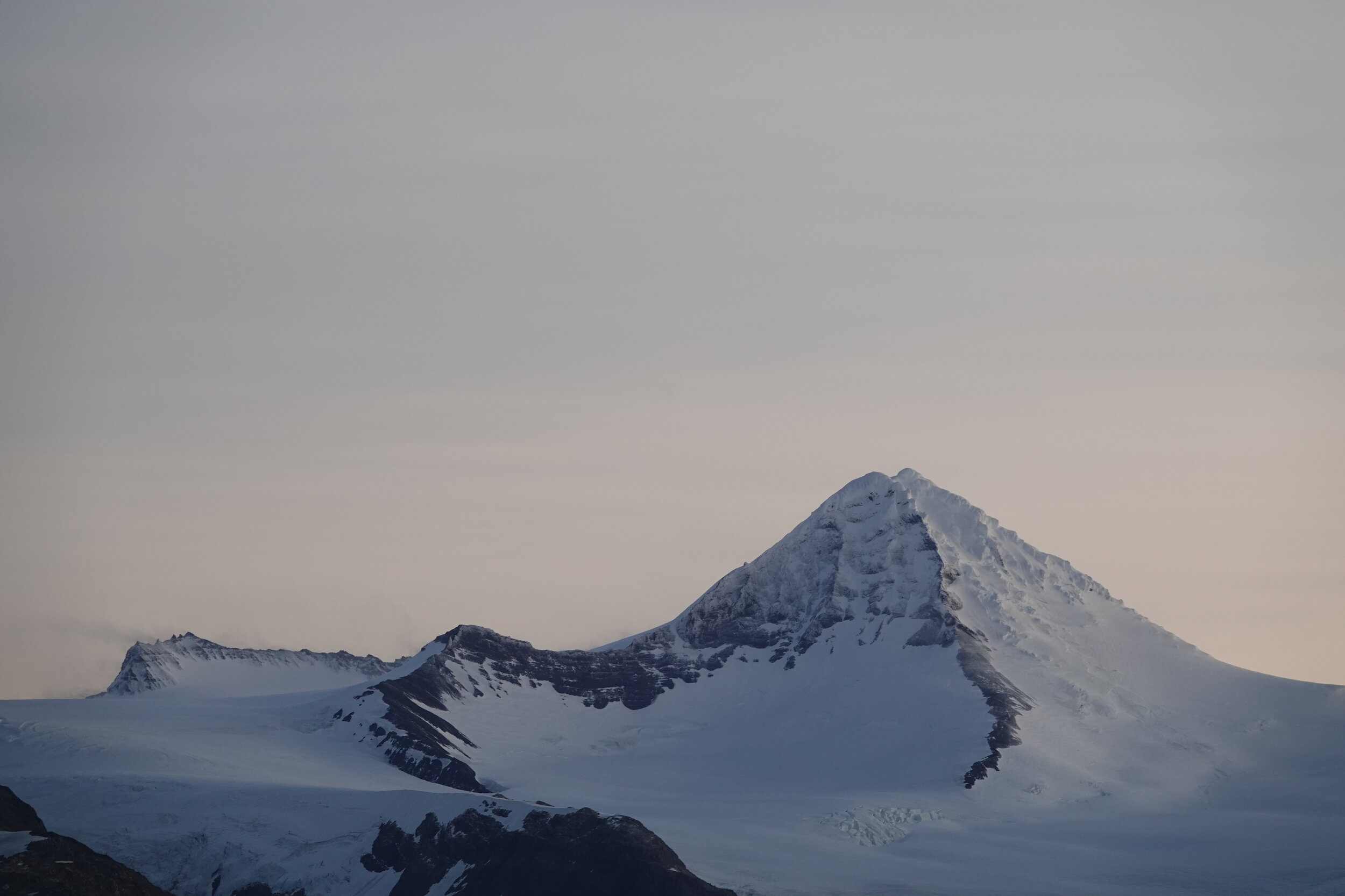
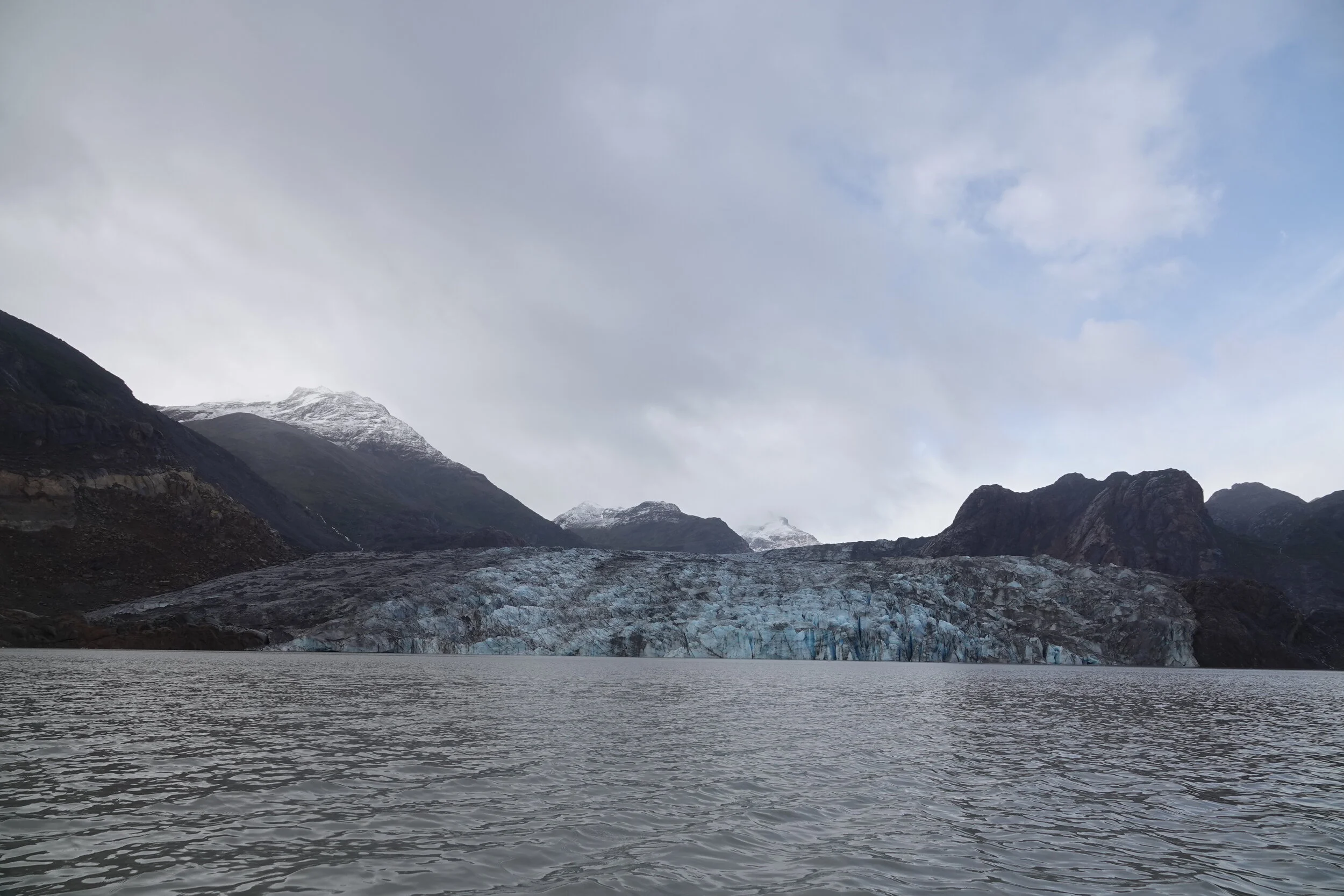
On ~day 19 i think it is finally time to see Glacier O’Higgins
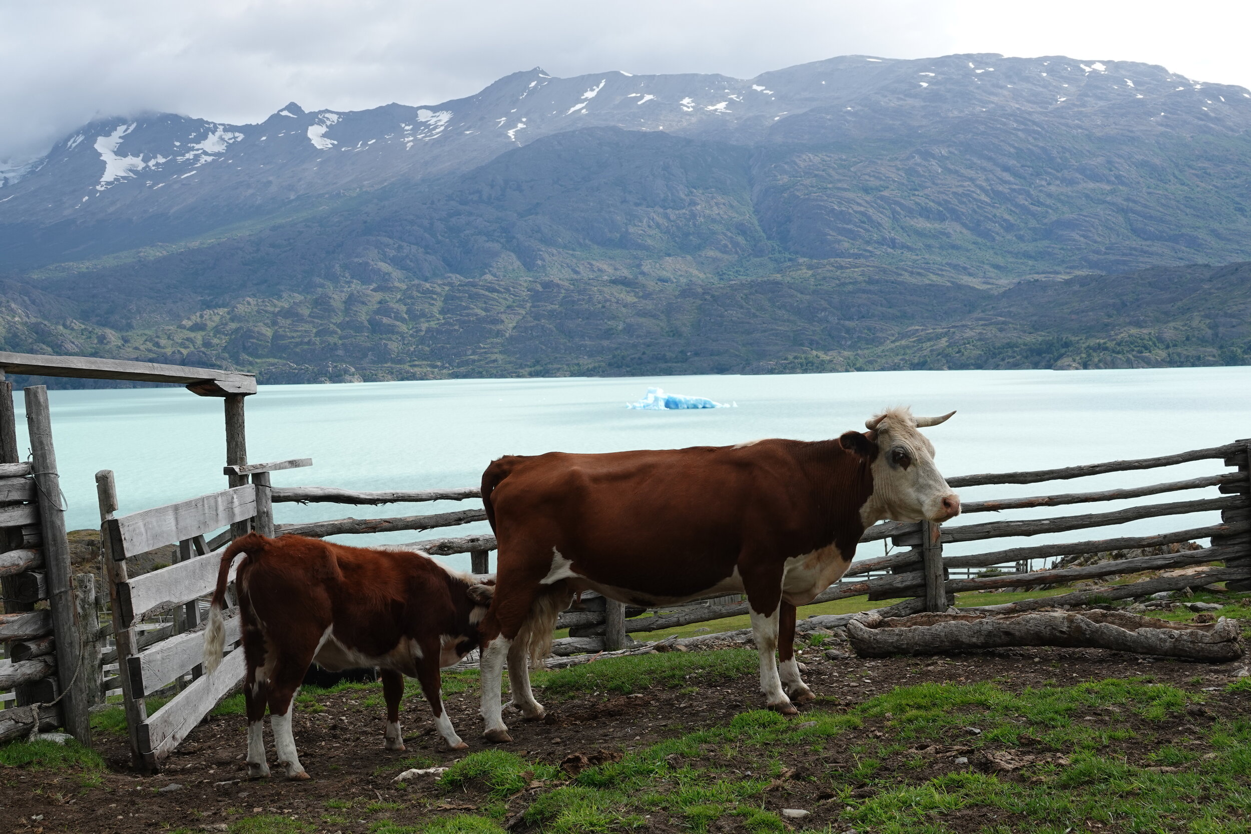
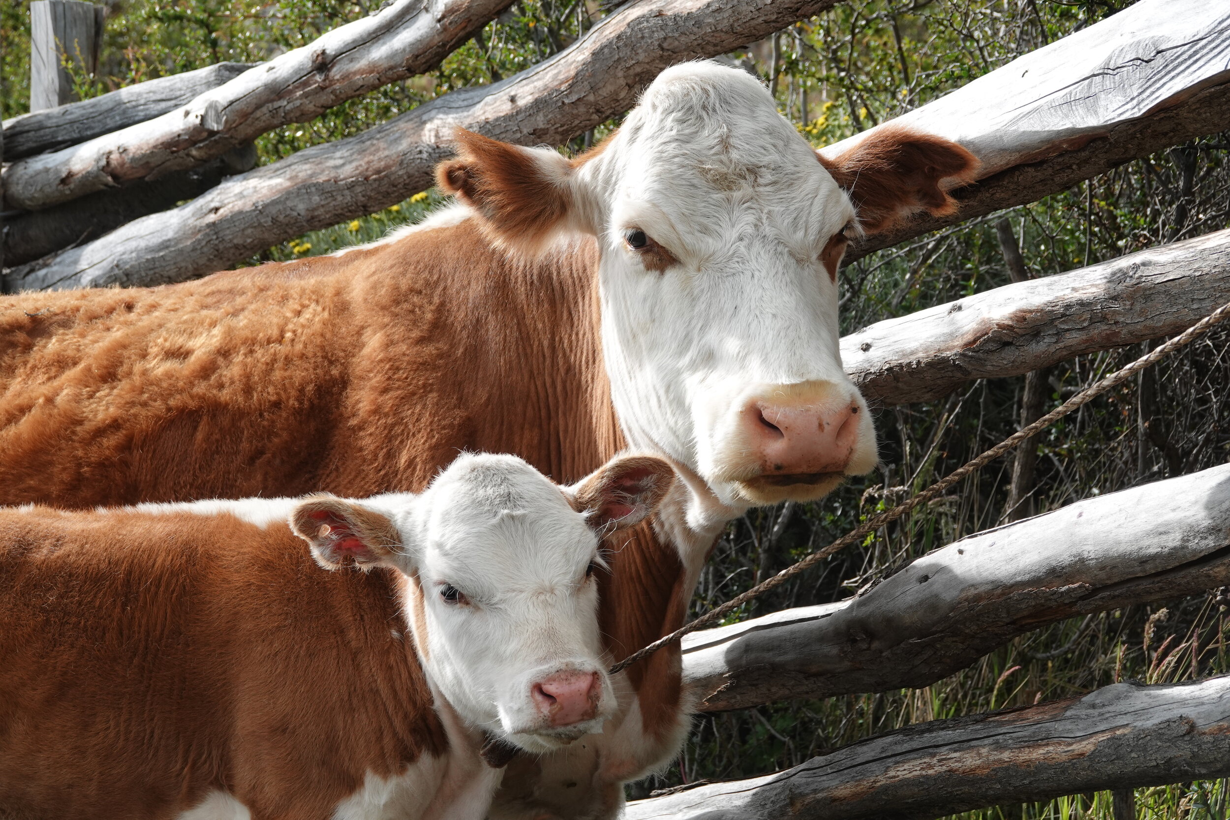
and a bunch of cattle led the way and helped me find something that looked like a trail

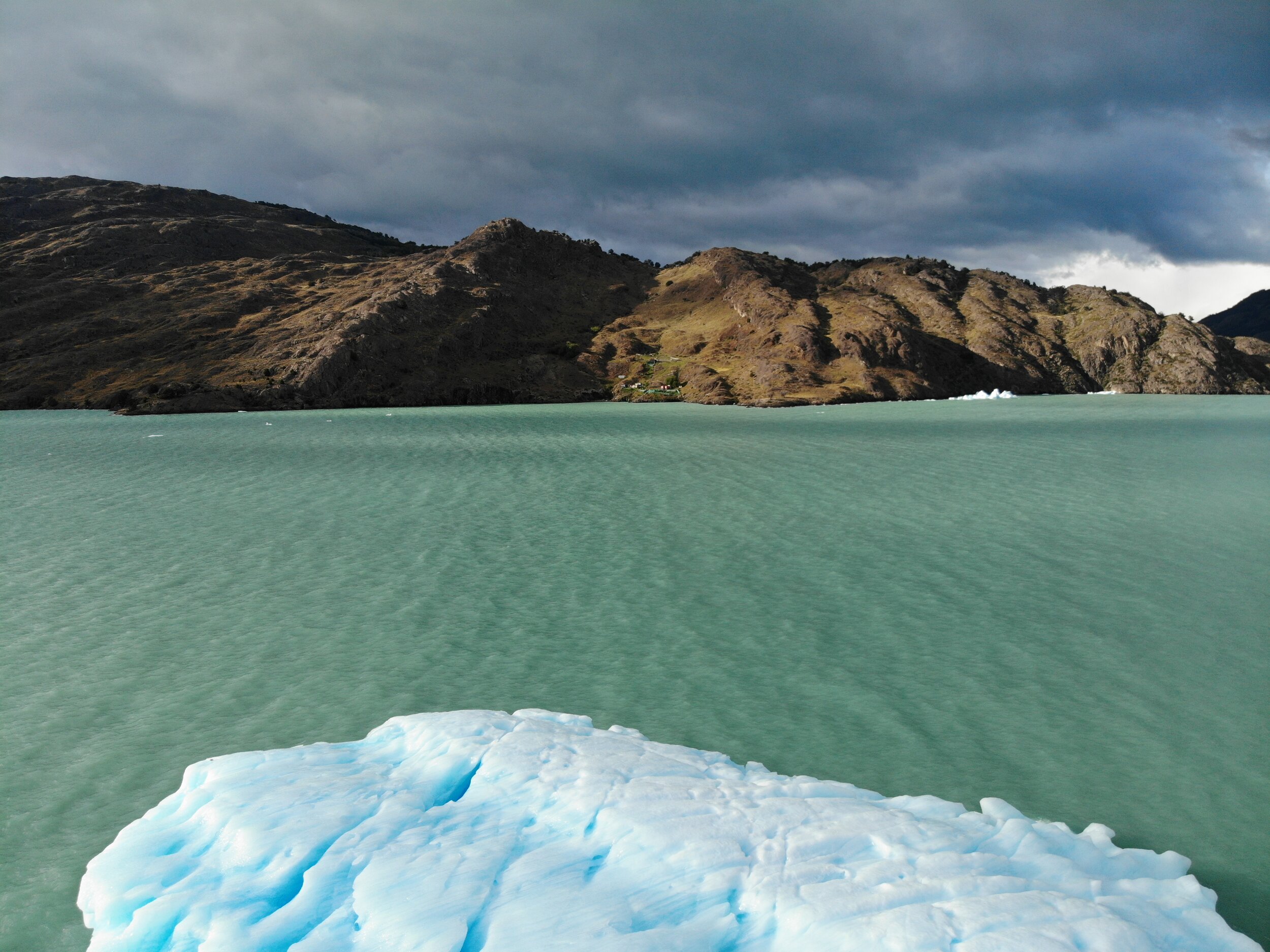
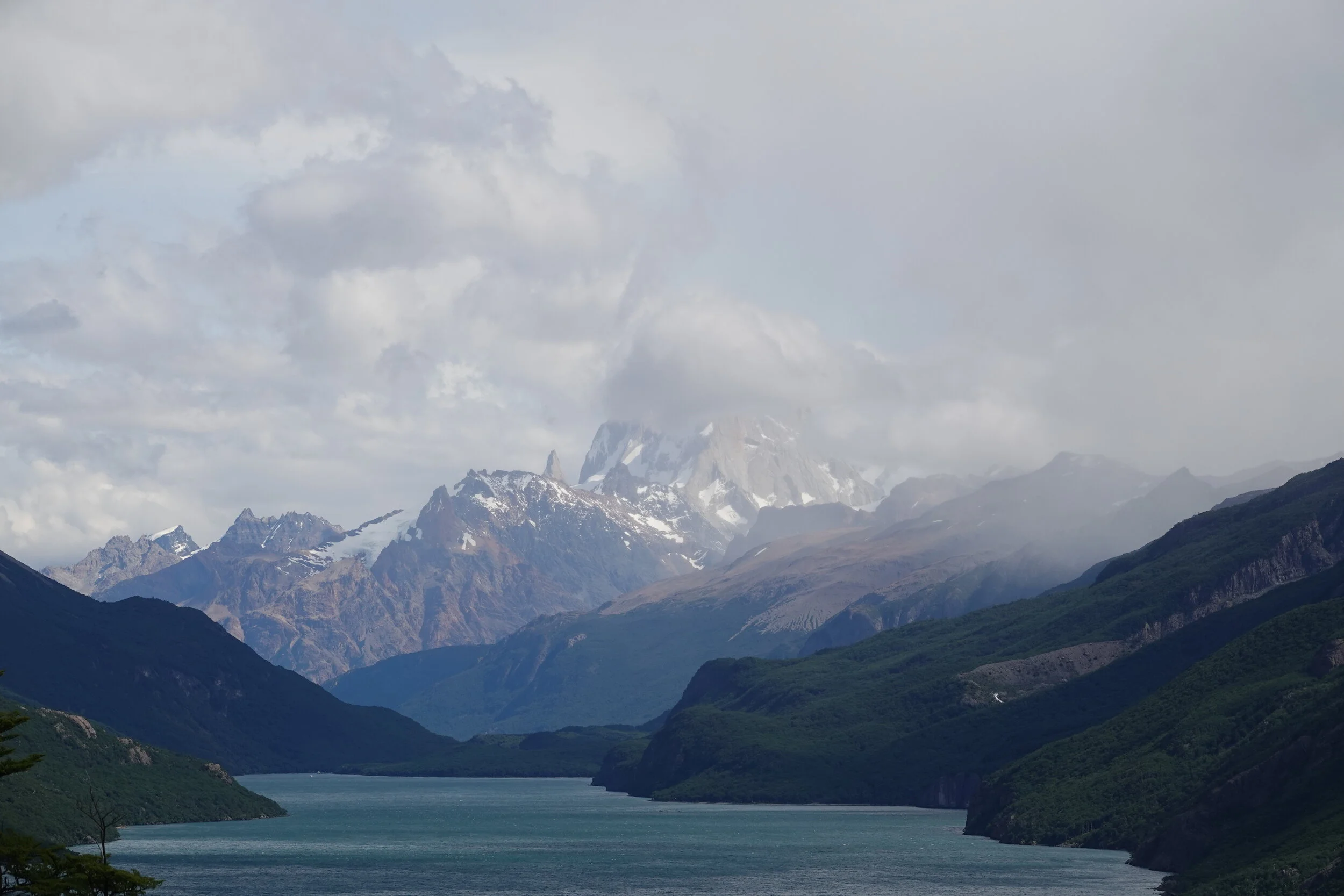
and without anything to compare, it is hard to judge the size of the glacier and a little arm of the southern icefield behind.

the trail was in great condition and some of the trees offered a nice break from the wind.


back near lake Chico I met Luis and was able to buy some bread and eggs.
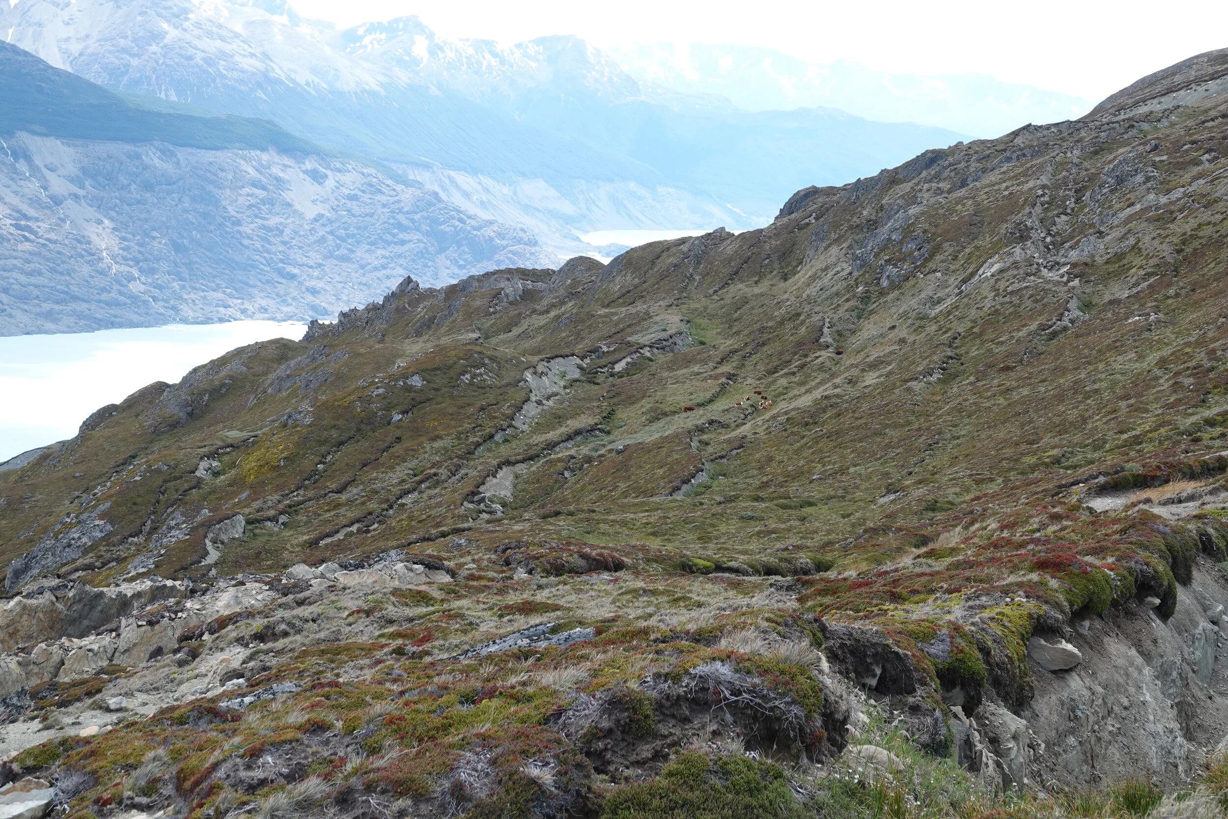
the return to the border post would be via less used but more interesting route along the coast of the lake. This is the photo of the map I had

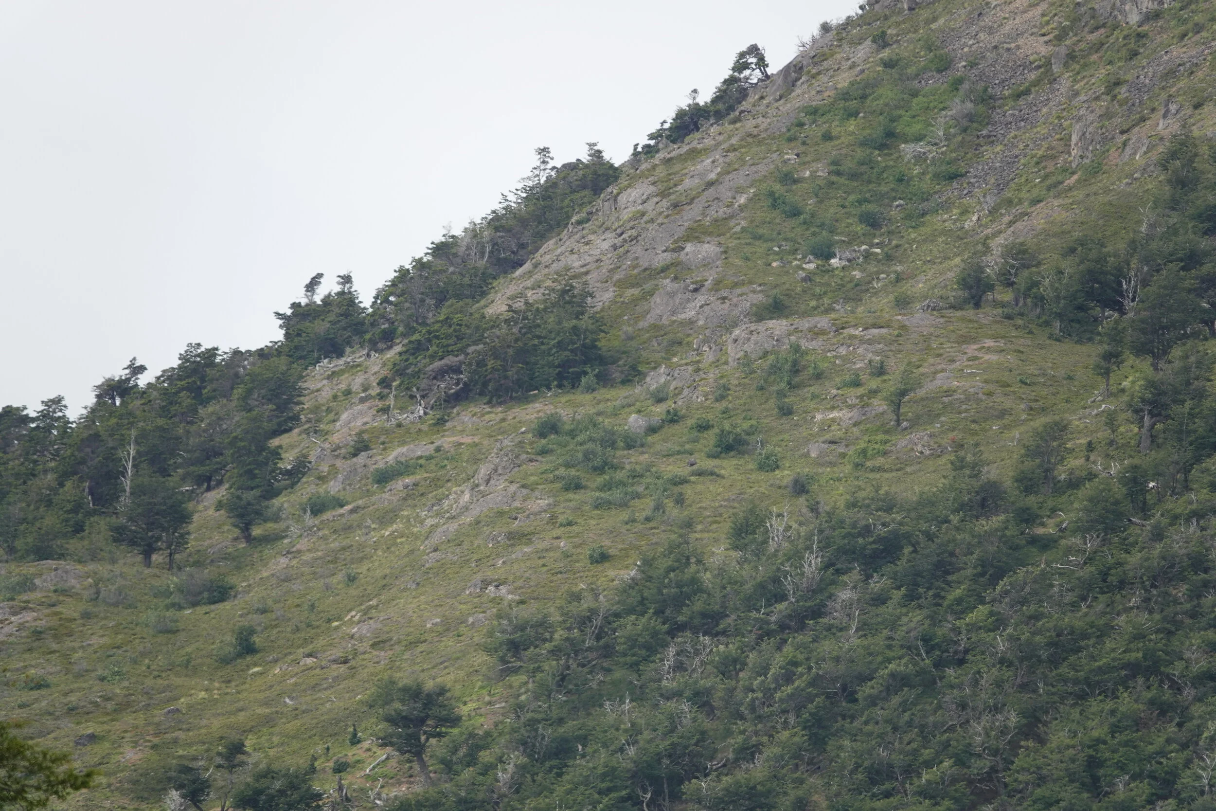
That peak with 520m elevation seemed like a bad place for a trail and it was. There was no trail


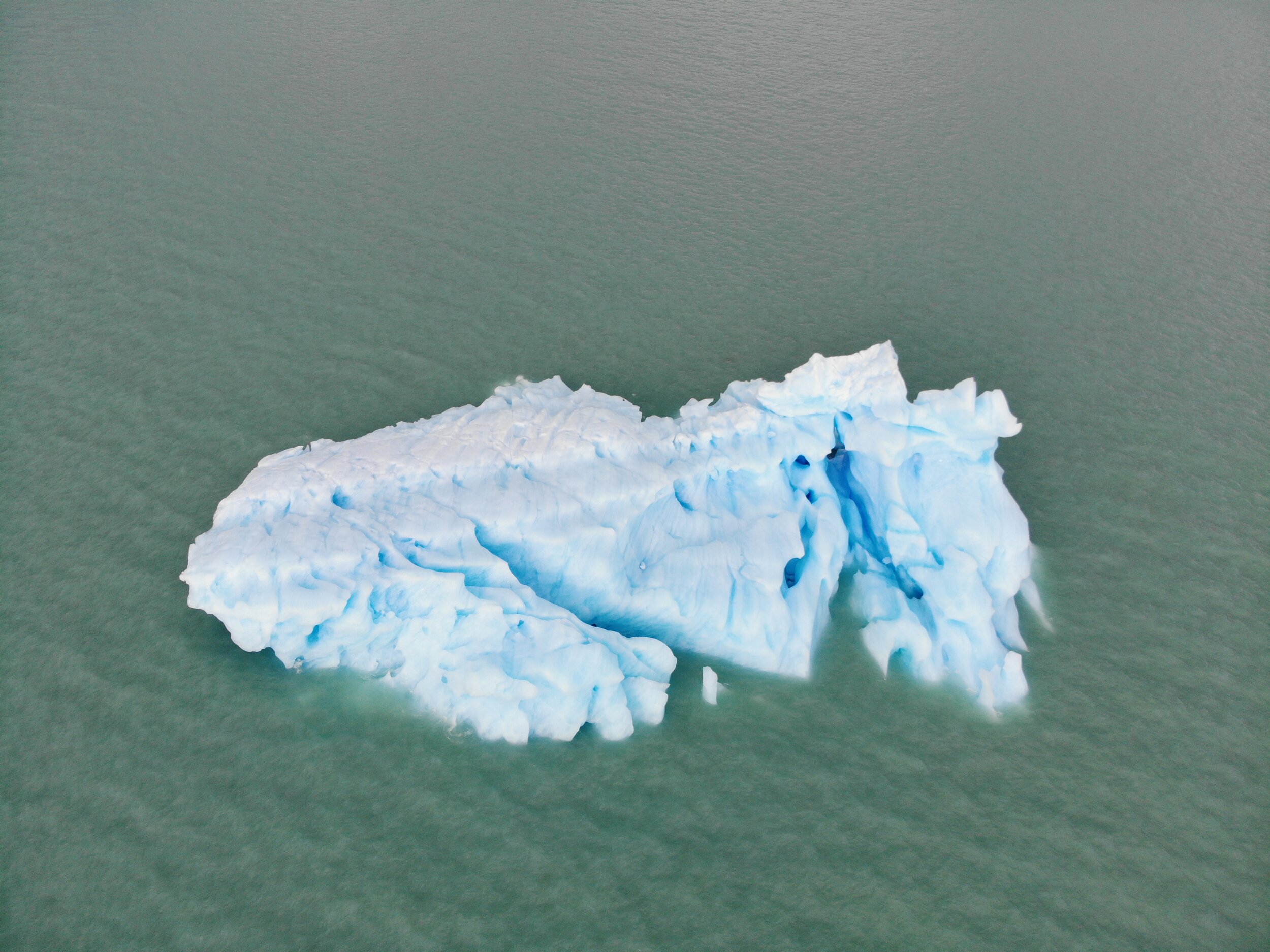
it was looking like I was making about the same progress as that big iceberg I saw the day before yesterday
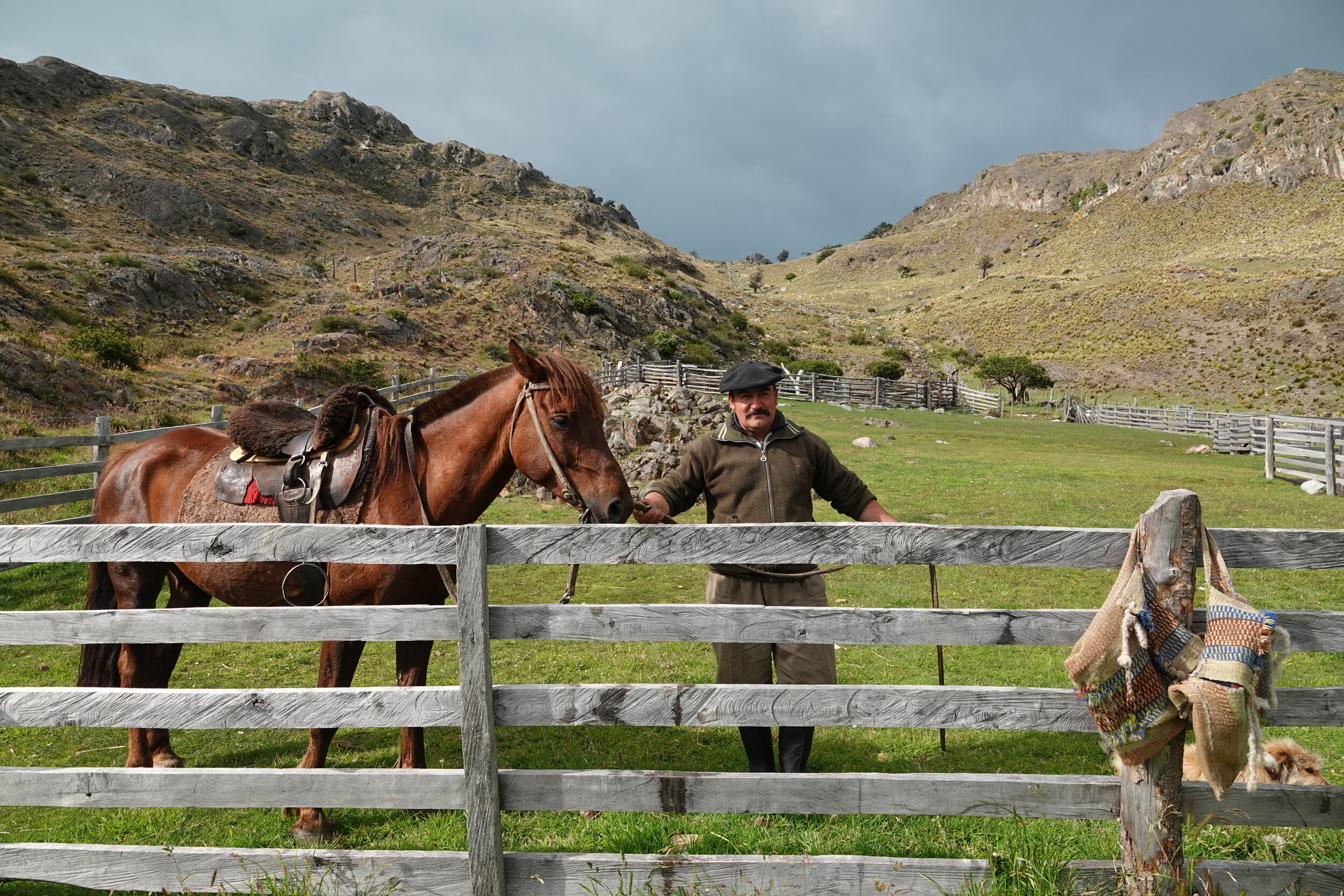
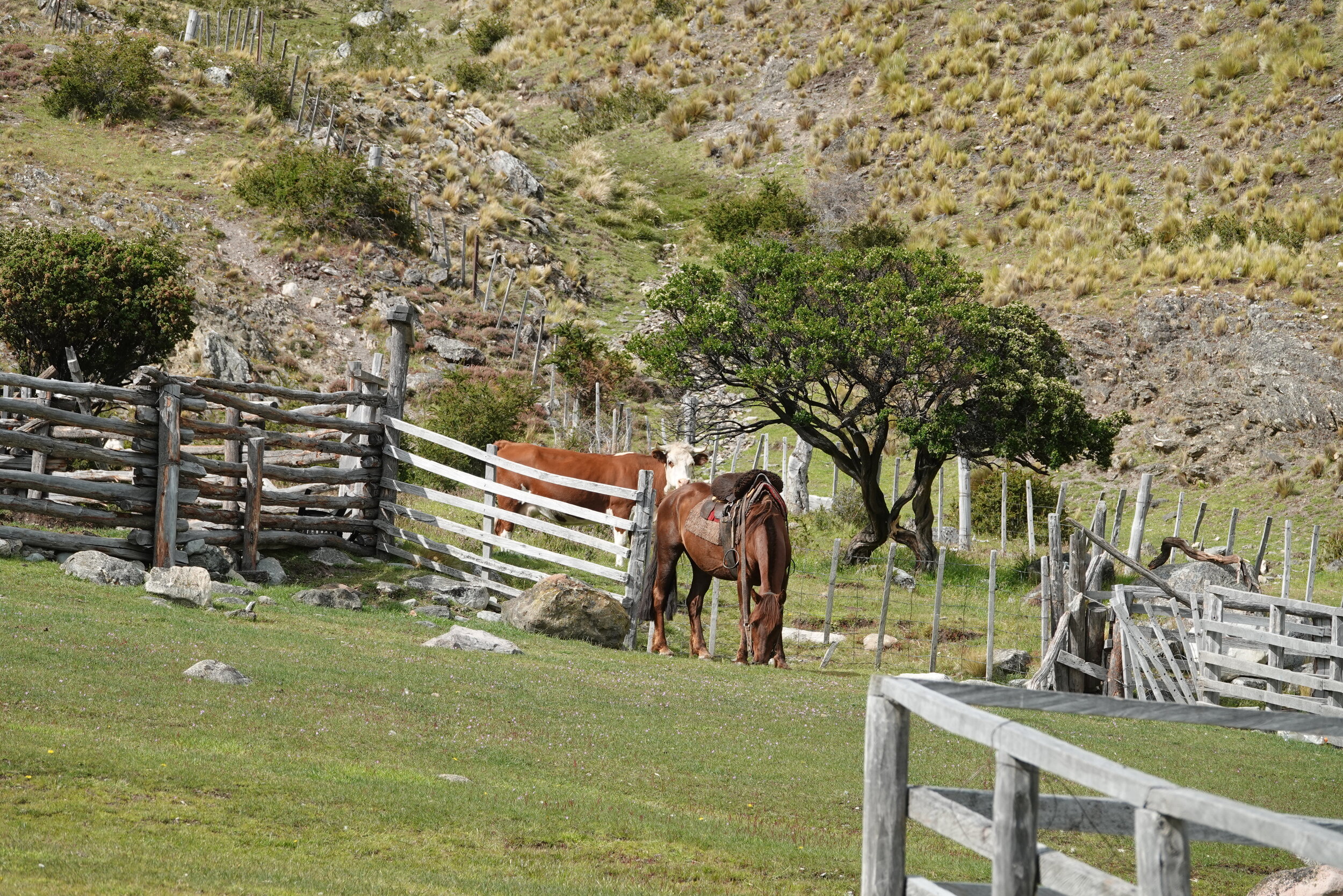
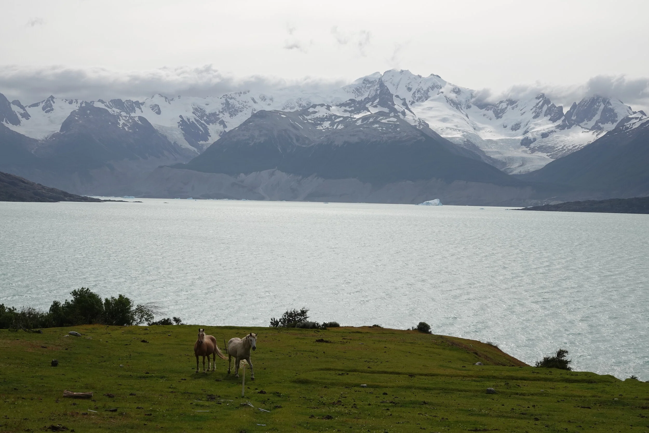
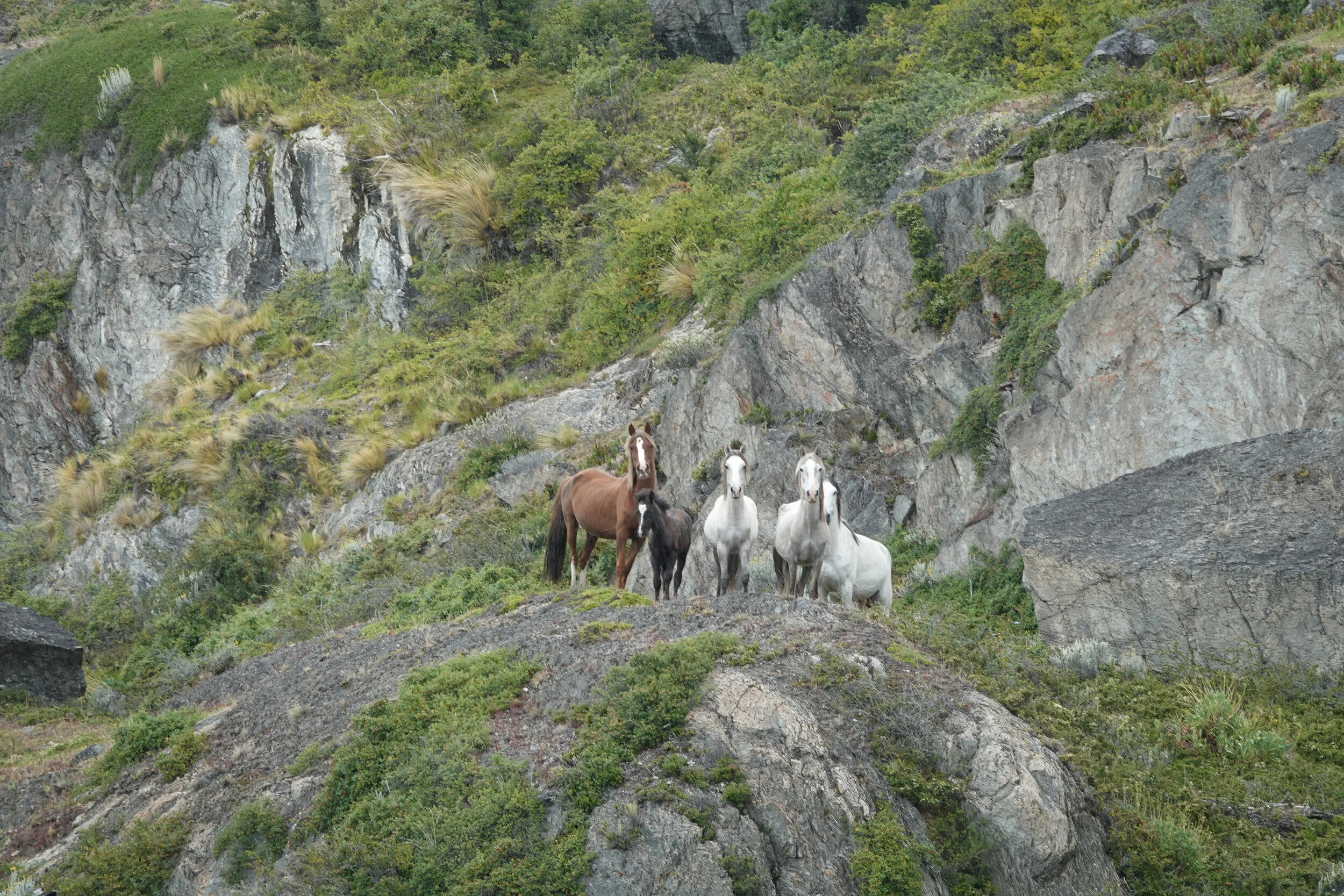
Some horses took note of me and I of them. They must not get many visitors frequently, especially ones talking to them in English
The trail well, I just pick my own route at this point. Chasing a line on a photo of a paper map that may or may not exist is not a great idea
Still better than being in the water though
I find a great camp, eventhough its a bit of a fight with the bush to reach some water
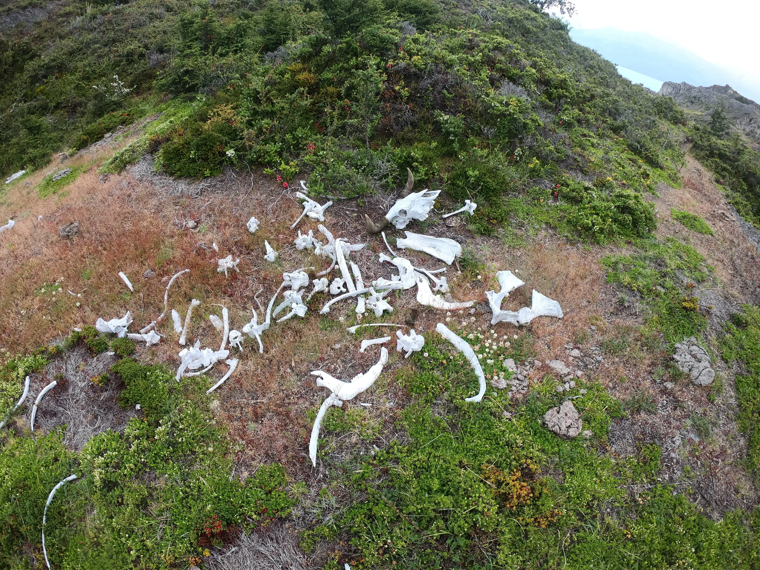
that 520m hill on the map above was one impressive rock if I had more time getting to the top would be interesting.

I fly over a part of my route tomorrow but aside from faint cattle trails that appear and disappear, there is nothing.

with a whole bunch of hard boiled eggs I am ready to face another day in the stone and calafate maze. The wind was reasonable in the morning to take some photos with the drone and try and see where the trail goes.

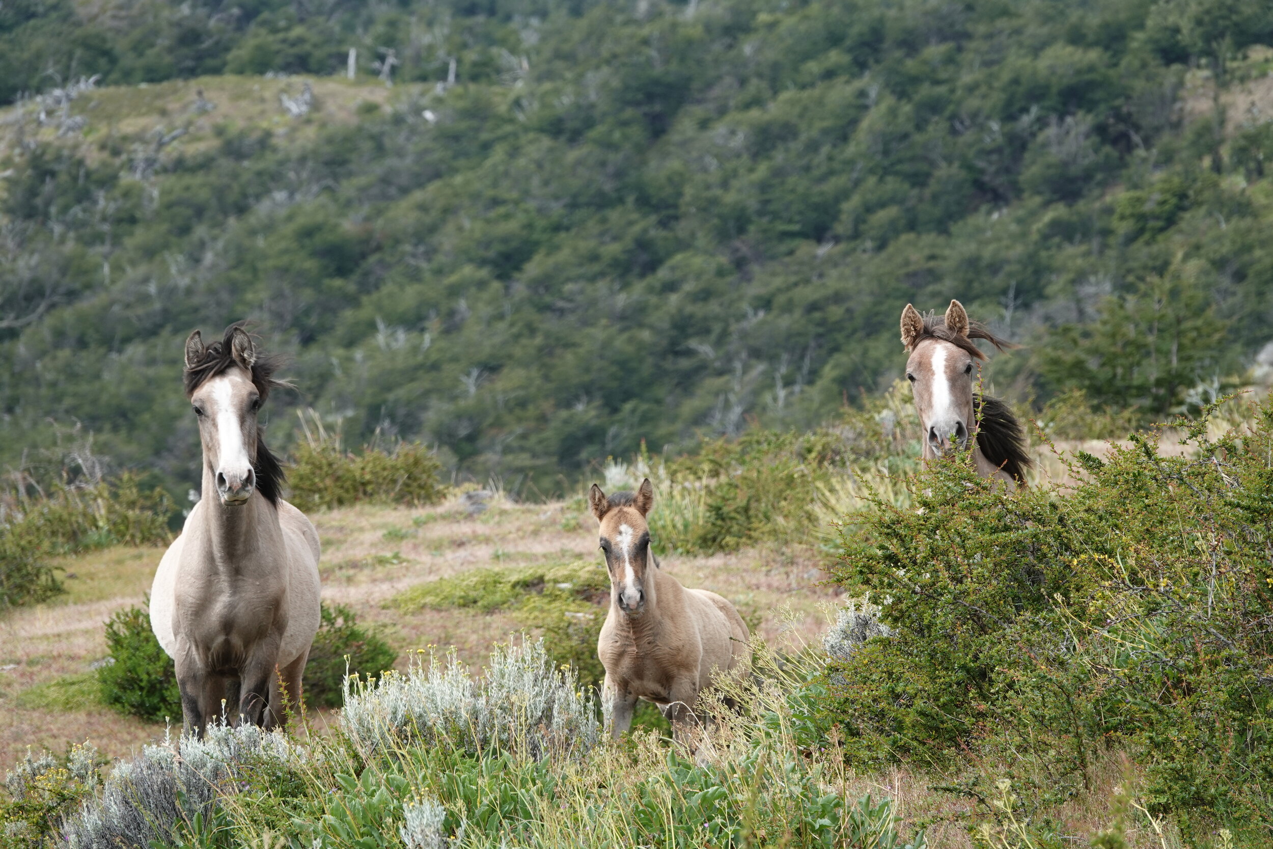
These horses did not seem to know the way either

I sometimes stopped and thought how much harder it would be if I had my bicycle here
There was an old refugio and a sign that the trail might improve

but there was still a long way to go


The sound of a motor breaks the morning silence, its the army making its patrol of the lake

This time at the Carabineros I get greeted with a policemen that I met when the boat dropped me off. We get chatting and he has actually been to Pyramid Valley and the area on training. I can also use the internet there and there is a beautiful instant coffee breakfast with dulce de leche (caramel spread), butter and jam!
before I leave I share the photos and videos i took of their boat and on the old desktop computer I check on few things including talks with Fatback and Chris Murray (elevation wheels) and it looks like a go for the new bike frame & wheels. I book a flight to USA for march 11th, just 5 days and then I’ll be back in Chile in no time. Then I will get to ride to Ushuaia in few months before winter hits in south america and on to Europe.

I take off just as many tourists come in. It has been a very nice morning and the ferries were able to run. It’s a beautiful day to walk to Argentina!


I tag along the cyclists for a bit and think about doing this route with a fatbike in april before the border closes for the winter season.
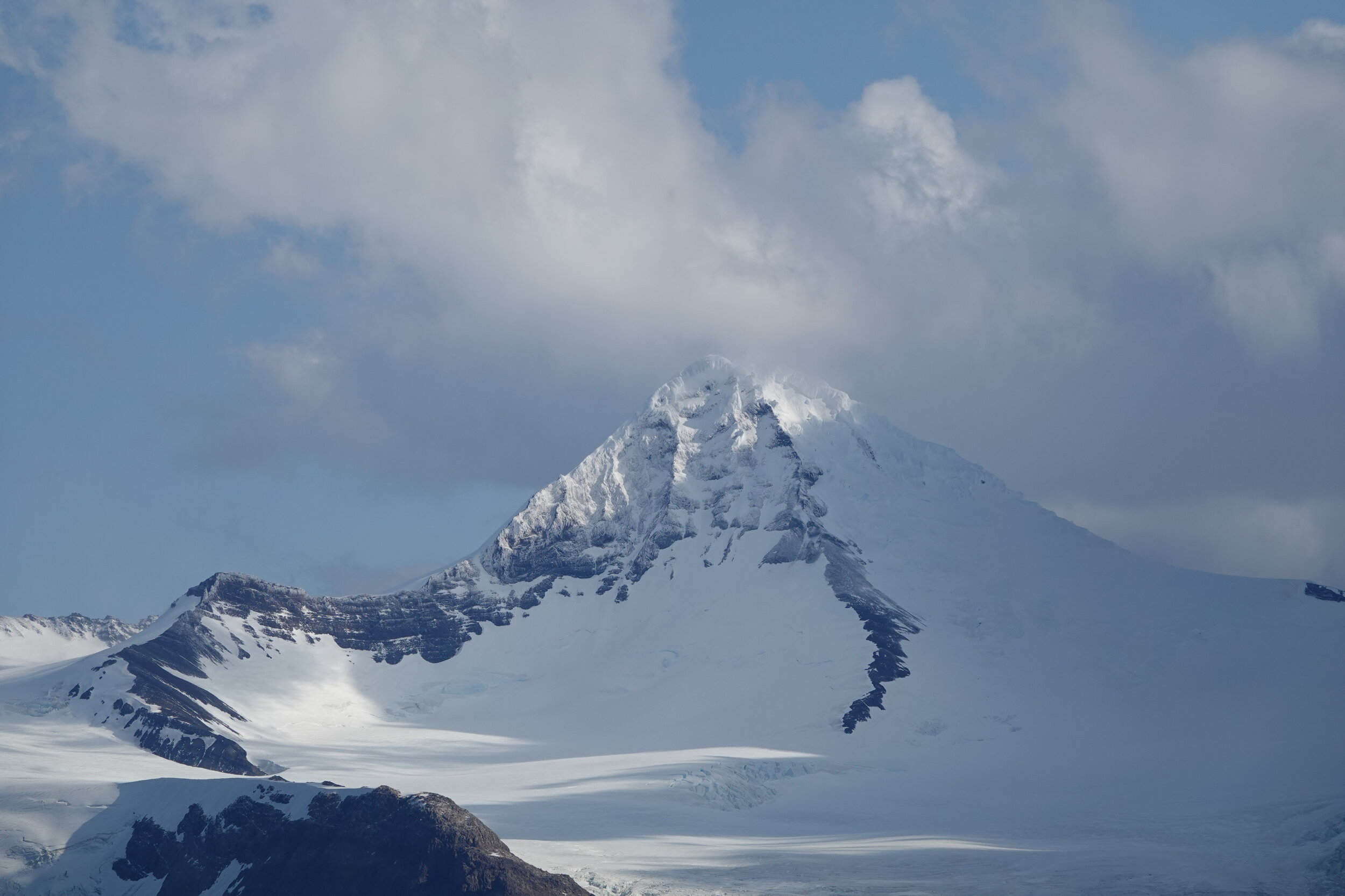
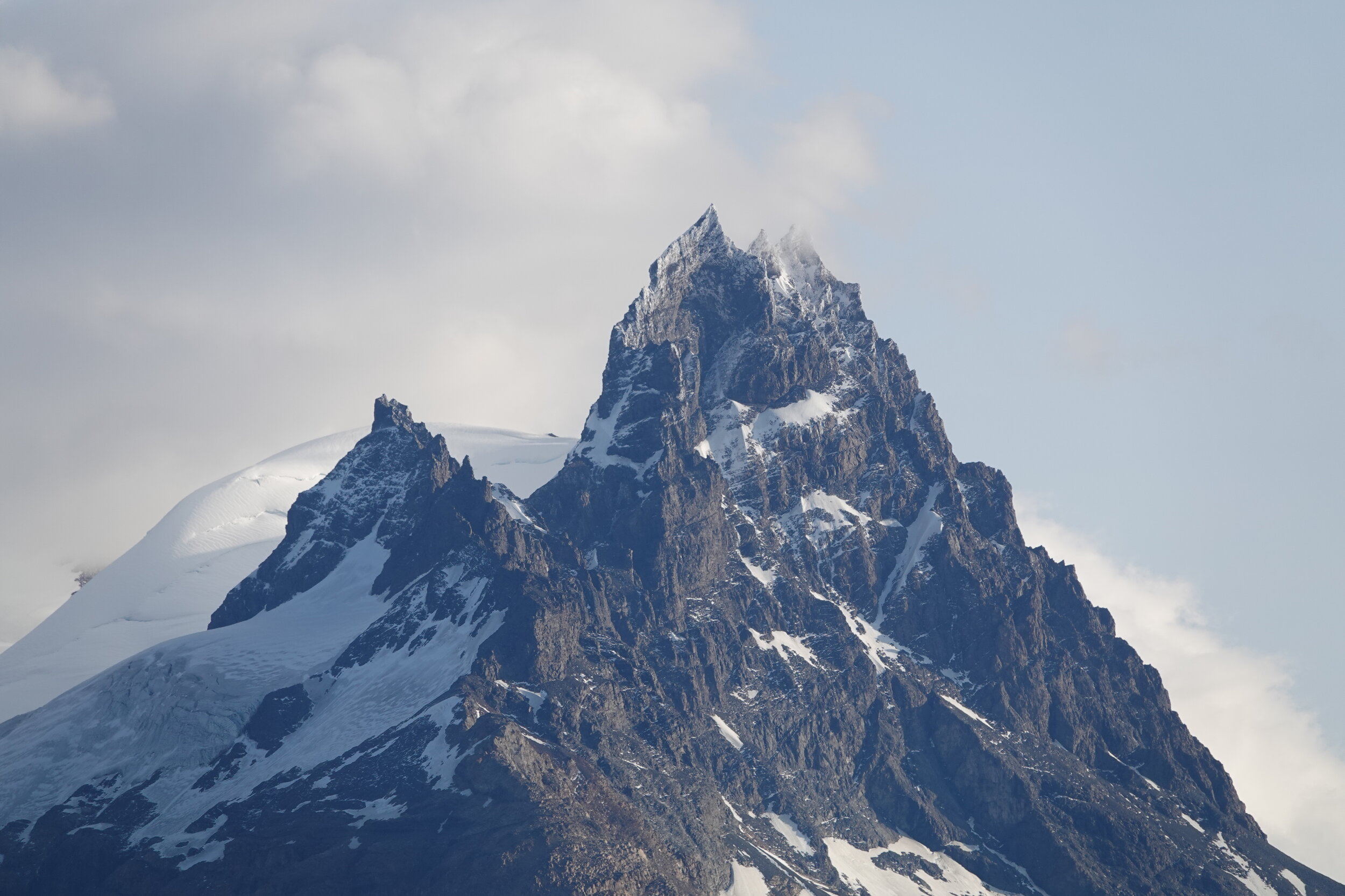
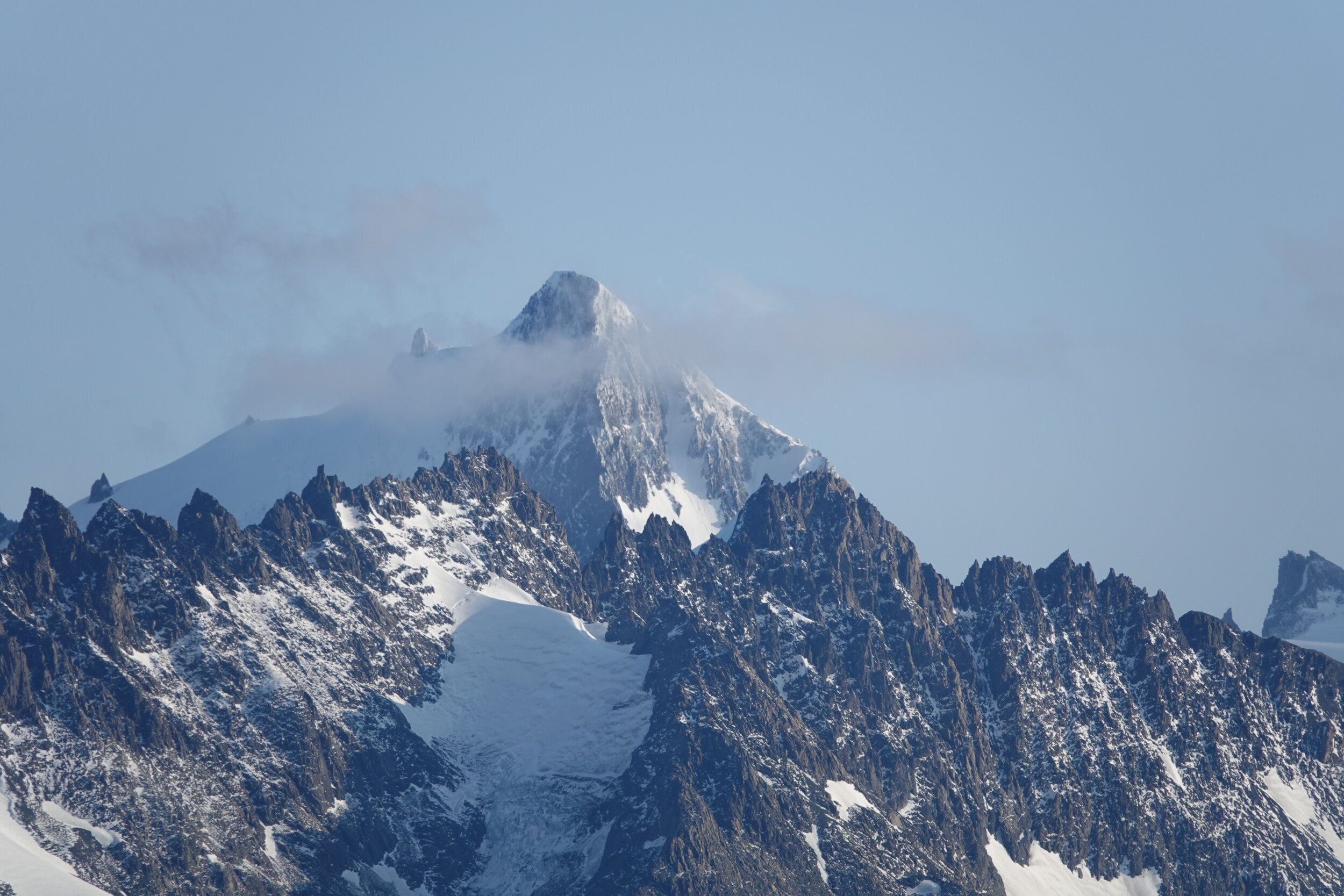
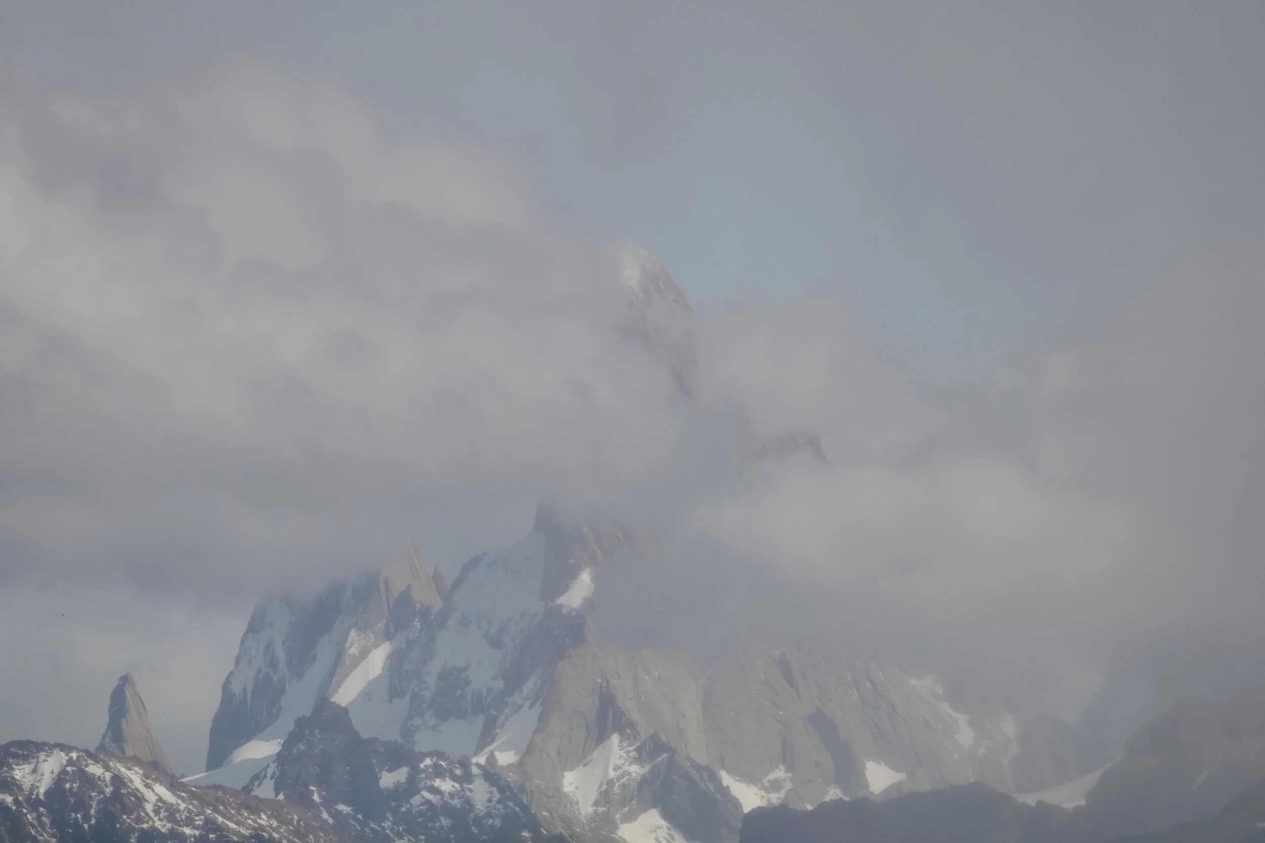
Then there is the Mount Fitzroy
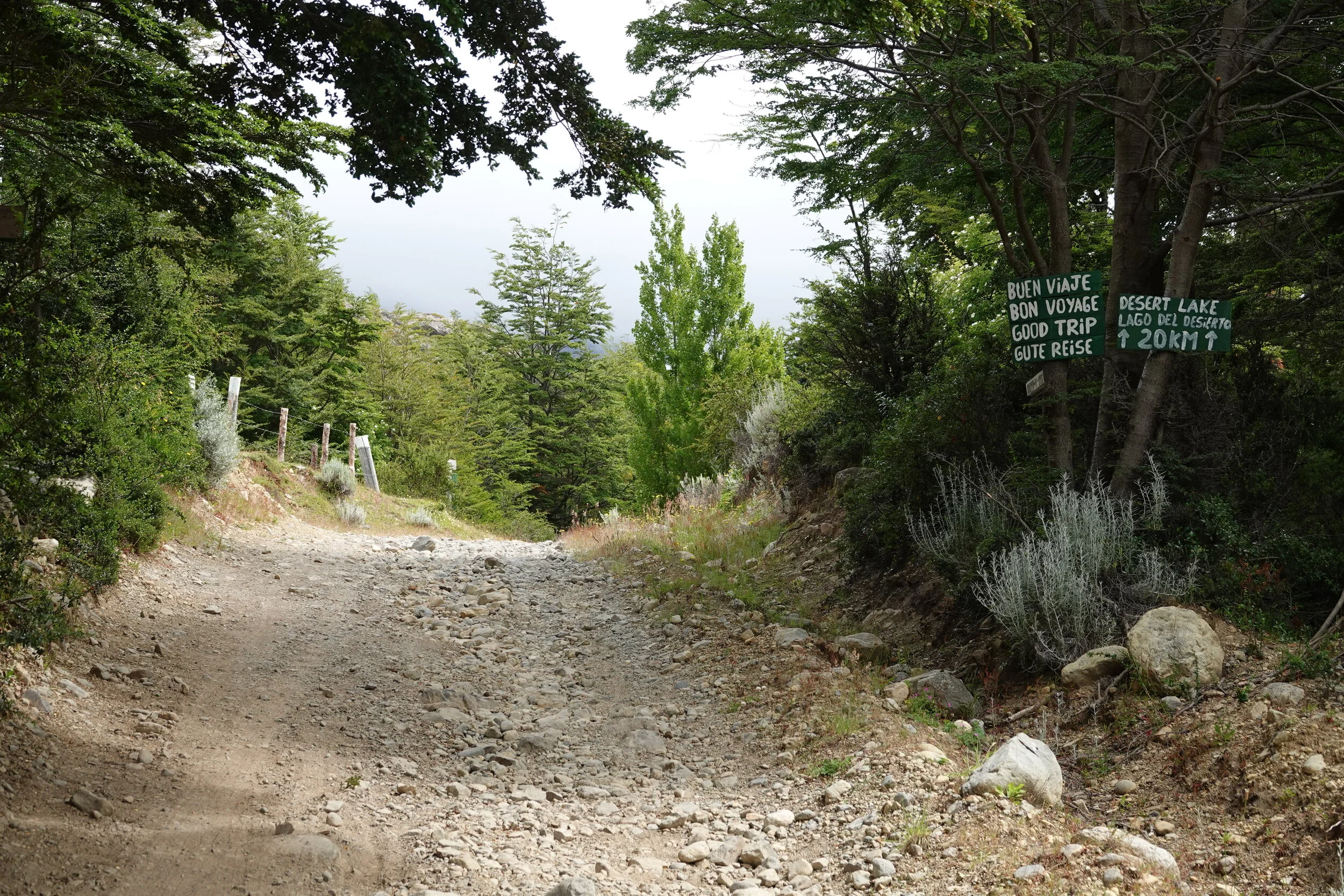
just one more lake in the way, Desierto. A cyclist unhappy with the ferry fees was the only person up before me and he took off on the route along the lake


I wave to the morning ferry going to pick up the hikers and the cyclists and roll up the boat for the last time. My plans and ideas of continuing packrafting on Lake Viedma and Lake Argentino are put on hold by the summer wind and safety worries.

I start walking down as the tourist transportation is a bit too much and would need to wait 4 more hours for the bus. It’s all tourist minibuses buzzing up and down but once the private cars start returning easily get a ride.
El Chaiten is overwhelming with the amount of people and when I return here in April it should be quieter. I decide to hop on the overnight bus back to chile and coyhaique. Its the end of January and I have most of february free before bringing back the bike. I will head up to try and climb Ojos del Salado and more on that next.
easier said than done.
maybe I should start listening to the news more often.