
February 6, 2020
So Fathorse (the bike) is still in Patagonia by the Carratera Austral and there is still over a month before I can get the new back wheel (and a new frame).

Fathorse resting by the Carretera Austral

he’ll be watching my bike!
It was easy to return to Santiago and Talca and all the friendly creatures and humans that have made Chile feel like home. From discovering who is hanging out with rabbits and breaking vases to just hanging out in the sun.
This is also a good time to attempt to climb Ojos del Salado, something that I missed on my wanderings of the high altitude region of Puna de Atacama and Los Seis Miles (The Six Thousanders). The Eyes of Salt (or Salty Eyes) is an active stratovolcano on the Chile/Argentina border at 6893m/22615ft. There are many great places to acclimatize but very few offer an option to through hike. There is a section of The Greater Patagonia Trail that I did not do at the time with my bike and going from Laguna Maule to the hot springs near Volcan Chillan.
There are a lot of missing photos from this post and the next and there was a little mishap with a river and the camera. I start at Lake Maule with Matt who is just here for a day, I met him back in 2019 before riding the Travesia de los Volcanoes and pending a timely Chilean window installation at his place we would make our way toward Argentina and The puna in about two weeks. (a place that I have wanted to retun to)
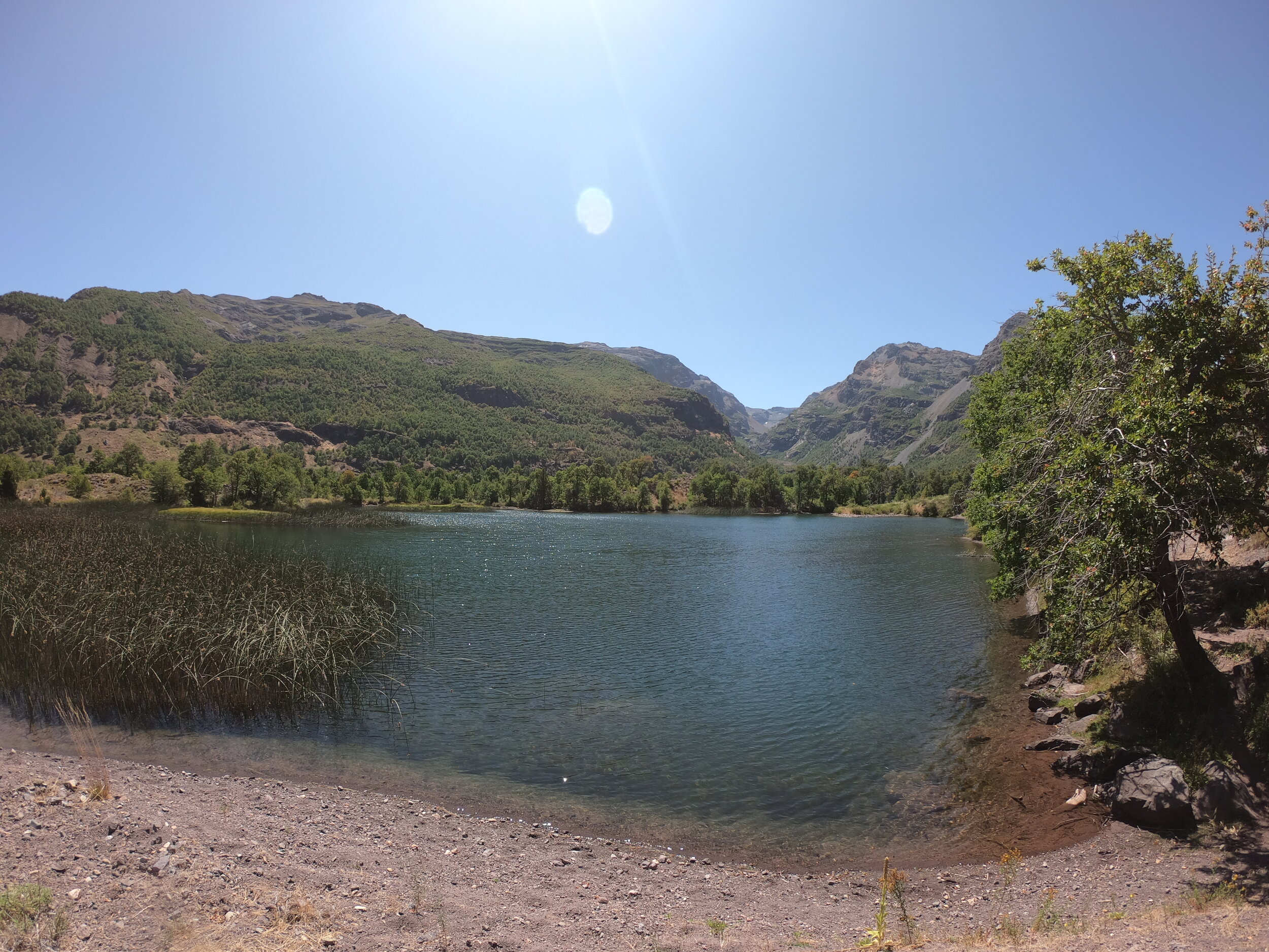
A fisheries employee is living here and keeping an eye on the waters.
birds stand still long enough for a photo and Arrieros make the journey from their summer camps.
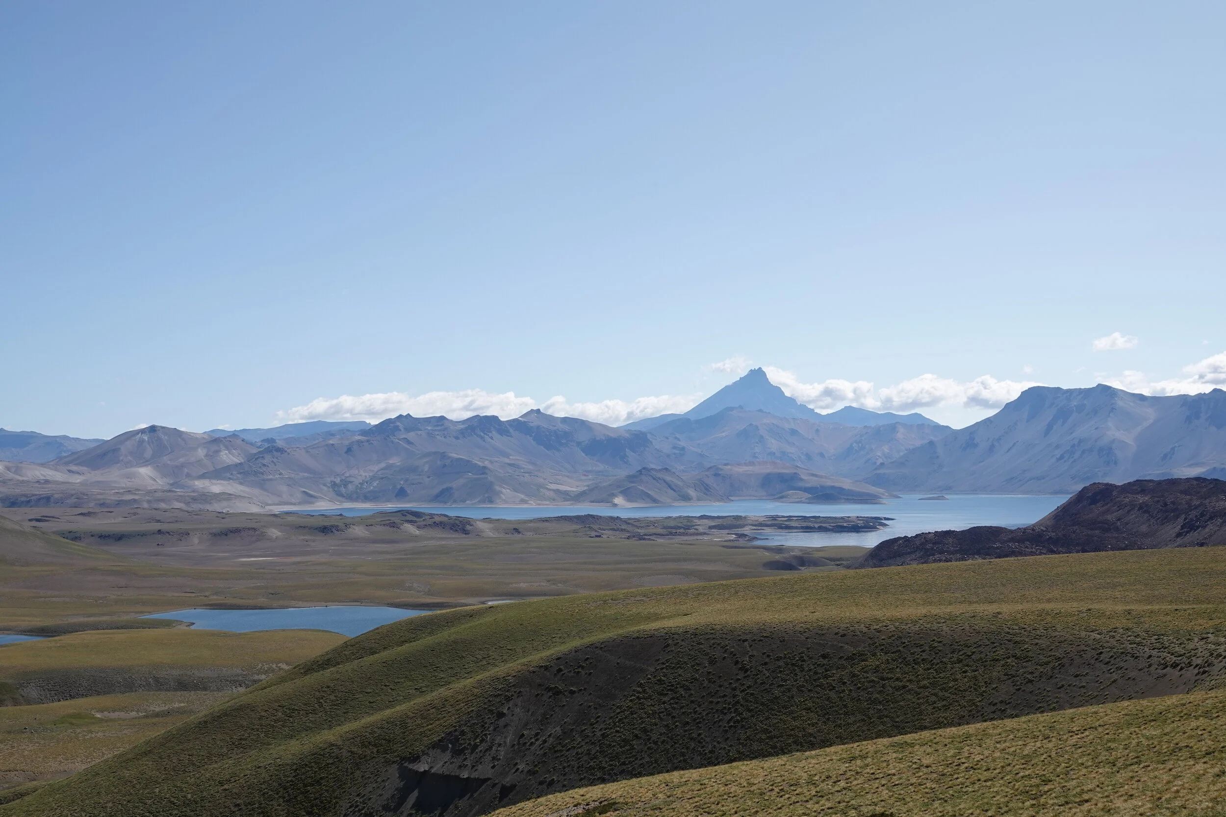
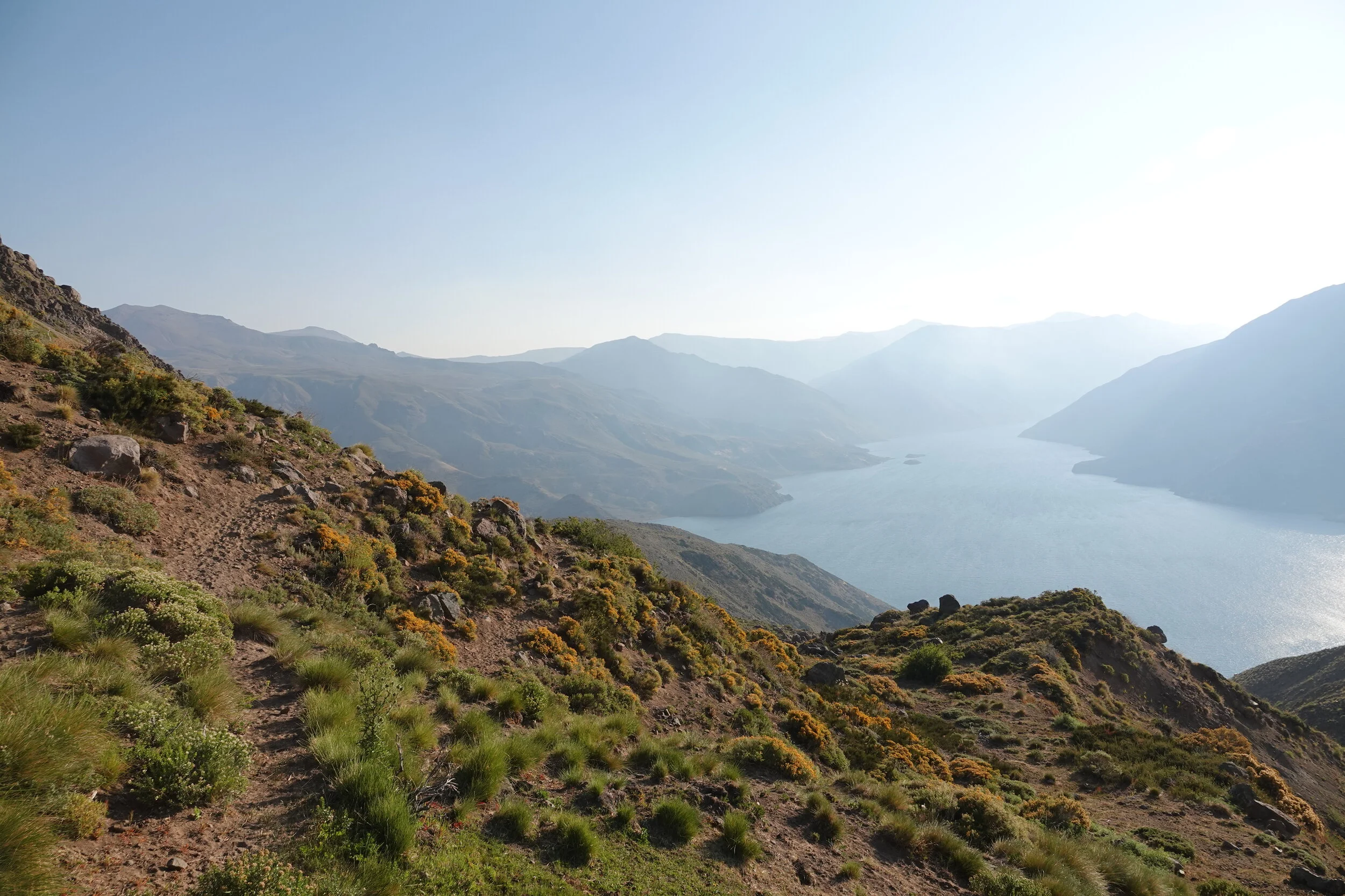
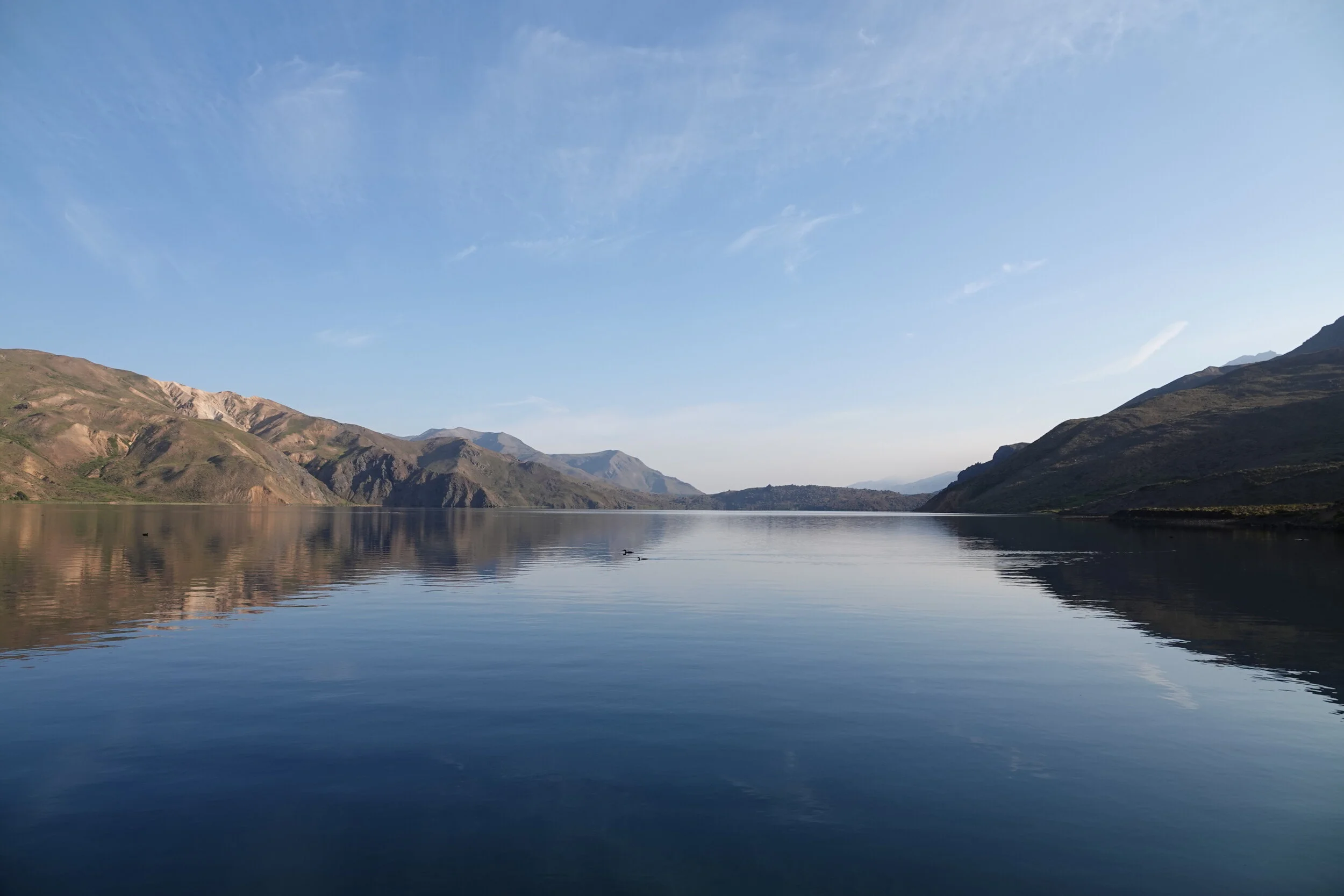
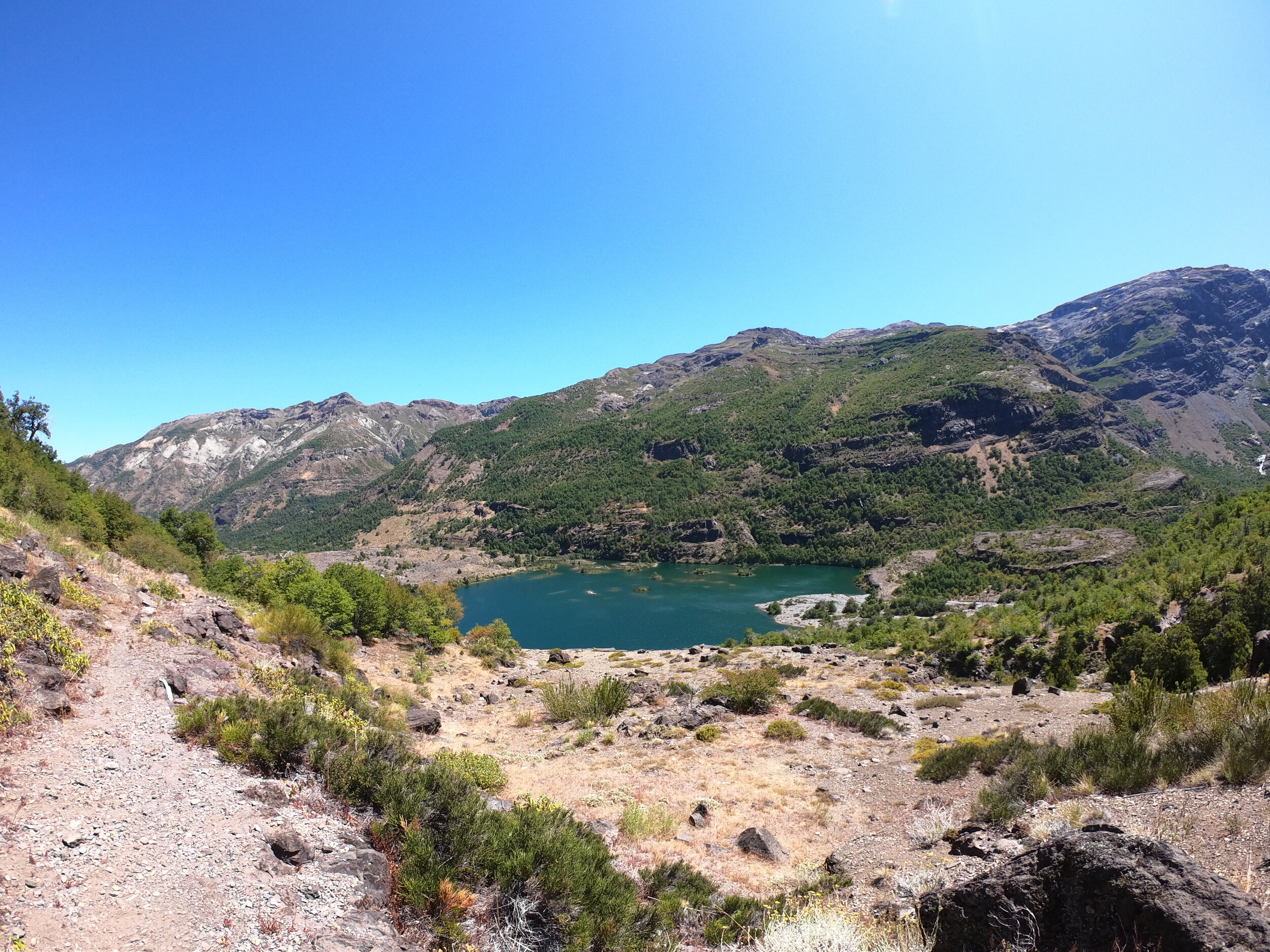
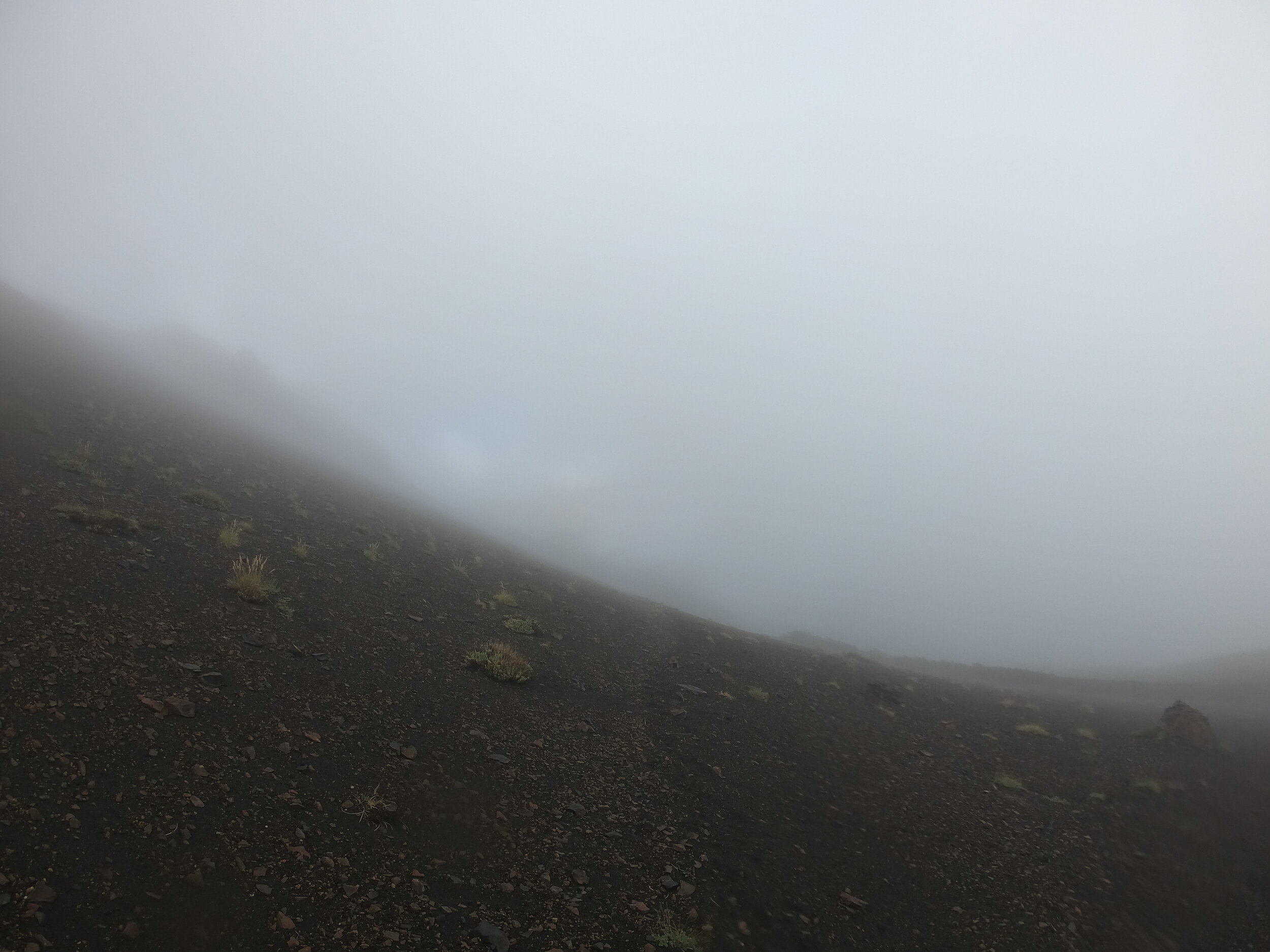
The lake is as surreal as the treeless, plantless Chilean landscapes usually are, especially when the light starts changing
There isn’t much to FPV flying, just put together your drone with all the connections and an onboard camera transmitting to FPV goggles, propellers, battery and 3Dprint mounts for your gopro and 360camera. Take off the extra weight and delay of sensors and stabilization in favor of controlling throttle with one joystick and tilt with the other. Then go for a flight.
”It’s as close to you can get to flying, without actually flying,” Matt also said that it’s not a question of if you would crash but when.
a really cool little machine, moving at great speeds in great winds.
This flight was with a 360 camera, so if you are on your mobile phone or a tablet you can launch the video and move it to look around. Lead Me Home (Chile Vuela) .
and below is the flight from the morning FPV video shot at 4k 60fps
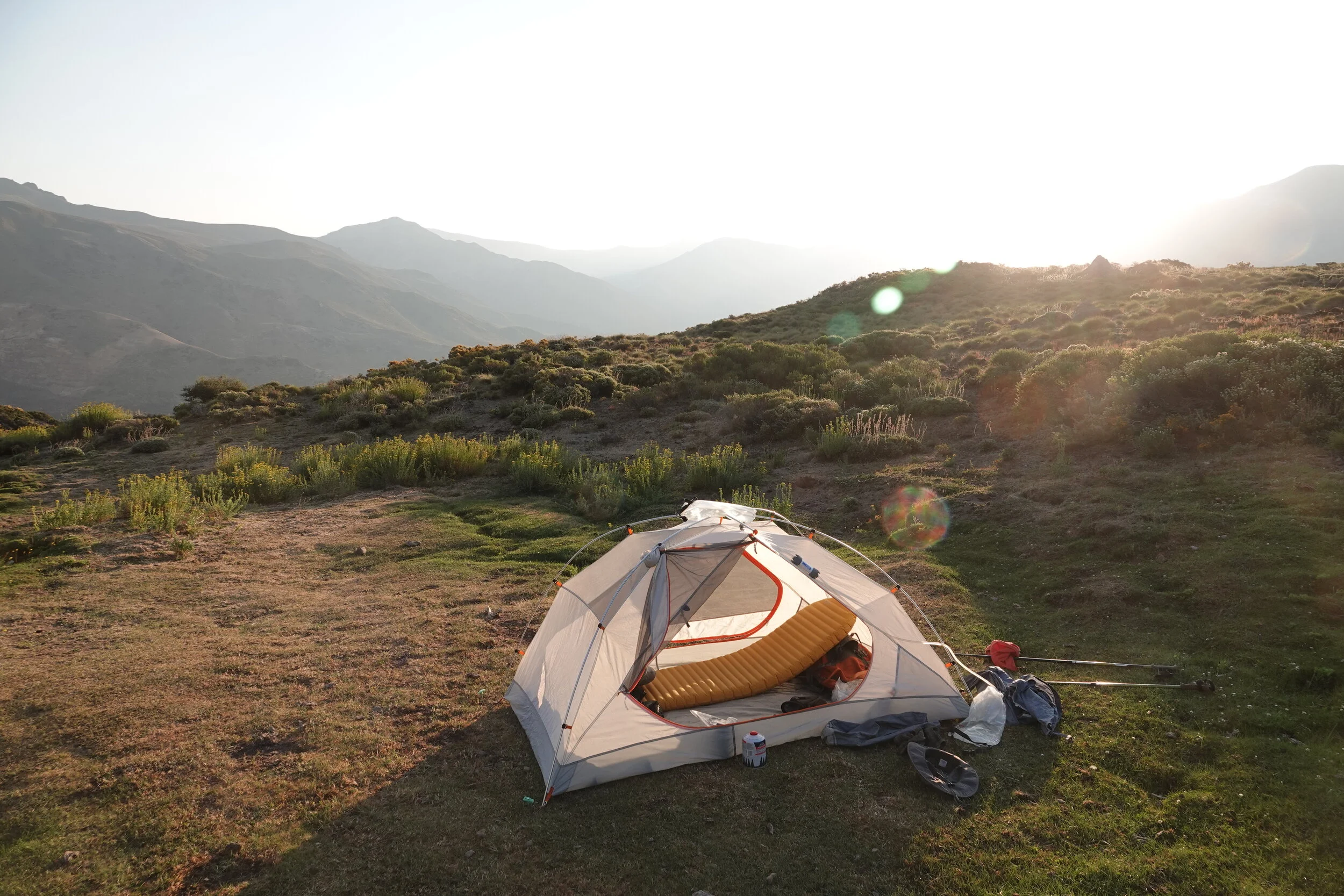
You could never believe all the gear that is out now. I got to look at Matt’s Zpacks tent and sleeping bag, weighing just a fraction of what I have
Matt is letting me borrow his hiking poles
sleeping bag in the palm of your hand
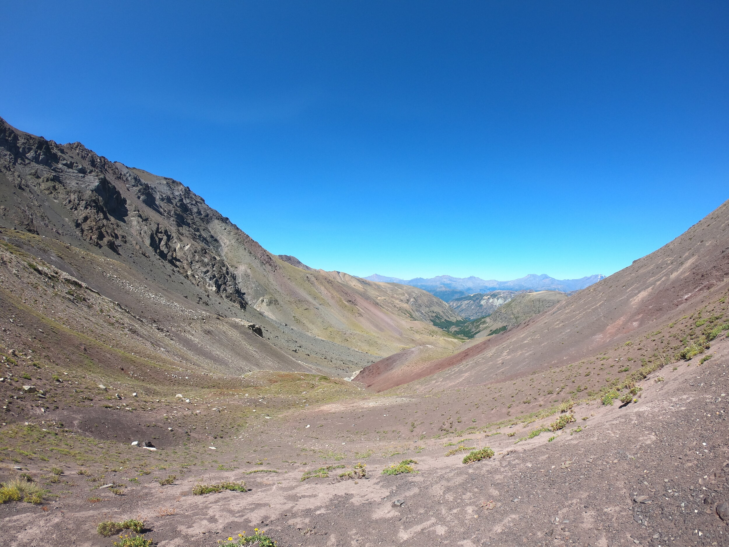
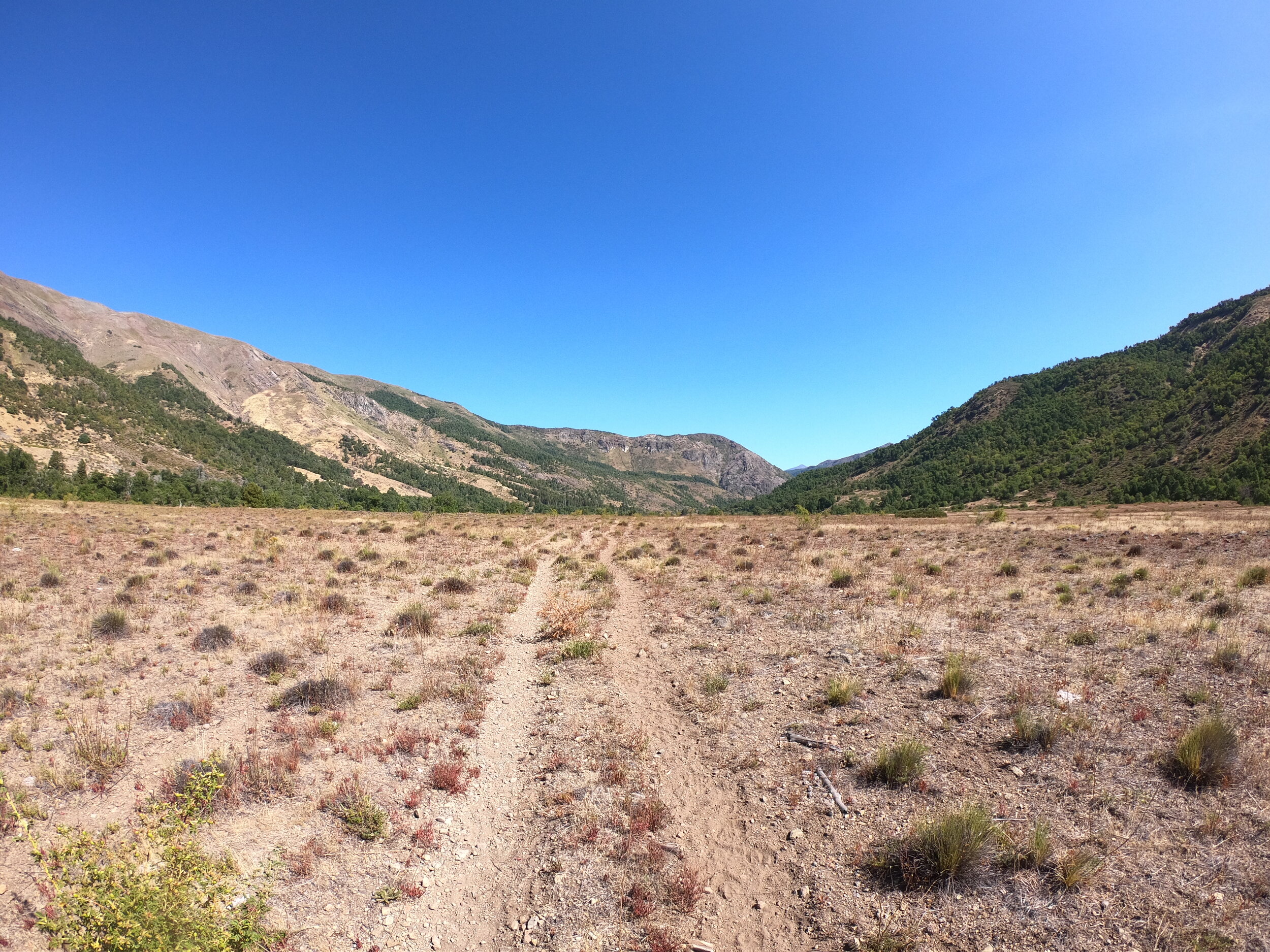
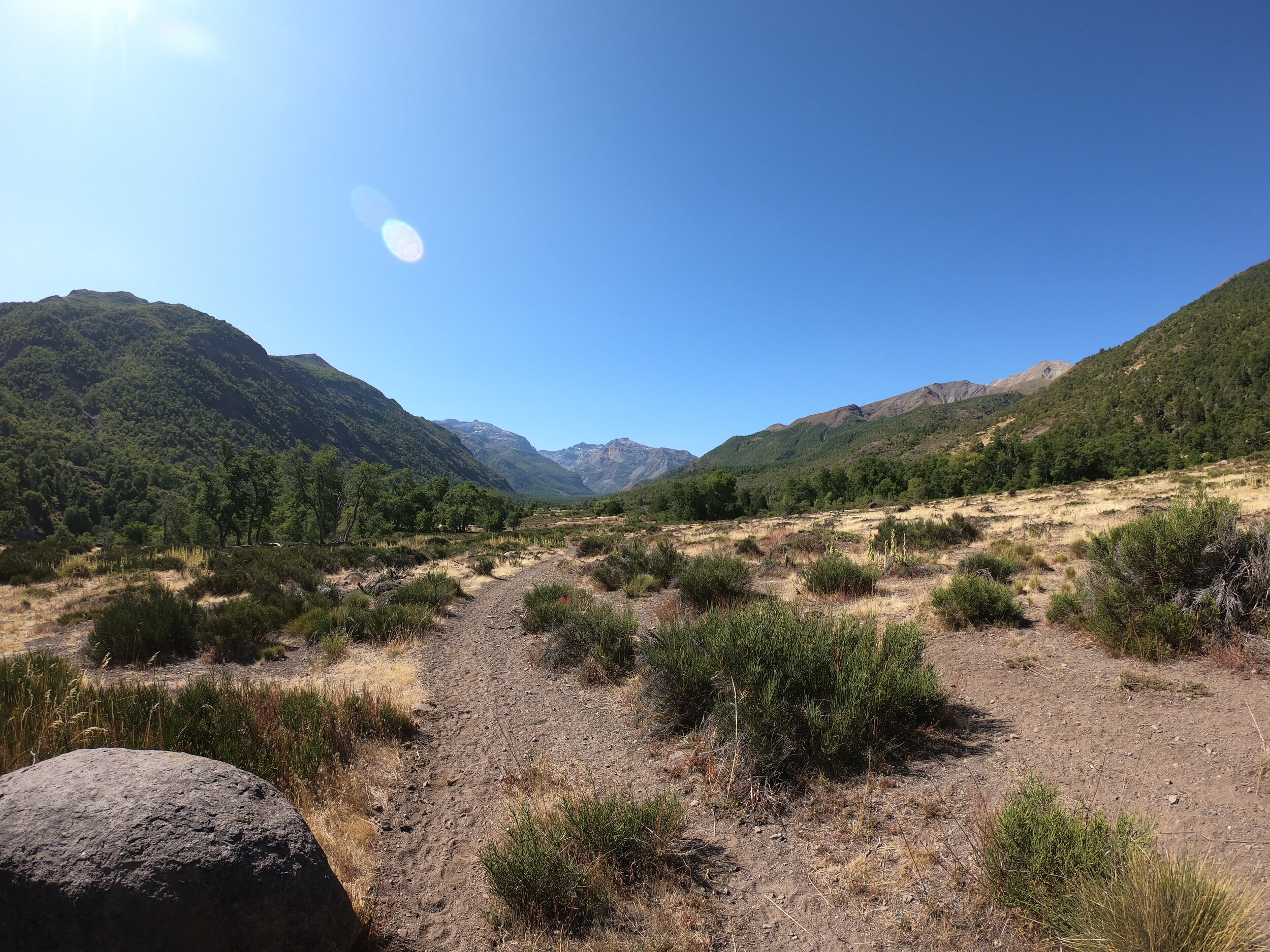
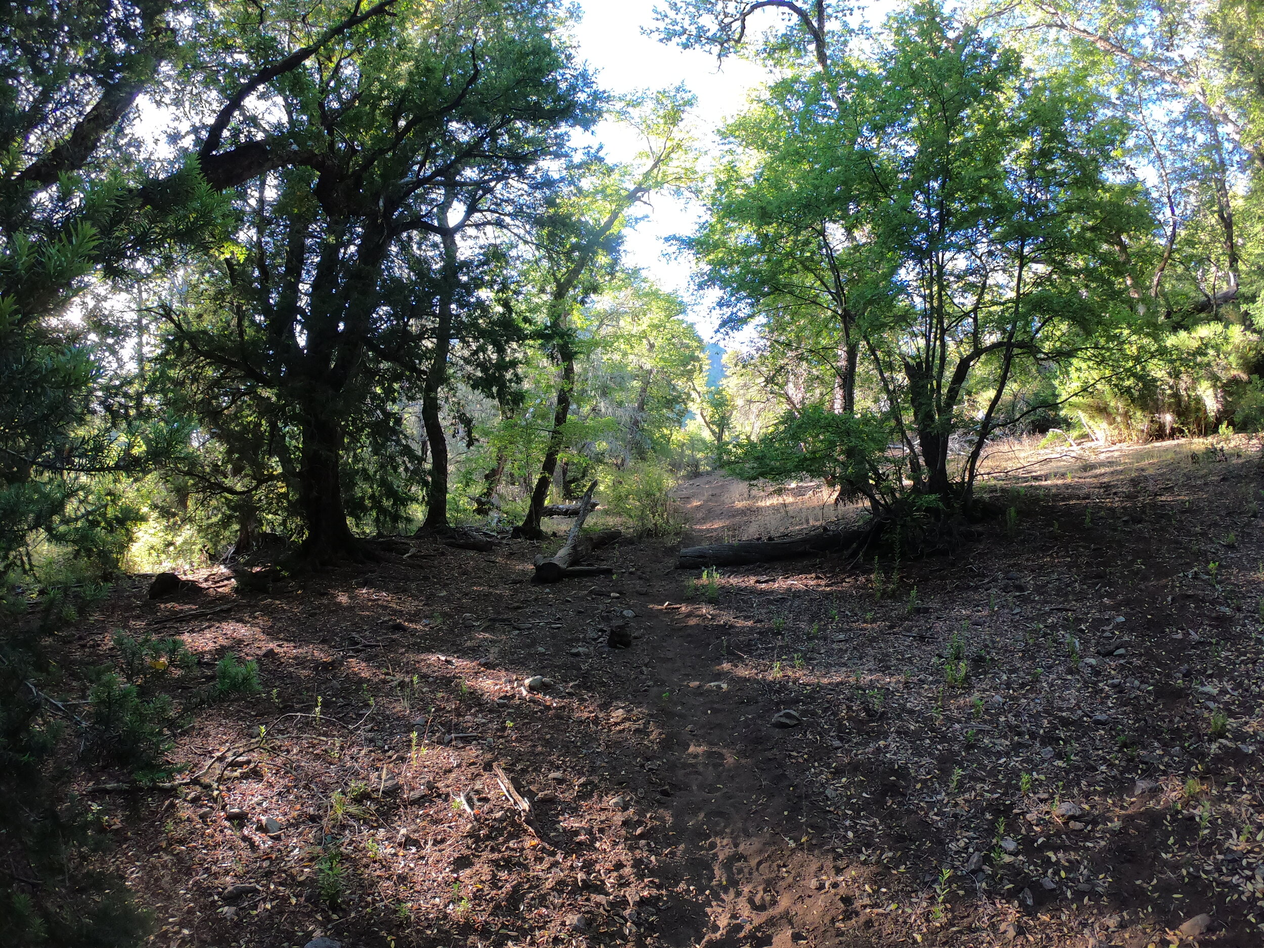
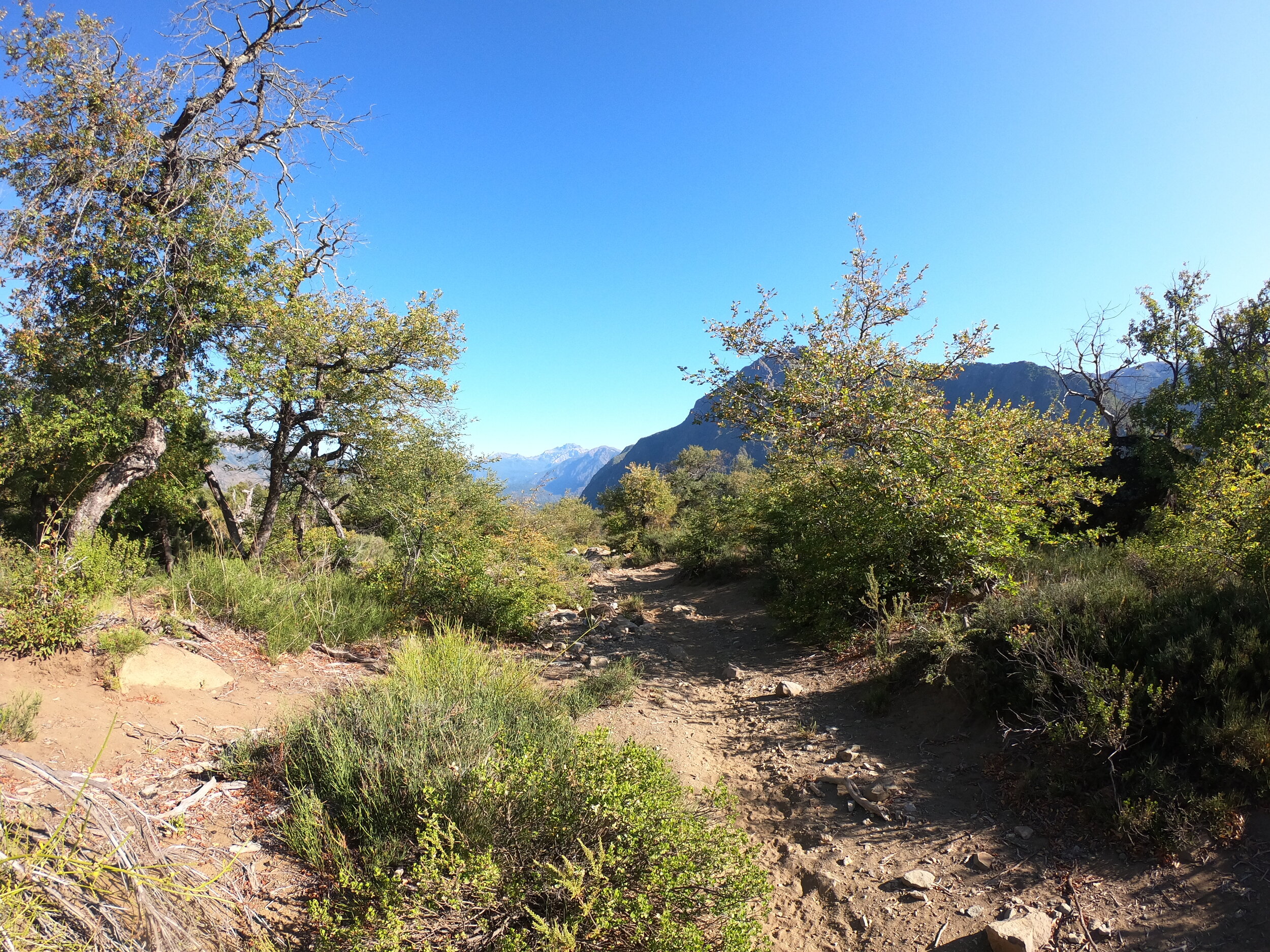
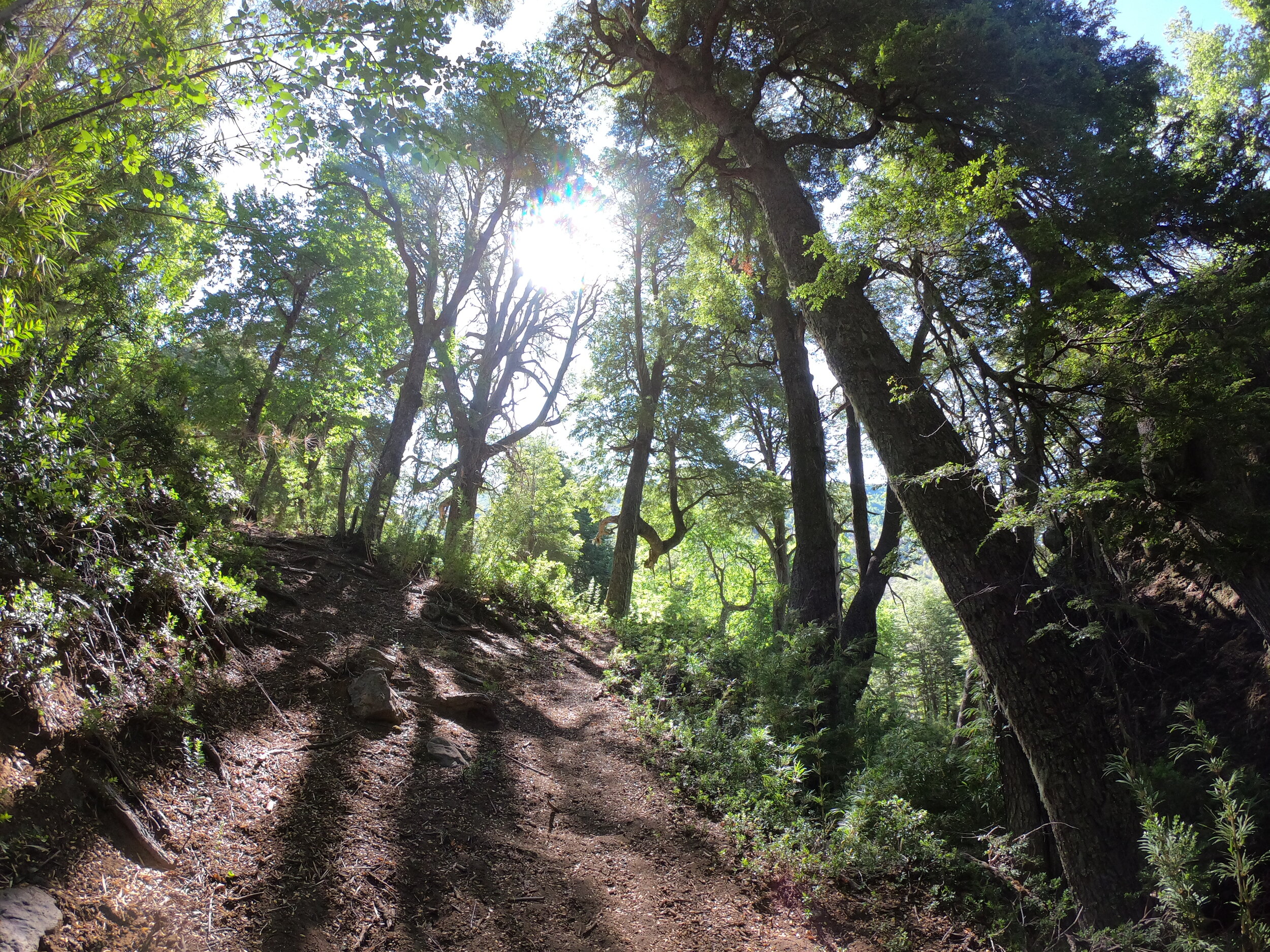
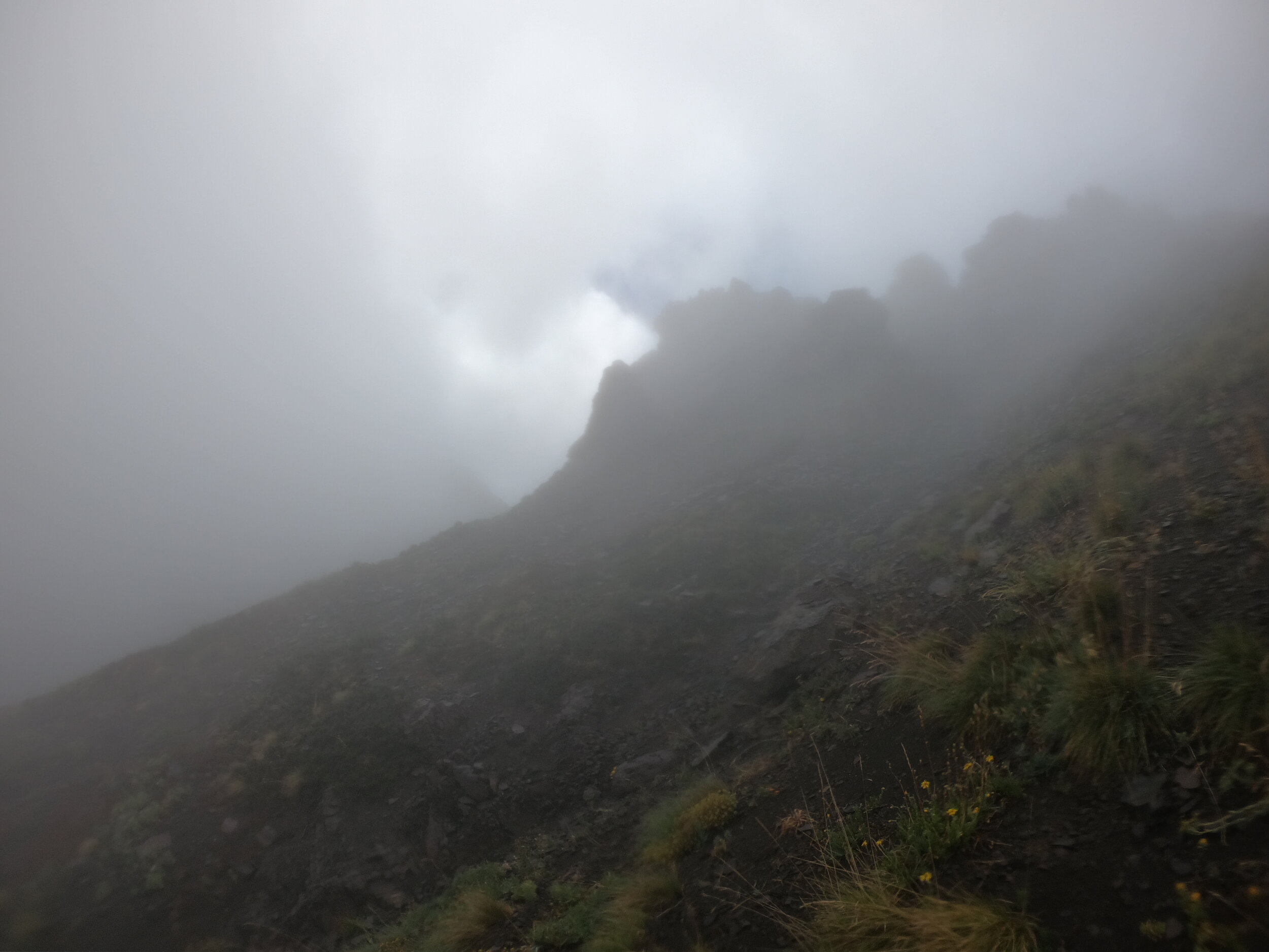
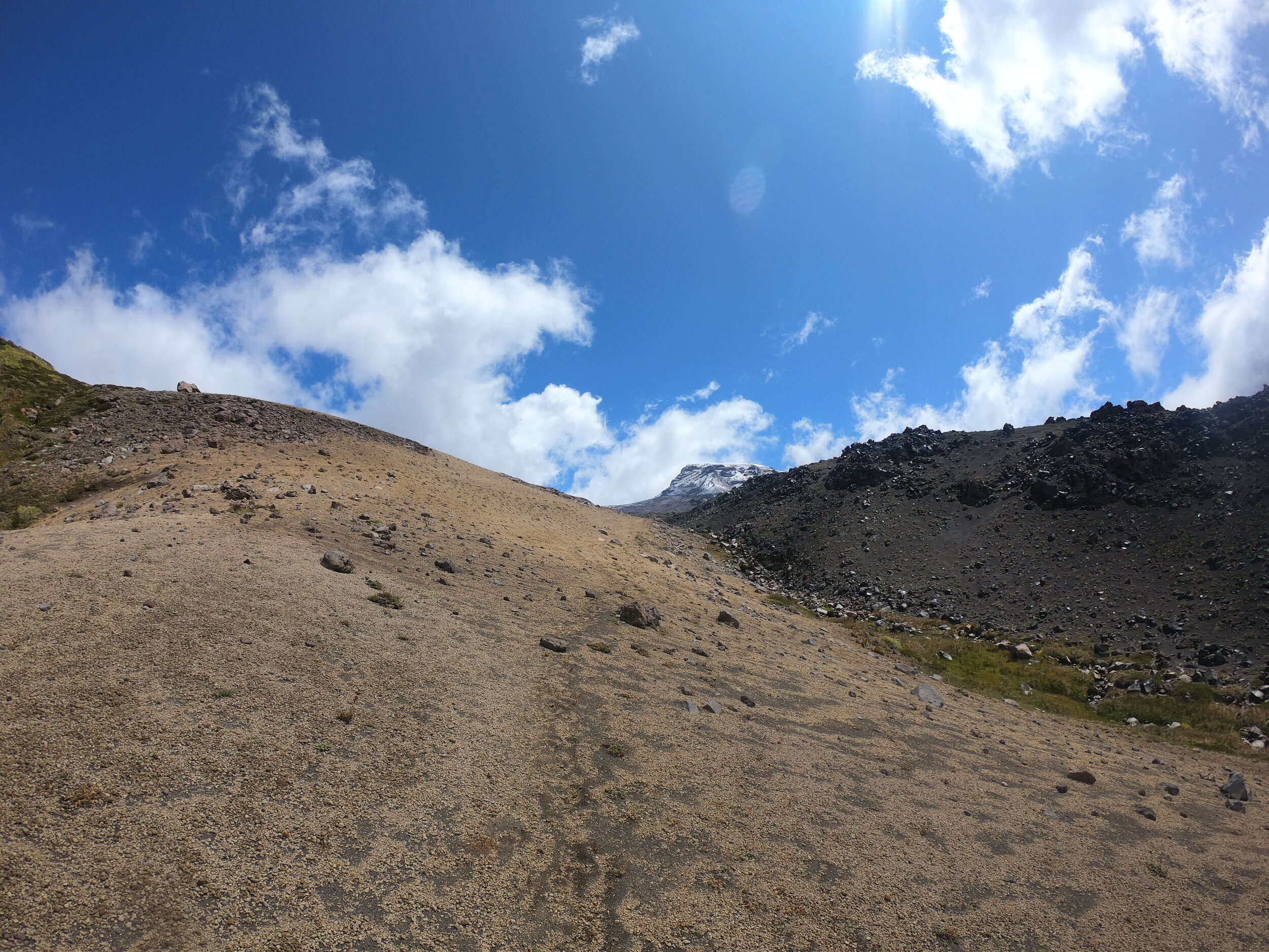
I leave Laguna Maule and Matt piloting from a rock behind and head onto the Greater Patagonia Trail. Altitude-wise the route is around 2000m with 2500-2600m passes along the way so it is not the best to acclimatize but surely a great walk otherwise
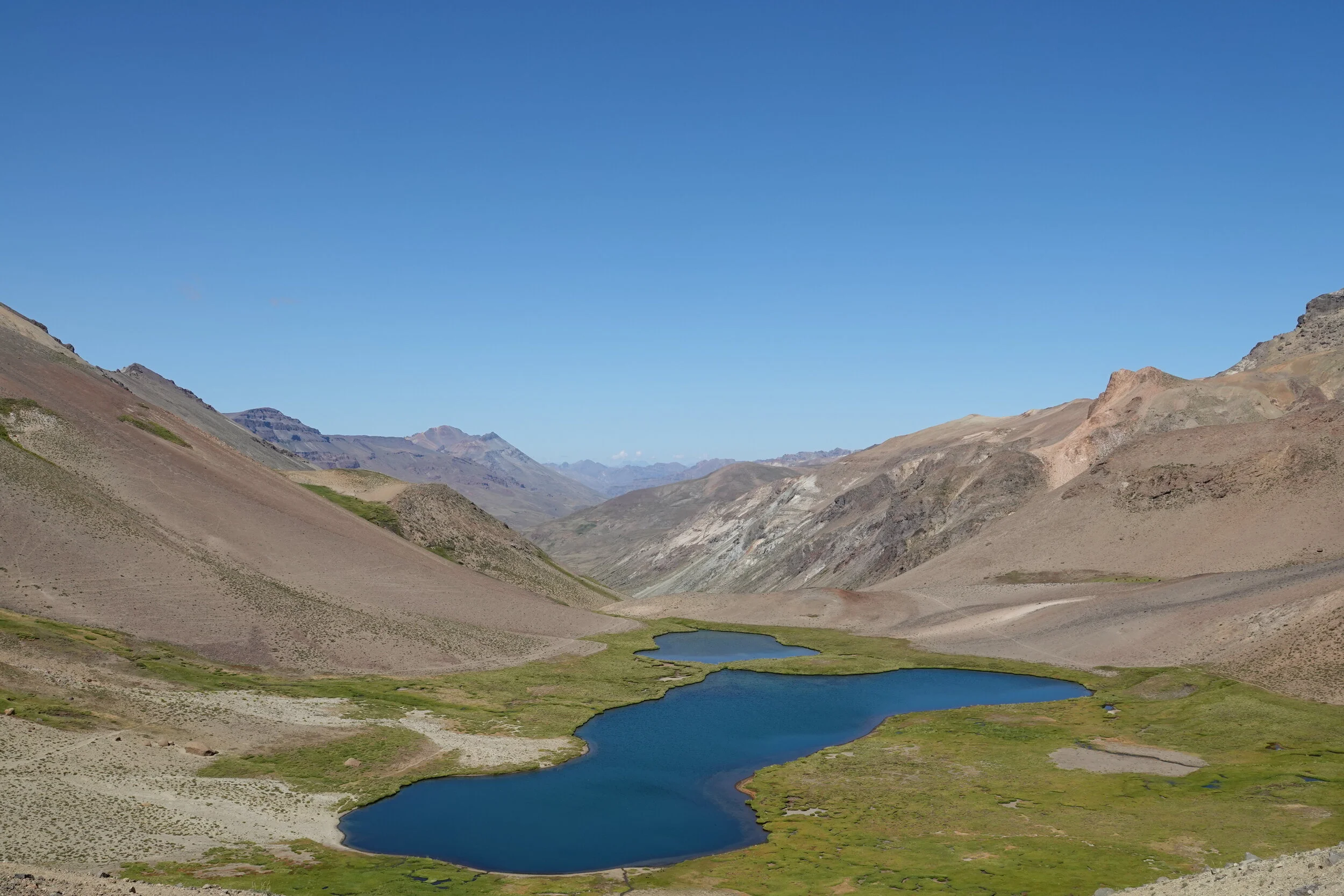
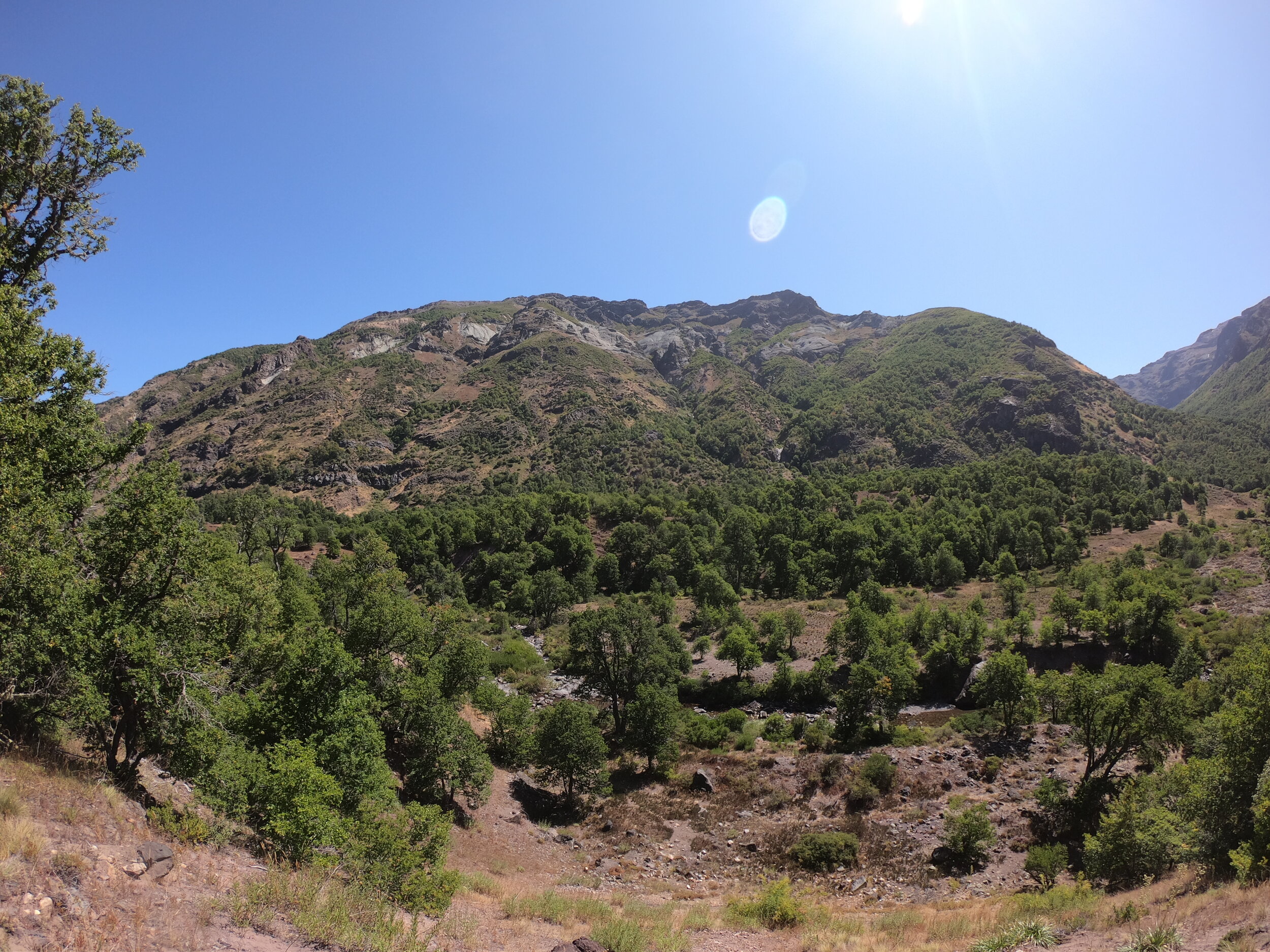
Water, despite the dry terrain was plentiful
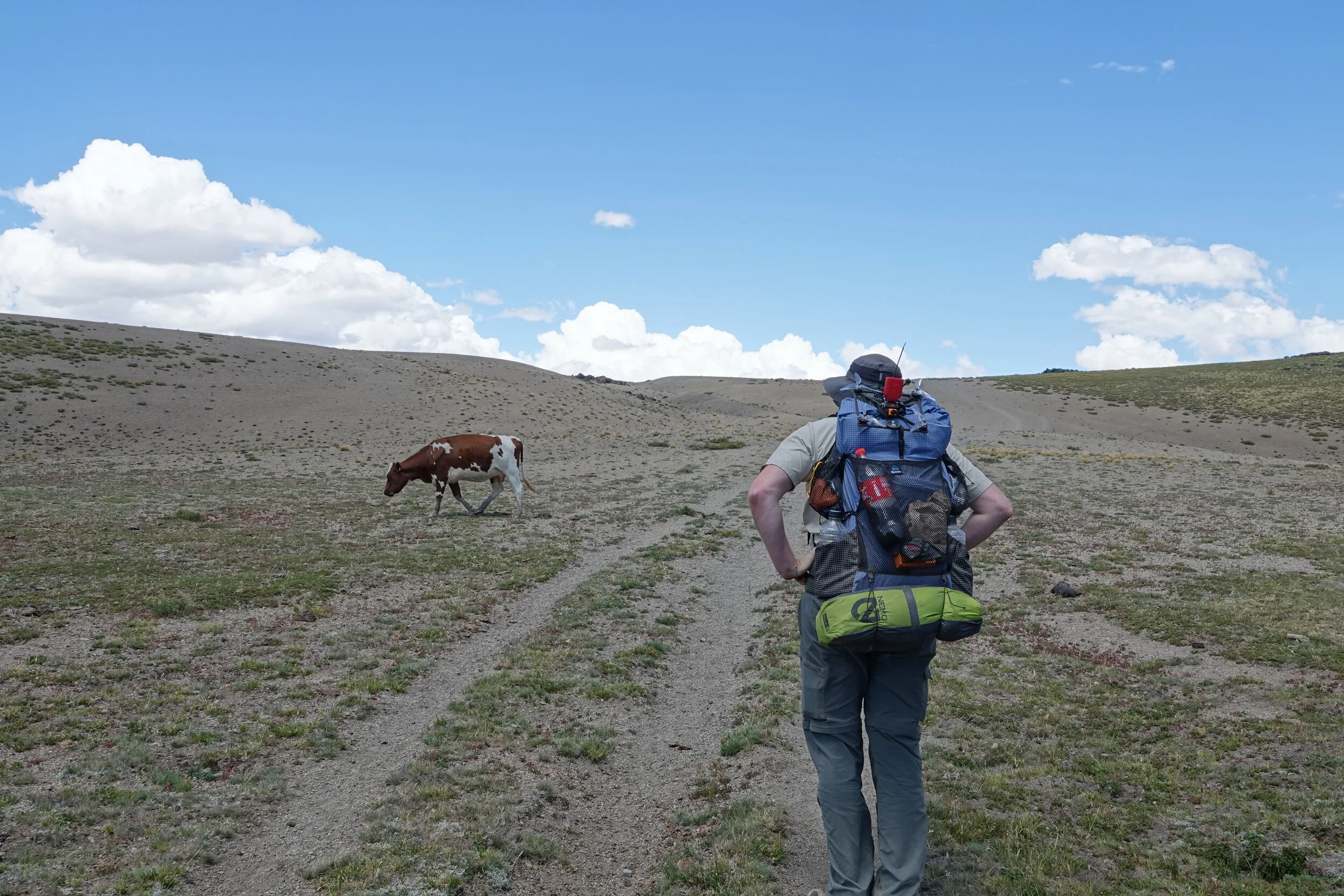
and just when you think you are in the middle of nowhere, you spot some Arrieros running sheep on the other side of the valley, there are trails going into almost any direction.
Then it was my turn to run goats, sheep, horses or cows around the Andes. A wild goat stampede in one location had me worried that I am moving animals but they just went to a funny looking spring to lick the clay.
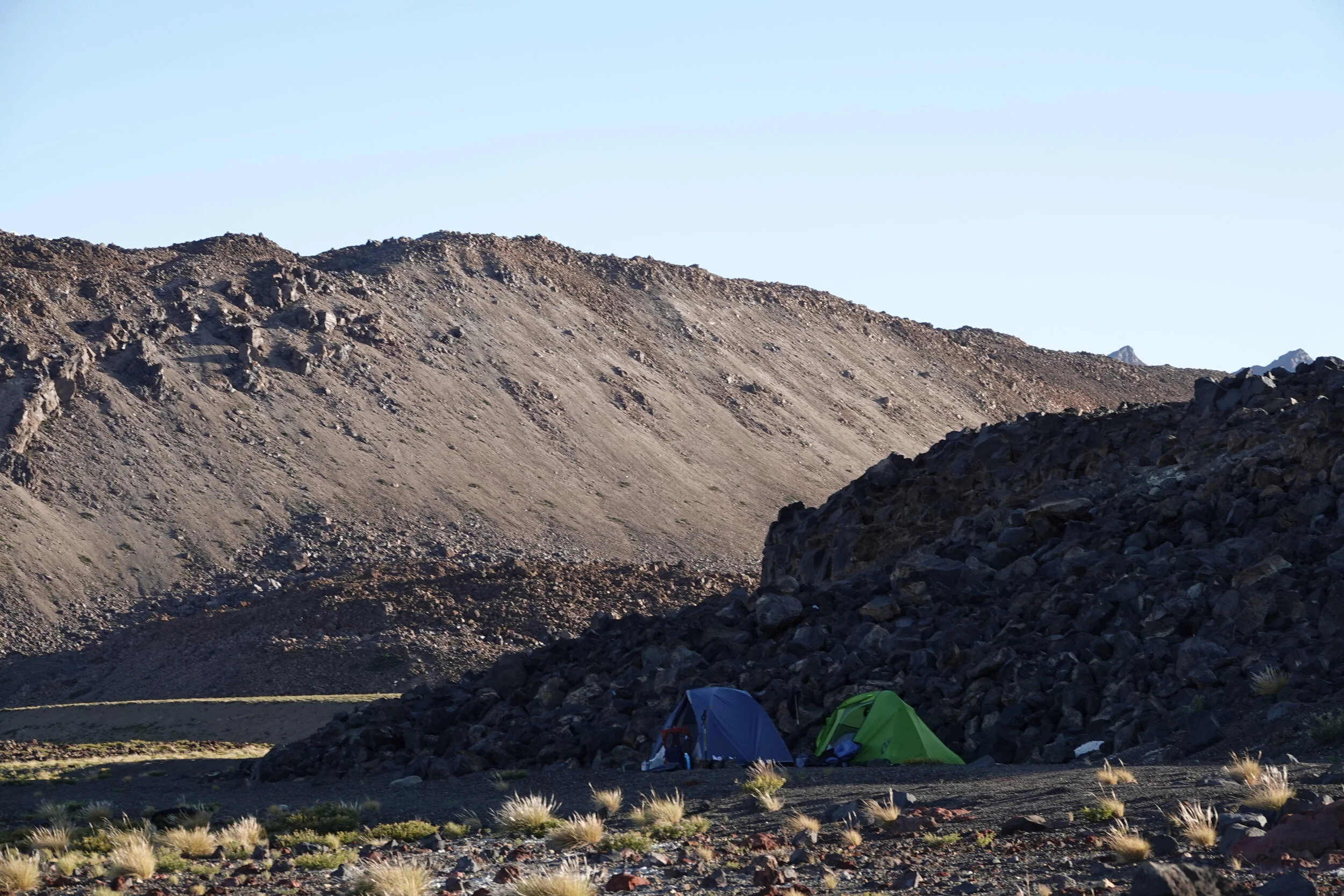
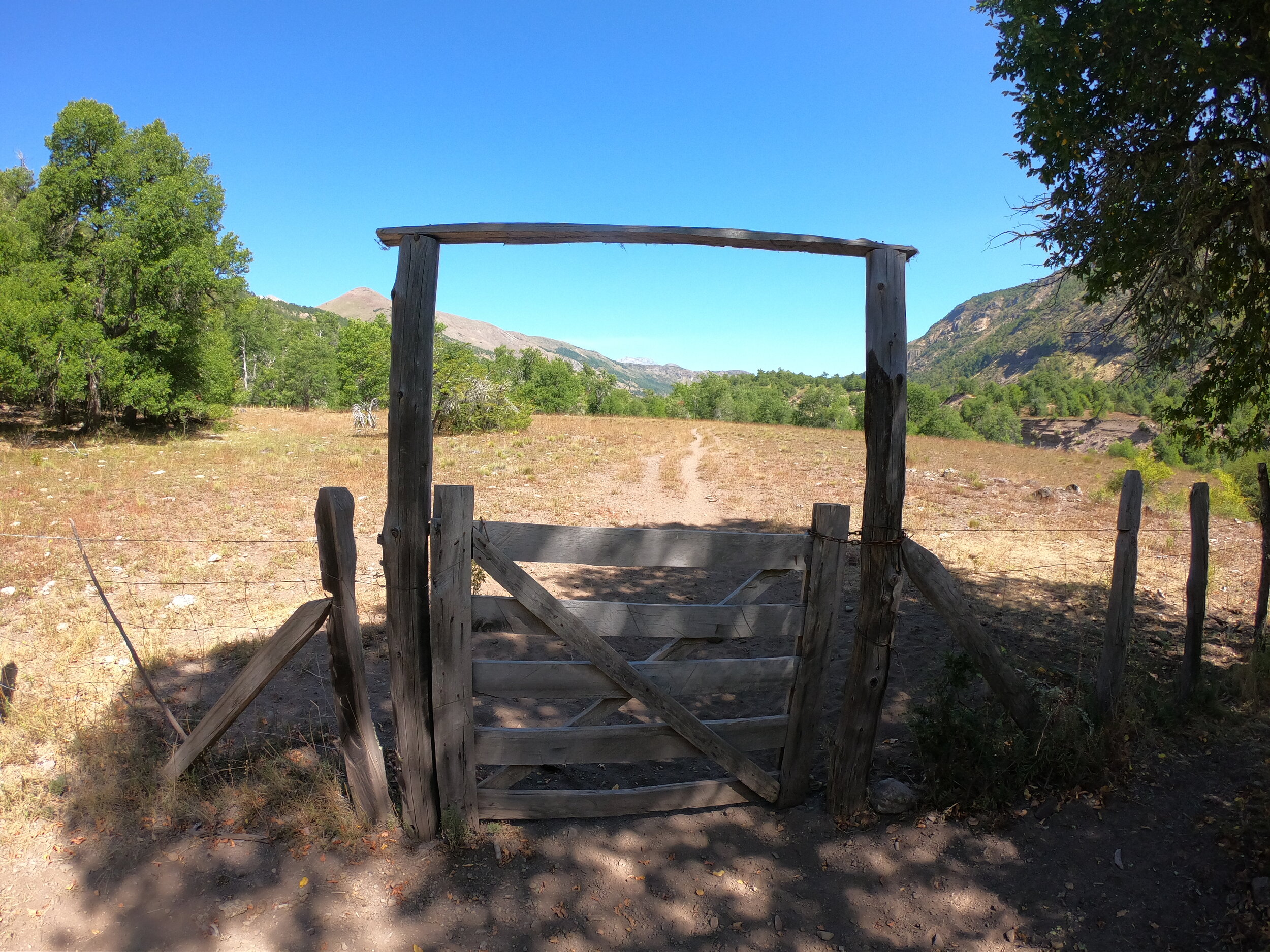
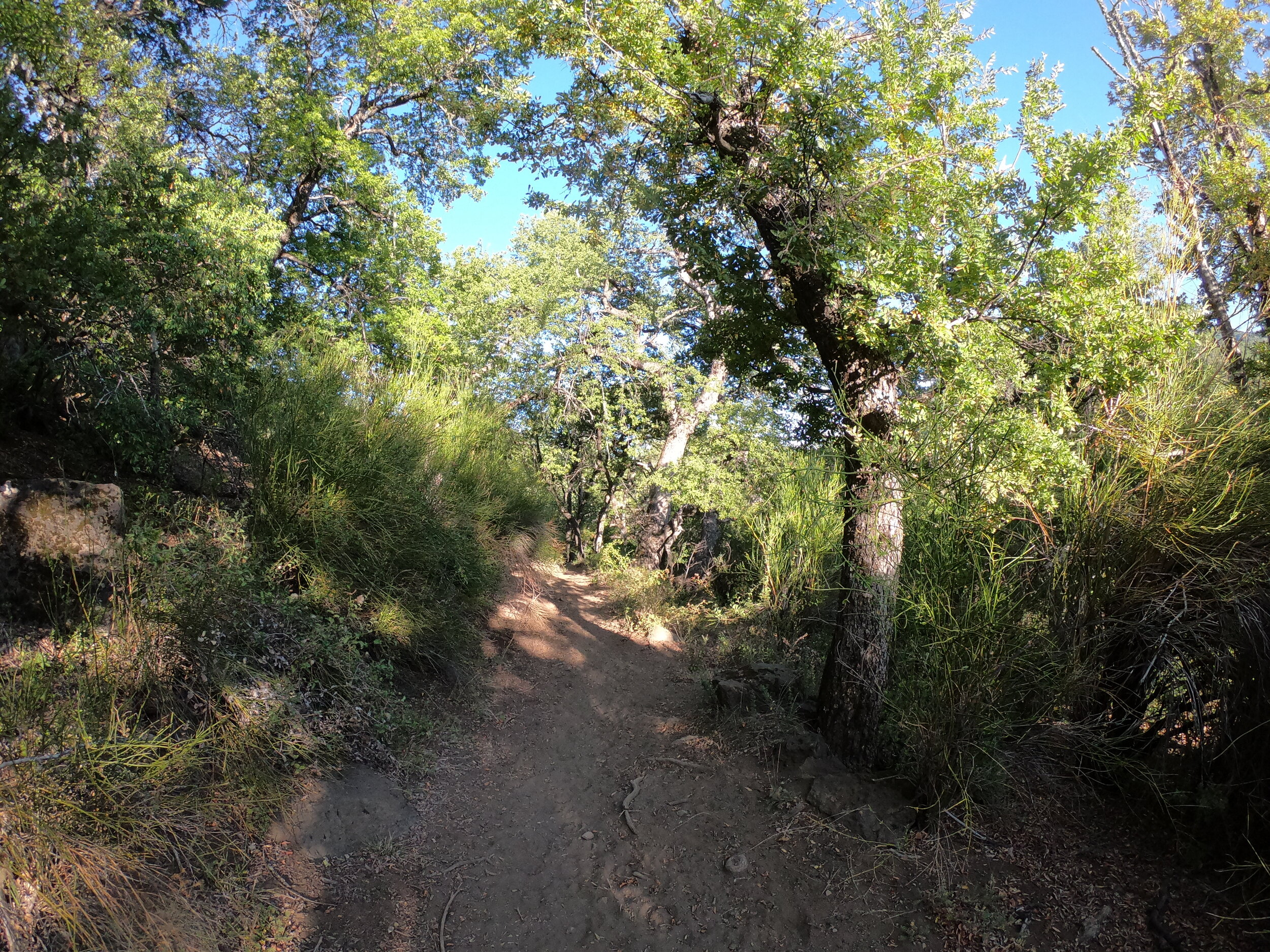
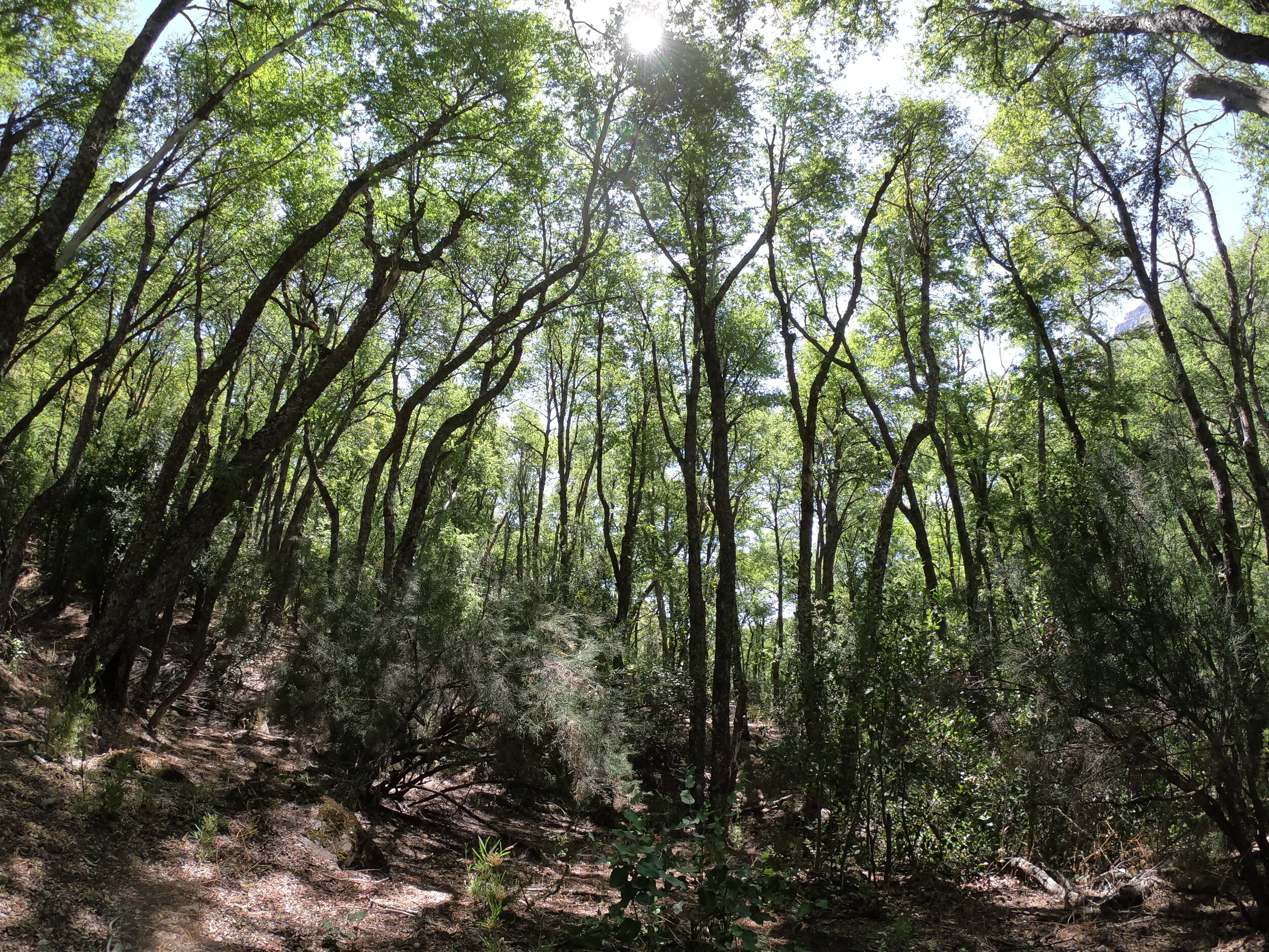
The trail was well travelled and I was bound to pass by a summer camp every day or so to make sure that I am on the right track. Camping was easy to find and dinner was the stable Chilean pasta sauce in a bag and pasta.
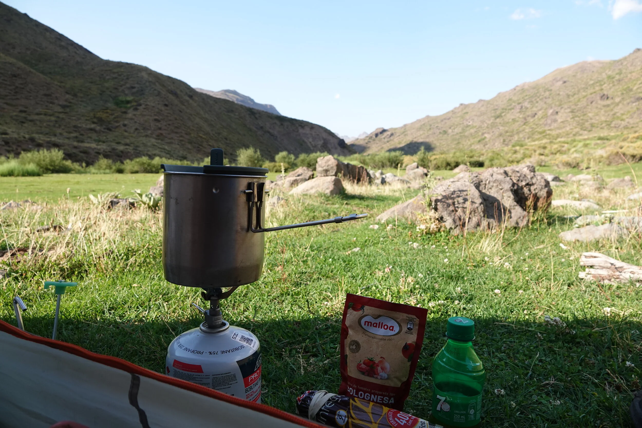
the 250ml bottle actually has olive oil
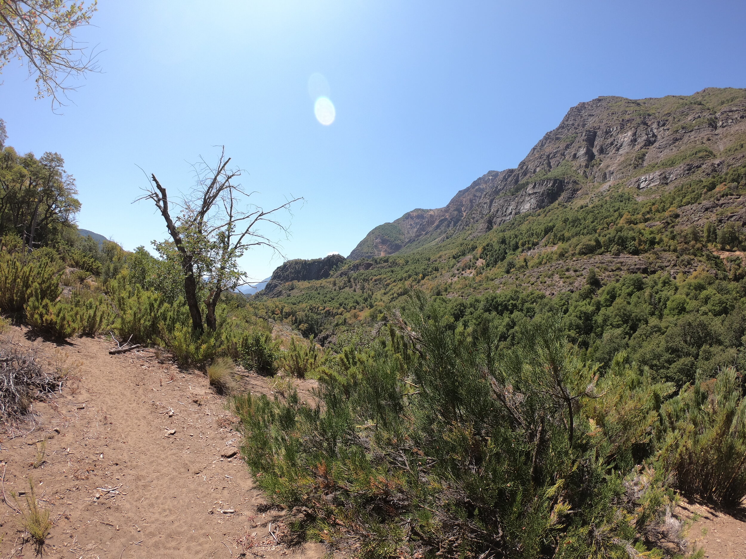
Mornings and evenings were great but the day just felt like somebody turned the dial past 400 and all you could do is wish they would open the oven door and take you out . Although there is usually water and sometimes a great shelter for a shady afternoon siesta.
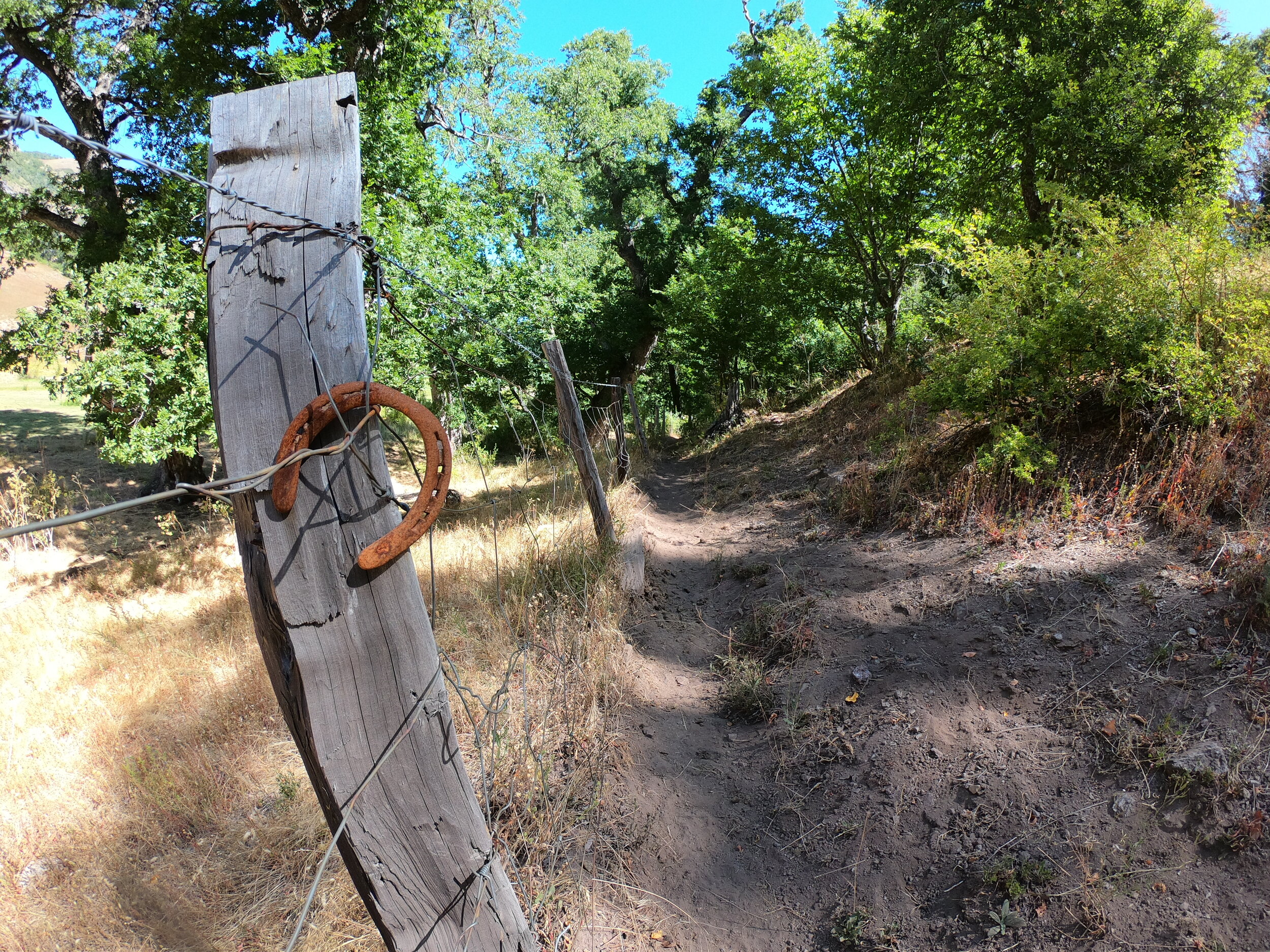
I would really be much happier if all these horseshoes were facing the other way
There hasn’t been a single day hiking where I haven’t envisioned riding a bike through instead and it would be a great ride but you would need to work for it.
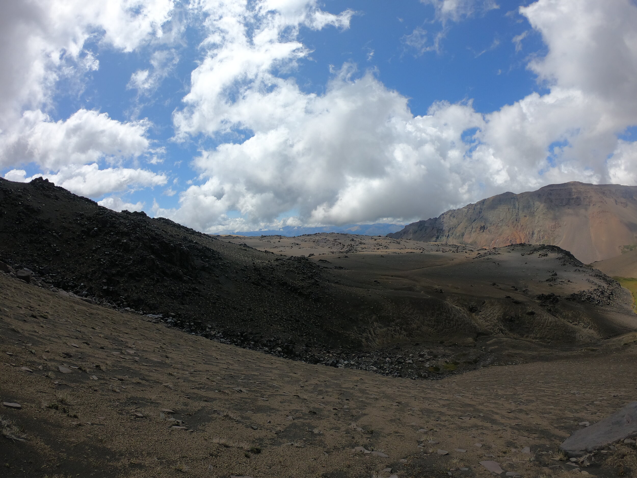
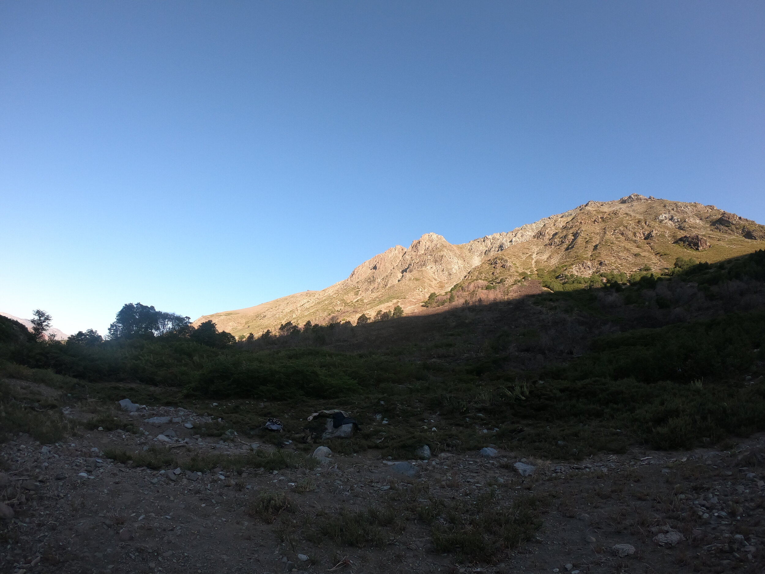
Laguna Dial
By far the best part of the day is when the dirty, dusty or sometimes wet hiking shoes come off. I also managed to spill some pasta (and boiling water) on my left foot on the second day of the hike. Although it wasn’t too bad it makes me wonder if I should complete the entire 160km route, over 100km to Volcan Chillan, at any given time I am only a day or two from somewhere with a road.
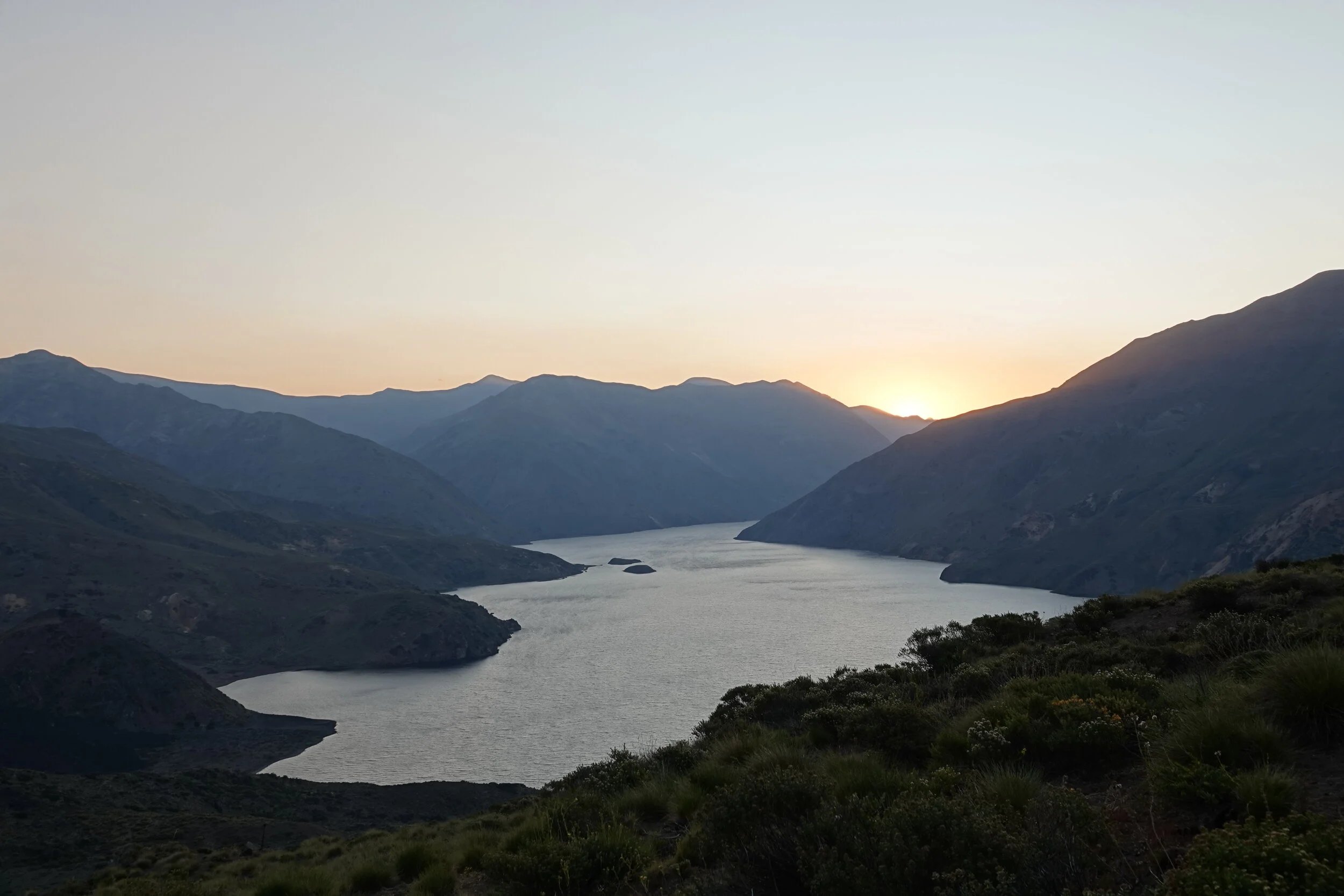
The morning was filled with peace and tranquility, giant lava flows into the lake and ducks.
Those prickly little plant heads you see over the cows can stick to your clothes and socks and I usually don’t mind them but when they get between the shoes and your feet it can be a problem. But still better than the cows, I don’t think they have a way to remove them other than rolling in dirt.
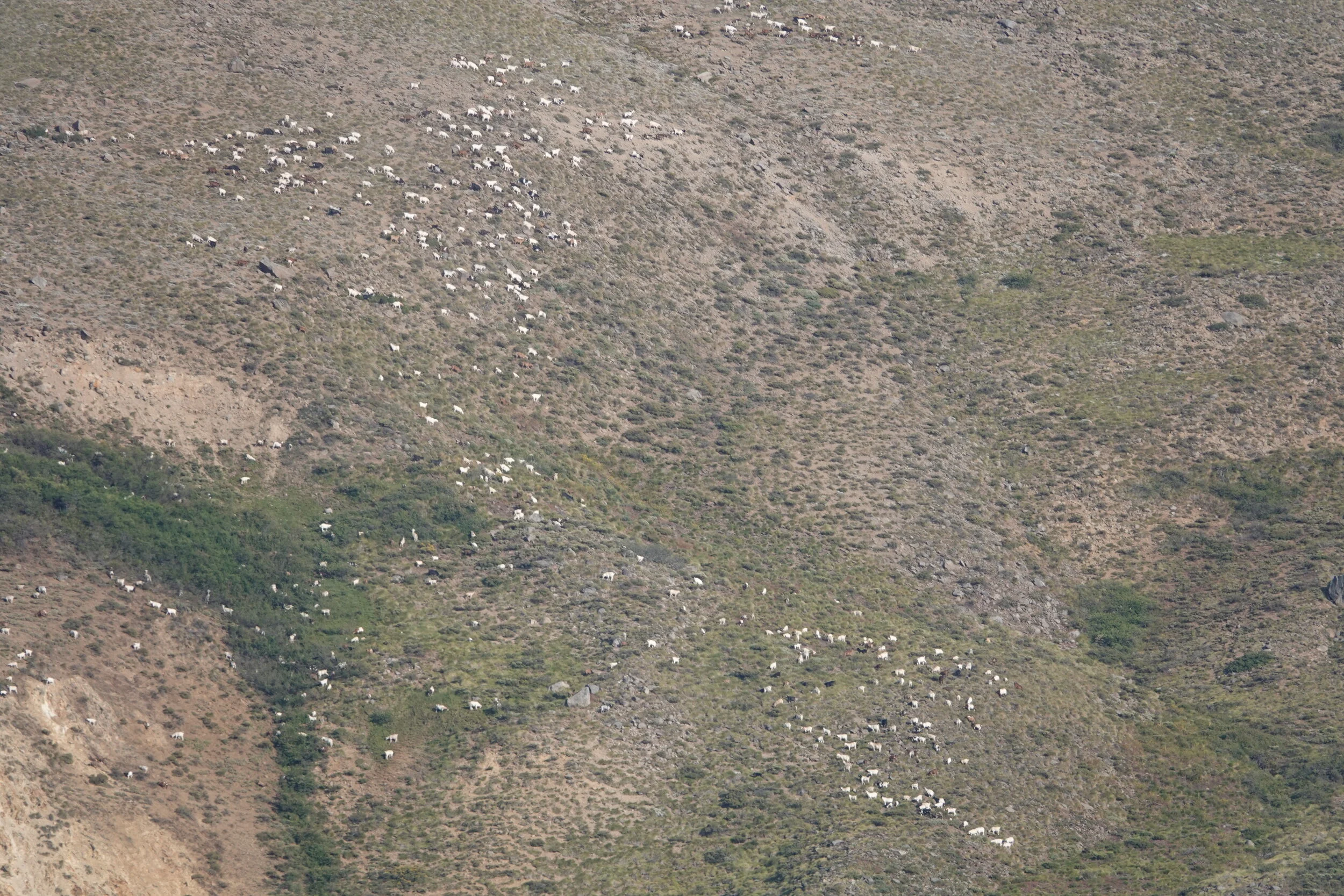
There were hundreds of goats on the other side of the lake and up the mountain
and some cows hanging out at the end of the lake
and a camp on the other side
They come out here once or twice a year here for an Asado (a roast) and to fish.
si ves esto, gracias
They were heading back in one day and by their route its only 2 days to their trucks I knew I should let my foot heal but I thought I should be able to make it to the Volcano if I keep it dry, I was also able to borrow some Band-Aids which should help a little. Looking back on Laguna Dial and forward to the amazing rock formations where the condors (and sometimes helicopters) fly over.
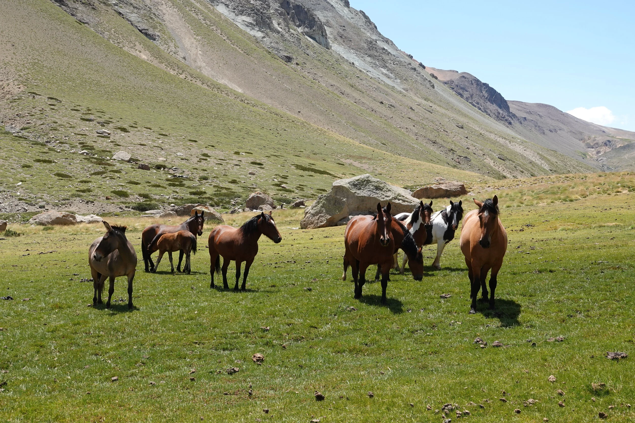
The cows always look at me as if I interrupted their work of keeping the grass to north american municipal standards and some horses watch carefully as I zig-zag up to the pass.
found the helicopter camp and then down into valley that really did not seem like had a way through.
what is that in the bush? a cow? answer in the full episode 39 soon :)
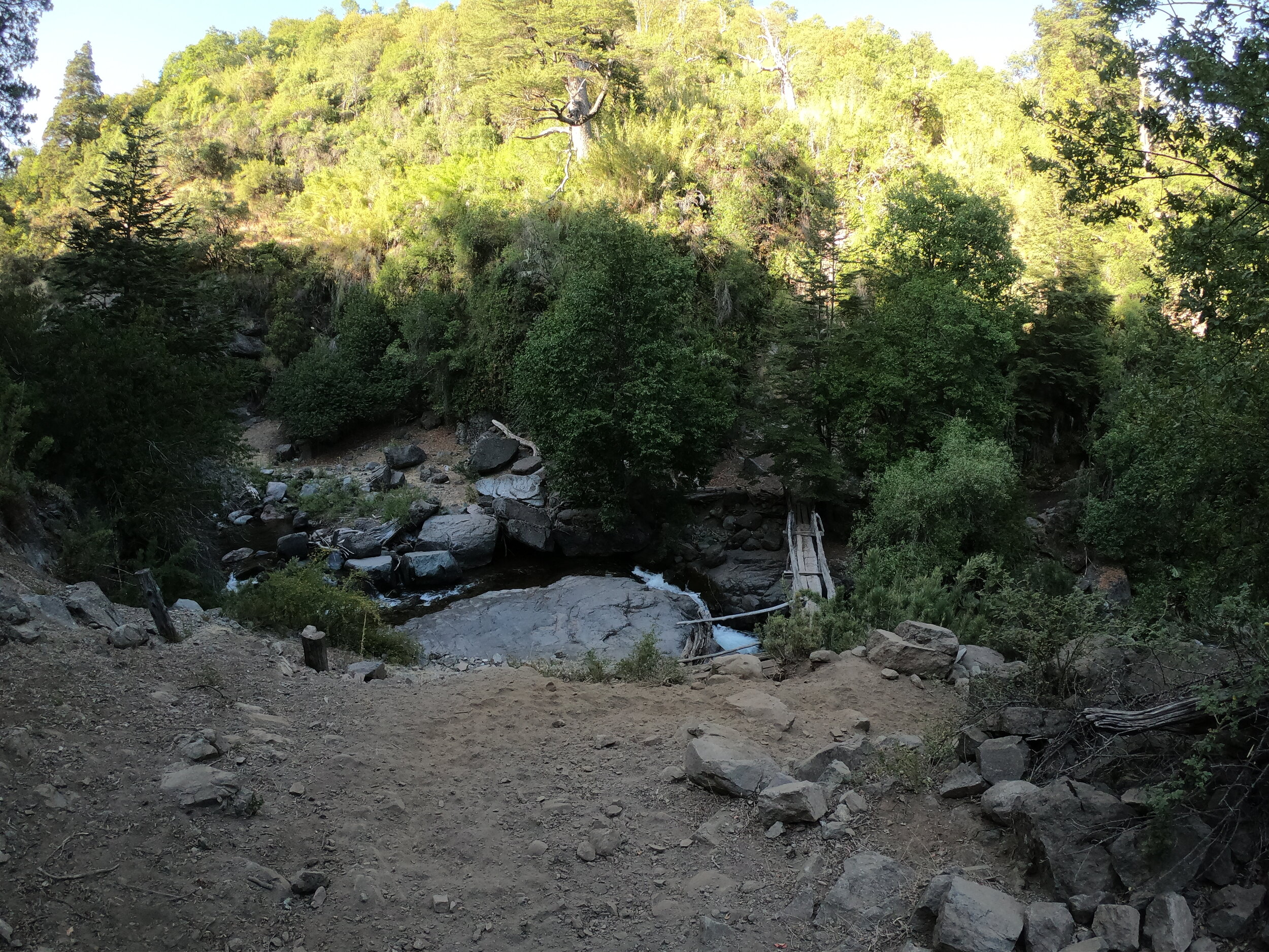
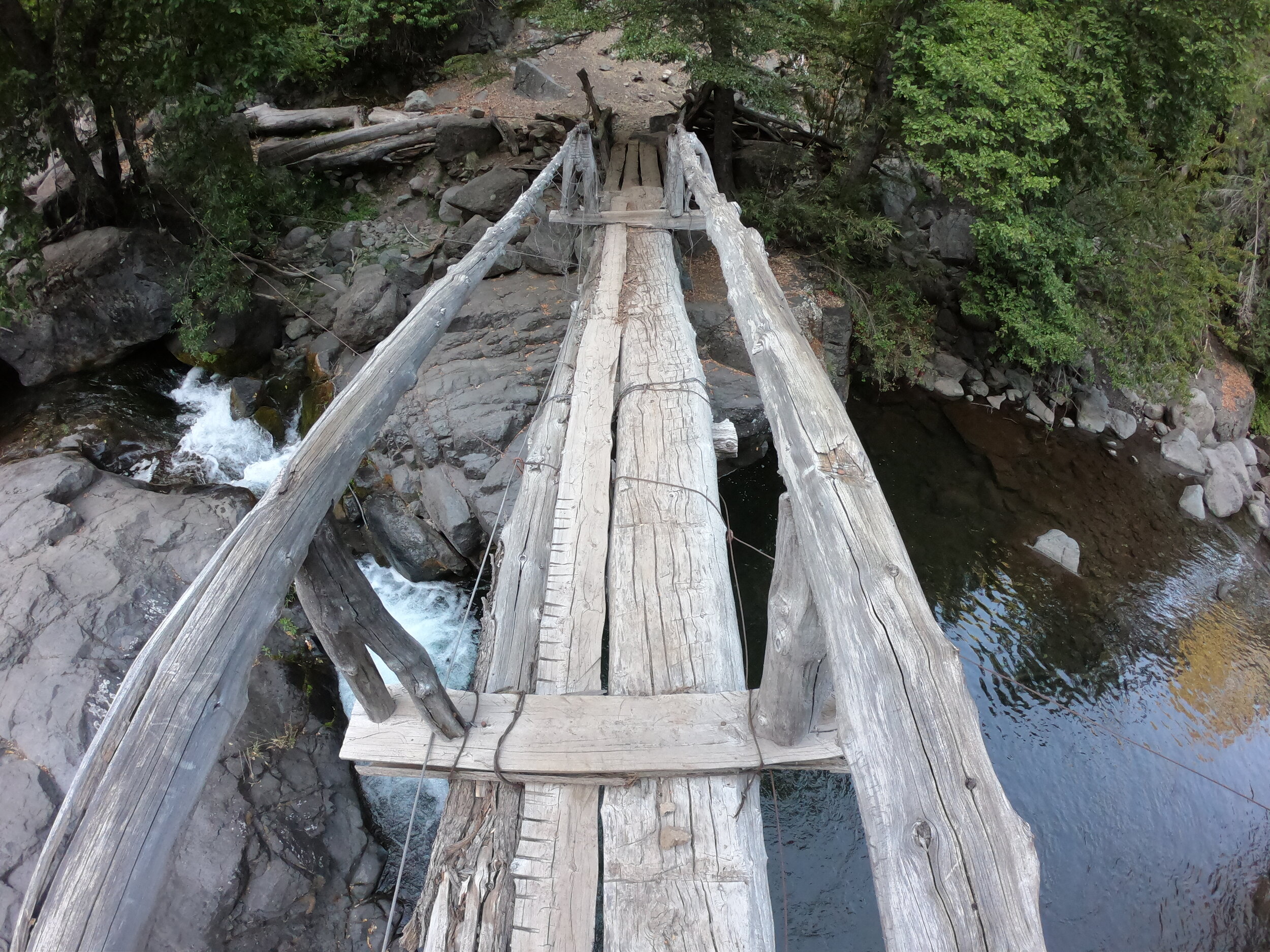
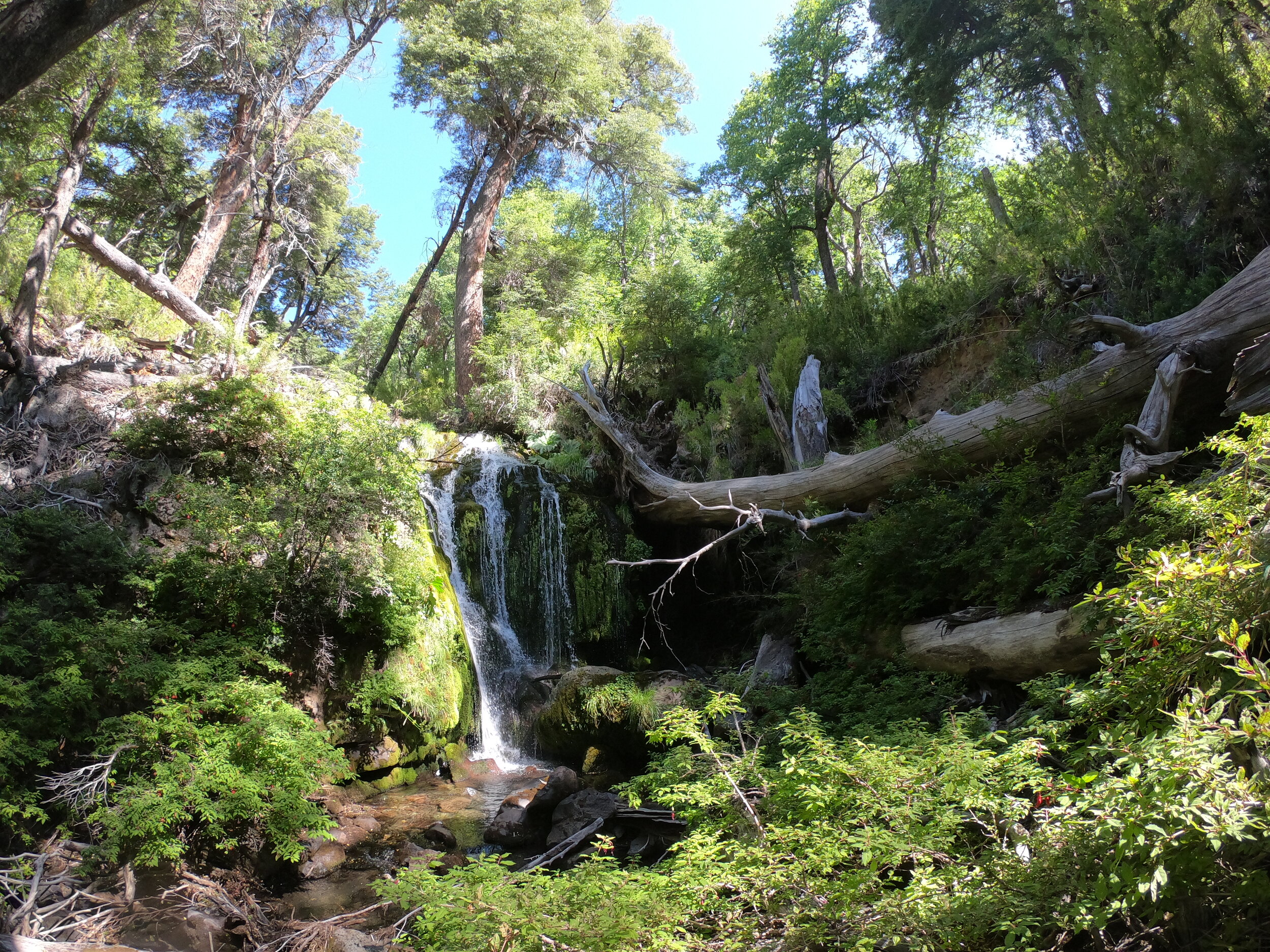
had a bit of an unplanned swim for me and the camera.

looking back, I tried to keep my burned foot along the rock and keep it drier and hopped with one leg in the water, not the best idea.
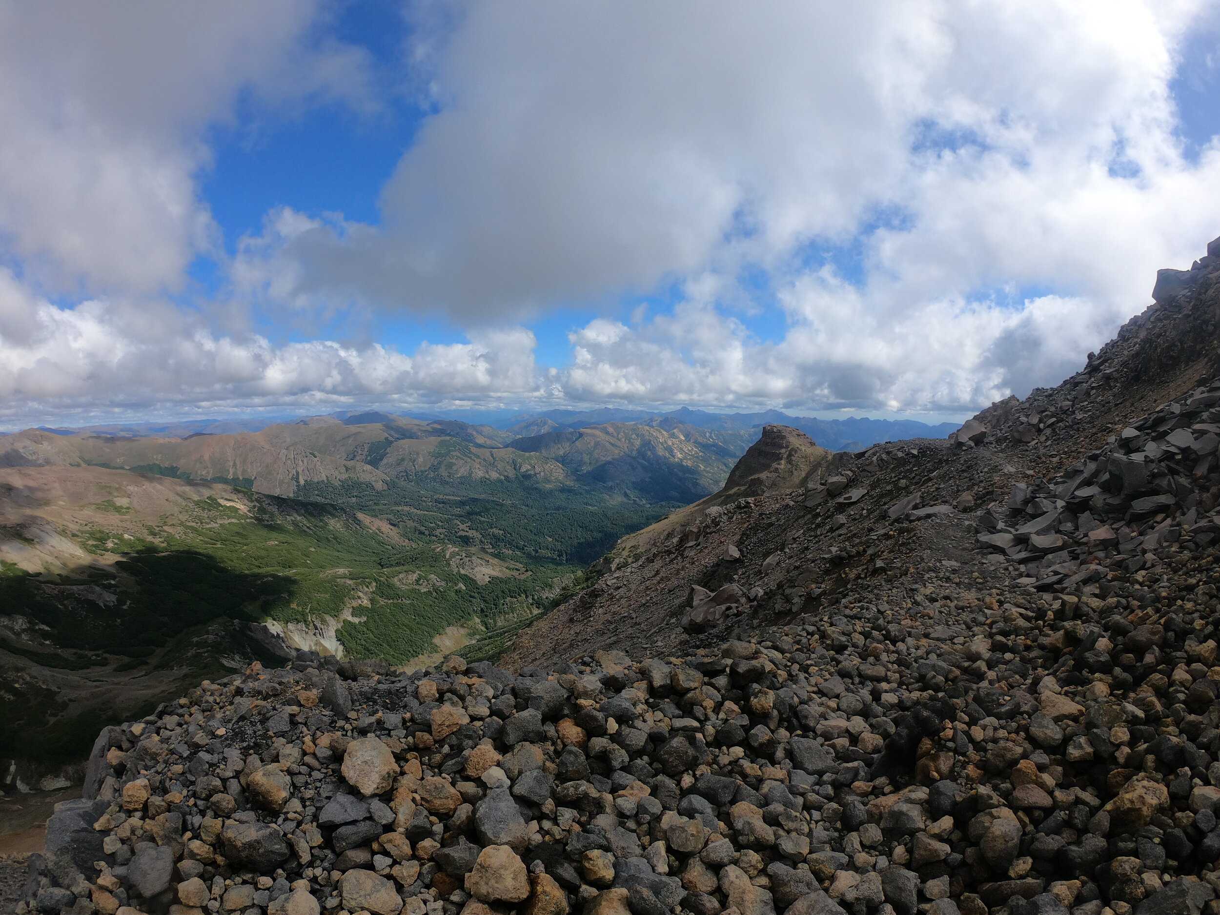
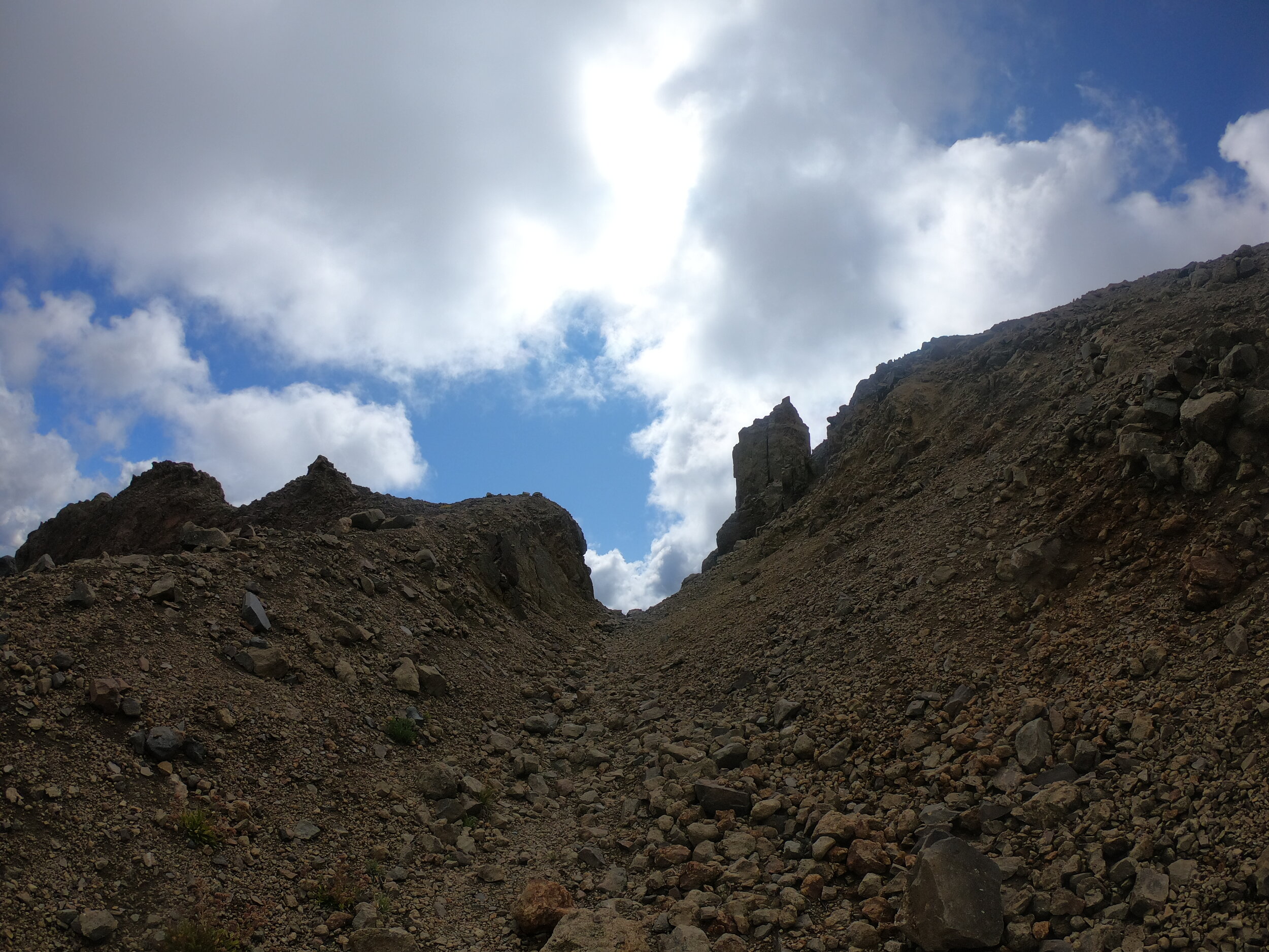
Now the photo journey continues but with the wide lenses of the gopro. They still cant capture how steep and tall these mountains are or the heat of the day or how it feels being next to one of these big rocks.
After a long day I found the perfect shade, fire ring and a good spot to take a rest day.
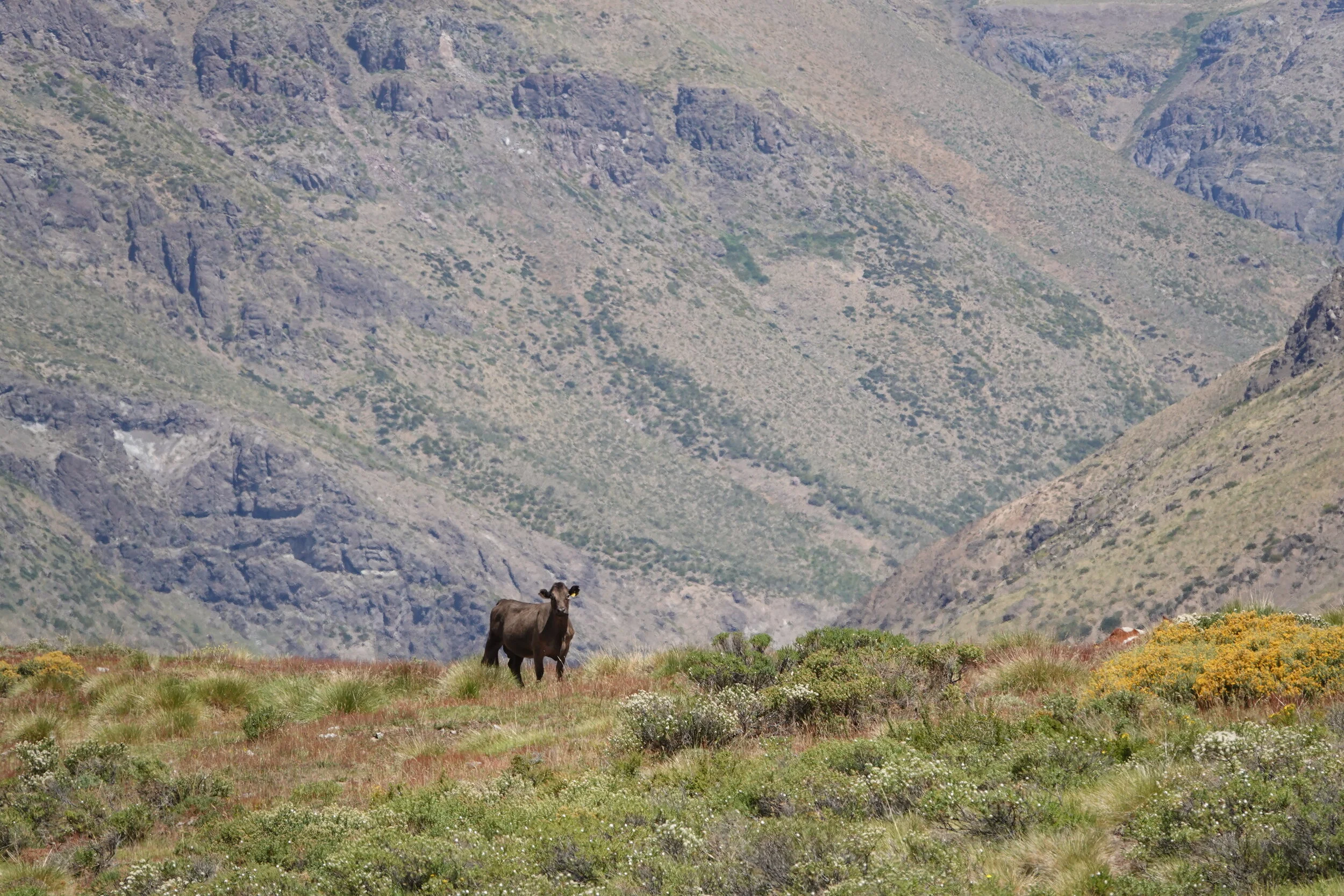
Day 6, ~110km. More surprised cows on a trail going toward some really nice rock formations
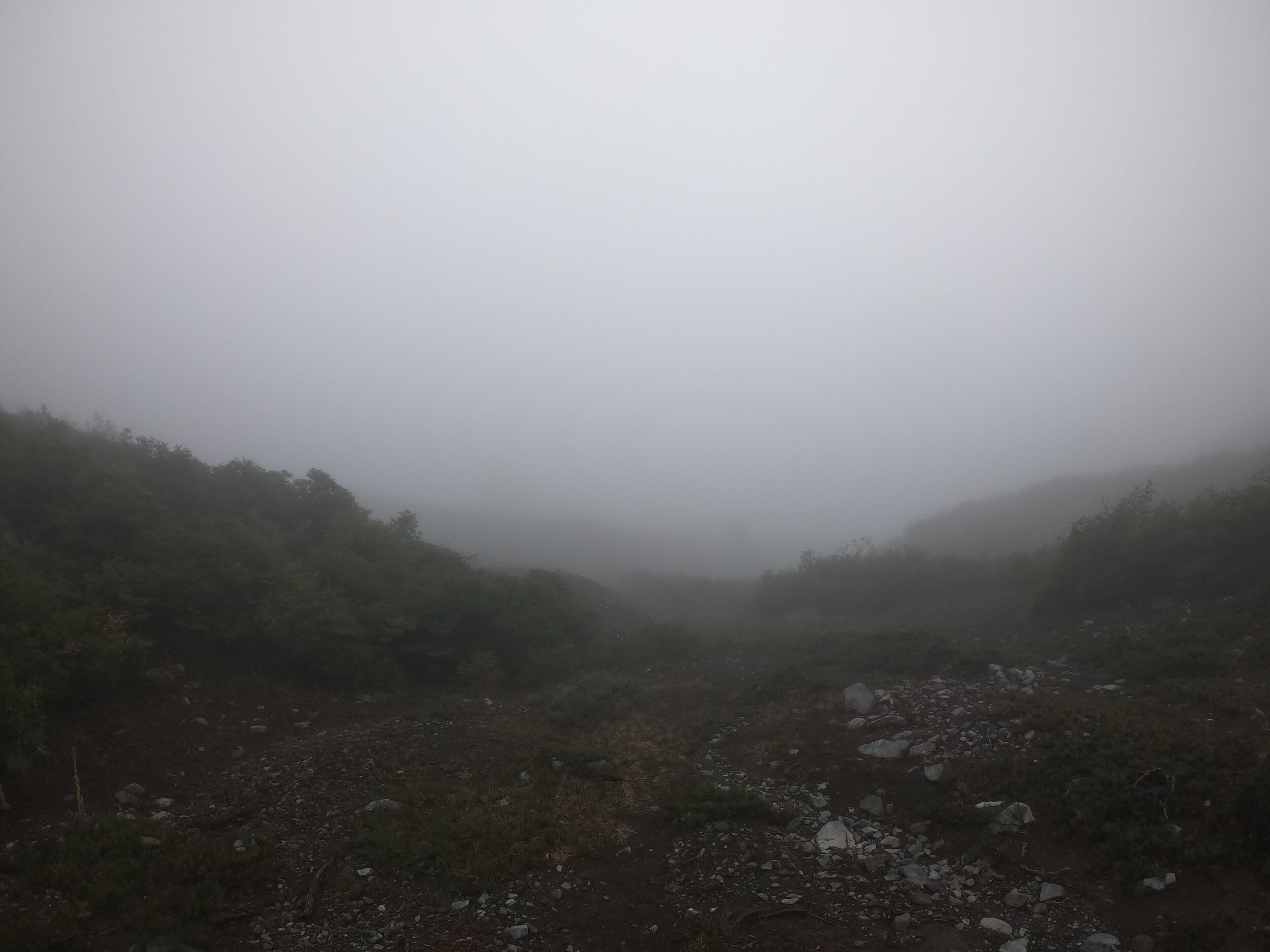
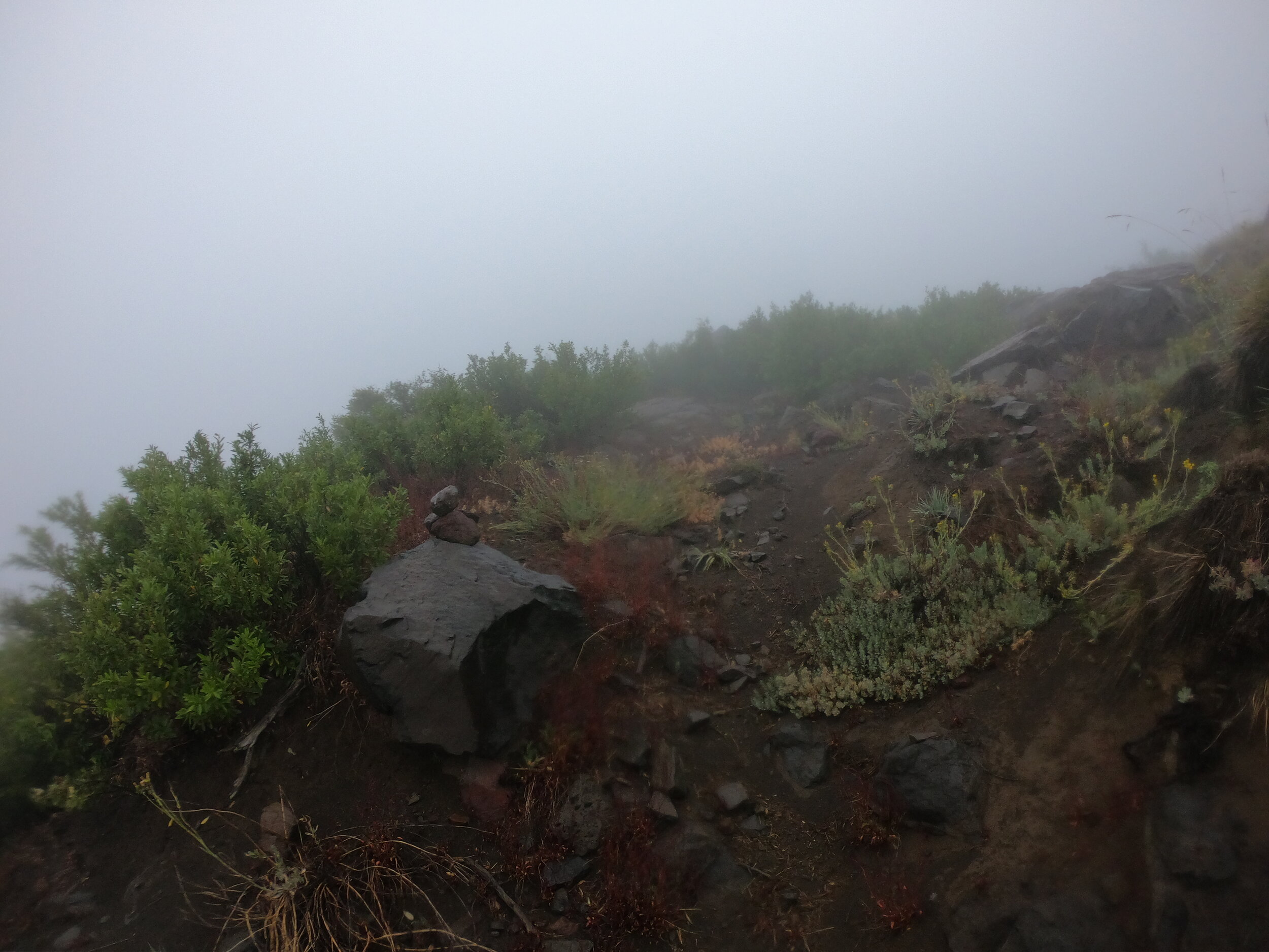
The trail ends and I am following a red dotted line (trail) on open street maps and these could or could not be actually there.
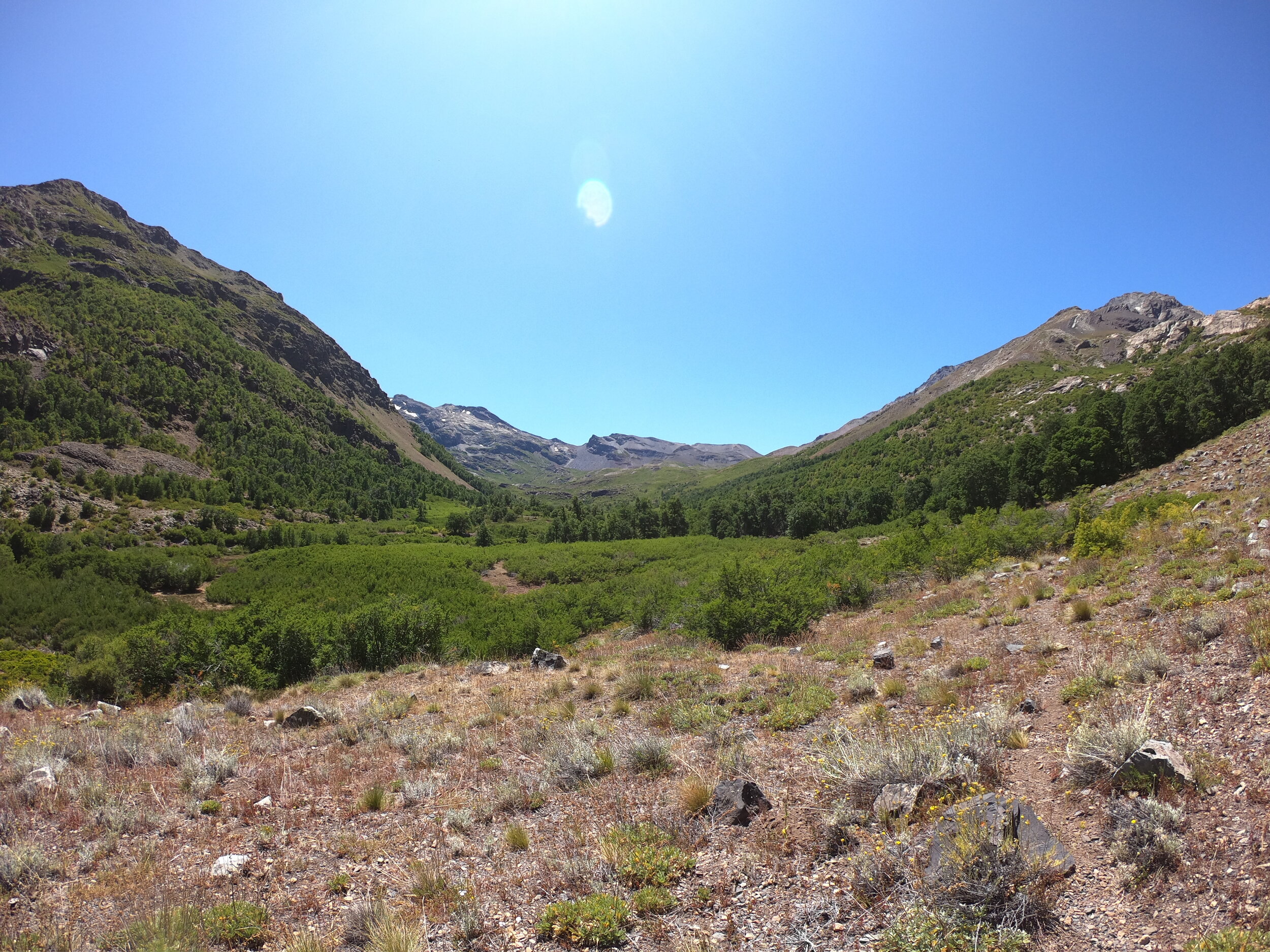
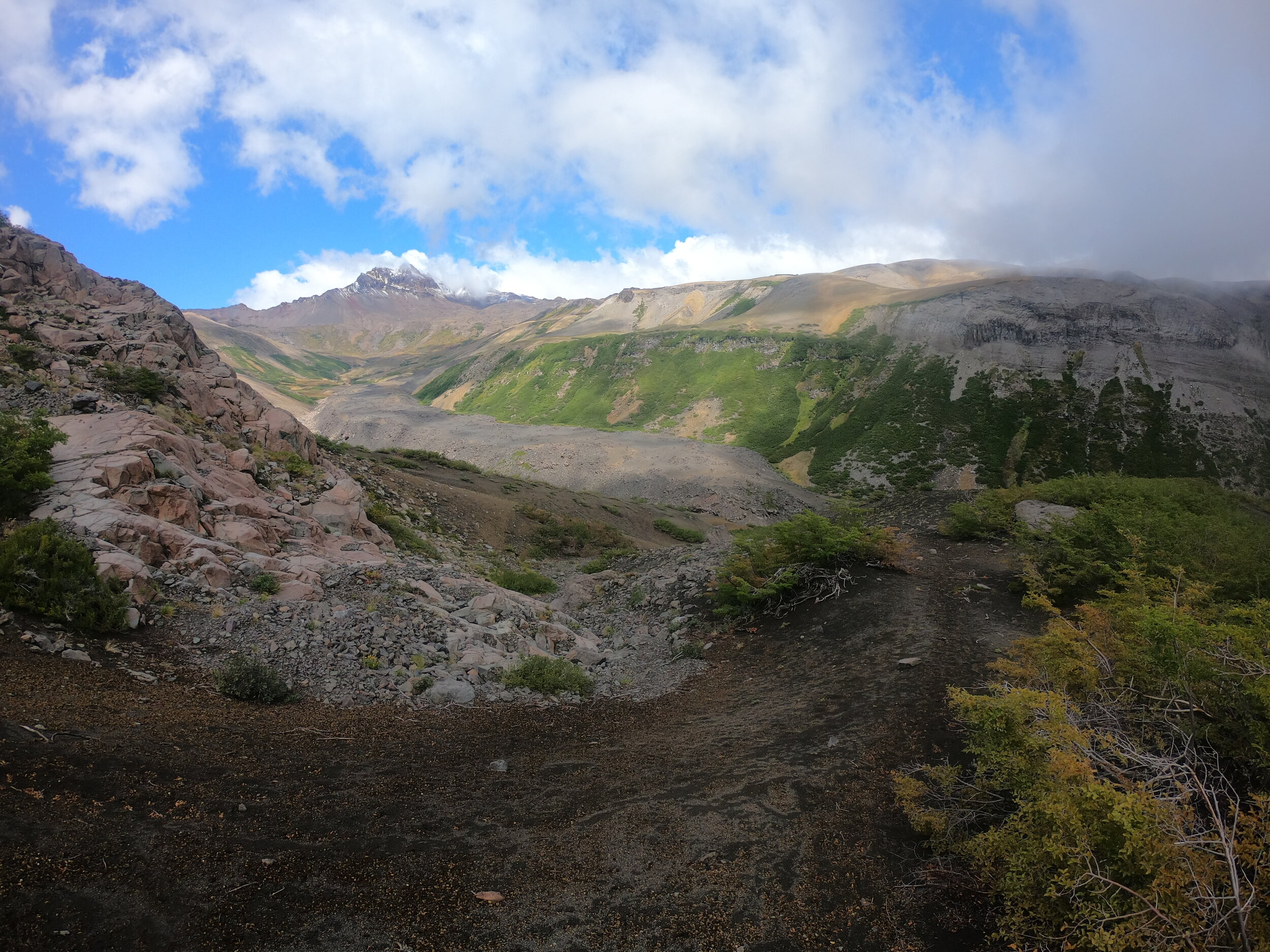
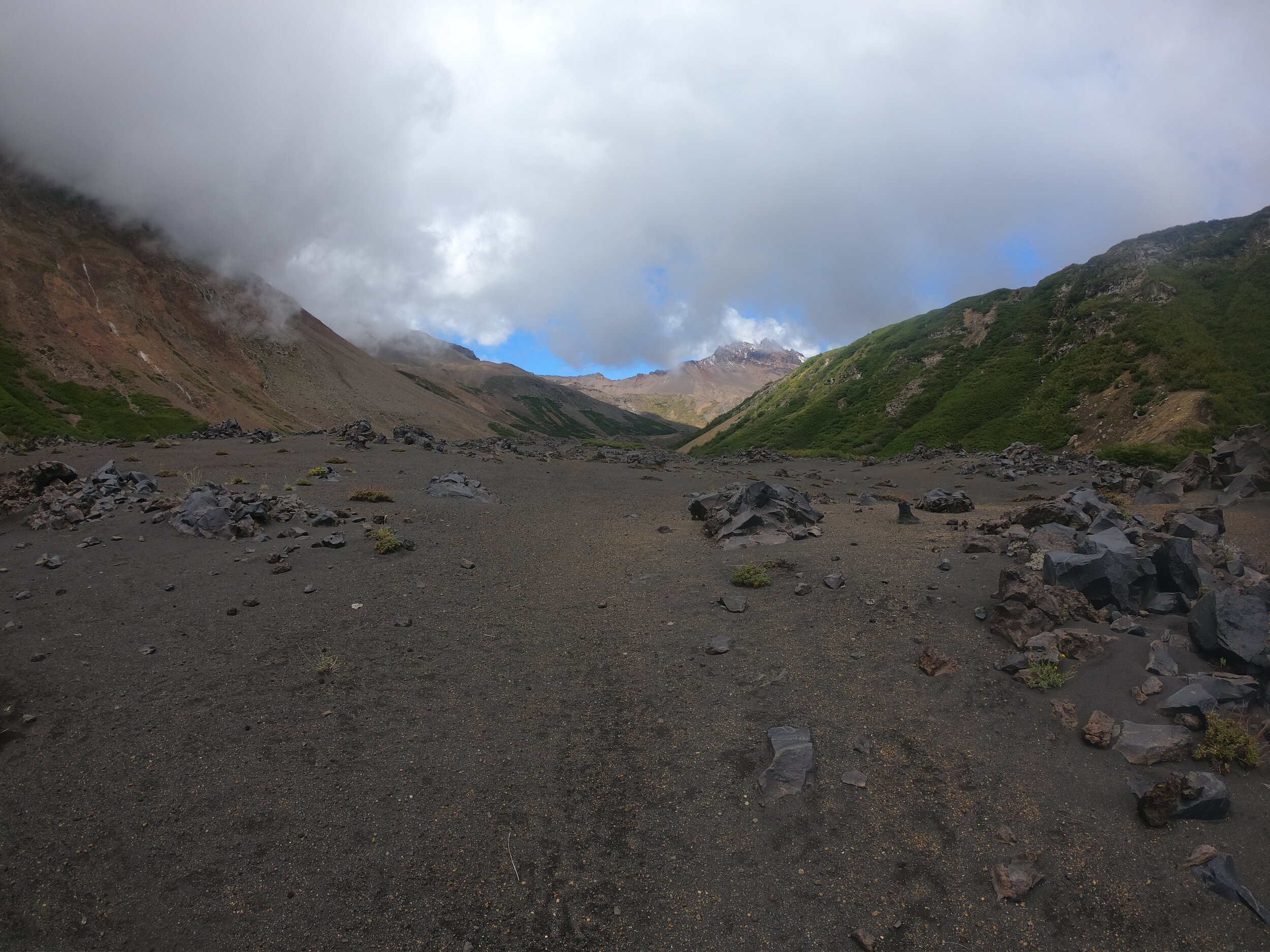
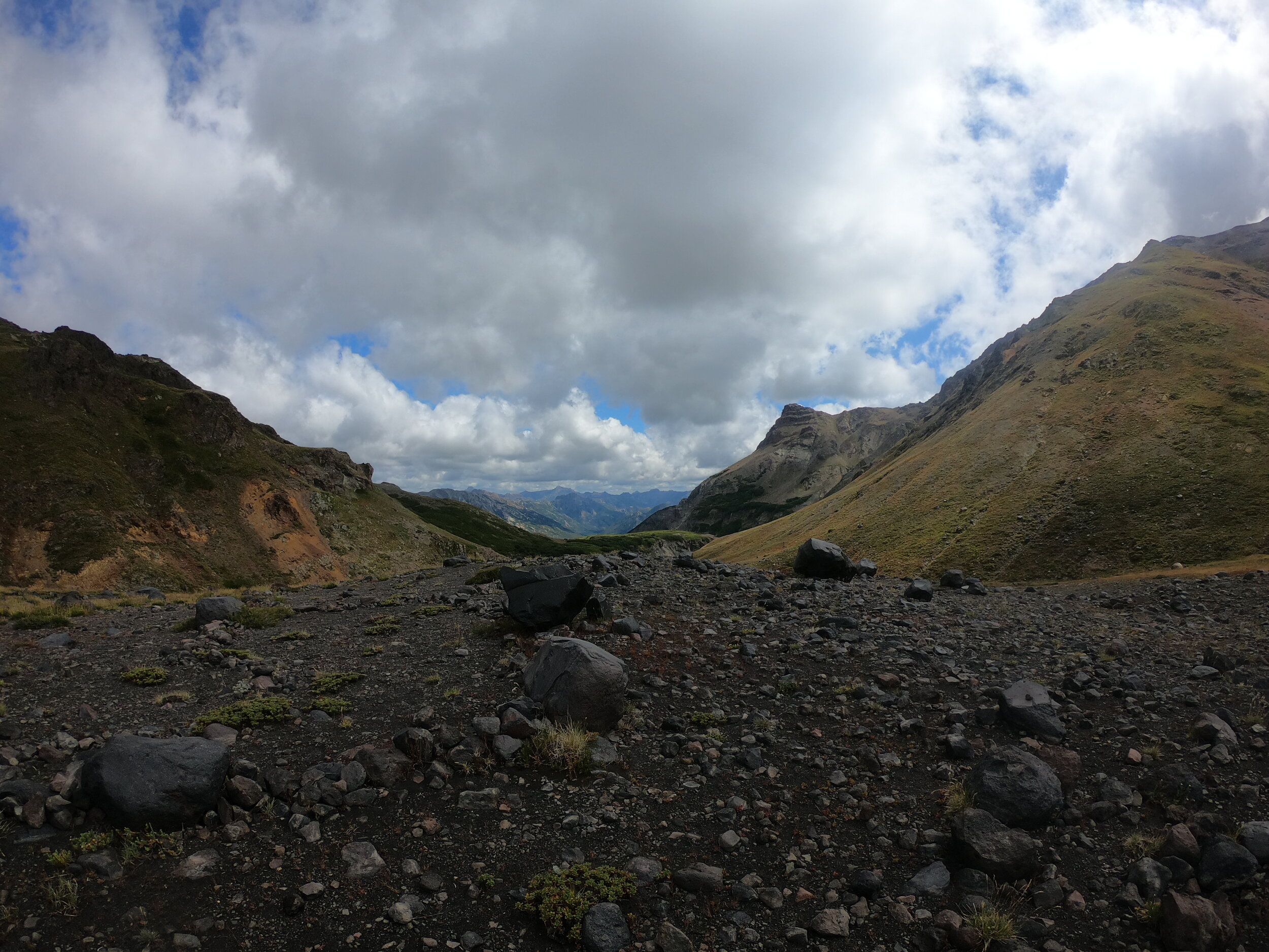
Finally distant views of Volcan Chillan and Chillan Viejo. The area is under yellow (or orange) level warning but I was told its okay to go. The Greater Patagonia Trail passes through some more lush vegetation nearing the volcano and at over 3000km makes this 160km section feel like a two bite brownie. I started over a year ago on the GPT leaving Santiago and was still exploring some of its alternative or exploratory routes around Lake O’Higgins until now.
The hike ended at the Chillan volcano ski resort and I got to see some friends before heading back into the torrent of civilization and final preparations for the Ojos trek
I should have done a better job acclimatizing as a 2-2500m trek is really not the best when you plan to go up to 6893m.
Got to meet Waldo, Jaky, Yupi and i forgot the little dog’s name

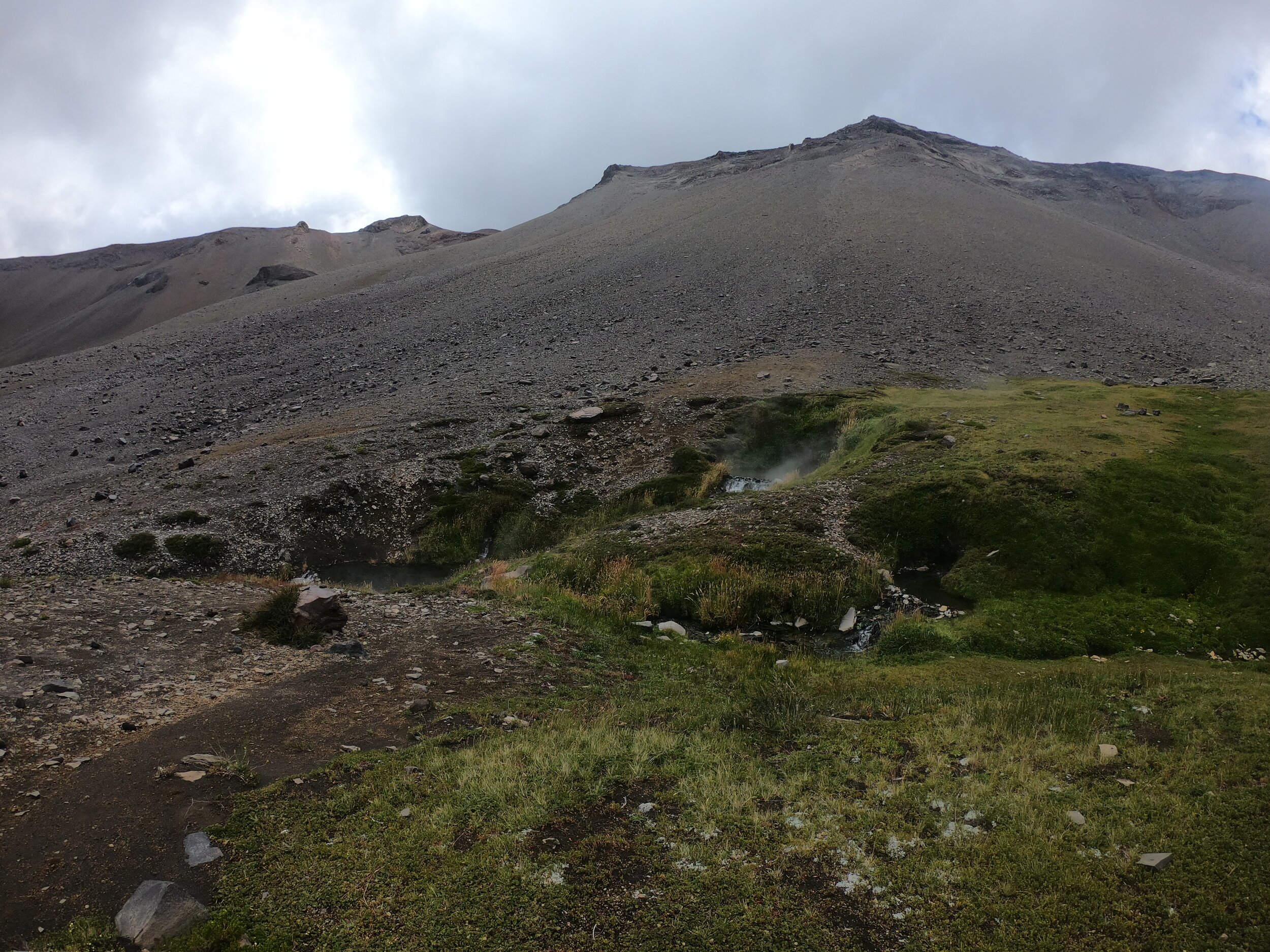
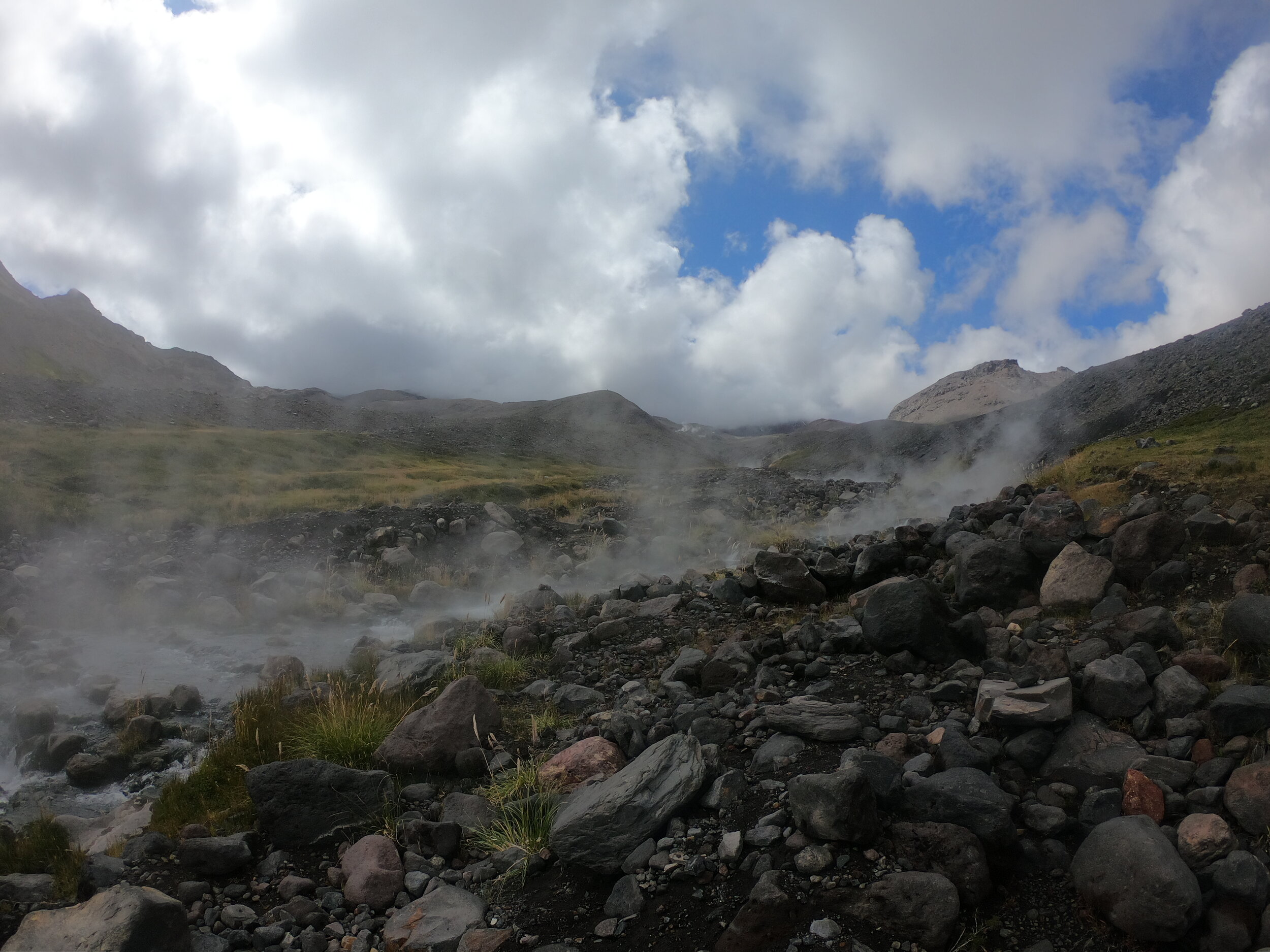
this was in the morning of the last day and it looked much worse in the end after 2.5 passes and few boiling hot creeks that had to be crossed
The jeep is all set and ready to go and should take us all the way into Argentina and the Six Thousanders.
approximate route via hand drawn track (not suitable at all for any type of navigation)